Glacial lake · Vaud, Geneva, Valais
Lake Geneva
The largest lake in Western Europe: 580.1 km² of water in a crescent, split down the middle between Switzerland and France.
Lake Geneva traces a crescent 72.8 km from east to west, less than 14 km across at its widest, between the foot of the Jura and the first Alpine ranges. Its surface of 580.1 km² makes it the largest lake in Western Europe; the water reaches 309.7 m below the surface, for a mean depth of 152.7 m. The Franco-Swiss border follows the axis of the lake: the northern shore and both tips belong to the cantons of Vaud, Geneva and Valais, the southern shore to Haute-Savoie. Of 200.2 km of shoreline, 58 are French.
The Rhône crosses the lake from east to west and supplies 75% of its inflow on its own. Since 1884 the level has no longer been left to rain and meltwater: it is regulated artificially within a narrow band, between 371.7 and 372.3 metres. Two basins of unequal size answer one another, the Grand-Lac to the east and the Petit-Lac between Yvoire and Geneva.
The shores, for their part, have changed hands and substance. In 2006 the international commission responsible for protecting the lake's waters found only 3% of the shoreline still wild; about 60% of the banks and their surroundings had been developed, riprapped, paved or taken into private hands, the remainder divided between semi-natural meadows and farmland. Geneva, Lausanne and Montreux on one side, Évian-les-Bains and Thonon-les-Bains on the other, punctuate a shore shared by 65 municipalities.
The name is older than the maps that carry it. Léman goes back to an Indo-European root that already means lake: saying lac Léman says it twice, a pleonasm fixed by usage since antiquity. Strabo writes lemanè limnè in the first century BC, Julius Caesar lacus lemanus in 58 BC. The Middle Ages preferred lac de Lausanne, the sixteenth century lac de Genève; the Swiss national map kept that last form for the whole body of water until 2003, then reserved it for the Petit-Lac alone.
Why this place is remarkable
What makes Lake Geneva striking is the gap between its bulk and what can actually be seen of it: 580.1 km² and 309.7 m of depth, yet an arc closed enough that no single shore shows the whole. It is also a lake shared by two states, its border following the axis of the water since the Treaty of Lausanne of 1564, and a regulated lake, held since 1884 between 371.7 and 372.3 metres.
History and origin
The origin of the basin long divided geologists. Three schools followed one another from the second half of the nineteenth century to the 1970s — tectonic influence, river erosion, the work of glaciers — and the tectonic hypothesis held the upper hand for a long time. Seismic imaging of the lake bed carried out in the 1980s tipped the balance towards overdeepening by the Rhône glacier during the Quaternary glaciations. The lake itself took shape as that glacier withdrew, close to 16,000 years ago. The same encyclopedic source nevertheless keeps, in its summary, an older wording that assigns the Grand-Lac to tectonic folding and the Petit-Lac to the glacier: the disagreement is reported here rather than settled.
What to do and see
- Observe the lake's curve from the shore, knowing that no single point allows seeing all of it at a glance.
- Spot the passage of the Rhône, which crosses the lake from east to west and supplies 75% of its inflow.
- Compare the lake's two basins, the Grand-Lac to the east and the Petit-Lac between Yvoire and Geneva.
- Follow the shores between Lausanne and Montreux on one side, Évian-les-Bains and Thonon-les-Bains on the other.
As a couple
- A walk by the water, on a shoreline today developed to about 60% according to the source.
- The passage from the Grand-Lac to the Petit-Lac, two uneven moods on the same body of water.
- The shore on the Lausanne or Montreux side, facing the French relief on the other bank.
- The lake's very name, an ancient pleonasm between Strabo and Julius Caesar, as a topic of conversation along the way.
Location
Loads an interactive Google Maps view on demand, from the place's verified coordinates.
The embedded map will be enabled once an authorized Google Maps key is configured. Use the link above in the meantime.
The map could not load. Check your connection or use the link above to open the place in Google Maps.
Related places
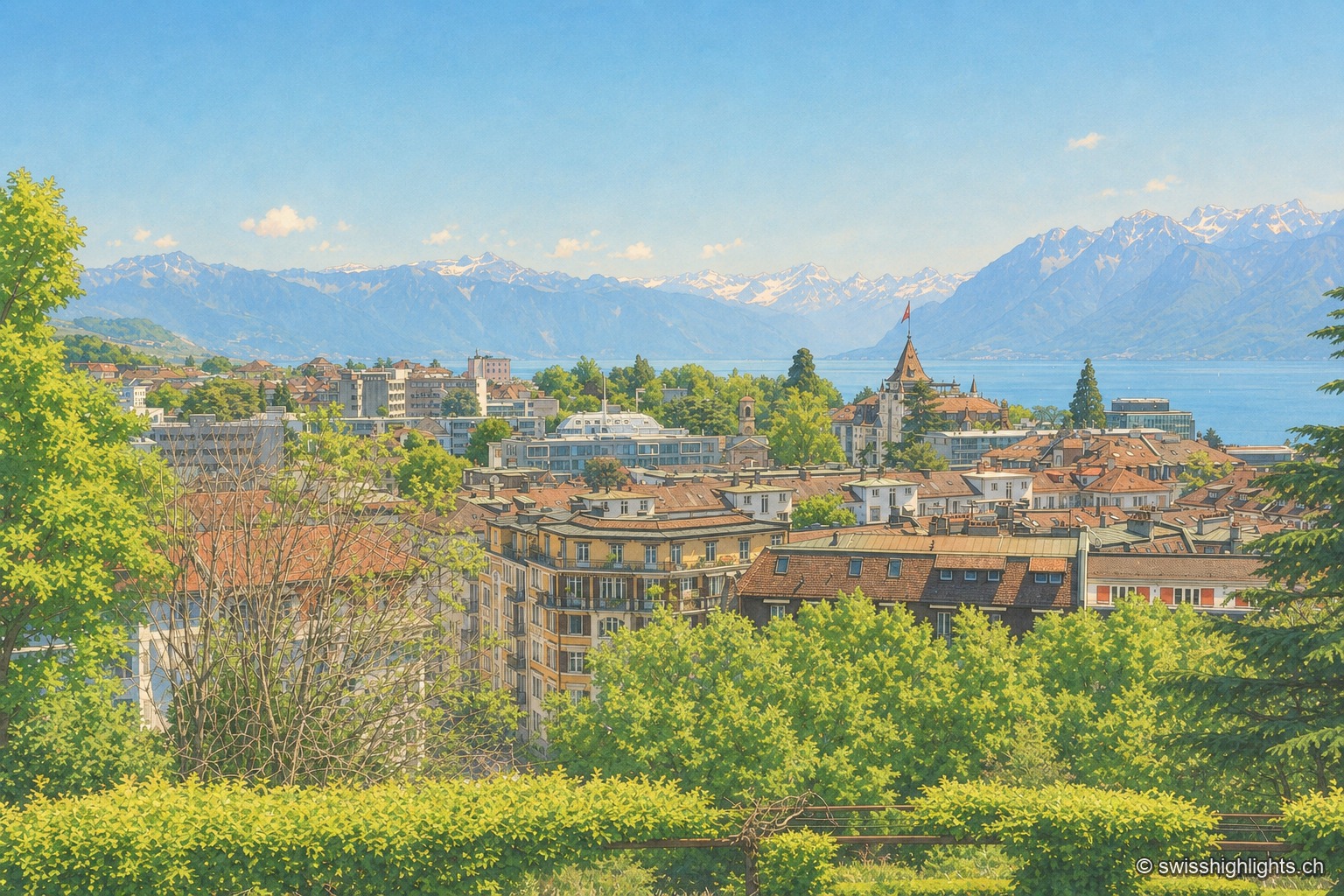
City on a slope · Lake Geneva · 11 km as the crow flies
Lausanne
Built on three hills above Lake Geneva, Lausanne climbs without pause. Its cathedral, raised between 1170 and 1230, is the most important Gothic one in Switzerland, and the International Olympic Committee has sat here since 1915.
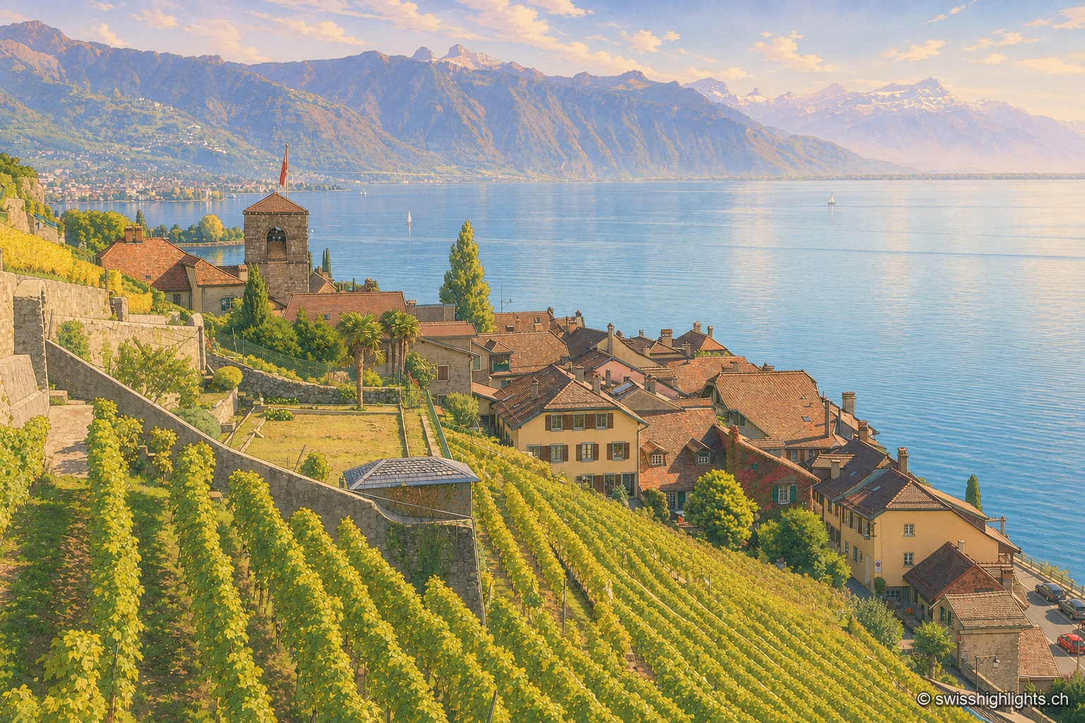
Wine village · Vaud · 19 km as the crow flies
Saint-Saphorin
The original village, at the water's edge, was destroyed by the Tauredunum landslide in 563. Rebuilt higher up, it gathered around a church raised between 1517 and 1521, whose floor still covers Roman remains.
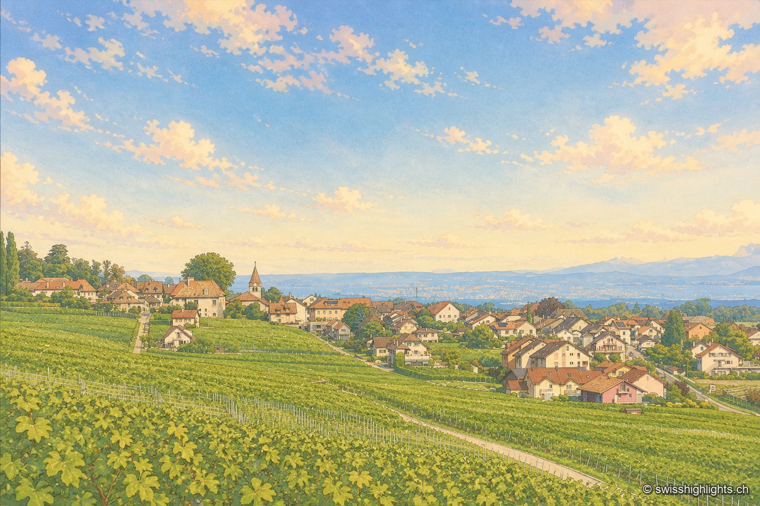
Wine village · La Côte, Vaud · 20 km as the crow flies
Bursins
The church of Saint-Martin, built in the 11th century and a priory of Romainmôtier from 1238, holds the upper end of the village. Below it the vines run down towards the plain and the lake.