Hamlet on Lac de Joux · Vaud
Le Pont
At the northern tip of Lac de Joux, a hamlet born of a bridge built in the 17th century to link Le Lieu and Le Chenit to the lower valley.
Le Pont sits at the northern end of Lac de Joux, in the municipality of L'Abbaye, in the Vaud district of Jura-Nord vaudois. It is one of the few places in the Vaud Jura sheltered from north winds, at the meeting point of the roads into the Vallée de Joux over the Mollendruz, Pétra-Félix and Mont-d'Orzeires passes. The hamlet also overlooks nearby Lac Brenet, and has around 395 inhabitants according to the Italian Wikipedia.
The land was formerly named Champ du Port and belonged to the abbey of Lac de Joux. Around 1400, a Rochat from Les Charbonnières — a descendant of a Vinet-Rochat who had come from France to settle at the Abbaye — took over the estate, from then on tied to the fate of the neighbouring locality of Les Charbonnières and known as Petites Charbonnières. To reach it from Le Lieu or Les Charbonnières, one had to go around Lac Brenet, hence the local name la Tornaz. In the first half of the 17th century, the municipalities of Le Lieu and Le Chenit had a bridge built that eased communications toward the lower valley and the plain; the place then took the name Vers le Pont, then Le Pont.
In the second half of the 19th century, French families began spending summers there. Once the railway made it easy to reach, the Grand Hôtel was built in 1900 and 1901; the reformed church, built in the 18th century, was rebuilt that same year, 1900. Le Pont station, terminus of the Pont-Brassus line, still serves the hamlet.
Why this place is remarkable
The hamlet's name tells its own history: an estate called Champ du Port that became Petites Charbonnières, then Vers le Pont after a bridge was built in the 17th century to ease access to the lower Vallée de Joux — and finally Le Pont. Sheltered from north winds at a crossroads of mountain passes, it became, around 1900, a summer resort linked by rail, with its Grand Hôtel and terminus station, without ever losing its role as a passage point between Lac de Joux and Lac Brenet.
History and origin
The estate, named Champ du Port, belonged to the abbey of Lac de Joux before being taken over around 1400 by a Rochat from Les Charbonnières, which earned it the name Petites Charbonnières. The building of a bridge by the municipalities of Le Lieu and Le Chenit, in the first half of the 17th century, changed its name to Vers le Pont, then Le Pont. The arrival of the railway, in the late 19th century, brought the construction of the Grand Hôtel (1900-1901) and the rebuilding, in 1900, of the 18th-century reformed church.
What to do and see
- Observe the bridge built in the 17th century by the communes of Le Lieu and Le Chenit, which gave the hamlet its name.
- Follow the northern end of Lake Joux, then reach nearby Lac Brenet.
- See the Grand Hôtel, built in 1900-1901 when the railway arrived.
- Spot the Le Pont station, terminus of the Pont-Brassus line.
Coming with family: what to know
- The hamlet connects two neighboring lakes and a station, with no indication of difficult terrain in the source.
As a couple
- A walk between Lake Joux and Lac Brenet, separated by the hamlet.
- The 17th-century bridge, which gave the place its name.
- The Grand Hôtel from 1900, a reminder of the summer resort era at the turn of the century.
Location
Loads an interactive Google Maps view on demand, from the place's verified coordinates.
The embedded map will be enabled once an authorized Google Maps key is configured. Use the link above in the meantime.
The map could not load. Check your connection or use the link above to open the place in Google Maps.
Related places
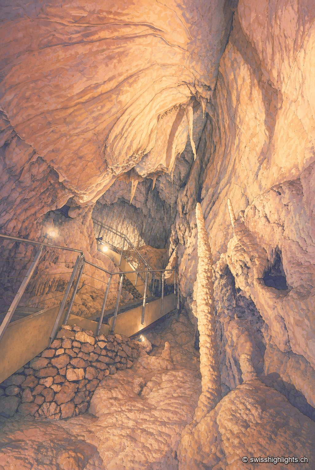
Karst cave · Vaud · 4 km as the crow flies
Grottes de Vallorbe
The Orbe leaves Lake Joux, vanishes into the limestone and comes back out 4.8 kilometres away at Vallorbe. Its underground course runs 2,980 metres with a drop of 228 metres; a third of the known network is walked in an hour.
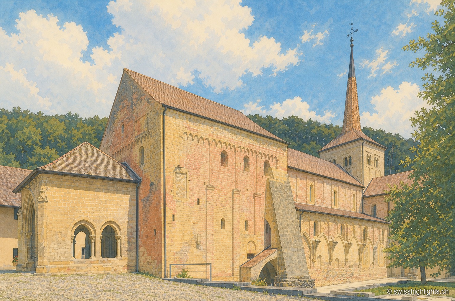
Cluniac village · Vaud · 11 km as the crow flies
Romainmôtier
The former abbey church of Saint Peter and Paul towers over a few sloping streets in the bottom of the Nozon valley. Handed to Cluny around 929, the Romanesque church is now a Reformed temple and a cultural property of national importance.

Rock cirque · Vaud Jura · 13 km as the crow flies
Tine de Conflens
Named after a Vaud patois phrase meaning 'confluence falls', the Tine de Conflens brings together two waterfalls: the Veyron's and the Venoge's, which it swells. A steep but maintained path leads to their foot.