Waterfall · Valais
Cascade de la Pissevache
A 116-metre fall above the Rhône plain, fed by the Salanfe, between the village of Vernayaz and the hamlet of Miéville.
The Pissevache drops 116 metres down the left flank of the Rhône valley, between the village of Vernayaz and the hamlet of Miéville, in the district of Saint-Maurice. The water comes from the Salanfe, which runs above the cliff; the place is also known as the Salanfe fall. It gives itself all at once: a white sheet laid against dark rock, a dry pale slope beside it, then the water setting off again in threads between the boulders, level with the grass.
Few falls have been looked at for so long. Goethe stopped here in 1779 and judged that it deserved its fame more than many others. The Jura folklorist Désiré Monnier drew it on 25 September 1845. From the 1860s the visit was organised: a walkway built in 1866 at mid-height took visitors under the water, for one franc.
Today's flow is no longer the one in those accounts. Between 1947 and 1950 the Salanfe dam was built upstream and the Miéville hydroelectric station drew off the water: since then the fall has thinned considerably and its volume depends on rainfall. Depending on the season and the rain, the sheet seen in photographs can shrink to a few threads.
Why this place is remarkable
Two histories overlap here, and they concern the same water. One is a history of looking: travellers, painters, a writer who came in 1779, a paying walkway under the fall from 1866. The other is a history of use: the same water drove saws and trip hammers, then one of the earliest hydroelectric plants, before being held back upstream. The Pissevache is a celebrated landscape that was put to work, and what falls today is what the dam lets through.
History and origin
From the 17th to the 19th century the water of the fall drove mills and other contrivances: a hydraulic saw, a trip hammer. As late as 1894 a woodworking factory settled here to use it. At the end of the 19th century a hydroelectric plant was built at the top of the fall, the Pissevache station; the sources consulted count it among the oldest. The break came in the middle of the 20th century, with the Salanfe dam, built from 1947 to 1950, and the Miéville station, which take off most of the flow.
What to do and see
- Watch the 116-metre fall from its foot, framed between the dark rock and the light slope on either side.
- Spot the site of the former footbridge built in 1866 halfway up, which took visitors behind the water.
- Follow the threads of water that scatter among the boulders at grass level, at the foot of the fall.
Coming with family: what to know
- The flow varies with rainfall since the Salanfe dam was built between 1947 and 1950: the fall can be much thinner than in photographs.
As a couple
- Picture Goethe, who stopped here in 1779 and was convinced the fall deserved its fame.
- Watch the white sheet that drops all at once between the village of Vernayaz and the hamlet of Miéville.
- In front of the waterfall, tell each other how folklorist Désiré Monnier sketched it on 25 September 1845.
The flow has varied with rainfall since the upstream dam was filled: the fall can be far thinner than in photographs.
Location
Loads an interactive Google Maps view on demand, from the place's verified coordinates.
The embedded map will be enabled once an authorized Google Maps key is configured. Use the link above in the meantime.
The map could not load. Check your connection or use the link above to open the place in Google Maps.
Related places
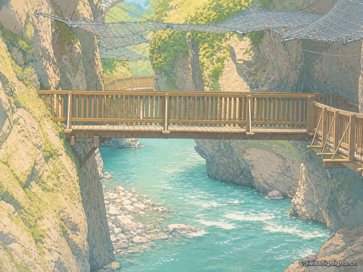
Alpine gorge · Valais · 2 km as the crow flies
Gorges du Trient
Between the communes of Salvan, Vernayaz and Martigny, the Trient has carved a 2 km gorge through rock combining moraine deposits, amphibolite, limestone and schist; two bridges mark the trail that follows it to the Pissevache waterfall.
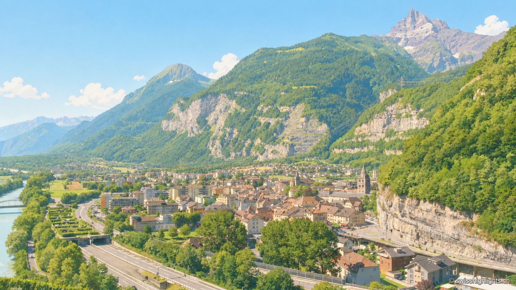
Lock on the Rhône · Valais · 9 km as the crow flies
Saint-Maurice
A stage on the Via Francigena recorded as early as 990, locked by the Château des Gouverneurs and its 12th-century bridge over the Rhône, the town burned down in 1693 before planting, first in Valais, a liberty tree in 1798.
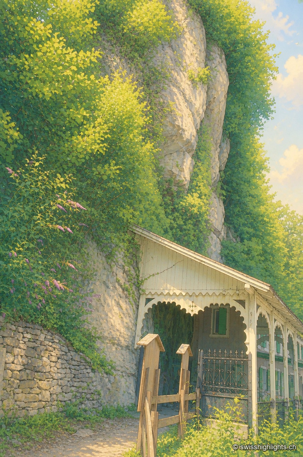
Show cave · Valais · 9 km as the crow flies
Grotte aux Fées
Opened to the public on 15 August 1864, the developed gallery follows the rock for 504 metres and ends beneath a 77-metre fall. Beyond it lies a network of 3,630 metres that the army extended between two Valais forts.