Show cave · Valais
Grotte aux Fées
Above Saint-Maurice, a 504-metre gallery runs into the cliff to the foot of a waterfall that drops 77 metres into an underground lake.
The Grotte aux Fées cuts into the cliff above Saint-Maurice, in the Lower Valais. The gallery open to visitors follows the rock for 504 metres and stops at the foot of a waterfall: the water drops 77 metres and gathers in a lake of 75 square metres at the end of the passage. Above the fall the cave continues as the Virieux gallery, 1,798 metres long, outside the visitor route. Since it was linked to the neighbouring Saint-Martin cave on 1 May 2010, it has belonged to an underground network of 3,630 metres with a vertical range of 249 metres.
The name is recent. The place was called Trou aux Fayes — faye is the dialect word for sheep — because flocks sheltered here on stormy days; the 19th century turned it into Trou des Fées, and the present form came only with the opening to visitors, in an age that liked such echoes. That opening was decided in 1863: a canon of the abbey college, convinced of the site's potential after going down with his pupils, secured the purchase of the land for 400 francs; the works cost 5,600; the cave received its first visitors on 15 August 1864, for the benefit of the Vérolliez orphanage, and the entrance pavilion was inaugurated in 1866. The waterfall itself was not found until 1867, through a passage that drought had made practicable.
Under the mountain a second history was written, this one military. 450 metres from the entrance opens the Galerie des Morts, 480 metres long; in 1935 and 1936 the army drove an artificial tunnel of 490 metres beyond it, connecting Fort de Cindey and Fort du Scex through the cave. The Confederation expropriated the site in 1939. The explorers, for their part, had long been stopped by something else: past 500 to 600 metres the air at the far end put out candles, matches and oil lamps, and electric light was needed to cross that threshold.
Why this place is remarkable
What makes the Grotte aux Fées unusual is the way three uses are stacked in the same rock: a shelter for flocks, opened to the public in 1864 and run for the benefit of an orphanage; a 77-metre waterfall falling inside the mountain, found three years later; and a 490-metre military tunnel linking two forts through the cave. The developed route, 504 metres long, passes from one layer to the next without transition.
History and origin
The first documented use had nothing to do with tourism: in 940 the canons of the Abbey of Saint-Maurice put their treasure out of reach of plunder here. Two Capuchins, Fathers Basile and Corneille, left inscriptions in 1643 and 1646. Methodical exploration began in 1831, when two Bernese, Haller and Ott, carved their names where a narrowing stopped them, some 650 metres from the entrance. The top of the waterfall was not reached until 17 January 1925, by Augustin Jacquemain and Denis Fournier, after months spent hauling and fixing wooden and iron ladders against the streaming wall. Finds near the pavilion — an Iron Age sickle, a paving laid over ashes, a wall of cyclopean masonry — suggested early occupation of the site; Canon Ignace Mariétan held the cave to be too inhospitable and noted the absence of bones and tools in the rubble.
What to do and see
- Follow the developed 504-metre gallery to the waterfall that drops 77 metres into a 75-square-metre underground lake.
- Spot the traces of the site's three successive uses: shelter for livestock, tourist exploration from 1864, and military tunnelling of 1935-1936.
- Observe the entrance pavilion inaugurated in 1866, above Saint-Maurice.
- Imagine the discovery of the waterfall in 1867, found through a passage made accessible by the drought.
Coming with family: what to know
- Only the developed 504-metre gallery is open to visitors; the galerie des Morts, the galerie Virieux and the military tunnel remain closed to the public.
- The cavity's water regime is irregular, with a history of flooding that has required a diversion.
As a couple
- Walk together to the foot of the 77-metre underground waterfall, at the far end of the developed gallery.
- Tell each other the story of the canon who had the cave opened in 1864 for the benefit of the Vérolliez orphanage.
- Observe the cliff overlooking Saint-Maurice, into which the 504-metre gallery was bored.
Only the developed gallery, 504 metres long, can be visited: the Galerie des Morts, the Virieux gallery and the military tunnel between the two forts are not open to the public.
The water regime of the cave is irregular; after the floods of 1882 the operators had to cut a diversion to bypass a section that rising water flooded periodically.
Location
Loads an interactive Google Maps view on demand, from the place's verified coordinates.
The embedded map will be enabled once an authorized Google Maps key is configured. Use the link above in the meantime.
The map could not load. Check your connection or use the link above to open the place in Google Maps.
Related places
Lock on the Rhône · Valais · 1 km as the crow flies
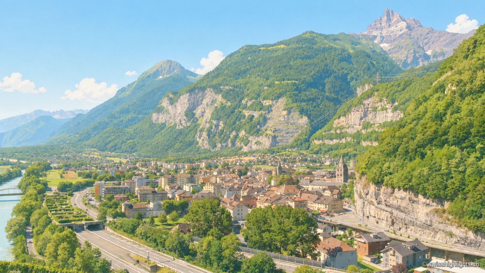
Saint-Maurice
A stage on the Via Francigena recorded as early as 990, locked by the Château des Gouverneurs and its 12th-century bridge over the Rhône, the town burned down in 1693 before planting, first in Valais, a liberty tree in 1798.
Waterfall · Valais · 9 km as the crow flies
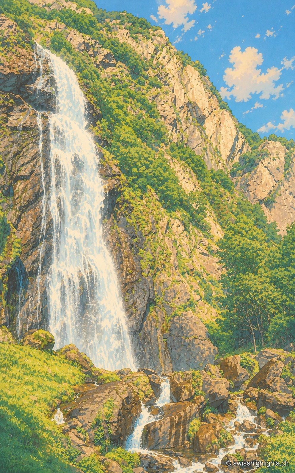
Cascade de la Pissevache
Looked at since the 17th century, it also turned mills; from 1866 a walkway took visitors under the water. The Salanfe dam, built from 1947 to 1950, has greatly reduced its flow.
Alpine gorge · Valais · 11 km as the crow flies
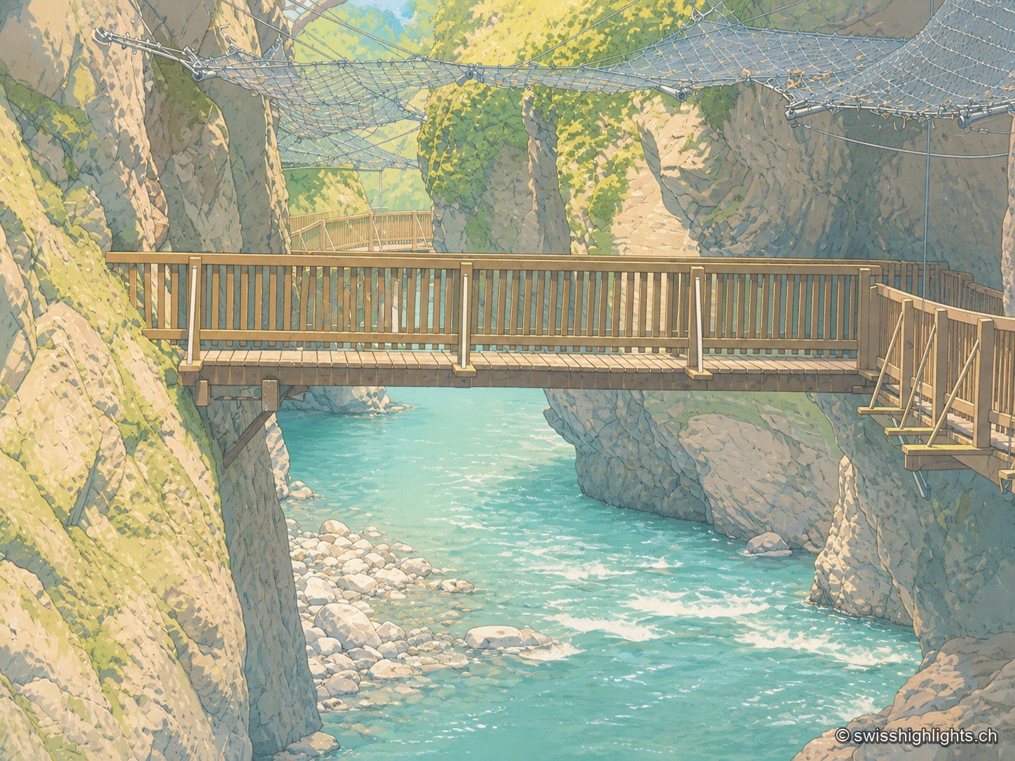
Gorges du Trient
Between the communes of Salvan, Vernayaz and Martigny, the Trient has carved a 2 km gorge through rock combining moraine deposits, amphibolite, limestone and schist; two bridges mark the trail that follows it to the Pissevache waterfall.