Alpine gorge · Valais
Gorges du Trient
A 2 km gorge between Salvan, Vernayaz and Martigny in Valais, followed by a marked trail as far as the Pissevache waterfall.
The Trient gorge lies between the communes of Salvan, Vernayaz and Martigny, in the west of the canton of Valais, along the course of the Trient. It runs 2,000 metres long over an area of 0.72 km², ranging in altitude from 459 to 1,122 metres.
The rock forming the gorge combines moraine deposits, amphibolite and a little Quaternary limestone, Carboniferous schist layers, as well as alluvium and scree from the external crystalline massifs.
A marked trail, suitable for all ages, follows the gorge from the commune of Salvan to the Pissevache waterfall, overlooking the Rhône valley; two bridges mark this route, whose crossing takes about twenty minutes.
Why this place is remarkable
Over just 2 km, the Trient has cut a gorge that crosses several distinct geological formations — moraine deposits, amphibolite and limestone, then Carboniferous schist — before reaching the Rhône valley near the Pissevache waterfall. Two footbridges allow this narrow, maintained route, suitable for all ages, to be followed between the communes of Salvan, Vernayaz and Martigny.
What to do and see
- Follow the waymarked path from Salvan to the Pissevache waterfall, overlooking the Rhône valley.
- Observe on this 2-kilometre route the successive geological formations: morainic deposits, amphibolite, limestone then Carboniferous schist.
- Cross the two bridges that punctuate the route, for a visit of about twenty minutes.
Coming with family: what to know
- The waymarked path along the gorges is described in the source as accessible to all ages.
As a couple
- Follow the narrow gorge that the Trient has carved over just 2 kilometres between Salvan, Vernayaz and Martigny.
- End the walk at the Pissevache waterfall, where it opens onto the Rhône valley.
- Cross together the two footbridges that punctuate the short route.
Location
Loads an interactive Google Maps view on demand, from the place's verified coordinates.
The embedded map will be enabled once an authorized Google Maps key is configured. Use the link above in the meantime.
The map could not load. Check your connection or use the link above to open the place in Google Maps.
Related places
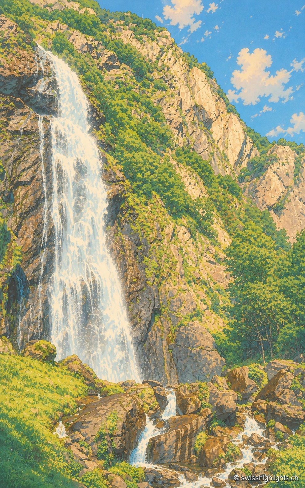
Waterfall · Valais · 2 km as the crow flies
Cascade de la Pissevache
Looked at since the 17th century, it also turned mills; from 1866 a walkway took visitors under the water. The Salanfe dam, built from 1947 to 1950, has greatly reduced its flow.
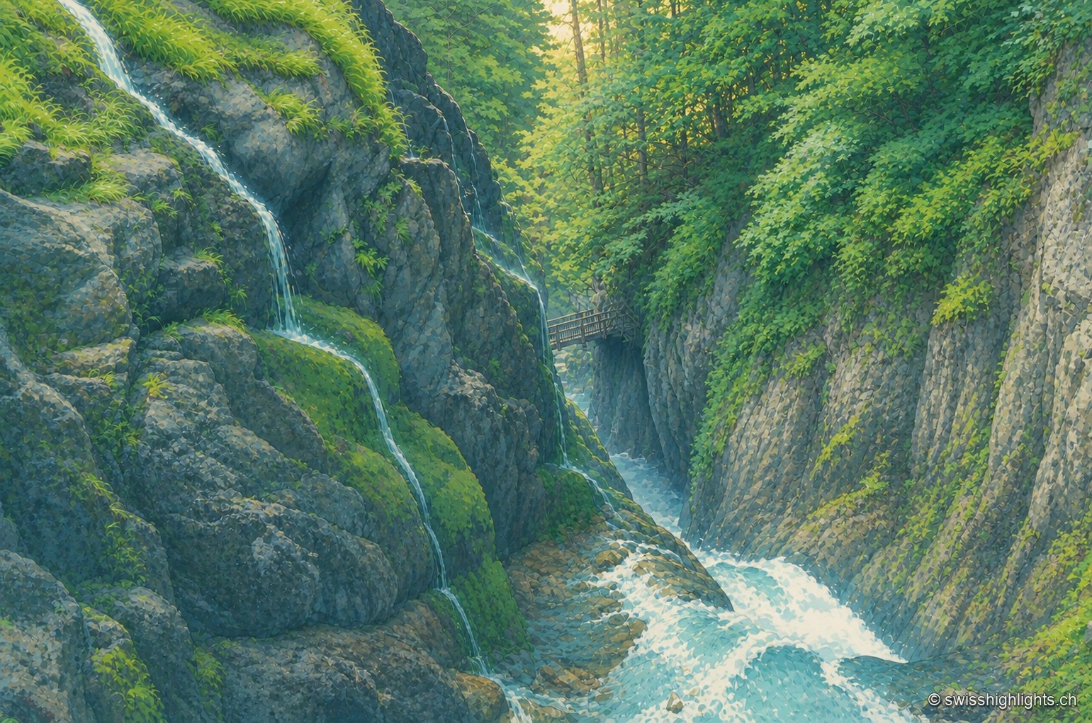
Alpine gorge · Bovernier, Valais · 8 km as the crow flies
Gorges du Durnand
Fed by the Arpette and Gurriaz glaciers, the Durnand cuts through the rock between the Pointe Ronde and the Catogne. A trail opened in 1877, renovated in 1987, follows its fourteen waterfalls near Martigny.
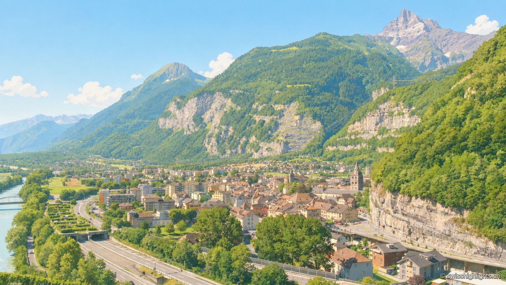
Lock on the Rhône · Valais · 10 km as the crow flies
Saint-Maurice
A stage on the Via Francigena recorded as early as 990, locked by the Château des Gouverneurs and its 12th-century bridge over the Rhône, the town burned down in 1693 before planting, first in Valais, a liberty tree in 1798.