Lock on the Rhône · Valais
Saint-Maurice
Between the Rhône and a cliff, Saint-Maurice has housed since 515 the West's oldest still-active monastery, founded on the Theban Legion martyrs' tomb.
Saint-Maurice is a Swiss municipality in the canton of Valais, capital of the district of the same name. Its territory covers 14.94 km², of which 45.6% is forest, 17.6% buildings and infrastructure, 16.2% agricultural land and 20.5% unproductive land, according to the 2013-2018 survey. The municipality merged on 1 January 2013 with its neighbour Mex, following a vote on 27 November 2011 approved by 88% in Saint-Maurice and 72% in Mex.
Inhabited since antiquity under the Roman name Agaune (Acaunum), the place takes its present name from the legendary massacre of the Theban Legion and its leader, Maurice, a Black soldier from Egypt. The Abbey of Saint-Maurice d'Agaune was founded there in 515 on the site of the martyrs' tomb: it is the oldest monastery in the West in continuous activity. Even before the 6th century, the Saint-Maurice pass was defended by a toll gate, backed by a round watchtower on the neighbouring rock to signal pilgrim convoys; in the 10th century, the town was the capital of Transjurane Burgundy. A stage on the Via Francigena to Rome, it is mentioned by Archbishop Sigeric in 990 under the name LI Sce Maurici, then by Nikulas of Munkathvera around 1154.
In 1349, a quarter of the Agaunese population died of the plague. From the summer of 1602, two Capuchin friars sent by Francis de Sales preached in the Valais Chablais to push back Protestantism; they first settled outside the walls in 1611, then built their convent inside the town from 1639, its church consecrated on 30 November 1656. On 23 February 1693, a great fire starting from the abbey destroyed the town. Saint-Maurice was the first Valais municipality to plant a liberty tree, on 28 January 1798, after the arrival on 2 January of the French chargé d'affaires Michel Ange Mangourit; Lower Valais, subject land of the Upper Valais Seven Tithings since 1475, where Saint-Maurice was the seat of the Upper Valais governor, then gained its independence.
At the end of 2024, the municipality had 4,623 inhabitants, for a density of 309 per km². The Château de Saint-Maurice, or Château des Gouverneurs, locks the plain together with the 12th-century medieval bridge crossing the Rhône to the Vaud bank; the chapel of Notre-Dame du Scex and the underground forts of Cindey and Scex complete this defensive ensemble. Residents, nicknamed Agaunois or Saints-Mauriards, are also called Peca-Porè — 'leek eaters' in Valais dialect. The municipality's coat of arms, attested on banners from 1434, bears a trefoil cross referencing Maurice d'Agaune.
Why this place is remarkable
Few Swiss towns hold such a constrained geography: the Rhône on one side, a sheer cliff on the other, and between the two, fifteen centuries of uninterrupted religious history since the abbey's founding in 515. The same defile that once guarded the passage — toll gate, watchtower, then the Château des Gouverneurs and its 12th-century bridge — explains why the town has always been an obligatory point of passage, from the medieval pilgrimage to Rome to today's motorway.
History and origin
The place's ancient name, Agaune (Acaunum), gave way to Saint-Maurice after the legendary massacre of the Theban Legion, whose leader Maurice gave his name to the town and to the abbey founded in 515. The municipality occupies a defile where the Rhône runs alongside a sheer cliff; this narrowness explains the presence, from before the 6th century, of a toll gate and a watchtower on the rock, before the Château des Gouverneurs and its 12th-century bridge took over that role.
What to do and see
- Visit the Abbey of Saint-Maurice d'Agaune, founded in 515 on the martyrs' tomb, the oldest monastery in the West still in uninterrupted operation.
- Observe the Château des Gouverneurs and the 12th-century medieval bridge that crosses the Rhône towards the Vaud bank.
- Spot the Notre-Dame du Scex chapel and the underground forts of Cindey and du Scex, which complete this defensive complex of the gorge.
- Picture the site, locked between the Rhône and the cliff, a mandatory crossing point since the medieval Via Francigena.
Coming with family: what to know
- The visit combines abbey, castle and bridge in a space squeezed between the Rhône and the cliff, with no further access detail in the available data.
As a couple
- Walk from the 12th-century bridge to the Château des Gouverneurs, along the gorge between the Rhône and the cliff.
- Take time in front of the abbey founded in 515, fifteen centuries of uninterrupted religious history.
- Search together for the trefoil cross on the town's coat of arms, documented on banners as early as 1434 in reference to Maurice of Agaunum.
Location
Loads an interactive Google Maps view on demand, from the place's verified coordinates.
The embedded map will be enabled once an authorized Google Maps key is configured. Use the link above in the meantime.
The map could not load. Check your connection or use the link above to open the place in Google Maps.
Related places
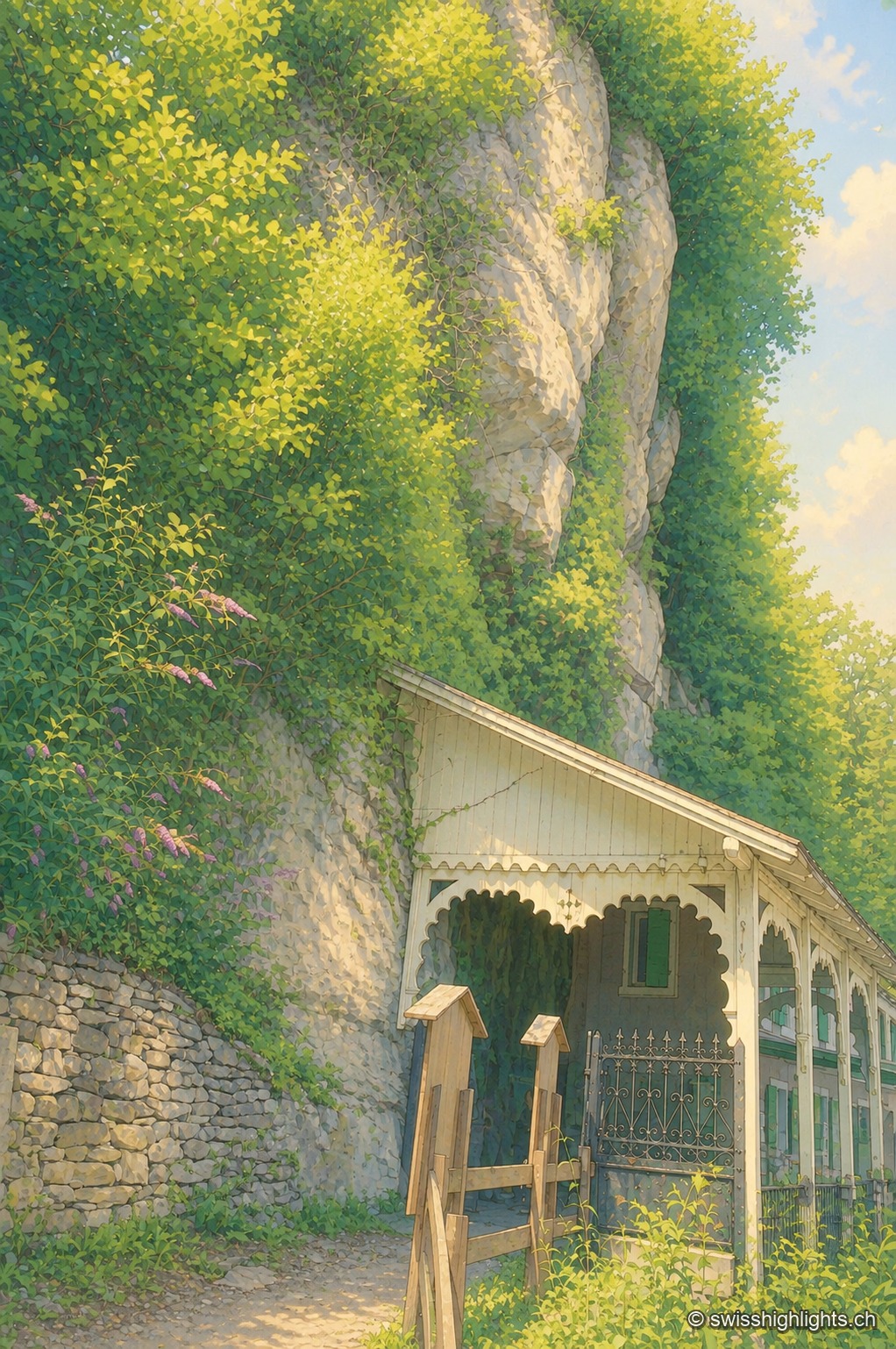
Show cave · Valais · 1 km as the crow flies
Grotte aux Fées
Opened to the public on 15 August 1864, the developed gallery follows the rock for 504 metres and ends beneath a 77-metre fall. Beyond it lies a network of 3,630 metres that the army extended between two Valais forts.
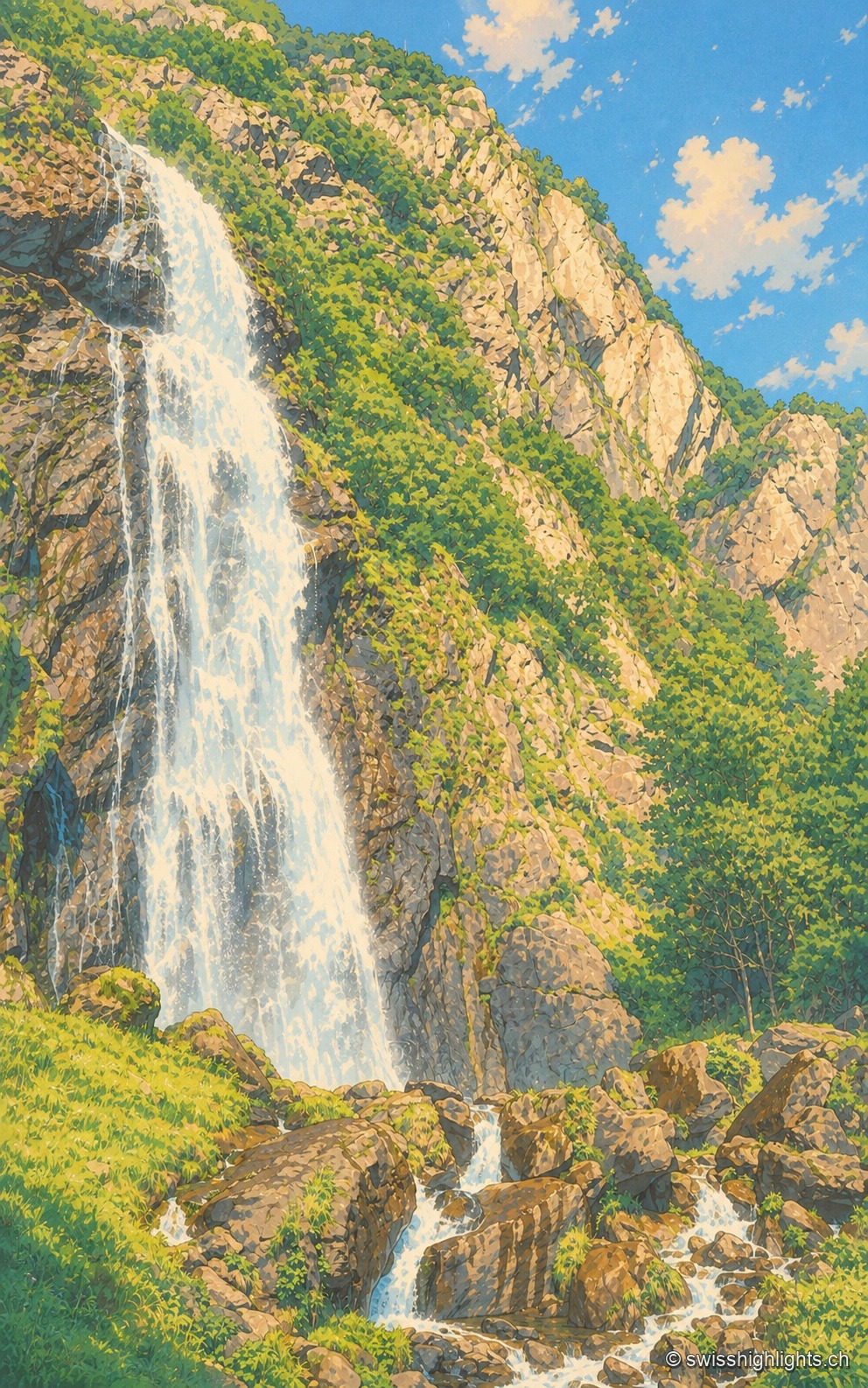
Waterfall · Valais · 9 km as the crow flies
Cascade de la Pissevache
Looked at since the 17th century, it also turned mills; from 1866 a walkway took visitors under the water. The Salanfe dam, built from 1947 to 1950, has greatly reduced its flow.
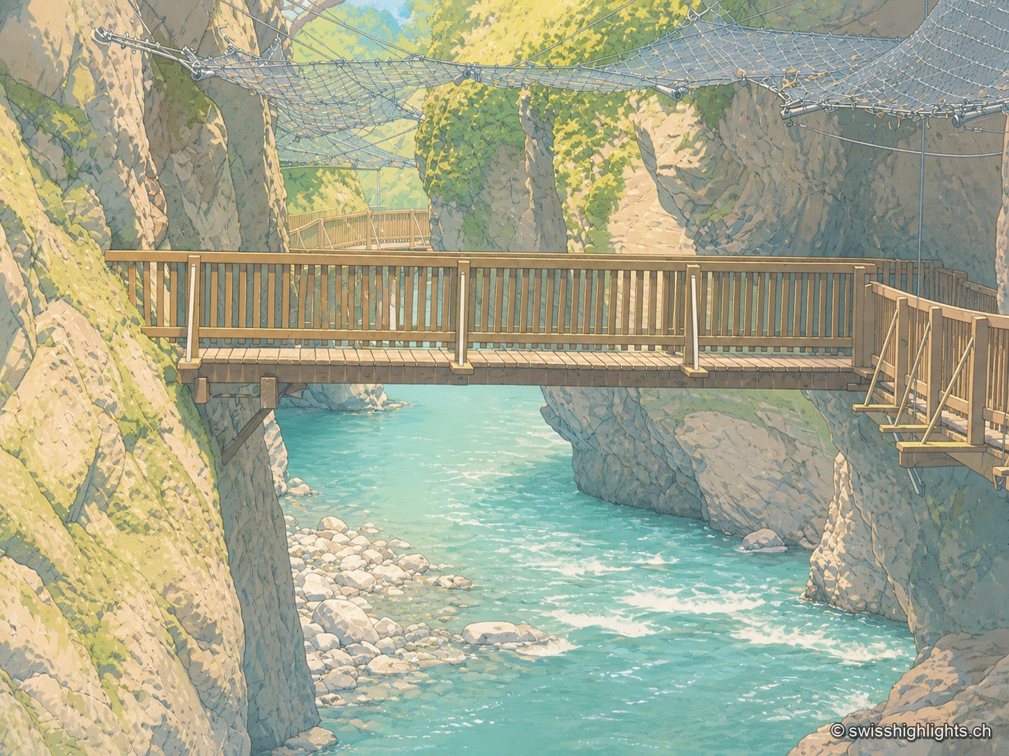
Alpine gorge · Valais · 10 km as the crow flies
Gorges du Trient
Between the communes of Salvan, Vernayaz and Martigny, the Trient has carved a 2 km gorge through rock combining moraine deposits, amphibolite, limestone and schist; two bridges mark the trail that follows it to the Pissevache waterfall.