Peak · Valais and Aosta Valley
Matterhorn
A pyramid of 4,478 metres standing on the Italian-Swiss border, between the Zermatt valley and the Valtournenche.
The Matterhorn rises to 4,478 metres on the Italian-Swiss border, where the canton of Valais meets the Aosta Valley. Zermatt lies at its foot to the north-east, Breuil-Cervinia on the southern side, and the Théodule pass leads from one side to the other in the east. It is not the highest mountain in its own neighbourhood: the Weisshorn, the Dom, the Liskamm and Monte Rosa all rise higher to the north. What sets it apart is its shape, not its altitude.
Its four faces meet about 400 metres below the top to form the summit pyramid that climbers call the roof. At the very top the ridge is barely two metres wide and carries two distinct high points at either end of a rock crest of 100 metres: the Swiss summit to the east, the Italian summit to the west, the latter at 4,476 metres. That crest is both the border and the watershed; a cross was set in the notch between the two summits in September 1901. The north face is one of the three great north faces of the Alps, with those of the Eiger and the Grandes Jorasses.
The mountain counted in the history of Alpine geology: Émile Argand studied it in the early twentieth century and used it to work out the concept of the thrust nappe. The great inclined walls of the northern side are cut in the orthogneiss of the Arolla group; the steeper summit pyramid belongs to a different set, alternating metapelites, amphibolites and marble — and it is marble that forms the very top. Its isolated outline also makes its own weather: in a north-westerly wind, air accelerating past the summit condenses into a long banner cloud on the Italian side.
Why this place is remarkable
Few mountains are recognised by outline alone. The Matterhorn is, because nothing props it up: four steep faces close into a pyramid, with no buttress or shoulder to soften the ridges, and the ground falls away on every side. That shape has made it the best-known mountain in Switzerland, borrowed even for company logos. It also explains its darker side: it is the Swiss summit with the highest recorded number of deaths among climbers.
History and origin
On 14 July 1865 a party of seven led by Edward Whymper reached the top by the Hörnli ridge, on the Swiss side. The descent turned to disaster: four of them were pulled off in a fall, the rope broke and spared the other three; the inquiry into that break ended without charges. Three days later, on 17 July 1865, a Valdostan party led by Jean-Antoine Carrel gained the summit by the harder Lion ridge, from the Italian side. The first ascent by a woman fell to Lucy Walker, on 22 July 1871, with the guide Melchior Anderegg. The French name comes from « mont Servin », which until 1855 meant the Théodule pass; the German Matterhorn joins Matt, meadow, and Horn, horn.
What to do and see
- Watch from Zermatt or Breuil-Cervinia the summit pyramid, where the four faces meet about 400 metres below the top.
- Spot the 100-metre ridge separating the two summits, Swiss to the east and Italian at 4,476 metres to the west, with the cross placed between them in 1901.
- Watch for the banner cloud that condenses on the Italian side around the summit in a north-west wind.
- Cross the Théodule Pass, which links the Swiss side to the Italian side.
Coming with family: what to know
- The ascent belongs to high mountaineering, not hiking: it is the Swiss summit where the greatest number of climber deaths is recorded.
As a couple
- Contemplate the isolated silhouette of the Matterhorn, recognisable by its outline alone among neighbouring, higher summits such as Monte Rosa.
- Picture the ascent of 14 July 1865, led by Edward Whymper up the Hörnli ridge, and its tragic ending.
- Tell each other about the first female ascent of the Matterhorn, achieved by Lucy Walker on 22 July 1871 with guide Melchior Anderegg.
- Look in the summit rock for the marble that forms the pyramid, distinct from the orthogneiss of the north face.
The climb is high mountaineering, not hiking: the Matterhorn is the Swiss summit with the highest recorded number of deaths among climbers.
Location
Loads an interactive Google Maps view on demand, from the place's verified coordinates.
The embedded map will be enabled once an authorized Google Maps key is configured. Use the link above in the meantime.
The map could not load. Check your connection or use the link above to open the place in Google Maps.
Related places
Summit · Valais · 7 km as the crow flies
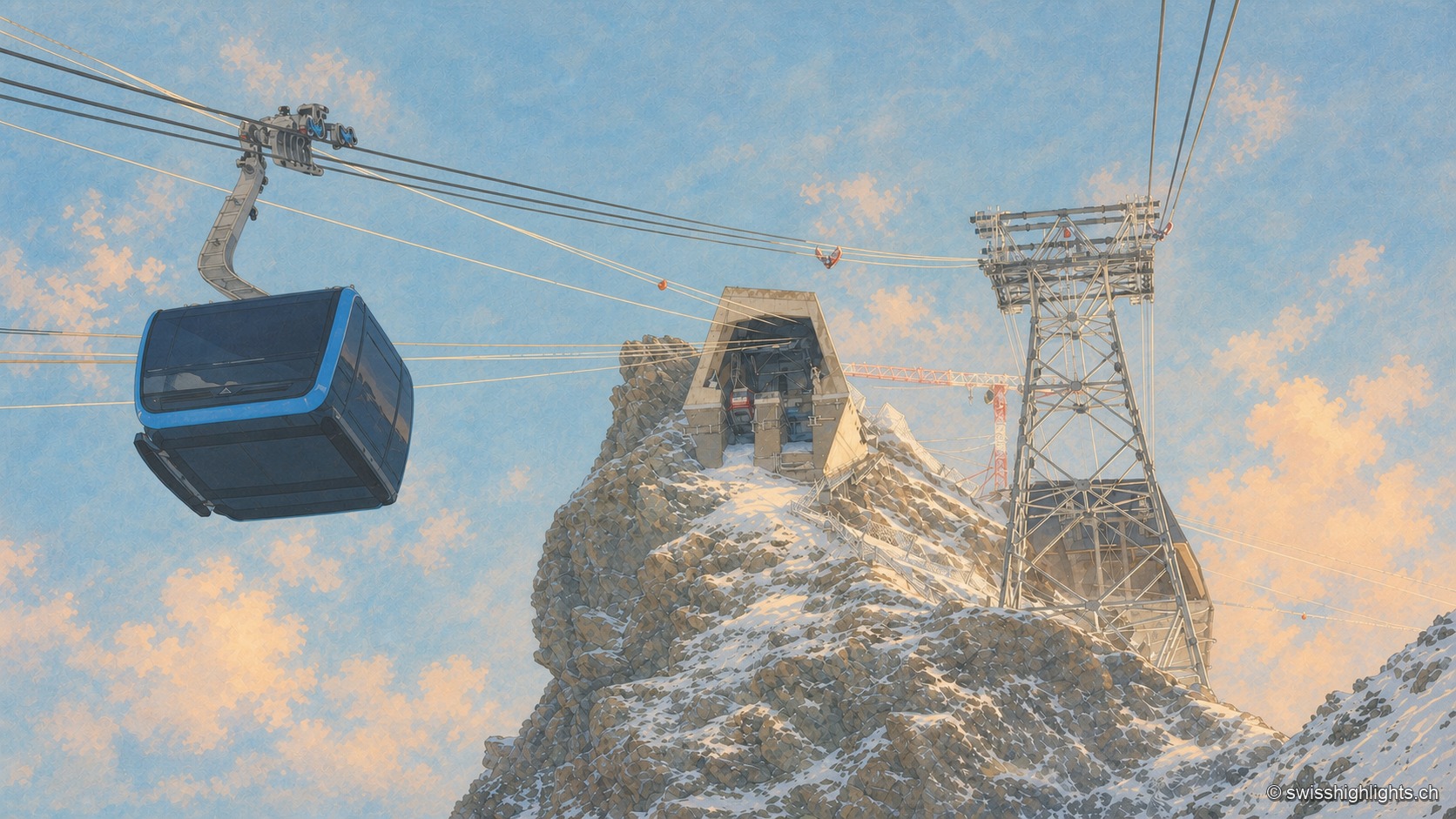
Klein Matterhorn
Surveys give it as 3,882 or 3,883 metres, a little over a kilometre from the Italian border. Its north face carries a cable-car station at 3,820 metres, from which a 160-metre tunnel runs through the mountain.
Mountain village · Valais · 8 km as the crow flies
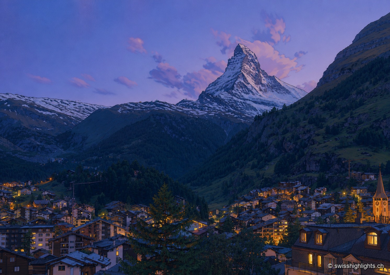
Zermatt
A village at 1,620 metres at the end of a valley closed off by ice. Cars have been kept out since the votes of 1972 and 1986, and 85.2% of the communal territory remains unproductive.
Summit ridge · Valais · 10 km as the crow flies
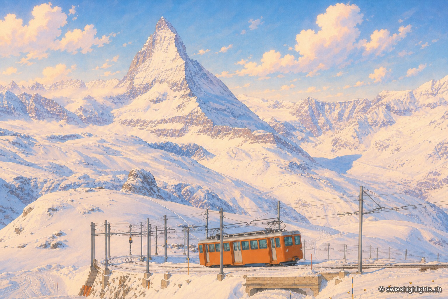
Gornergrat
From this ridge at 3,133 metres, more than twenty Alpine summits above 4,000 metres can be taken in at once. A rack railway has climbed here since 1898, and two hotel towers house observatories.