Summit · Valais
Klein Matterhorn
A peak in the Valais Alps at the head of the Zermatt valley, pierced by a tunnel and served by cable car since 1979.
The Klein Matterhorn, Petit Cervin in French, closes the Zermatt valley to the south, in the district of Visp. Surveys do not quite agree on its height: 3,882 metres in the reference article, 3,883 in the geographic database. The Italian border runs 1.3 kilometres away, the Breithorn towers over it to the east at 4,164 metres, and the Théodule pass separates it from the Matterhorn — the great neighbour it is not to be confused with, standing seven kilometres to the north-west.
On 23 December 1979 the opening of a cable car made the summit the highest point in Europe served by such a line. It runs 3,671 metres for a rise of 890 metres and spans 2,885 metres between two pylons; on the first stretch the cabins actually lose height before starting a climb that grows steeper and steeper towards the wall.
The upper station clings to the north face at 3,820 metres. A tunnel of about 160 metres crosses the mountain and comes out to the south on the Breithorn plateau glacier; halfway along, a lift and then an open-air staircase lead to the summit platform, where the view goes all the way round the horizon, over Switzerland, Italy and France. A second line, of the 3S type, entered service on 29 September 2018; its cabins were designed by Pininfarina.
Why this place is remarkable
You do not climb the Klein Matterhorn, you go through it: a cable, then a tunnel bored in the rock, a lift and an open-air staircase that comes out on the summit platform. Since 23 December 1979 no other point in Europe has been served so high by a cable car, and the ride takes you in a few minutes from the valley floor to 3,820 metres — a shortcut the body itself does not take.
History and origin
The written history of the summit is short. The first recognised ascent goes to the Geneva scholar Horace-Bénédict de Saussure in 1792; then one has to wait until 1979 for the cable to replace the rope and for the mountain to become an outing as much as a climb. In 2002, after the merger of the valley's lift companies, the summit installations took the name Matterhorn Glacier Paradise, under which the place is signposted today.
What to do and see
- Take the cable car inaugurated on 23 December 1979, whose line climbs 890 metres of elevation to the arrival station at 3820 metres.
- Cross the roughly 160-metre tunnel bored through the mountain, then take the lift and the open-air staircase leading to the summit platform.
- Enjoy a 360-degree view from the platform over Switzerland, Italy and France.
- Spot, from the summit, the neighbouring Breithorn at 4164 metres and the Théodule Pass separating the Klein Matterhorn from the Matterhorn.
Coming with family: what to know
- The ascent is brief and reaches 3820 metres all at once: headaches and other symptoms of altitude sickness frequently affect sensitive people.
- Beyond the installations begins high glacial mountain terrain; the routes leaving from the summit belong to mountaineering, with the equipment and experience that implies.
As a couple
- Make the cable-car journey together, whose first section first loses altitude before starting an increasingly steep climb toward the rock face.
- Stop halfway through the tunnel before reaching, via the open-air staircase, the summit platform.
- Take time for the 360-degree panorama over three countries from 3820 metres.
The ascent is short and takes you straight to 3,820 metres: headaches and other symptoms of altitude sickness are common in sensitive people.
Beyond the installations begins high glacier country: the routes that leave the summit are mountaineering, with the equipment and experience that implies.
Location
Loads an interactive Google Maps view on demand, from the place's verified coordinates.
The embedded map will be enabled once an authorized Google Maps key is configured. Use the link above in the meantime.
The map could not load. Check your connection or use the link above to open the place in Google Maps.
Related places
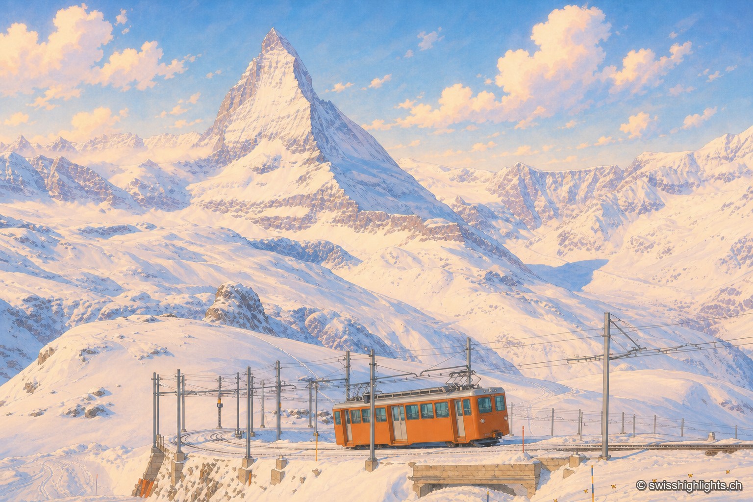
Summit ridge · Valais · 7 km as the crow flies
Gornergrat
From this ridge at 3,133 metres, more than twenty Alpine summits above 4,000 metres can be taken in at once. A rack railway has climbed here since 1898, and two hotel towers house observatories.
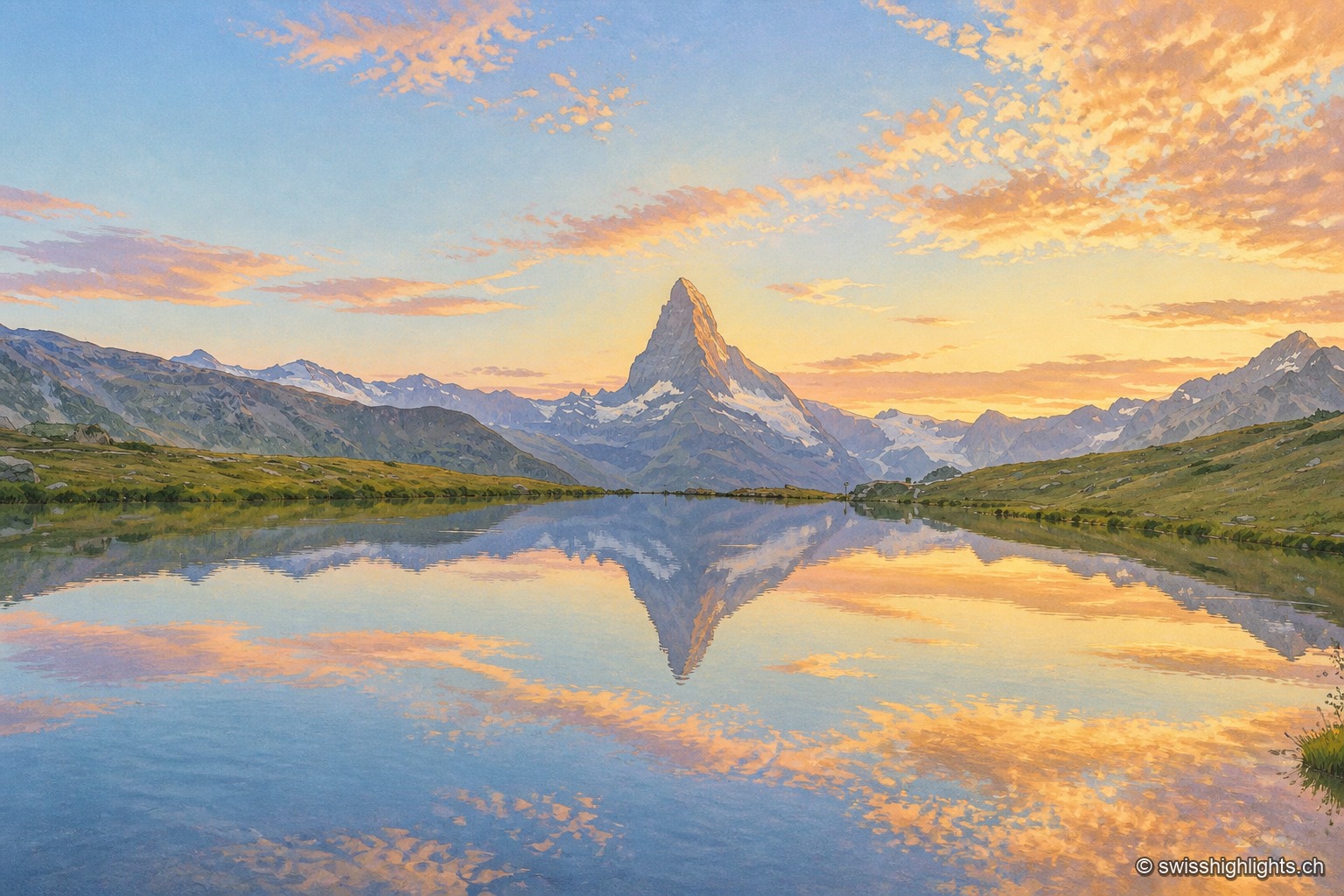
Peak · Valais and Aosta Valley · 7 km as the crow flies
Matterhorn
Four faces close 400 metres below the top. The summit ridge, 100 metres long, carries two summits and marks the border; the first ascent, in 1865, cost the lives of four of the seven men who made it.
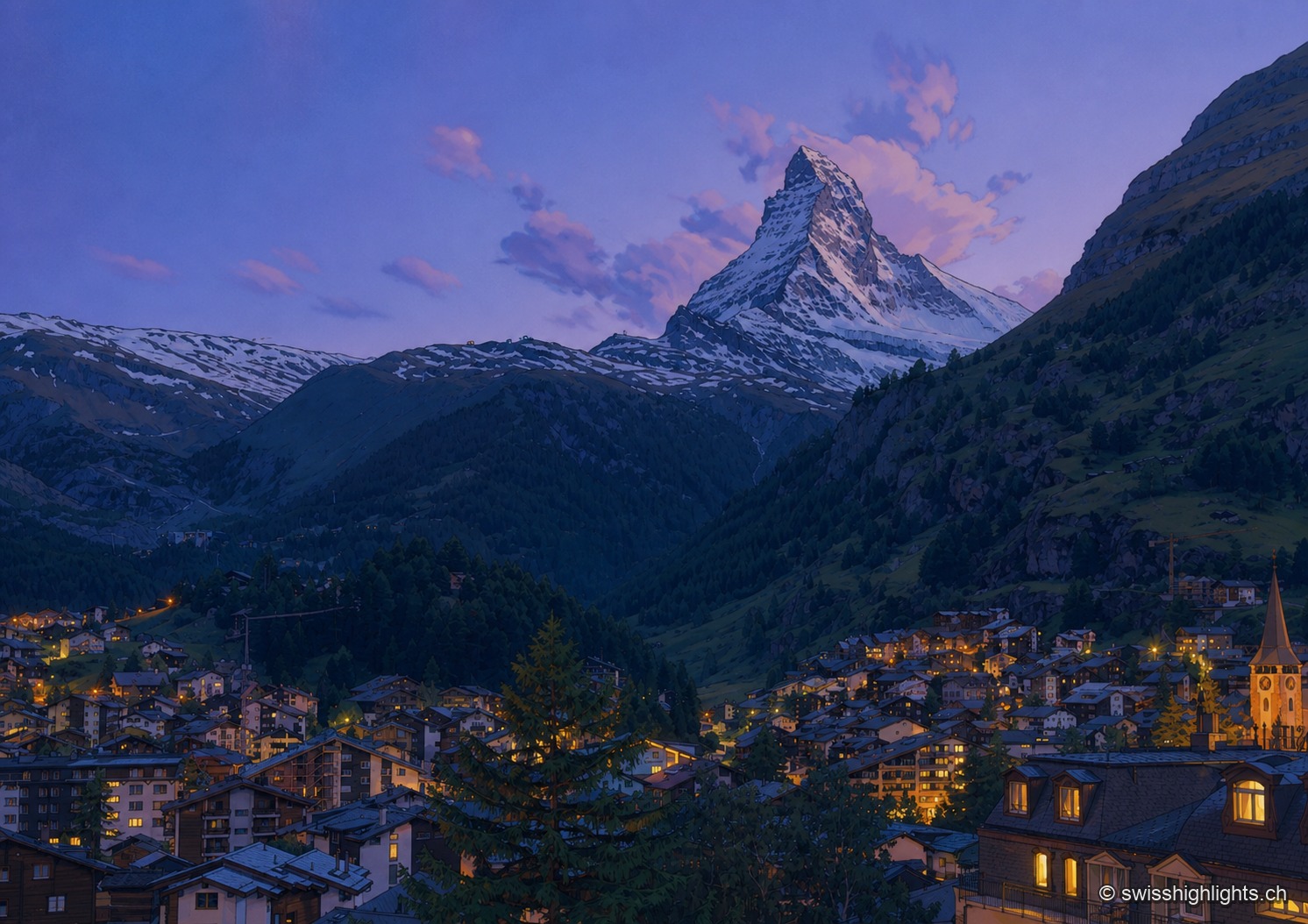
Mountain village · Valais · 9 km as the crow flies
Zermatt
A village at 1,620 metres at the end of a valley closed off by ice. Cars have been kept out since the votes of 1972 and 1986, and 85.2% of the communal territory remains unproductive.