Mountain village · Valais
Zermatt
At the head of the Mattertal, at 1,620 metres, a Valais commune closed to cars, below the pyramid of the Matterhorn.
Zermatt lies at the head of the Mattertal, in the German-speaking part of Valais, at 1,620 metres, and its territory reaches the Italian border. To the south the valley closes on the Matterhorn and its 4,478 metres. The immediate surroundings hold 38 of the 54 Swiss summits above 4,000 metres, among them Monte Rosa, the highest, at 4,634 metres; after the Aletsch glacier, the region carries the second largest expanse of ice in the Alps.
Cars do not enter the village. The ban protects air quality and, with it, the clarity of the view towards the Matterhorn; residents confirmed it by a vote in 1972 and again in 1986. The commune covers 242.69 square kilometres, the fourth largest in Switzerland, yet almost none of it is built on or farmed: 85.2% of that surface is classed as unproductive — rock, ice, scree. There were 6,099 inhabitants at the end of 2024, spread between the village and high hamlets that are not occupied all year.
The valley floor is as dry as it is cold. The annual mean is 3.5 °C, against 9.2 °C at Sion, 1,156 metres lower, and only 611 millimetres of precipitation fall each year: deeply incised, the valley stays sheltered. The forest, for its part, climbs high — its upper limit is close to 2,200 metres, one of the highest in central and southern Europe.
The name comes from the alpine meadows: zur Matte, “at the meadows”, became Zermatt, written that way as early as 1495 on a map. French long preferred Praborgne, modelled on the Latin Prato Borno, and the place appears in 1280 as Pratabornum. In 1618 the community bought its freedom from the lord it depended on.
Why this place is remarkable
Zermatt owes its character to two rare things brought together: an uncompromising geography — 85.2% of a territory of 242.69 square kilometres classed as unproductive, 38 summits above 4,000 metres in the vicinity, the second largest expanse of glacier ice in the Alps — and a collective decision, ratified twice at the ballot box, to keep cars out so that the air stays clear and the view onto the 4,478 metres of the Matterhorn stays open.
History and origin
Recorded in 1280 as Pratabornum, the place lived from farming until it bought its freedom from feudal lordship in 1618. The first ascent of the Matterhorn, in 1865, made it a centre of mountaineering, and the railway from Visp reached the village in 1891. The same history holds a darker episode: in 1963 an outbreak of typhoid fever infected at least 430 people and killed three; the communal authorities first tried to hush the affair up, 106 patients were airlifted out, and the crisis led in 1970 to a new federal epidemics law.
What to do and see
- Look for the view of the Matterhorn and its 4,478 metres, closing off the valley to the south.
- Walk through a village closed to cars since the votes of 1972 and 1986.
- Place the site among 38 of Switzerland's 54 peaks over 4,000 metres, including Monte Rosa at 4,634 metres.
- Take the measure of the Alps' second largest glacial expanse, after that of Aletsch.
Coming with family: what to know
- The village is closed to cars, which limits traffic in the streets of the centre.
- The municipal territory is 85.2% unproductive land (rock, ice, scree), with high-altitude hamlets not occupied year-round.
As a couple
- Look for the view of the Matterhorn from a car-free village, protected by two popular votes.
- Wander in the dry air of the sheltered valley, with a forest that rises to 2,200 metres.
- Take time facing the 38 peaks over 4,000 metres that surround the village.
Location
Loads an interactive Google Maps view on demand, from the place's verified coordinates.
The embedded map will be enabled once an authorized Google Maps key is configured. Use the link above in the meantime.
The map could not load. Check your connection or use the link above to open the place in Google Maps.
Related places
Summit ridge · Valais · 5 km as the crow flies
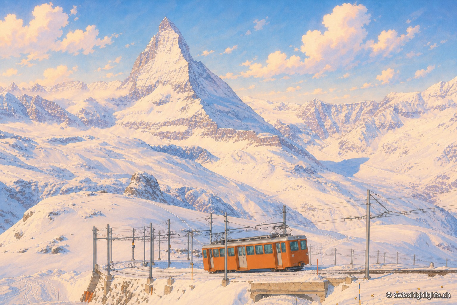
Gornergrat
From this ridge at 3,133 metres, more than twenty Alpine summits above 4,000 metres can be taken in at once. A rack railway has climbed here since 1898, and two hotel towers house observatories.
Peak · Valais and Aosta Valley · 8 km as the crow flies
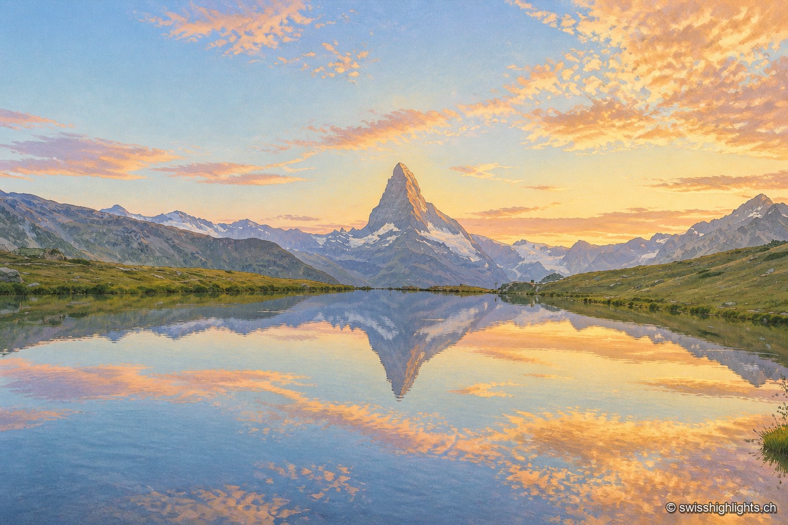
Matterhorn
Four faces close 400 metres below the top. The summit ridge, 100 metres long, carries two summits and marks the border; the first ascent, in 1865, cost the lives of four of the seven men who made it.
Summit · Valais · 9 km as the crow flies
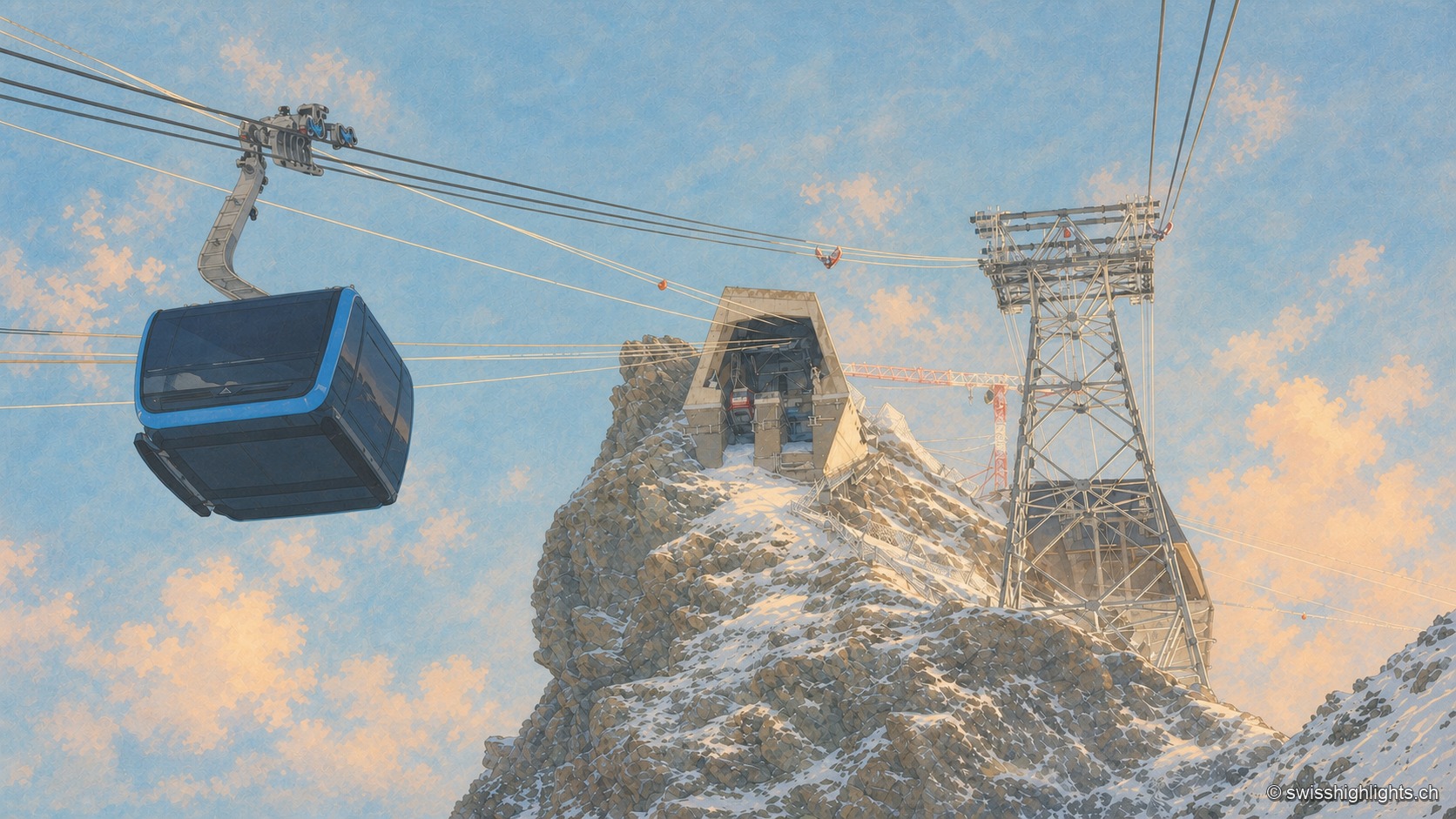
Klein Matterhorn
Surveys give it as 3,882 or 3,883 metres, a little over a kilometre from the Italian border. Its north face carries a cable-car station at 3,820 metres, from which a 160-metre tunnel runs through the mountain.