Summit ridge · Valais
Gornergrat
A ridge at 3,133 metres above Zermatt, between the Gorner and Findel glaciers, terminus of a rack railway opened in 1898.
The Gornergrat is a summit ridge in Valais, four kilometres south-east of Zermatt, which separates the Gorner glacier from the Findel glacier and reaches 3,133 metres. From the crest, more than twenty Alpine summits above 4,000 metres can be taken in at a single glance, among them Monte Rosa, the Matterhorn, the Breithorn and the Liskamm.
The way up is the Gornergratbahn, a rack railway opened in 1898, which serves Riffelalp and Riffelberg and gains close to 1,500 metres from the valley floor. A refuge hotel stands at 3,089 metres, south-west of the terminus station. From 1958 to 2007 a two-section cable car linked the ridge to the neighbouring Stockhorn by way of the Hohtälli.
The two towers of that hotel are not ornament: since the late 1960s they have housed observatories belonging to the high-altitude research station Jungfraujoch and Gornergrat. The one-metre telescope of the Lyon observatory worked here from 1976 to 1983; a one-and-a-half-metre infrared telescope occupied the north tower until 2005; the south tower holds a three-metre radio telescope. The University of Bern runs a passive laboratory here to measure solar neutrons, part of a European network of stations.
Why this place is remarkable
One crest gives two things of different natures: the simultaneous view of more than twenty summits above 4,000 metres and of the two glaciers that flank it, the Gorner and the Findel — and a permanent scientific observation post at 3,133 metres, where the hotel towers have held instruments since the late 1960s.
History and origin
The rack railway opened in 1898 and turned the ridge into a summit reached without climbing; the refuge hotel at 3,089 metres followed from it. Scientific use came later: from the late 1960s the two towers received observatories, among them the one-metre telescope of the Lyon observatory, active from 1976 to 1983, and an infrared telescope kept until 2005. The cable car link to the Stockhorn, for its part, ran from 1958 to 2007.
What to do and see
- Ride up on the Gornergratbahn, the rack railway opened in 1898, which serves Riffelalp and Riffelberg.
- Take in from the ridge, in a single glance, more than twenty peaks above 4,000 metres, including Monte Rosa, the Matterhorn, the Breithorn and the Liskamm.
- Observe the two glaciers bordering the ridge, the Gorner and the Findel.
- Spot the towers of the 3,089-metre hotel-refuge, which have housed observatories since the late 1960s.
Coming with family: what to know
- At 3,133 metres altitude, equipment must be adapted; access by train does not change the effects of altitude.
- The Gorner and Findel glaciers bordering the ridge are the domain of high-mountain touring, not a walk from the station.
As a couple
- Enjoy from the ridge a simultaneous view of more than twenty alpine peaks above 4,000 metres.
- Ride up peacefully by rack railway to 3,133 metres, without any climbing effort.
- Observe the two glaciers, the Gorner and the Findel, bordering the summit.
Arriving by train does not change the nature of the place: at 3,133 metres the altitude is felt, and clothing and equipment have to match it.
The Gorner and the Findel, which flank the ridge, are glaciers; setting foot on them is high-mountain work, not a walk from the station.
Location
Loads an interactive Google Maps view on demand, from the place's verified coordinates.
The embedded map will be enabled once an authorized Google Maps key is configured. Use the link above in the meantime.
The map could not load. Check your connection or use the link above to open the place in Google Maps.
Related places
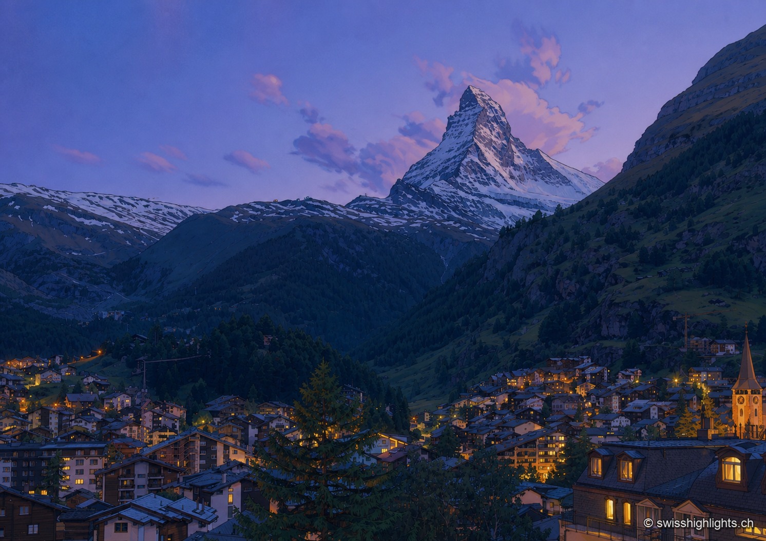
Mountain village · Valais · 5 km as the crow flies
Zermatt
A village at 1,620 metres at the end of a valley closed off by ice. Cars have been kept out since the votes of 1972 and 1986, and 85.2% of the communal territory remains unproductive.
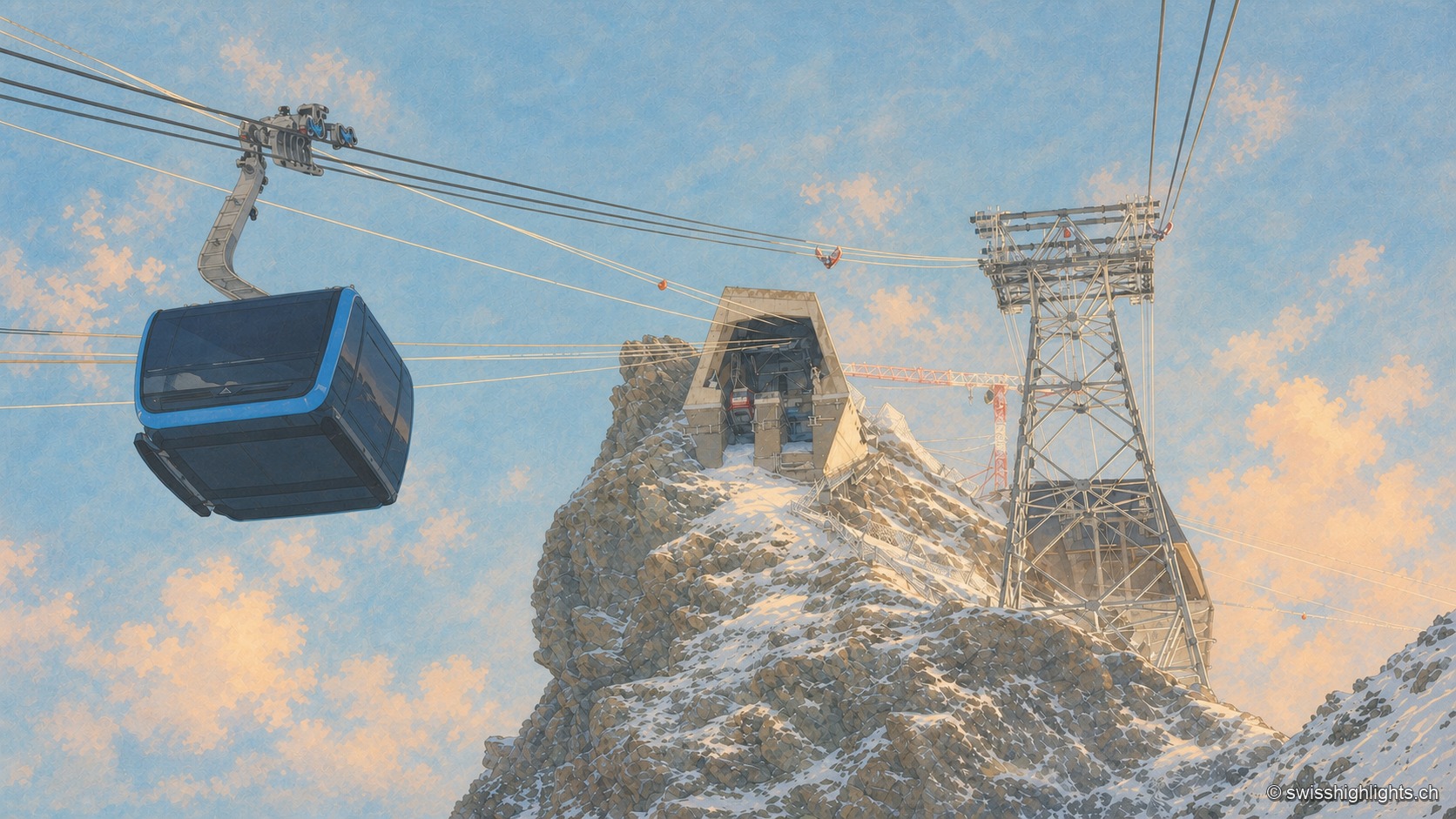
Summit · Valais · 7 km as the crow flies
Klein Matterhorn
Surveys give it as 3,882 or 3,883 metres, a little over a kilometre from the Italian border. Its north face carries a cable-car station at 3,820 metres, from which a 160-metre tunnel runs through the mountain.
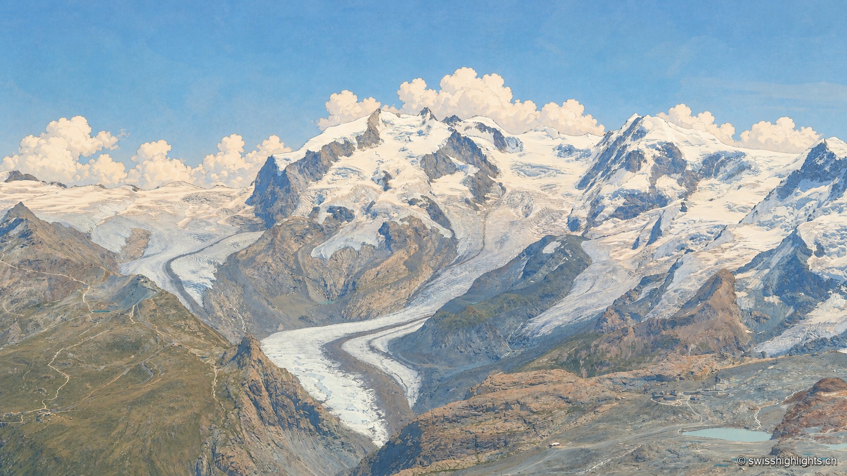
Switzerland's highest summit · Valais · 8 km as the crow flies
Dufourspitze
Named in 1863 for Guillaume Henri Dufour, first climbed on 1 August 1855 by a British party guided by two men from Zermatt, it is Europe's ninth-highest summit, 130 m from the highest point of the Italian-Swiss border.