Mountain village · Valais
Champéry
At the head of the Val d'Illiez, a village set on a flysch terrace at about 1,050 metres, below the wall of the Dents du Midi.
Champéry lies on the left bank of the Vièze, on a flysch terrace known as the plateau de la Fin, west of the Dents du Midi and east of the pointe de Chésery, 12 km south-west of Monthey. The commune covers 38.88 km², but most of that surface stands on end: the 2013-2018 survey counts 36.3% woodland, 30.8% farmland, 28.9% unproductive ground — rock and scree — and only 4.0% buildings and infrastructure.
The bell tower is the most singular thing in the village. It belongs to the baroque church built in 1725, which replaced a chapel dedicated to Theodore of Octodurum raised in 1436. It ends neither in a roof nor in a spire: a balustrade carries four openwork stone arches that meet under a lantern and draw a closed crown. Its carillon holds eight bells — four from 1725, one from 1842, three from 1996 — and the tower has been listed as Swiss heritage since 1974. The present church, dedicated to Saint Theodulus, took the place of the old one.
Tourism came early: the Hôtel de la Dent-du-Midi opened in 1857, and in 1969 Champéry took part in creating the Portes du Soleil ski area, which straddles the French-Swiss border. The name is older than any of that: the first written mention, in the form champeirie, dates from 1180 and comes from a Latin personal name, campărĭus — the field warden — with a Celtic suffix. In the Valais dialect the village is called Tsanpirey. On 31 December 2024, 1,404 people lived here, 36 inhabitants per square kilometre; in 2023, 39.6% of them were over 60, against 27.5% in the canton as a whole.
Why this place is remarkable
A bell tower that refuses the spire: at Champéry the tower of 1725 ends on a balustrade from which four openwork stone arches rise and meet under a lantern, drawing a closed crown rather than a point. The village itself holds on to a narrow flysch terrace while 28.9% of its territory is neither farmed nor wooded: that is the measure of the wall of the Dents du Midi above it.
History and origin
The village sits on the plateau de la Fin, a terrace of flysch — sedimentary rock laid down and then carried along in the building of the Alps — on the left bank of the Vièze. The built history reads in three stages: a chapel in 1436, the baroque church and its tower in 1725, a new church in 1897; of the first ensemble only the tower came through, listed in 1974.
What to do and see
- Watch the 1725 bell tower, which ends in a balustrade and four openwork stone arches gathered under a lantern rather than a spire.
- Listen to the carillon of eight bells, four from 1725, one from 1842, three from 1996.
- Stroll on the Fin plateau, a flysch terrace facing the Dents du Midi and the Pointe de Chésery.
Coming with family: what to know
- 28.9% of the municipal territory is unproductive land, rock and scree, beneath the wall of the Dents du Midi.
As a couple
- Walk on the left bank of the Vièze, at the foot of the wall of the Dents du Midi.
- Picture the Hôtel de la Dent-du-Midi, opened as early as 1857, the first sign of tourism in the village.
- As you stroll through the village, imagine its first mention in 1180, under the name champeirie.
Location
Loads an interactive Google Maps view on demand, from the place's verified coordinates.
The embedded map will be enabled once an authorized Google Maps key is configured. Use the link above in the meantime.
The map could not load. Check your connection or use the link above to open the place in Google Maps.
Related places
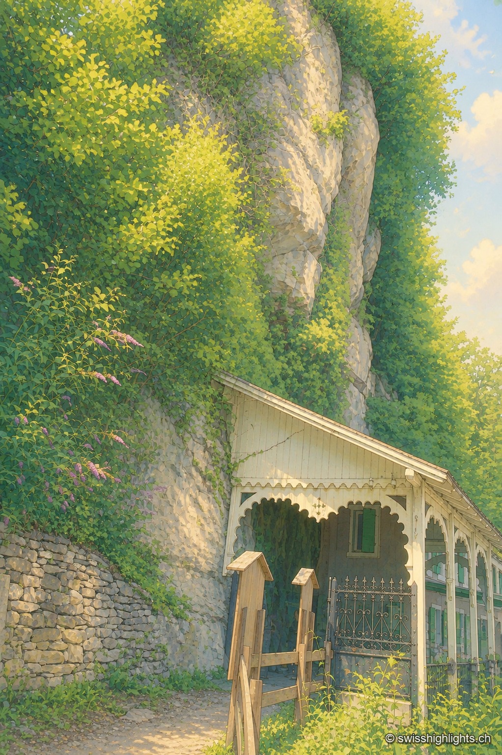
Show cave · Valais · 11 km as the crow flies
Grotte aux Fées
Opened to the public on 15 August 1864, the developed gallery follows the rock for 504 metres and ends beneath a 77-metre fall. Beyond it lies a network of 3,630 metres that the army extended between two Valais forts.
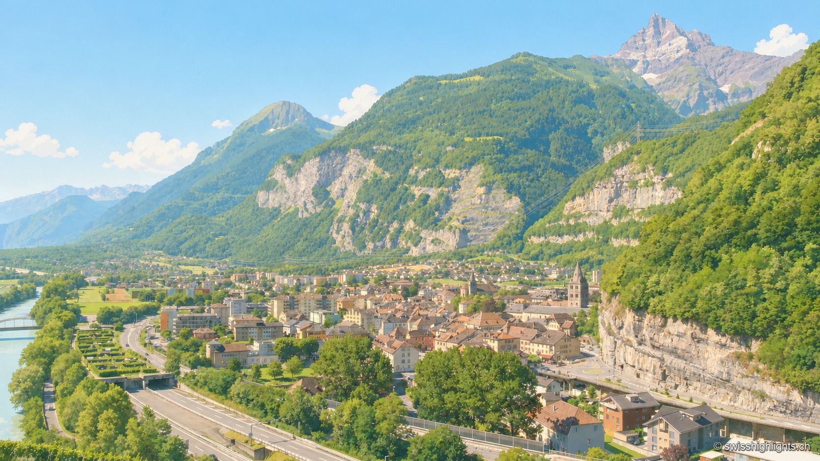
Lock on the Rhône · Valais · 11 km as the crow flies
Saint-Maurice
A stage on the Via Francigena recorded as early as 990, locked by the Château des Gouverneurs and its 12th-century bridge over the Rhône, the town burned down in 1693 before planting, first in Valais, a liberty tree in 1798.
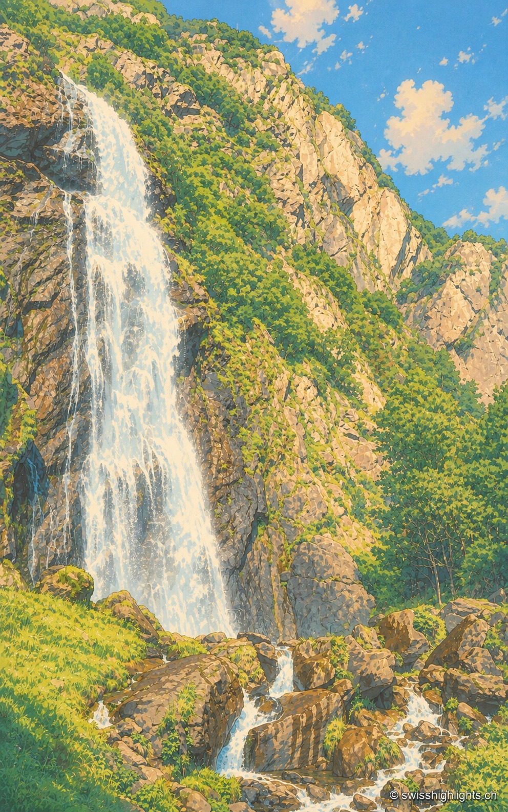
Waterfall · Valais · 12 km as the crow flies
Cascade de la Pissevache
Looked at since the 17th century, it also turned mills; from 1866 a walkway took visitors under the water. The Salanfe dam, built from 1947 to 1950, has greatly reduced its flow.