Planned small town · Schaffhausen
Neunkirch
A small town in the Schaffhausen Klettgau, rebuilt in the Middle Ages to a regular plan: a walled rectangle and four straight streets.
Neunkirch lies in the Klettgau, about 13 kilometres west of Schaffhausen, and its south-eastern boundary follows the border between Switzerland and Germany. The commune covers 17.92 square kilometres, of which 47.5% is farmland and 45% forest: the town takes up little room in the middle of open country, backed by the wooded ridges of the Randen.
What strikes here is the shape. At the end of the thirteenth century the place was destroyed — by fire or by troops, nobody knows — and then rebuilt to a single plan: a walled rectangle, four straight parallel streets, a ditch partly filled with water in front of the wall. That drawing can still be read in the old core. The town had been founded to serve as a centre, but Schaffhausen denied it the right to hold a market and the right to mint, and its growth stopped there.
The history of the name goes back further. Neunkirch first appears in a deed of gift to Rheinau Abbey, dated a Sunday 21 September in the reign of Louis the German; the year is not given. The 21st of September fell on a Sunday only in 850, 861, 867 and 872, and a commission settled on 850 in 1901 as the official date. The original form, Niuchilchun, means new church in Old High German; the spelling shifted for centuries before settling on Neunkirch, so as not to confuse the town with another Neukirch in the diocese of Constance.
Two reformed churches mark the place: the Stadtkirche, inside the old core, and the Bergkirche, on the height outside the walls. The castle, formerly the episcopal court and later the bailiffs' residence, houses the local museum, where two plague coffins from Siblingen are kept. The town hall dates from 1568. The station, on the High Rhine line between Schaffhausen and Basel, links the town to the rest of the canton.
Why this place is remarkable
The shape does everything. Few Swiss towns keep so clearly the plan they were given after a destruction: a rectangle, four straight streets, a wall doubled by a ditch. Commercial failure paradoxically helped — denied the right to hold a market and the right to mint by Schaffhausen, the town did not grow, and its medieval drawing was never covered over.
History and origin
In 1260 the bishop of Constance, Eberhard II von Waldburg, bought the high and low justice and two large farms from the lords of Krenkingen. In 1525 the heavily indebted bishopric sold the town to Schaffhausen for 8,500 guilders; from then on the city installed its bailiffs in the castle. The Thirty Years' War spared Neunkirch from fighting but not from plague, which carried off 300 people; in October 1633 the town narrowly escaped being plundered. Then came the concessions: the right to hold two markets a year in 1795, and, in February 1799, the meeting in the community house of the delegates of twenty-two Schaffhausen communes, who came to demand equality between town and country.
What to do and see
- Spot in the old core the rectangular layout, the four straight parallel streets, and the moat, partly filled with water, in front of the ramparts.
- See the town's two reformed churches, the Stadtkirche within the core and the Bergkirche on the height.
- Visit the local museum housed in the castle, once an episcopal court that became the bailiffs' residence, which keeps two plague coffins.
- Stop in front of the town hall, dated 1568.
Coming with family: what to know
- The town's regular layout, easy to follow on foot, lends itself to a short visit between the two churches and the castle-museum.
As a couple
- Follow the four straight streets of the medieval layout, restored after the destruction of the late 13th century.
- Walk along the moat, partly filled with water, that runs along the old ramparts.
- Go up to the Bergkirche, on the height, outside the town walls.
Location
Loads an interactive Google Maps view on demand, from the place's verified coordinates.
The embedded map will be enabled once an authorized Google Maps key is configured. Use the link above in the meantime.
The map could not load. Check your connection or use the link above to open the place in Google Maps.
Related places
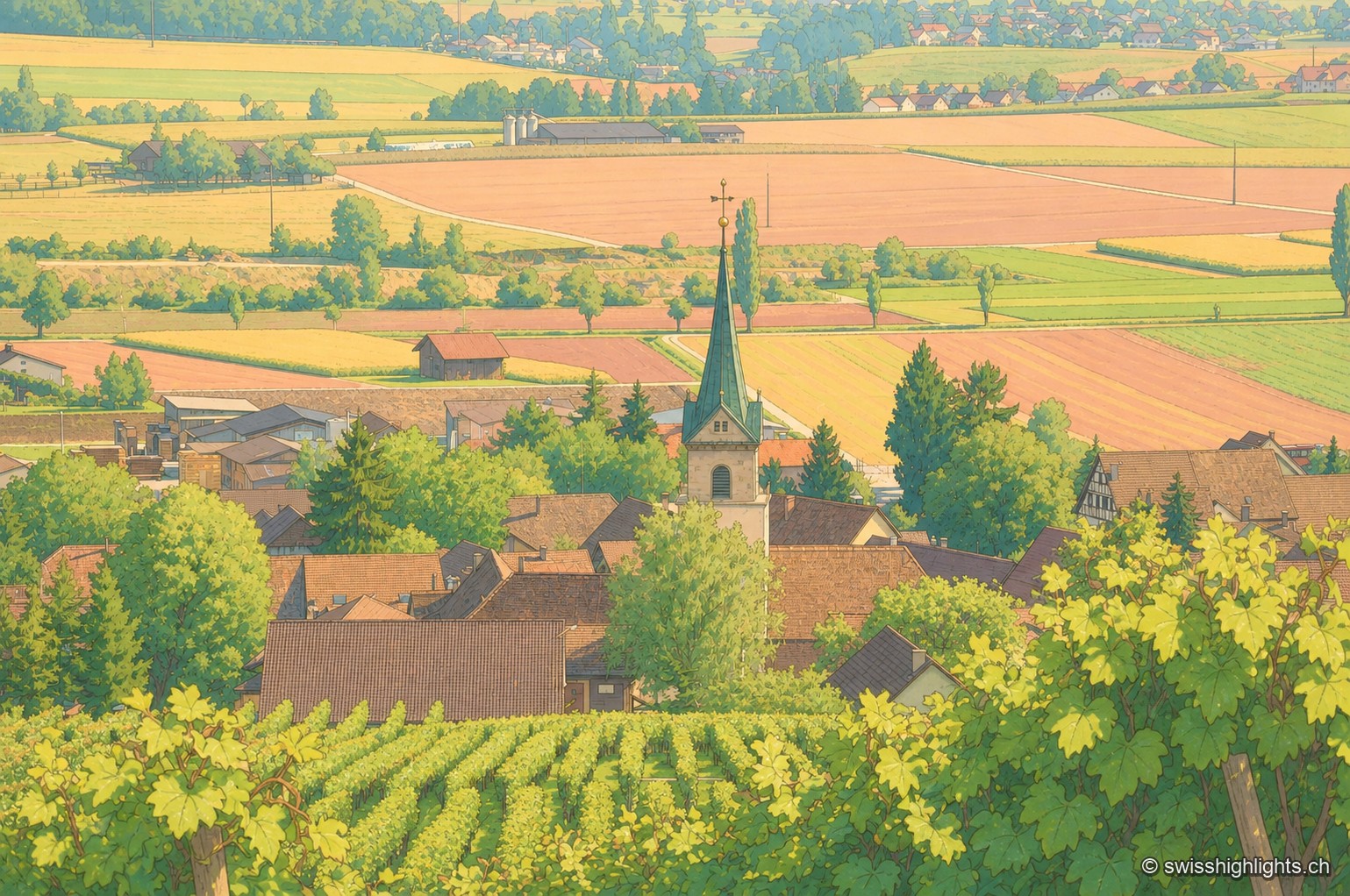
Wine village · Schaffhausen · 3 km as the crow flies
Hallau
Set at about 421 metres north of the Rhine, some fifteen kilometres from Schaffhausen, Hallau has lived from its vines since the thirteenth century. Encyclopedic sources call it the largest wine village of eastern Switzerland.
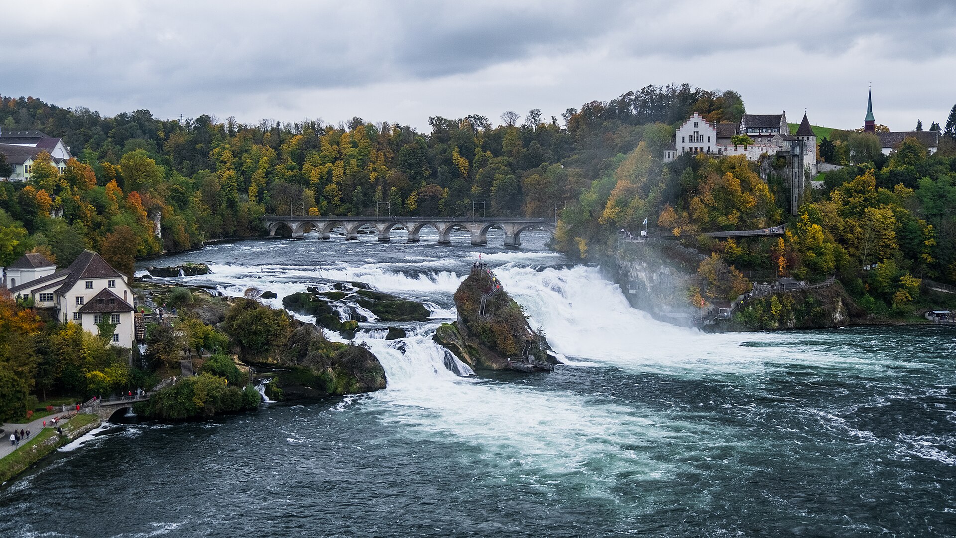
Waterfall · Schaffhausen · 9 km as the crow flies
Rhine Falls
A sheet of water 150 metres wide falls 23 metres over a sill of Malm limestone. As a summer average, the flow is close to 600 cubic metres per second.
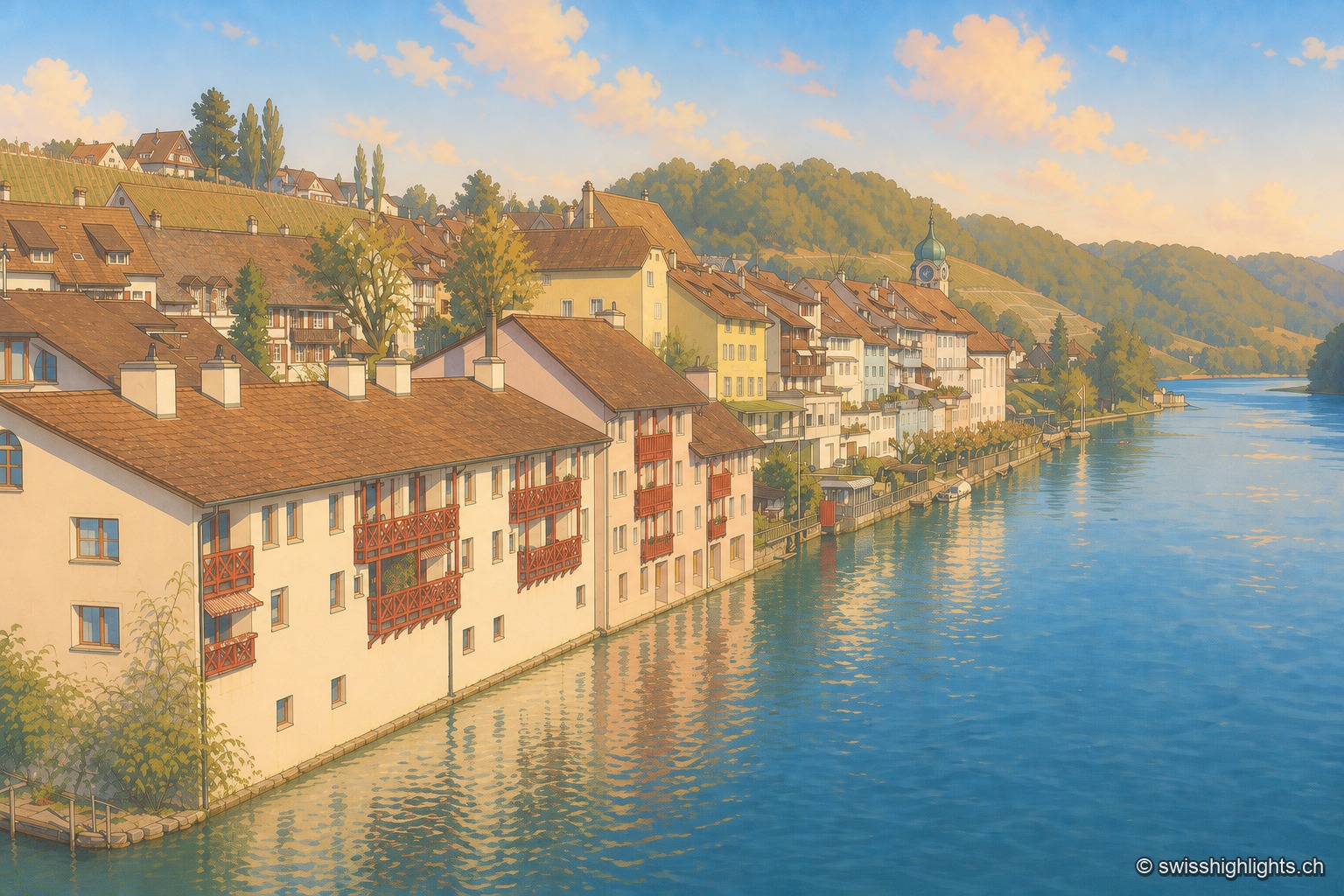
Rhine wine town · Zurich · 13 km as the crow flies
Eglisau
On the north bank of the Rhine, Eglisau lines its houses at the water's edge below vineyard slopes. The dam built between 1916 and 1920 raised the river by 8.5 metres, taking with it the old bridge and the houses along the bank.