Alps' highest year-round pass
Bernina Pass
At 2,328 metres, the Bernina Pass links Romansh-speaking Engadin to Italian-speaking Val Poschiavo: Switzerland's highest pass that stays open year-round.
The Bernina Pass, in the canton of Grisons, rises to 2,328 metres and links the Engadin to Val Poschiavo, towards Italy's Valtellina; it is the highest pass in Switzerland and the Alps that remains open all year. At its summit stand the Ospizio Bernina hospice and two lakes, the Lej Nair, which belongs to the Inn basin, and Lago Bianco, which belongs to the Po basin: the pass sits exactly on the watershed between the Black Sea and the Adriatic Sea. It also separates two languages and two cultures, Romansh-speaking Engadin and Italian-speaking Val Poschiavo. The carriage road, opened between 1842 and 1865, is 38 kilometres long with a 10% gradient.
The pass takes its name from an alpine pasture: in 1429 the commune of Bondo, in Val Bregaglia, bought a pasture called Alp da Buond, at Barnynia in valle Minori, and the pass linking that pasture to the Engadin took its name from it. From 1512, with the Grisons' conquest of Valtellina, the pass became the fastest route to Venice, with which the Grisons maintained ties of friendship; the earliest descriptions of the route date from this period. In 1526 a Venetian embassy crossed the pass on 25 and 26 December in very difficult conditions. After France opened a postal service between Chur and Aprica, eight accredited postal agents settled in 1548 at Pontresina, Poschiavo, Tirano and Aprica to keep relations between the French kingdom and Venice fast. Traffic declined after 1593, when the new San Marco road, linking Bergamo to Morbegno and on to the Splügen Pass, diverted much of the crossing traffic, though the Bernina Pass was not abandoned.
The Rhaetian Railway crosses the pass on a line built between 1908 and 1910; cable cars and ski lifts appeared along the road from the 1960s. Today the Bernina Express train links St Moritz to Val Poschiavo over the pass, with panoramic views of the whole Bernina range; a restaurant serves travellers and hikers at the summit, not far from the Diavolezza and Piz Lagalb cable cars, the latter open only in winter, and a trail leading to the Sassal Masone huts.
Why this place is remarkable
The Bernina Pass owes its singularity to a double position: the highest point in Switzerland kept open year-round on a carriage road, and the exact divide between two river basins, two languages and two cultures. Becoming the fastest route between Grisons and Venice from 1512, it carried postal and merchant traffic between the French kingdom and the Republic of Venice, before the Rhaetian Railway line, opened in 1910, made it one of the best-known scenic rail routes in the Alps.
History and origin
The pass sits exactly on the watershed between the Black Sea and the Adriatic Sea: its two summit lakes belong to opposite basins, the Lej Nair to the Inn's, Lago Bianco to the Po's. The pass's weather station recorded Switzerland's heaviest snowfalls over one- and two-day periods: 130 centimetres of fresh snow on 15 April, then 215 centimetres on 15 and 16 April 1999.
What to do and see
- At the summit, observe the two lakes that share the waters: Lej Nair toward the Inn basin, Lago Bianco toward the Po's.
- Visit the Ospizio Bernina, at the exact point where the road crosses the watershed between the Black Sea and the Adriatic.
- Ride or watch the Bernina Express, which links St. Moritz to Val Poschiavo with views of the Bernina range.
- Walk the trail to the Sassal Masone refuges, not far from the Diavolezza and Piz Lagalb cable cars.
Coming with family: what to know
- The pass tops out at 2,328 metres and stays open all year: a restaurant welcomes travellers and hikers at the summit.
As a couple
- Stand on the exact watershed between two basins, two languages and two cultures, Romansh-speaking Engadine and Italian-speaking Val Poschiavo.
- Take time for the panoramic railway journey on the Rhaetian Railway, opened between 1908 and 1910.
- Observe the contrast between Lej Nair and Lago Bianco, opposite in colour and in the basins they feed.
Location
Loads an interactive Google Maps view on demand, from the place's verified coordinates.
The embedded map will be enabled once an authorized Google Maps key is configured. Use the link above in the meantime.
The map could not load. Check your connection or use the link above to open the place in Google Maps.
Related places
Graubünden · UNESCO World Heritage · 1 km as the crow flies
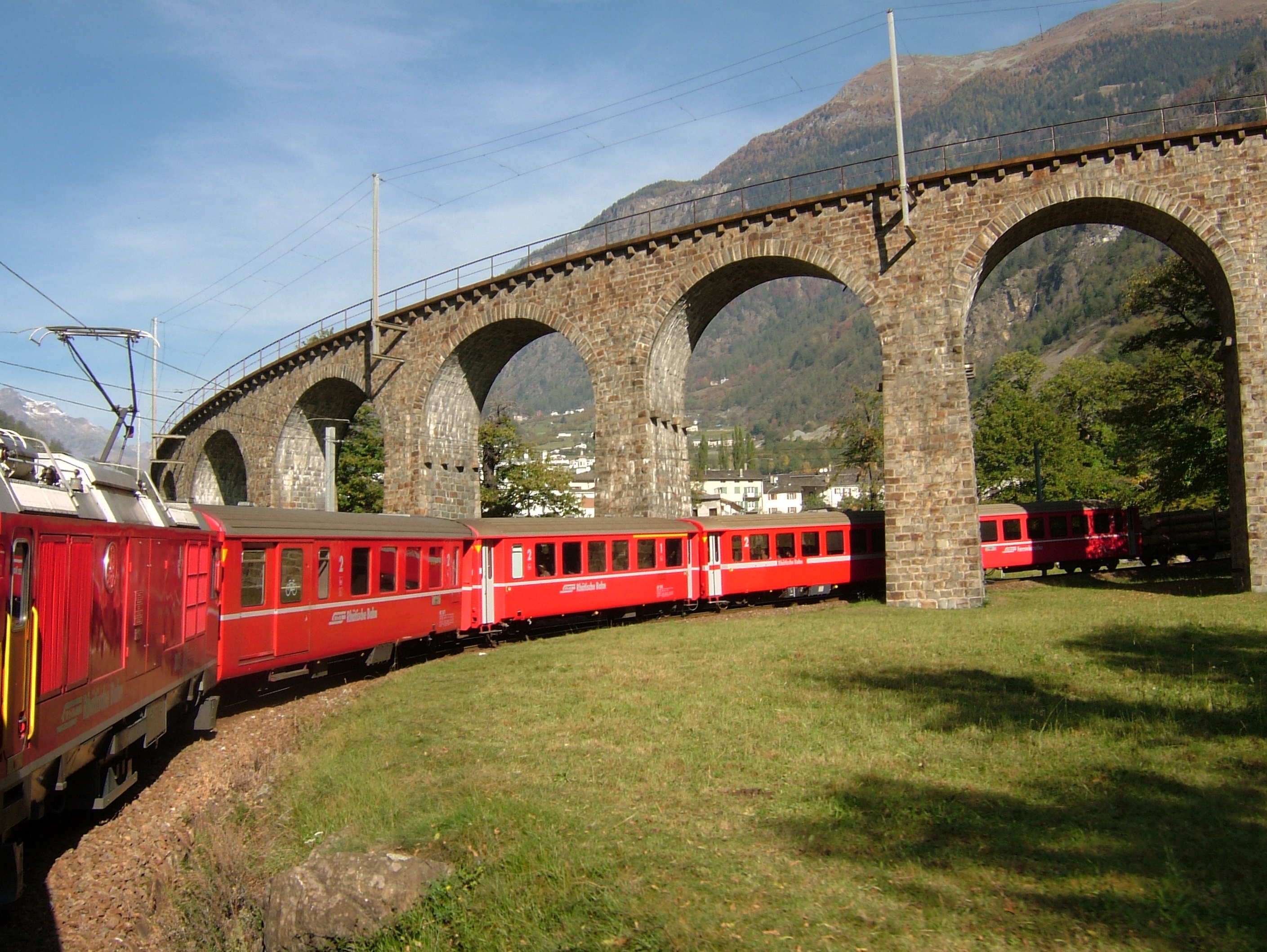
Bernina Railway
From St. Moritz to Tirano, 60.688 metre-gauge kilometres cross the Bernina Pass at 2,253 metres. No rack rail: adhesion alone, on gradients reaching 7%.
Italian-speaking town · Grisons · 9 km as the crow flies
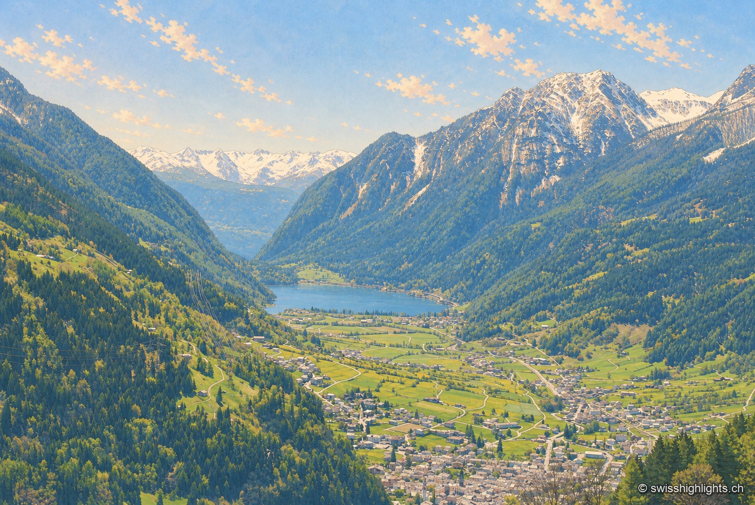
Poschiavo
South of the Alpine watershed, Poschiavo looks to Italy more than to Switzerland: a Gothic collegiate church on a Romanesque base, the tower of the former Milanese bailiffs, a street of houses built by emigrants who came home.
Village · Upper Engadine, Grisons · 20 km as the crow flies
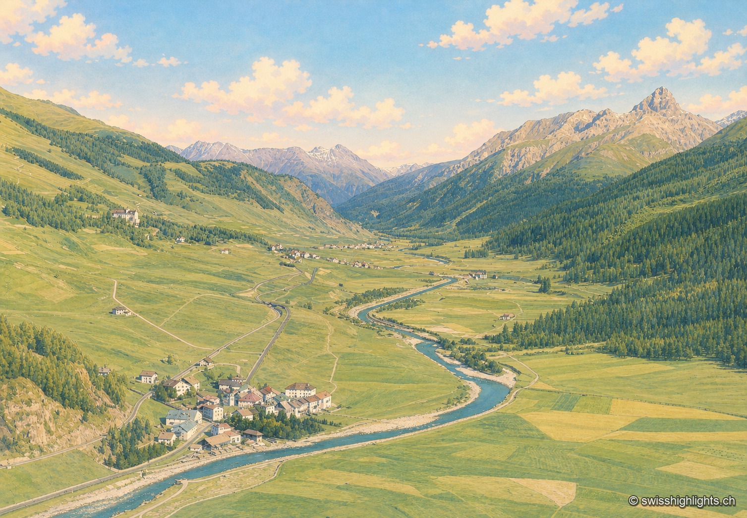
Madulain
First recorded in 1137-1139 as Madulene, the village is overlooked by the ruins of Guardaval Castle, built in 1251 for the Bishop of Chur. Madulain joined the Les Plus Beaux Villages de Suisse association in 2018.