Graubünden · UNESCO World Heritage
Bernina Railway
Sixty metre-gauge kilometres from St. Moritz to Tirano, over a pass at 2,253 metres and without a rack.
Sixty metre-gauge kilometres link St. Moritz to Tirano, in Italy, over the Bernina Pass. The train climbs without a break to Ospizio Bernina station, at 2,253 metres, then descends towards the south.
Nothing assists it: the line has no rack rail. Adhesion alone, on gradients reaching 7%, among the steepest in the world worked by an ordinary train.
At Brusio the track loops in the open air across a nine-arch viaduct, 142.80 metres long, which takes up ten metres of height on a radius of 70 metres. It was built in 1907 and 1908.
Opened in sections between 1908 and 1910 and electric from the start, the line was meant to run in summer only. Winter operation began in 1913-1914 and required many avalanche walls.
Why this place is remarkable
Together with the Albula line, the Bernina line has been a UNESCO World Heritage site since 7 July 2008 under criteria (ii) and (iv): 52 viaducts and bridges, 13 tunnels and galleries, a high-mountain alignment laid out without forcing the terrain.
History and origin
The line opened in sections from 1 July 1908 and in full on 5 July 1910. Traction was electric from the start, at 750 volts DC, raised to 1,000 volts in 1935. Run at first by an independent company, it passed to the Rhaetian Railway in the mid-1940s — in 1943 or 1945, depending on the source.
What to do and see
- Travel the sixty kilometers of narrow-gauge track between St. Moritz and Tirano, via the Bernina Pass.
- Spot the highest point of the journey, the Ospizio Bernina station, at 2,253 meters.
- Observe at Brusio the open-air spiral viaduct, nine arches over 142.80 meters, built in 1907-1908.
- Note the absence of a rack rail: the line climbs by adhesion alone, with gradients reaching 7%.
Coming with family: what to know
- At kilometer 58, the route crosses into Italy; the terminus, Tirano, is on Italian territory, which requires bringing the necessary documents.
As a couple
- The continuous climb up to the Bernina Pass, at 2,253 meters, without a rack rail.
- The Brusio spiral viaduct, to observe from the train or from the ground.
- The route listed as a UNESCO World Heritage Site since 2008 together with the Albula line, amid viaducts and high-mountain galleries.
- The arrival in Tirano, Italy, after the descent from the pass.
The route crosses the Swiss-Italian border at kilometre 58 and ends at Tirano, in Italy.
Location
Loads an interactive Google Maps view on demand, from the place's verified coordinates.
The embedded map will be enabled once an authorized Google Maps key is configured. Use the link above in the meantime.
The map could not load. Check your connection or use the link above to open the place in Google Maps.
Related places
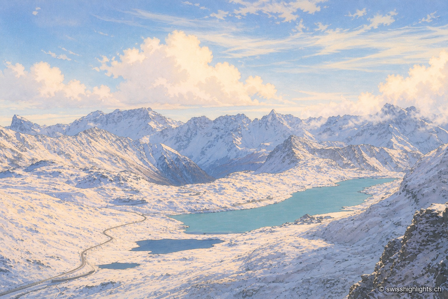
Alps' highest year-round pass · 1 km as the crow flies
Bernina Pass
Sitting on the watershed between the Black Sea and the Adriatic, the pass holds a hospice and two lakes, the Lej Nair and Lago Bianco. The road opened 1842-1865 (38 km); the Rhaetian Railway line was built in 1908-1910.
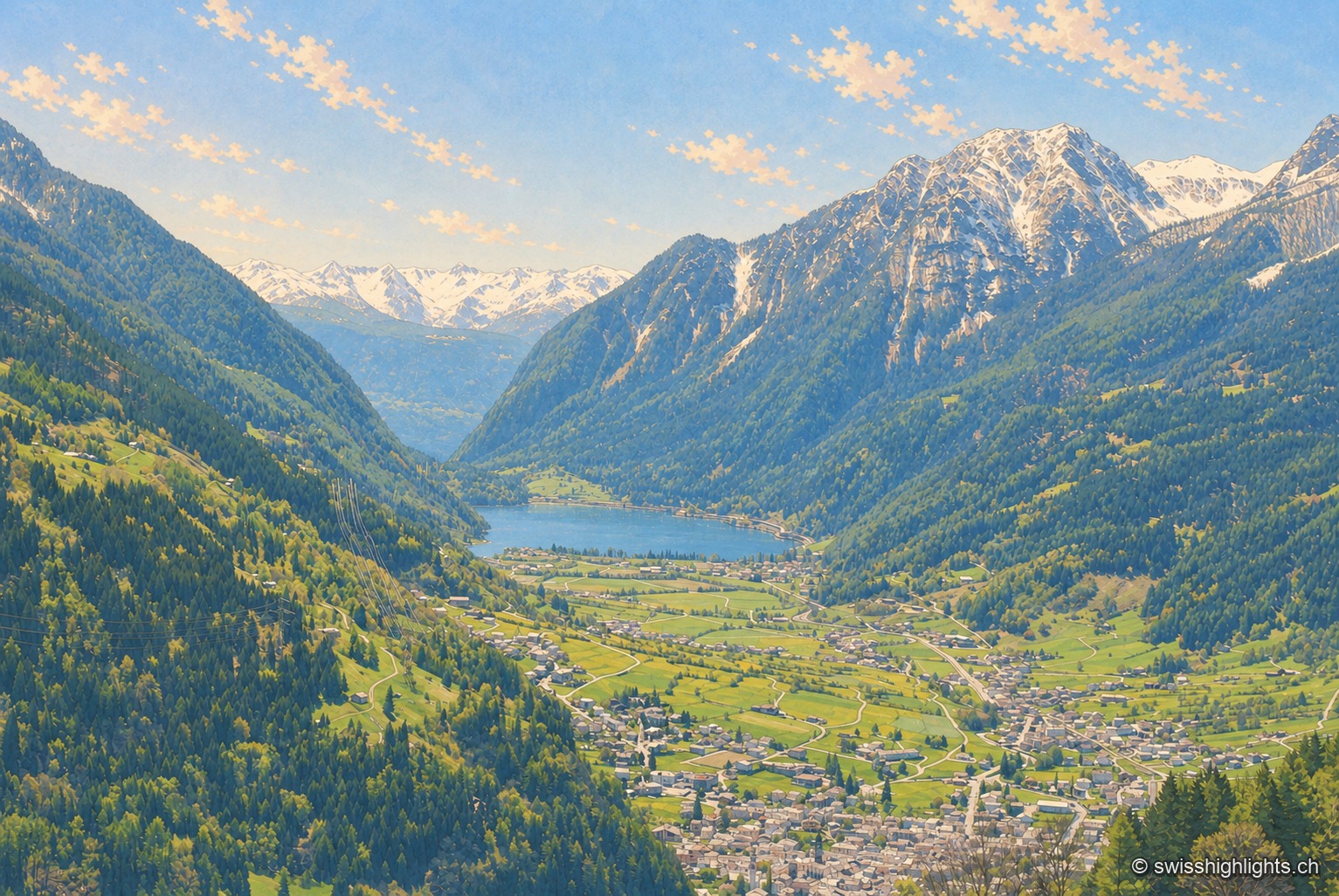
Italian-speaking town · Grisons · 9 km as the crow flies
Poschiavo
South of the Alpine watershed, Poschiavo looks to Italy more than to Switzerland: a Gothic collegiate church on a Romanesque base, the tower of the former Milanese bailiffs, a street of houses built by emigrants who came home.
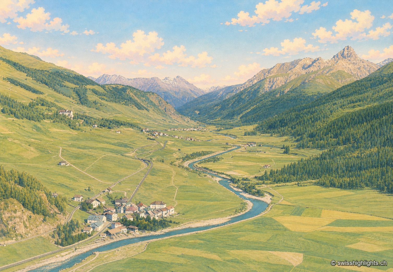
Village · Upper Engadine, Grisons · 20 km as the crow flies
Madulain
First recorded in 1137-1139 as Madulene, the village is overlooked by the ruins of Guardaval Castle, built in 1251 for the Bishop of Chur. Madulain joined the Les Plus Beaux Villages de Suisse association in 2018.