Road pass · Valais
Simplon Pass
At 2,006 metres between the Rhône and the Po basins, the pass whose road Napoleon had cut for his artillery.
The Simplon Pass separates the Valais Alps from the Lepontine Alps and tips you from one watershed into the other: to the north the Taferna runs down to the Saltina and joins the Rhône at Brig; to the south the Diveria flows towards the Toce, Lake Maggiore and the Po. The road crosses at 2,006 metres, slightly east of the orographic col, which lies at 1,996 metres. The ridge of the Hübschhorn, 3,191 metres, commands the crossing; the Spitzhorli, 2,736 metres, closes it to the north-west. Two lakes, the Rotelsee and the Hopschusee, occupy the shelf.
The crossing carried trade between the Upper Valais, the Ossola valley and Ticino long before the Roman Empire; in 196 Septimius Severus had the beginnings of a road laid out, one that barely passed the present border. In the Middle Ages the Simplon became, with the Gotthard, an axis between Savoy, Milan and the Holy Roman Empire: in 1267 the Bishop of Sion took the Italian merchants under his protection, and twelve hours were barely enough to get from one side to the other. In the middle of the 17th century Gaspard Stockalper, who held the salt monopoly, had a mule track opened and the old hospice built, in 1666; in 1640 he set up a postal service between Geneva and Milan by way of the Rhône valley and the pass.
The present road begins with a decree of 7 September 1800: Napoleon wanted to bring his artillery from Paris to Milan. The works ran from 1801 to 1805, employed 3,000 labourers, most of them Italian, and cost more than 8 million francs; the Gondo tunnel alone, 182 metres long, took fifteen months of continuous work. On 16 September 1805 the chief engineer wrote to the emperor that the Alps no longer existed. The road was inaugurated on 9 October, too late for Napoleon, who never crossed the pass; the hospice he had ordered on 21 February 1801 was only finished in 1835, by monks.
The railway then went under the mountain: 20 kilometres long and 1.6 kilometres beneath the Monte Leone at its deepest, the Simplon tunnel was inaugurated in June 1906 and remained the longest railway tunnel in the world until 1988. The road became passable year-round only from 1968, once avalanche shelters had been built along the most exposed stretches; the Ganter bridge, 678 metres long and 100 metres high, was built between 1978 and 1980. In 2010, 80,000 lorries crossed the pass. Beside the road stands the stone eagle by Erwin Friedrich Baumann, nine metres high, raised in 1944 in memory of the soldiers of Mountain Brigade 11.
Why this place is remarkable
The Simplon is not a pass that was found but one that was made: Stockalper's mule track in the 17th century, an artillery road opened between 1801 and 1805, a 20-kilometre railway tunnel in 1906, the Ganter bridge in 1980. Each century left its structure here, and the lorries climbing from Brig today carry on the work of the muleteers.
History and origin
The crossing was long held to be a military frontier. Fortifications were raised here in the 1830s and renovated in 1859; during both world wars Napoleon's hospice housed up to 600 troops watching over the southern border of Valais. The 19th-century Gondo fort became part of the National Redoubt before being decommissioned in 1995 and bought by the canton. It was over the Simplon too that Jorge Chávez first crossed the southern crest of the Alps by aeroplane, on 23 September 1910; he died four days later from injuries sustained on landing at Domodossola.
What to do and see
- Pass through the Gondo tunnel, 182 metres long, part of the Napoleonic road built between 1801 and 1805.
- Observe the Ganter bridge, 678 metres long and 100 metres high, built from 1978 to 1980.
- Spot Erwin Friedrich Baumann's stone eagle, nine metres tall, erected in 1944 beside the road.
- Follow the watershed at the summit, between the Taferna, which joins the Rhône, and the Diveria, which flows toward Lake Maggiore and the Po.
As a couple
- Follow the successive traces left by each century: Stockalper's mule track, Napoleon's artillery road, the Ganter bridge.
- Stop at the old hospice, ordered by Napoleon in 1801 and completed by monks in 1835.
- Observe, at the summit, the two lakes of the plateau, the Rotelsee and the Hopschusee, beneath the Hübschhorn ridge.
This is a high mountain road: the most exposed stretches are covered by long avalanche shelters, and heavy goods traffic is considerable.
The pass is a high-mountain road whose most exposed sections are covered by long avalanche shelters, and heavy-goods traffic there is substantial.
Location
Loads an interactive Google Maps view on demand, from the place's verified coordinates.
The embedded map will be enabled once an authorized Google Maps key is configured. Use the link above in the meantime.
The map could not load. Check your connection or use the link above to open the place in Google Maps.
Related places
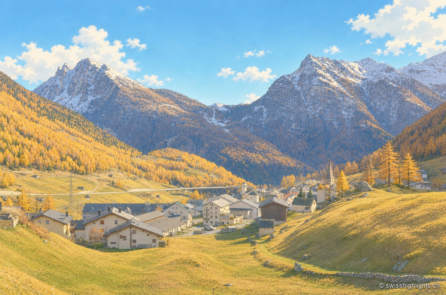
Village in the Po basin · Valais · 6 km as the crow flies
Simplon Village
Simplon and Gondo are the only two Valais villages on the southern side of the Alps. Its 281 residents (end 2024), nicknamed d'Chruitfrässer, are declining by 13.8% since 2010. The village joined Switzerland's Most Beautiful Villages association in 2020.
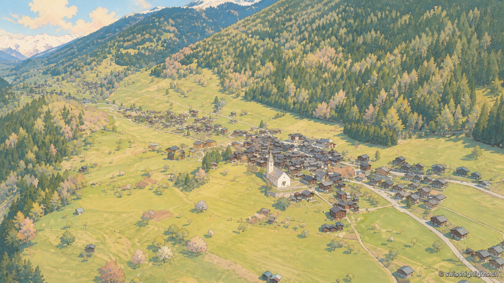
Goms village · Valais · 19 km as the crow flies
Ernen
Around a square lined with houses dated from 1511 to 1762 stand a church whose choir was finished in 1518 and the Tellenhaus of 1576, which carries a William Tell scene painted in 1578.
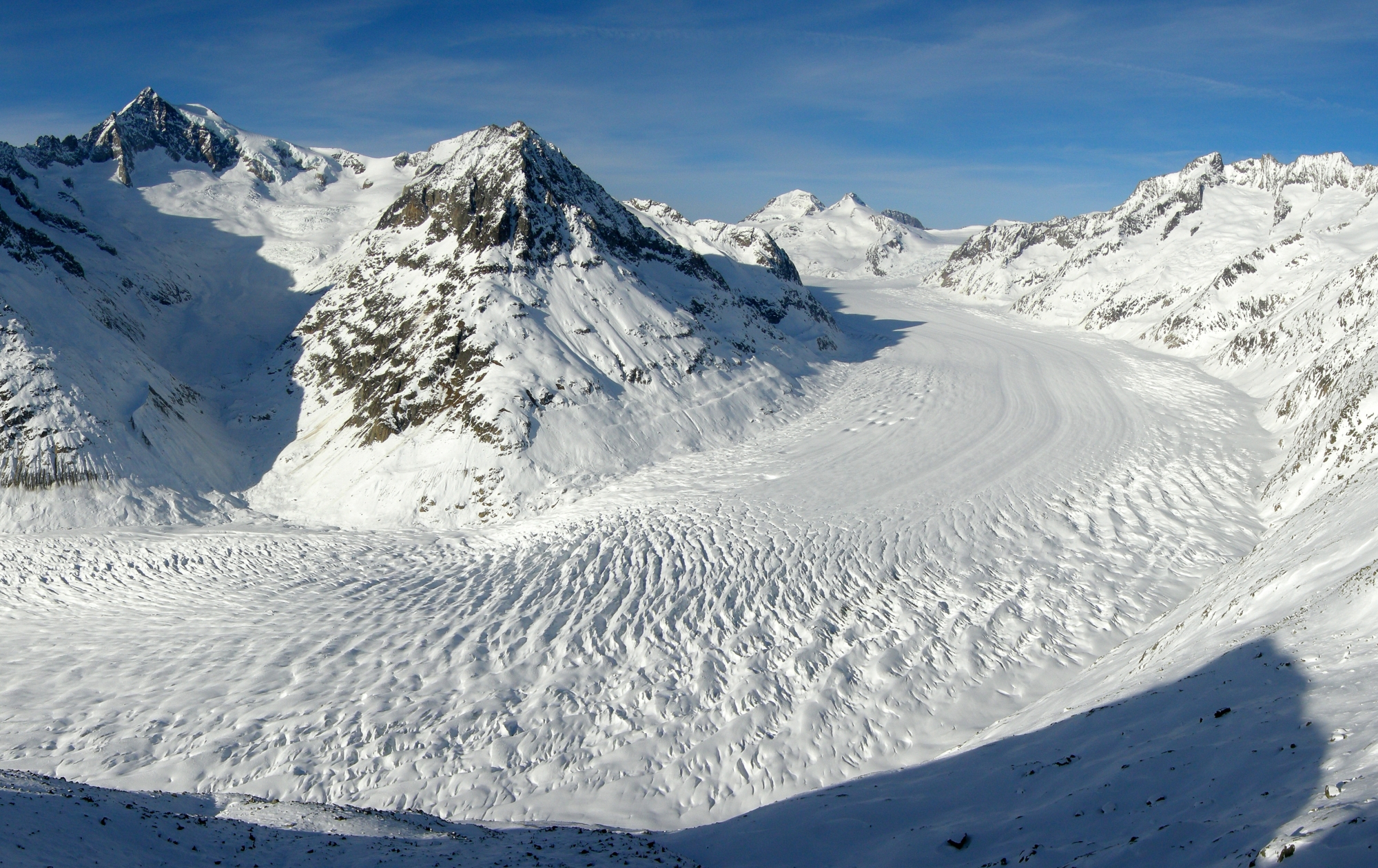
Glacier · Valais · 22 km as the crow flies
Aletsch Glacier
Three rivers of ice meet at Konkordiaplatz to form the largest glacier in the Alps. It flows 180 to 200 metres a year and loses up to 50 metres of length annually.