Glacier · Valais
Aletsch Glacier
The largest glacier in the Alps, formed where three streams of ice converge at Konkordiaplatz, in Valais.
The Aletsch Glacier is the largest glacier in the Alps. Three great streams of ice — the Grosser Aletschfirn, the Jungfraufirn and the Ewigschneefeld — descend from the Bernese summits and meet at Konkordiaplatz, where they become one. At that confluence the ice is given as 800 metres thick by the official regional source, and more than 900 metres by other surveys. This is where the essential is decided: the mass accumulated upstream determines what will reach the terminal tongue decades later.
Downstream, the surface carries the trace of that confluence. Two medial moraines — the Kranzbergmoräne to the west, the Trugbergmoräne to the east — draw long dark bands that continue each tributary and make the internal structure of the glacier visible from above. The ice is not still: it flows at some 180 to 200 metres a year. The tongue now ends at about 1,560 metres, where the Massa rises, the stream that carries the meltwater away.
The figures describing the glacier do not agree, and that disagreement is itself information. Its length is given as 20 kilometres by the official regional source, as 22.7 kilometres by a 2010 measurement, and as 23.6 kilometres by one from December 2001. The area ranges between 79 and 117.6 square kilometres depending on the perimeter used, the mass between 10 and 27 billion tonnes. The spread owes as much to the date of the survey as to the boundary chosen for the object measured: a fast-retreating glacier is hard to measure.
The glacier forms the core of the “Swiss Alps Jungfrau-Aletsch” property, inscribed on the UNESCO World Heritage List in 2001 and extended in 2007. The name links the glacier to the massif that feeds it, and what is protected is an ensemble — summits, firn basins and tongue of ice — rather than a single viewpoint. The official source for the property describes the largest glacial area in the Alps. The whole lies in the Bernese Alps, on Valais territory.
Why this place is remarkable
The scale is measured less by length — disputed, from 20 to 23.6 kilometres depending on the survey — than by thickness: 800 to more than 900 metres of ice accumulated at Konkordiaplatz, where three streams converge. It is the largest glacier in the Alps, and one of the places where retreat can be read with the naked eye: about 3 kilometres shorter than at the maximum of the 1860s, and up to 50 metres of length lost in some years.
History and origin
The glacier works as a balance between accumulation and loss, and that balance has been negative for a long time. At its last maximum, around 1860, it was about 3 kilometres longer than today. Surveys record a retreat of 2,600 metres since 1880, including 800 metres in the thirty years after 1980, and the loss of length can reach 50 metres a year. The front, which now stops at about 1,560 metres, leaves behind a corridor of polished rock that the ice occupied until recently.
What to do and see
- Observe from the heights the Konkordiaplatz, where three ice streams — the Grosser Aletschfirn, the Jungfraufirn and the Ewigschneefeld — meet with an ice thickness of 800 to over 900 metres.
- Spot the two medial moraines, the Kranzbergmoräne and the Trugbergmoräne, which form dark bands visible from the heights.
- Follow with your eyes the glacier's tongue down to its snout, at around 1,560 metres, where the Massa is born.
Coming with family: what to know
- The glacier's surface is not walking terrain: crevasses and snow bridges make any route off the marked paths dependent on competent guiding.
As a couple
- Contemplate together the largest glacier in the Alps from a viewpoint on the heights, at the heart of the Jungfrau-Aletsch UNESCO site.
- Follow with your eyes together the medial moraines that trail each ice stream down to their confluence at the Konkordiaplatz.
- Gauge, by recalling the glacier's retreat — about 3 kilometres since 1860 — the scale of the landscape spread out from the heights.
The surface of a glacier is not walking terrain: crevasses and snow bridges make any route off the marked paths dependent on competent supervision.
Figures for length, area and mass vary appreciably from one source to another; the values quoted here are dated and attributed.
Location
Loads an interactive Google Maps view on demand, from the place's verified coordinates.
The embedded map will be enabled once an authorized Google Maps key is configured. Use the link above in the meantime.
The map could not load. Check your connection or use the link above to open the place in Google Maps.
Related places
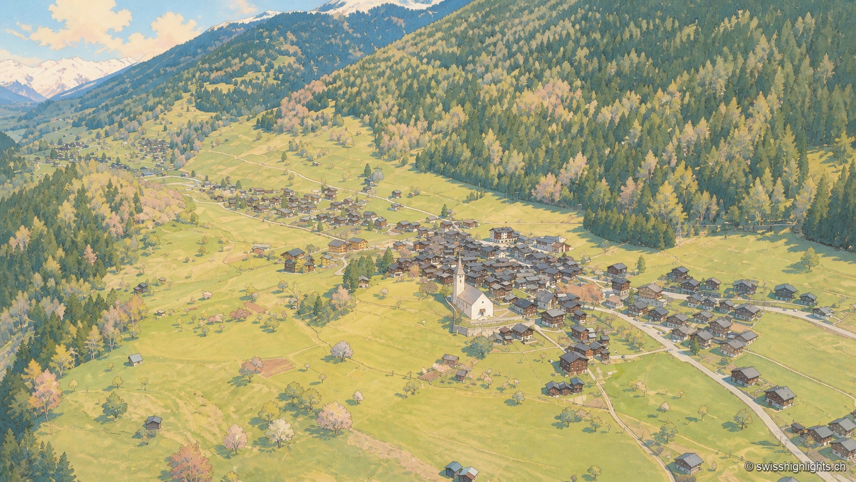
Goms village · Valais · 7 km as the crow flies
Ernen
Around a square lined with houses dated from 1511 to 1762 stand a church whose choir was finished in 1518 and the Tellenhaus of 1576, which carries a William Tell scene painted in 1578.
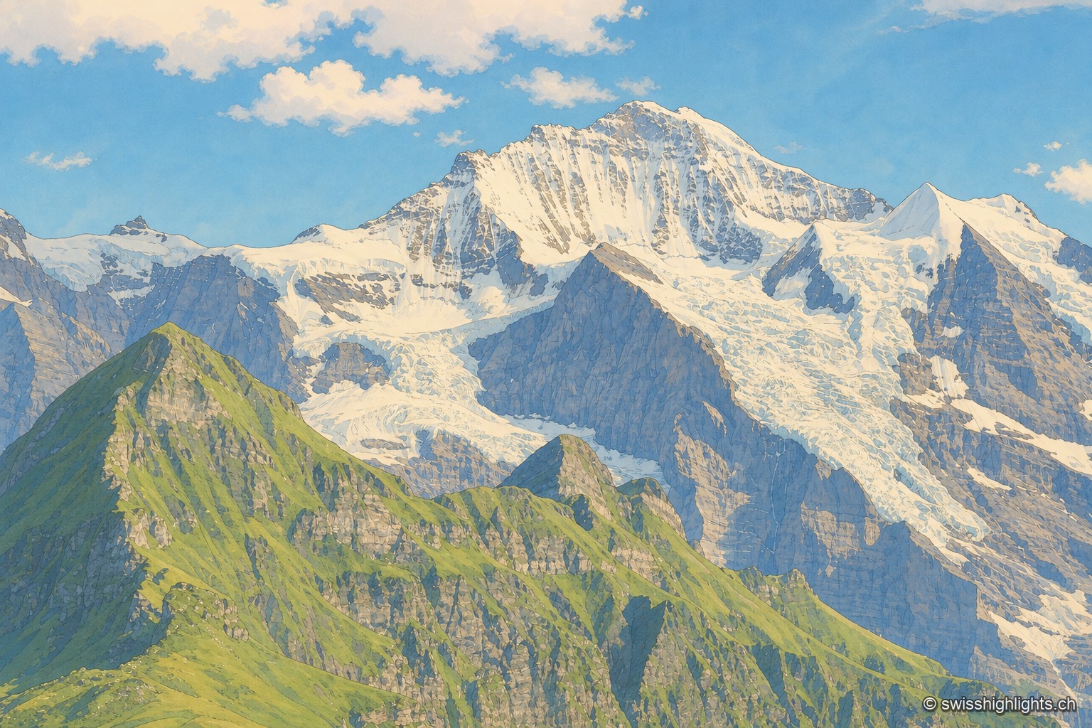
Summit · Bernese Alps · 14 km as the crow flies
Jungfrau
The mountain overlooks Lauterbrunnen, Grindelwald and Lake Thun. Since 1912 a rack railway has climbed to the Jungfraujoch, above 3,400 metres. The Jungfrau-Aletsch site has been a World Heritage property since 2001.
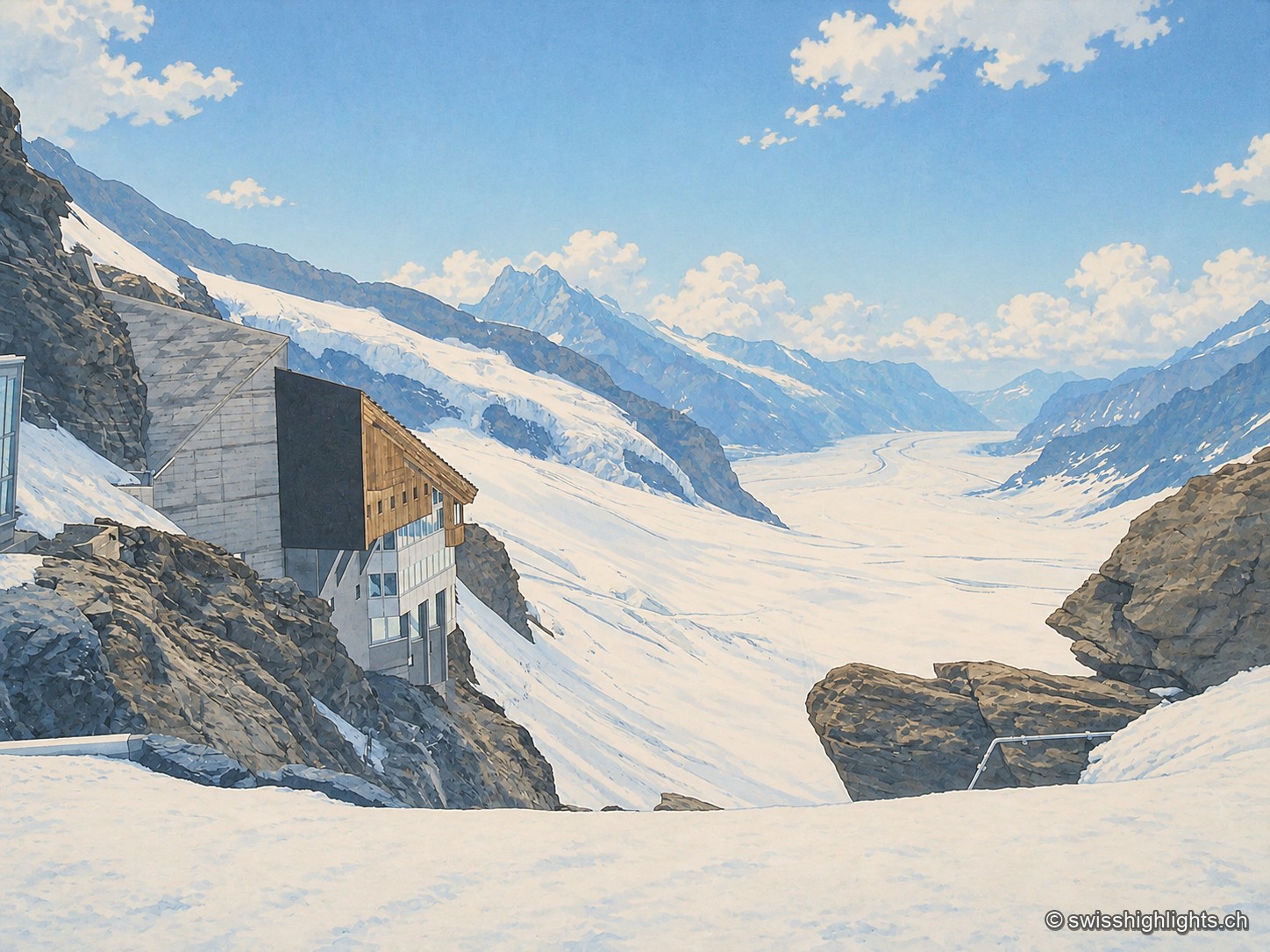
Railway pass · Bernese Alps · 14 km as the crow flies
Jungfraujoch
The line, proposed in 1893 by Adolf Guyer-Zeller and completed in 1912 after 7.1 km of tunnel under the Eiger and the Mönch, reaches 3,454 metres. The site drew more than a million visitors a year between 2017 and 2019.