Village in the Po basin · Valais
Simplon Village
One of only two Valais villages beyond the Alps' southern watershed ridge, draining into the Po basin rather than the Rhône, 9 km south of the Simplon Pass.
Simplon-Dorf sits at 1,476 m elevation, 9 km south of the Simplon Pass, in the district of Brig. The municipality is separated from Zwischbergen by the Gondo gorges, followed by the Doveria.
Its inhabitants are nicknamed d'Chruitfrässer, the cabbage-eaters, in Valais Swiss-German dialect. The village had 281 residents on 31 December 2024, for a density of 3 people per km²; its population fell by 13.8% between 2010 and 2023, while canton Valais grew by 17.0% and Switzerland by 9.4% over the same period.
Since 2020, Simplon has belonged to the Les plus beaux villages de Suisse (Switzerland's Most Beautiful Villages) association.
Why this place is remarkable
Simplon is one of only two Valais villages that the Alpine watershed ridge casts out of the Rhône basin, onto the Po side — a hydrographic quirk its local nickname, d'Chruitfrässer, the 'cabbage-eaters', gives no hint of. Since 2020 it has belonged to the Les plus beaux villages de Suisse association, even as its population falls (-13.8% between 2010 and 2023) while the canton's grows by 17.0%.
History and origin
Simplon-Dorf and, downstream, Gondo are the only two Valais villages lying beyond the Alps' southern watershed ridge: they therefore drain into the Po basin, while the great majority of Valais territory drains toward the Rhône.
What to do and see
- Take note of a geographical curiosity: Simplon is one of only two Valais villages located in the Po basin rather than the Rhône basin.
- Follow the Gondo gorges, along which the Doveria flows, separating the municipality from Zwischbergen.
- Look into the origin of the local nickname Chruitfrässer, the "cabbage eaters," attached to the village's inhabitants.
As a couple
- Walk through a village that has been a member since 2020 of the association The Most Beautiful Villages of Switzerland.
- Stop by the edge of the Gondo gorges, on the border with Zwischbergen.
- Take time in a village that, 9 km south of the Simplon Pass, already belongs hydrographically to Italy.
Location
Loads an interactive Google Maps view on demand, from the place's verified coordinates.
The embedded map will be enabled once an authorized Google Maps key is configured. Use the link above in the meantime.
The map could not load. Check your connection or use the link above to open the place in Google Maps.
Related places
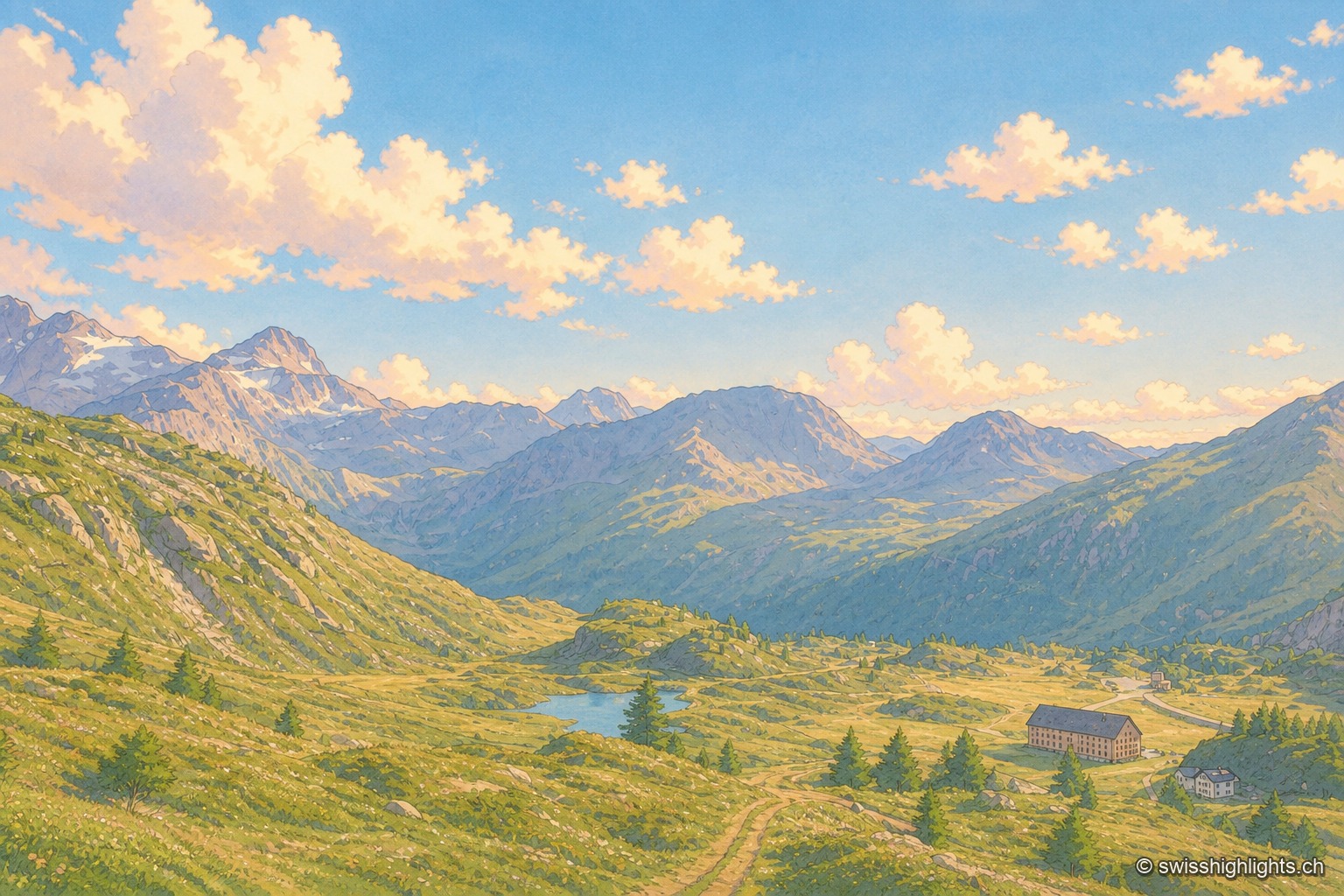
Road pass · Valais · 6 km as the crow flies
Simplon Pass
The road crosses at 2,006 metres, a little above the geographical col. Opened between 1801 and 1805 by Napoleon's decree, it runs from Brig to the Ossola valley and takes you from the Rhône to the Po.
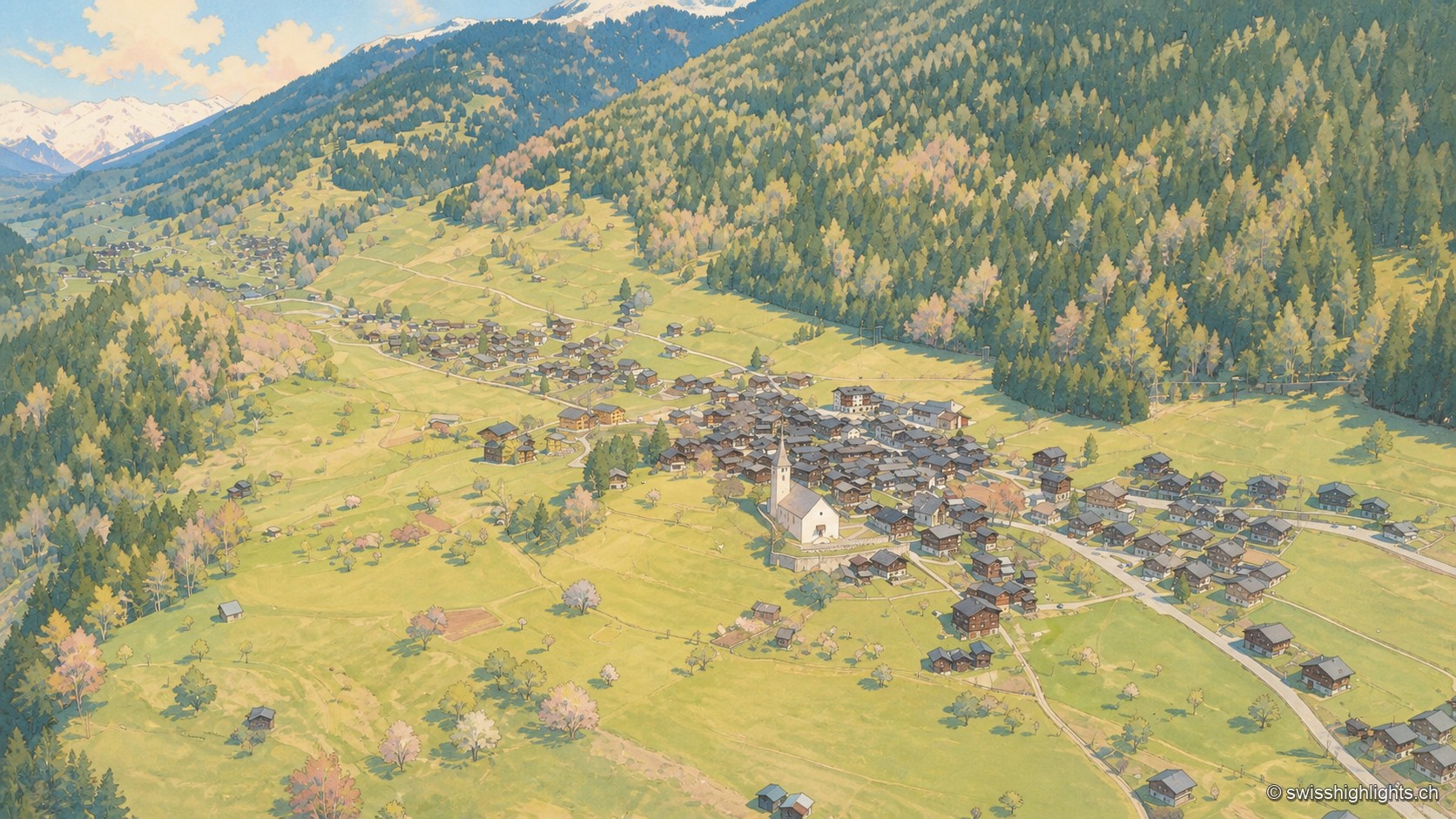
Goms village · Valais · 23 km as the crow flies
Ernen
Around a square lined with houses dated from 1511 to 1762 stand a church whose choir was finished in 1518 and the Tellenhaus of 1576, which carries a William Tell scene painted in 1578.
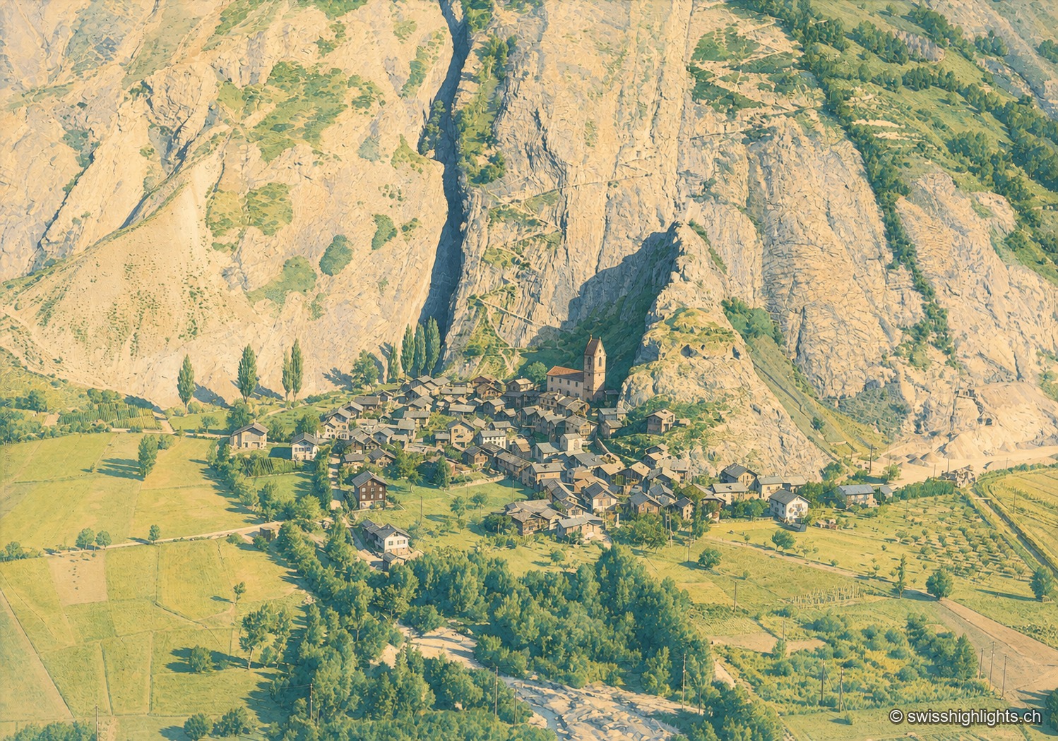
Valais village · Western Raron · 25 km as the crow flies
Niedergesteln
The name comes from the Latin castellum: a stone castrum once guarded the old road on the right bank. The Valais tithings destroyed the castle in 1384; the community bought back its rights in 1790.