Historic town · Vaud
Grandson
Vaud town on the shore of Lake Neuchâtel, marked by the 1476 battle and its medieval castle at the town centre.
Grandson is a commune in the canton of Vaud, in the district of Jura-Nord vaudois, on the shore of Lake Neuchâtel, 4 kilometres north of Yverdon-les-Bains. Its territory covers 7.86 square kilometres, two-thirds of it agricultural land. The commune had 3,390 inhabitants on 31 December 2024, a density of 431 inhabitants per square kilometre; its population grew by 11.4% between 2010 and 2023, against 18.6% for the canton and 9.4% for Switzerland.
The town's name first appears in writing between 1087 and 1092, as Grantione. In the 15th century, Grandson belonged to Louis de Chalon, a vassal of Charles the Bold, who held his castle at the centre of the town. Swiss militias seized it on 30 April 1475; on 2 March 1476, the Battle of Grandson saw the victory of the Confederates, allied with Louis XI of France, over Charles the Bold.
Grandson Castle receives around 30,000 visitors a year. The church of Saint-Jean-Baptiste, founded as a priory of the Benedictine congregation of La Chaise-Dieu, preserves a 15th-century entombment sculpture and was restored in 2007. A four-metre Neolithic menhir stands beside the road to Fiez. On 12 December 1289, Othon I of Grandson obtained Pope Nicholas IV's authorisation to found the Cordeliers convent, eventually built around 1308 on the lakeshore.
Since 2016, Grandson has belonged to the Most Beautiful Villages of Switzerland association. Since 13 December 2015, its railway station has been the terminus of lines S1 and S5 of the Vaud RER. Capital of the Grandson district from 1803 to 2007, the town was attached to the new Jura-Nord vaudois district following the 2003 reform of the Vaud constitution.
Why this place is remarkable
Grandson owes its renown to the Battle of 2 March 1476, in which Confederate troops defeated Charles the Bold on the shores of Lake Neuchâtel — a founding episode of Swiss historiography. From that era the town keeps its medieval castle, still at the centre of town, and a church founded as a Benedictine priory that preserves a 15th-century entombment sculpture. Since 2016, its built fabric has earned Grandson membership in the Most Beautiful Villages of Switzerland association.
History and origin
In the 15th century Grandson belonged to Louis de Chalon, a vassal of Charles the Bold. On 30 April 1475, Swiss militias captured its castle; on 2 March 1476, the Battle of Grandson saw Charles the Bold defeated there by the Confederates, allied with Louis XI of France. Earlier, in 1289, Othon I of Grandson had obtained Pope Nicholas IV's authorisation to found the Cordeliers convent, eventually built around 1308 on the shore of Lake Neuchâtel rather than on the banks of the Arnon as first planned.
What to do and see
- Visit the medieval castle of Grandson, still at the heart of the town, which welcomes about 30,000 visitors a year.
- Go to the shores of Lake Neuchâtel where the battle of 2 March 1476 was fought between the Confederates and Charles the Bold.
- Discover the Church of Saint-Jean-Baptiste, a Benedictine priory that preserves a 15th-century entombment scene.
- Spot the four-metre Neolithic menhir standing by the roadside to Fiez.
Coming with family: what to know
- The town has been part of the Most Beautiful Villages of Switzerland association since 2016, and its station serves the Vaud RER.
As a couple
- Wander through the medieval town marked by the battle of 1476, a founding episode of Swiss historiography.
- Stop in front of the 15th-century entombment scene preserved in the Church of Saint-Jean-Baptiste.
- Combine the castle visit with a walk along the shore of Lake Neuchâtel.
Location
Loads an interactive Google Maps view on demand, from the place's verified coordinates.
The embedded map will be enabled once an authorized Google Maps key is configured. Use the link above in the meantime.
The map could not load. Check your connection or use the link above to open the place in Google Maps.
Related places
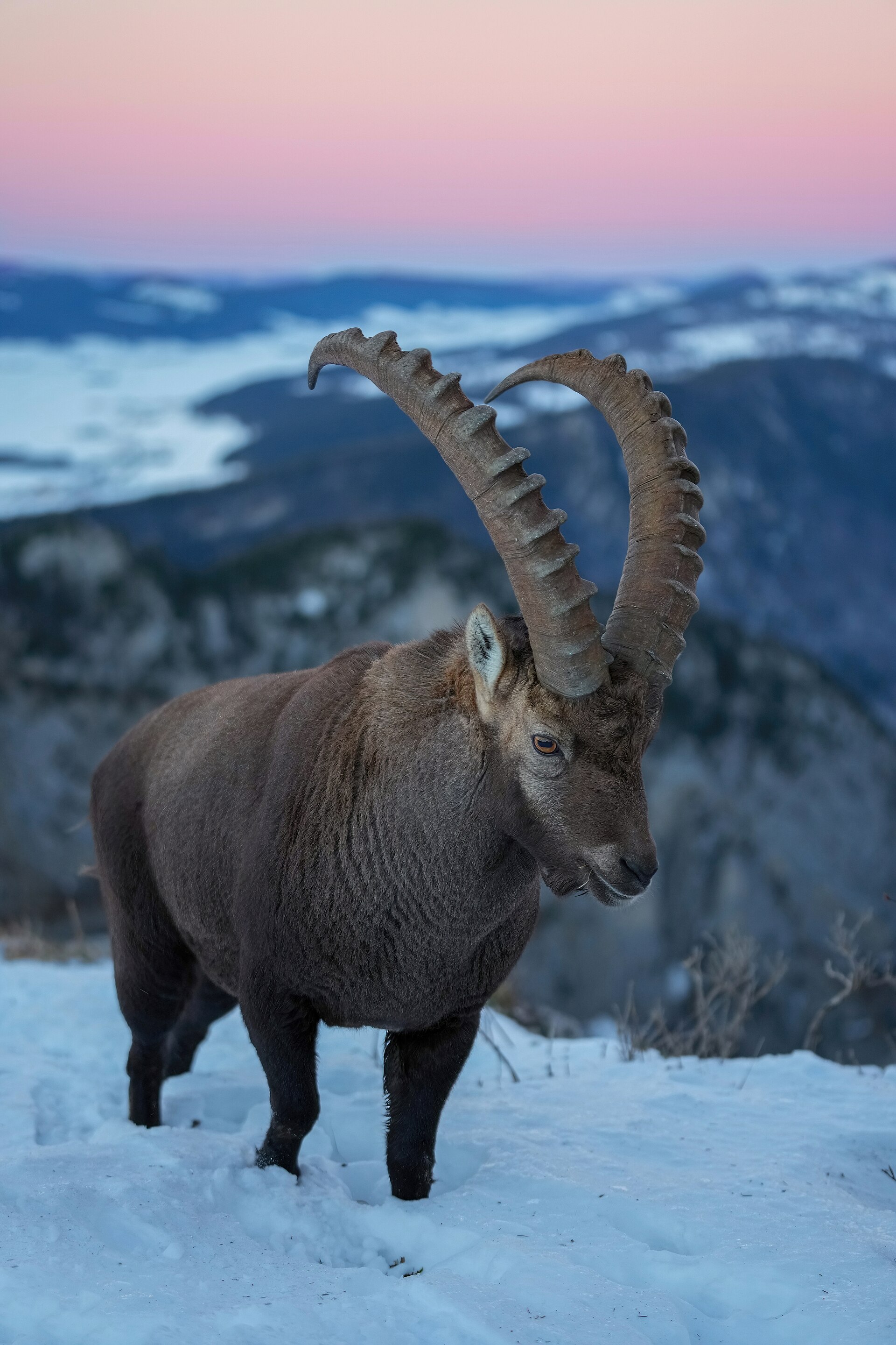
Rock cirque · Neuchâtel · 16 km as the crow flies
Creux du Van
A limestone wall closes an arc 1,000 to 1,400 metres across. Ibex, chamois and lynx live in the 15.5 km² reserve around the cirque, crowned by Le Soliat at 1,464 metres.
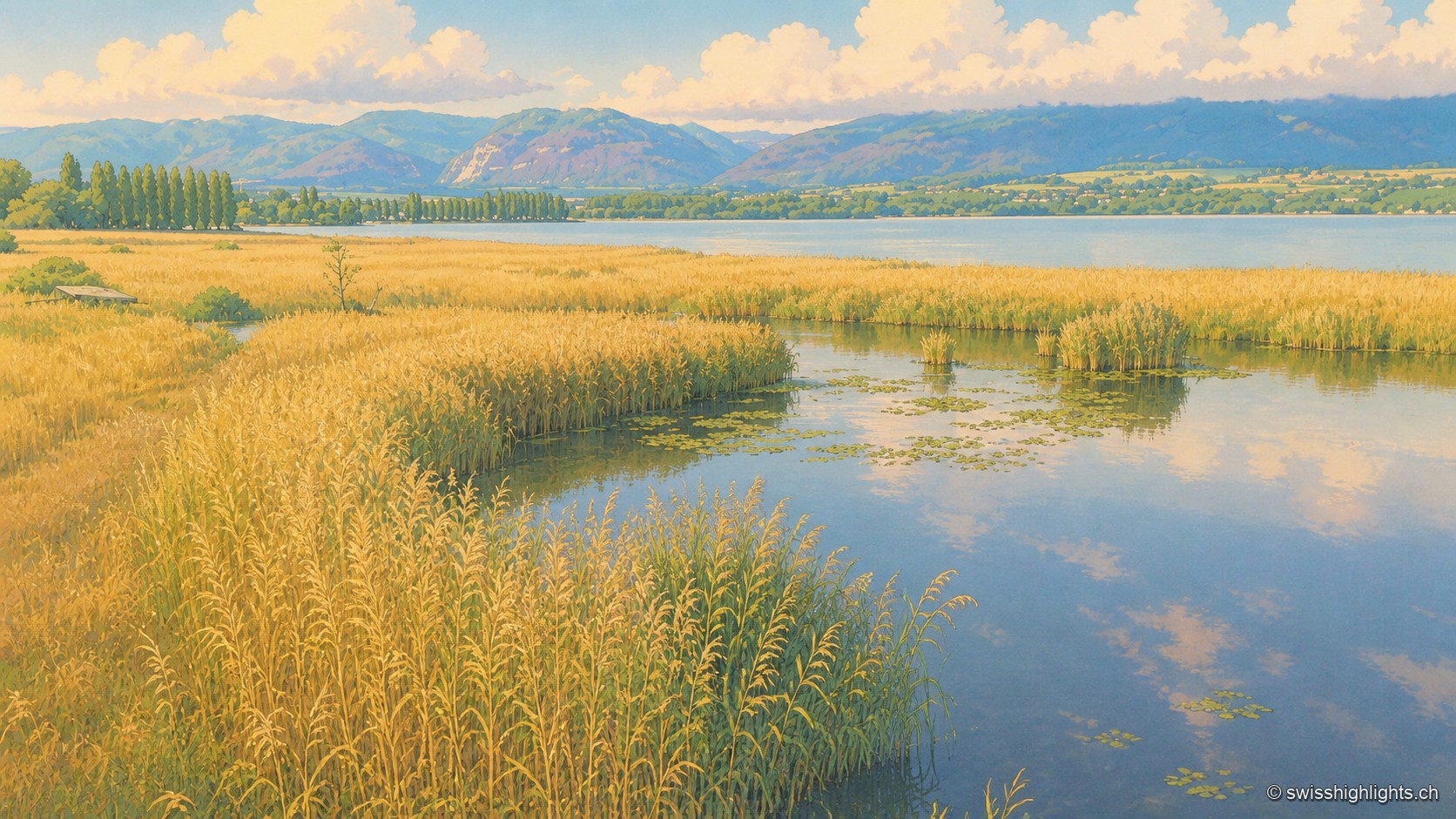
Lakeshore marsh · Lake Neuchâtel · 17 km as the crow flies
Grande Cariçaie
Eight intercantonal nature reserves cover about 3,000 hectares of reedbed, marsh and flooded forest. The landscape only exists because the Jura water correction lowered the lake by 2.7 metres between 1868 and 1891.
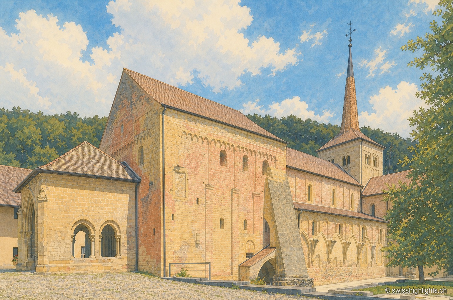
Cluniac village · Vaud · 18 km as the crow flies
Romainmôtier
The former abbey church of Saint Peter and Paul towers over a few sloping streets in the bottom of the Nozon valley. Handed to Cluny around 929, the Romanesque church is now a Reformed temple and a cultural property of national importance.