Summit · Bernese Alps
Eiger
A limestone summit of 3,967 metres whose north face, about 1,650 metres high, is one of the three great north walls of the Alps.
The Eiger stands slightly forward of the main ridge of the Bernese Alps, entirely on Bernese territory, on the boundary between the municipalities of Lauterbrunnen and Grindelwald. Its summit reaches 3,967 metres. With the Mönch (4,110 m) and the Jungfrau (4,158 m) it forms the trio of peaks that dominates the central Bernese Oberland; their north sides rise some 3,000 metres above the valley. Since the end of 2001 the mountain has lain within the perimeter of the Swiss Alps Jungfrau-Aletsch natural World Heritage site.
The north face — in fact facing north-west — measures some 1,650 metres and can be seen from Grindelwald and from the whole basin rising to the Kleine Scheidegg. It is one of the three great north walls of the Alps, with those of the Matterhorn and the Grandes Jorasses; mountaineering long called them the last unsolved problems of the range, and the Eiger's was the last to fall. Two roped parties had died on it before the wall was climbed, which earned it the name Mordwand, murder wall. In 1936 the failed retreat of Rainer, Angerer, Hinterstoisser and Kurz ended in the death of all four. The first direct ascent was made from 21 to 24 July 1938: the Germans Anderl Heckmair and Ludwig Vörg, the Austrians Heinrich Harrer and Fritz Kasparek, two parties that had set out separately and joined forces on the wall; the propaganda of the National Socialist regime seized on the feat at once.
The summit itself had been reached far earlier, on 11 August 1858, by the Grindelwald guides Christian Almer and Peter Bohren with their Irish client Charles Barrington, by the west flank. The mountain is also pierced: since it opened in 1912, the Jungfrau railway has run inside the Eiger rock, and a halt had been cut as early as 1903 into the north face itself, at Eigerwand. The massif is not fixed for all that. In 2006 a crack about 250 metres long and 7 metres wide opened on the east side, below the Mittellegi ridge, and on 14 July a block 30 metres high, nearly 200,000 cubic metres, collapsed after the retreat of the lower Grindelwald glacier.
Why this place is remarkable
Few walls have counted for as much in the history of mountaineering, and few are as easy to look at: the 1,650 metres of the north face can be taken in at a glance from the meadows of Grindelwald, with no approach walk. That closeness explains the attention the place received — the attempts of 1935 and 1936 were followed through binoculars from the valley, and the point where two climbers were last seen alive is still called the death bivouac. The same mountain has carried a railway tunnel since 1912: the contrast between the wall and the train that crosses inside it fits into a single image.
History and origin
The Eiger belongs to the Helvetic system, those limestone nappes torn from their crystalline base during a late phase of Alpine folding and pushed north-west. The massif consists entirely of limestone of the Helvetic zone — Schrattenkalk of the Cretaceous and Malm limestone of the Upper Jurassic — whose folded beds remain legible to the naked eye in the wall. The mountain appears in written records on 24 July 1252, in a deed of sale between Ita von Wädiswyl and the provostry of Interlaken that bounds a plot of land 'as far as the mountain called Egere': it is the second documented mention of a Swiss mountain, after the Bietschhorn in 1233. The name probably does not come from the ogre it calls to mind; among the explanations put forward is the dialect form dr hej Ger, the high spear, referring to the profile of the summit.
What to do and see
- Observe the north face, 1,650 metres of elevation drop, from the meadows of Grindelwald or the Kleine Scheidegg, with no approach walk needed.
- Follow the route of the Jungfrau railway, opened in 1912, which passes through the rock of the Eiger.
- Spot, in the wall, the folded limestone beds of the Helvetic system, readable to the naked eye.
- Compare the Eiger with the Mönch and the Jungfrau, the two other peaks of the trio that dominates the Oberland.
Coming with family: what to know
- The Eiger is a mountaineering summit, and its north face an extreme-commitment route, with 69 people having lost their lives there according to a count stopped in 2011 — the face is to be contemplated from the valley, not improvised on.
- The east flank has remained unstable since the 2006 collapse, with a mass of about 20 million cubic metres of rock still considered unstable.
As a couple
- Contemplate together the north face from Grindelwald, a panorama that can be taken in at a glance.
- Recall the story of the first direct ascent, from 21 to 24 July 1938, by two rope teams that joined forces on the wall.
- Search together, with binoculars, for the site of the death bivouac, where two climbers were last seen alive in 1936.
- Take the Jungfrau railway, which has crossed through the mountain since 1912.
The Eiger is a mountaineering summit and its north face a route of extreme commitment: 69 people had lost their lives on the mountain, at least 52 of them on the north face, according to a count made in 2011.
The east side remains unstable: after the collapse of nearly 200,000 cubic metres in 2006, a mass of about 20 million cubic metres of rock was still considered unstable.
Location
Loads an interactive Google Maps view on demand, from the place's verified coordinates.
The embedded map will be enabled once an authorized Google Maps key is configured. Use the link above in the meantime.
The map could not load. Check your connection or use the link above to open the place in Google Maps.
Related places
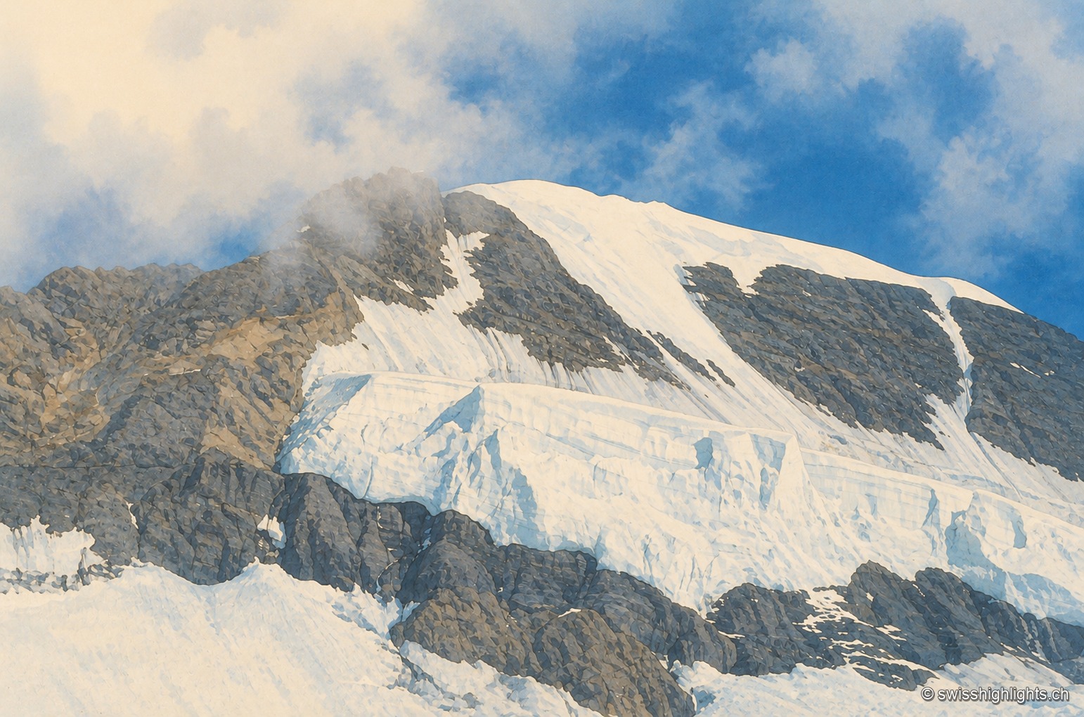
Bernese Alps summit · 4,110 m · 2 km as the crow flies
Mönch
Middle link of the Eiger–Mönch–Jungfrau chain, it reaches 4,110 metres. Its south face rests on the Jungfraufirn, a tongue of the Aletsch glacier; its name is thought to come from a horse pasture, not from a monk.
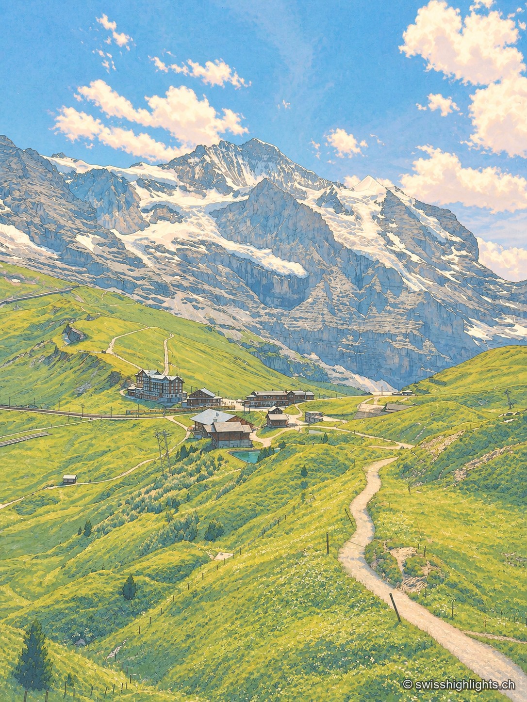
Railway pass · Bernese Oberland · 3 km as the crow flies
Kleine Scheidegg
The pass divides only the two arms of the Lütschine, hence its name, the minor watershed. From it the Eiger at 3,967 metres, the Mönch at 4,110 and the Jungfrau at 4,158 appear at once. The first hotel was built here in 1840.
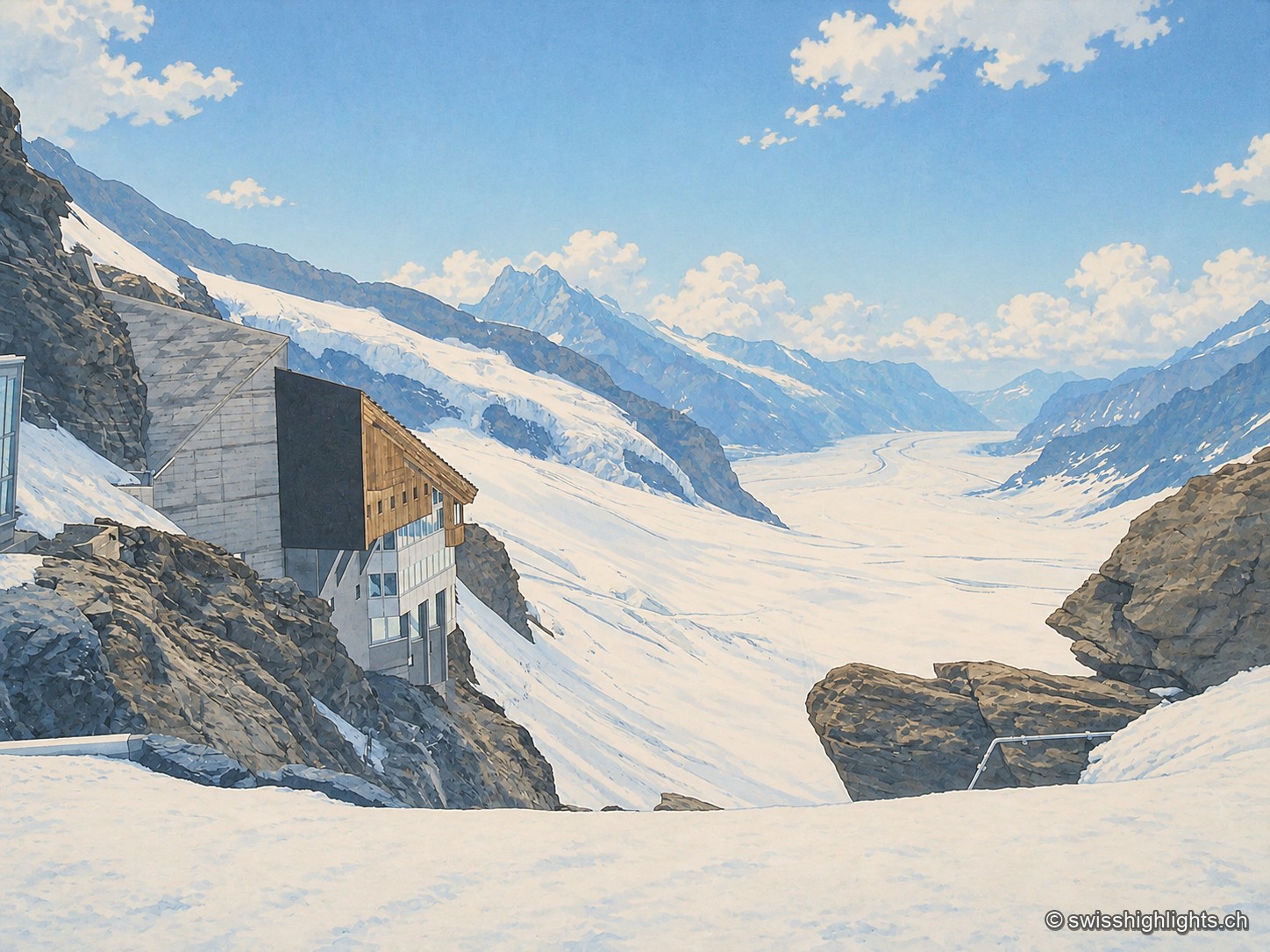
Railway pass · Bernese Alps · 4 km as the crow flies
Jungfraujoch
The line, proposed in 1893 by Adolf Guyer-Zeller and completed in 1912 after 7.1 km of tunnel under the Eiger and the Mönch, reaches 3,454 metres. The site drew more than a million visitors a year between 2017 and 2019.