Bernese Alps summit · 4,110 m
Mönch
A 4,110-metre peak between the Eiger and the Jungfrau, its north side dropping close to 2,000 metres to the Kleine Scheidegg.
The Mönch stands in the middle of the line formed by the Eiger, the Mönch and the Jungfrau, in the Bernese Alps, and counts among the individualised summits of the range. It reaches 4,110 metres. Its four faces are unlike one another: to the north the wall falls in one sweep to the Kleine Scheidegg pass, close to 2,000 metres below; to the south, lower, it leans against the Jungfraufirn, one of the glacial tongues of the Aletsch glacier. The north-east face is short and glaciated, and the western flank, highly complex, does not lead directly to the summit.
The Jungfraujoch, the col separating the Mönch from the Jungfrau, carries the upper station of the Jungfrau railway: the foot of the mountain is reached by rail. The outline is familiar enough in Switzerland to appear among the mountains chosen for the official Federal Council photograph of 2024.
The name misleads. Modern German hears Mönch as monk, but the proposed etymology goes back to münche, a word for a summer pasture where geldings were put out to graze; the older spellings, Münchenberg and then Münch, point the same way. The monk belongs to a late reading of the word, not to its origin.
Why this place is remarkable
The Mönch takes its character from the gap between its two sides: to the north a wall plunging close to 2,000 metres to the Kleine Scheidegg, to the south an almost calm footing on the Jungfraufirn, in the ice field from which the Aletsch glacier descends. At 4,110 metres it is a summit whose base is reached by train, at the Jungfraujoch, and whose other face keeps the full scale of a great mountain wall.
History and origin
The record of its ascents opens on a disputed claim. In 1855 the Romanian princess Helene Koltsov-Massalsky, who wrote as Dora d'Istria, announced that she had reached the summit with four guides, and had them sign an ascent certificate for 1,000 Swiss francs — Christian Almer refused to sign. John Ball, Leslie Stephen and then Gottlieb Samuel Studer cast doubt on the climb: the route was described too vaguely and the descent was far too quick; in their view the party, misled by bad weather, had rather reached the Klein Mönch, at 3,687 metres. The first undisputed ascent is that of 15 August 1857, by the north-east ridge, with Siegismund Porges and the guides Christian Almer, Ulrich Kaufmann and Christian Kaufmann. The south-east ridge, now the normal route, was climbed in 1863; the first winter ascent took place in January 1874, and the north face waited until 1921.
What to do and see
- Observe from the Jungfraujoch the Mönch's two very different faces, the north wall and the south support on the Jungfraufirn.
- Spot the summit's silhouette in the Eiger-Mönch-Jungfrau line, an alignment featured on the Federal Council's official 2024 photo.
- Reach the Jungfraujoch by train to get close to the mountain's foot.
Coming with family: what to know
- The summit itself is a matter of mountaineering; the Jungfraujoch, reachable by train, allows getting close to its foot without an ascent.
As a couple
- Compare from the Jungfraujoch the Mönch's north wall, which drops nearly 2,000 metres to the Kleine Scheidegg, with its calmer south side.
- Take a moment to observe the summit's four very different faces, ranging from glacier to sheer rock wall.
Location
Loads an interactive Google Maps view on demand, from the place's verified coordinates.
The embedded map will be enabled once an authorized Google Maps key is configured. Use the link above in the meantime.
The map could not load. Check your connection or use the link above to open the place in Google Maps.
Related places
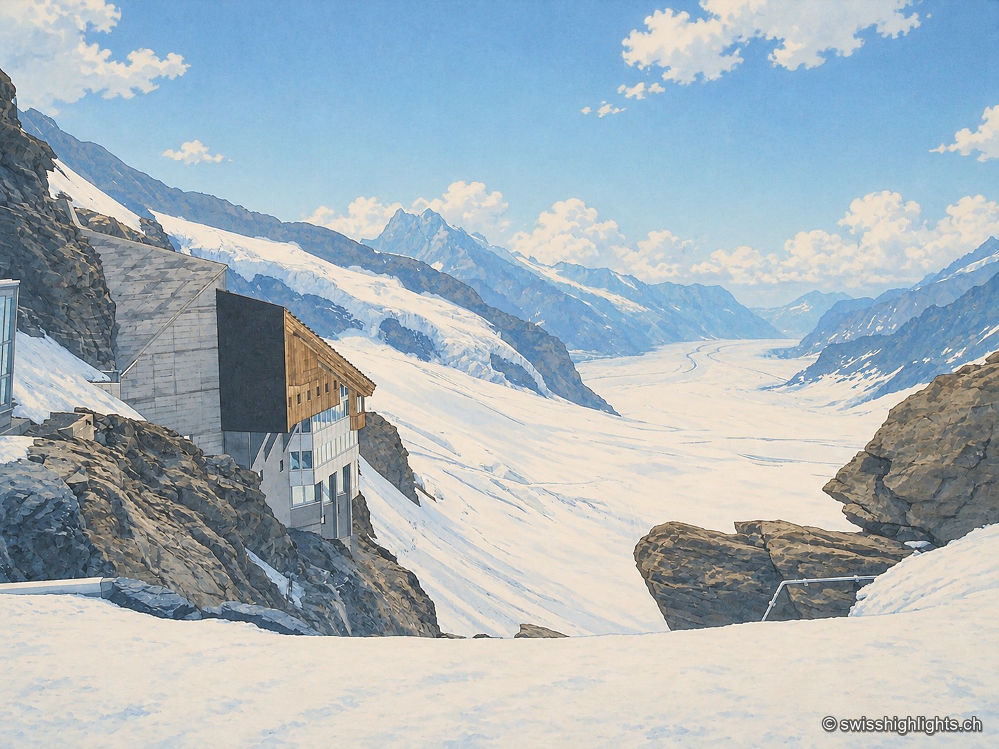
Railway pass · Bernese Alps · 2 km as the crow flies
Jungfraujoch
The line, proposed in 1893 by Adolf Guyer-Zeller and completed in 1912 after 7.1 km of tunnel under the Eiger and the Mönch, reaches 3,454 metres. The site drew more than a million visitors a year between 2017 and 2019.
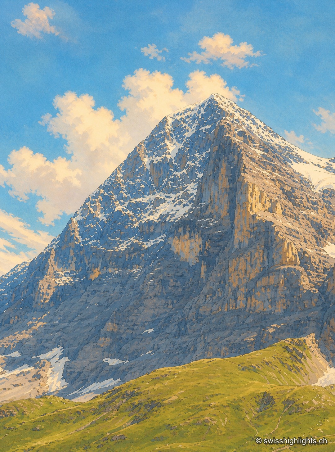
Summit · Bernese Alps · 2 km as the crow flies
Eiger
The Eiger carries its summit to 3,967 metres above Grindelwald. Its north face, about 1,650 metres high, was not climbed until July 1938; since 1912 a railway has run through the mountain itself.
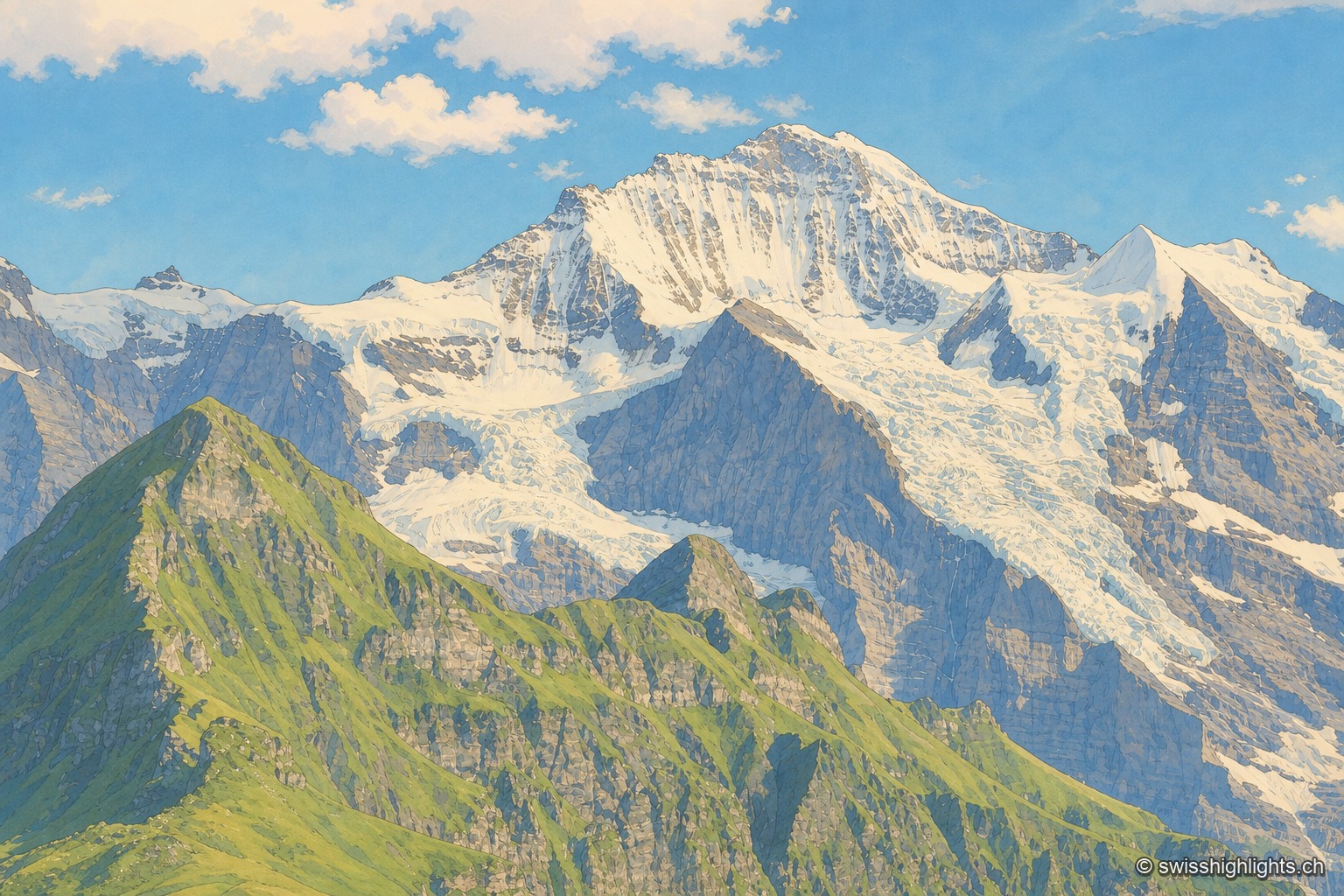
Summit · Bernese Alps · 4 km as the crow flies
Jungfrau
The mountain overlooks Lauterbrunnen, Grindelwald and Lake Thun. Since 1912 a rack railway has climbed to the Jungfraujoch, above 3,400 metres. The Jungfrau-Aletsch site has been a World Heritage property since 2001.