Railway pass · Bernese Alps
Jungfraujoch
At 3,463 metres between the Mönch and the Jungfrau, the highest railway station in Europe opens onto the Aletsch Glacier, a UNESCO site since 2001.
The Jungfraujoch occupies the lowest point on the ridge linking the Mönch to the Jungfrau, in the Bernese Alps, at 3,463 metres, on the boundary between the cantons of Bern and Valais. The pass lies across the municipalities of Lauterbrunnen, on the Bernese side, and Fieschertal, on the Valais side, where almost all the buildings of the site stand. It falls within the Jungfrau-Aletsch natural site, a UNESCO World Heritage property since 2001, and looks out over the Aletsch Glacier stretching away to the south.
The line that reaches it was proposed in 1893 by the Zurich industrialist Adolf Guyer-Zeller; construction began in 1896 and finished in 1912, after boring 7.1 kilometres of tunnel under the Eiger and the Mönch, on a route totalling 9.3 kilometres from Kleine Scheidegg. The terminus, at 3,454 metres, remains the highest railway station in Europe. The site is often called the 'Top of Europe' in tourist guides.
On the surface, the Sphinx observatory occupies a rocky spur at 3,571 metres, on the Valais side, above the glacier; a high-altitude research station was inaugurated there in 1931 and is still run by the Foundation for the High Altitude Research Stations Jungfraujoch and Gornergrat. On 21 October 1972 a fire destroyed the site's hotel and restaurant without casualties; the building that replaced them, 'Top of Europe' by architect Ernst E. Anderegg, opened in 1987. Since December 2020 the Eiger Express cable car has linked Grindelwald directly to Eigergletscher station, on the Jungfraujoch line.
The pass was first crossed in July 1862 by a party led by the British mountaineer Leslie Stephen, with valley guides — thirty years before the idea of a railway line was even proposed. Between 2017 and 2019 the site drew more than a million visitors a year, making it one of the most visited tourist destinations in Switzerland.
Why this place is remarkable
The Jungfraujoch owes its fame to a contrast between two timescales: a station bored through granite in sixteen years, between 1896 and 1912, to reach 3,454 metres — the highest in Europe — on a pass mountaineers were already crossing on foot in 1862. The line opens onto the Aletsch Glacier, at the heart of a site inscribed on the UNESCO World Heritage list since 2001, while at the Sphinx observatory, on its spur at 3,571 metres, a research station operates on the same spot that more than a million visitors pass through every year.
History and origin
The route, completed in 1912 from a project launched in 1893 by the industrialist Adolf Guyer-Zeller, bores 7.1 kilometres of tunnel under the Eiger and the Mönch over a total course of 9.3 kilometres from Kleine Scheidegg. The ridge itself carries a watershed: to the north, the Lütschine flows into the Aare and then the Rhine; to the south, the Massa, fed by the melting Aletsch Glacier, flows into the Rhône. The hotel-restaurant opened with the line burned down entirely on 21 October 1972; the current building, 'Top of Europe' by architect Ernst E. Anderegg, dates from 1987.
What to do and see
- Take the train up to the terminal station at 3,454 metres, the highest in Europe, completed in 1912.
- Observe the Aletsch glacier from the site, inscribed on the UNESCO World Heritage list since 2001.
- Go up to the Sphinx observatory, at 3,571 metres, above the glacier.
- Spot the 1987 "Top of Europe" building, rebuilt after the 1972 fire.
Coming with family: what to know
- The site is at 3,463 metres of altitude, which implies acclimatisation; no health details are given by the source.
As a couple
- Watch from the pass the Aletsch glacier stretching south, at the heart of the UNESCO site.
- Go up to the Sphinx observatory, on its rocky spur at 3,571 metres.
- During the train ride, tell each other about the boring of the 7.1-kilometer tunnel beneath the Eiger and the Mönch between 1896 and 1912.
Location
Loads an interactive Google Maps view on demand, from the place's verified coordinates.
The embedded map will be enabled once an authorized Google Maps key is configured. Use the link above in the meantime.
The map could not load. Check your connection or use the link above to open the place in Google Maps.
Related places
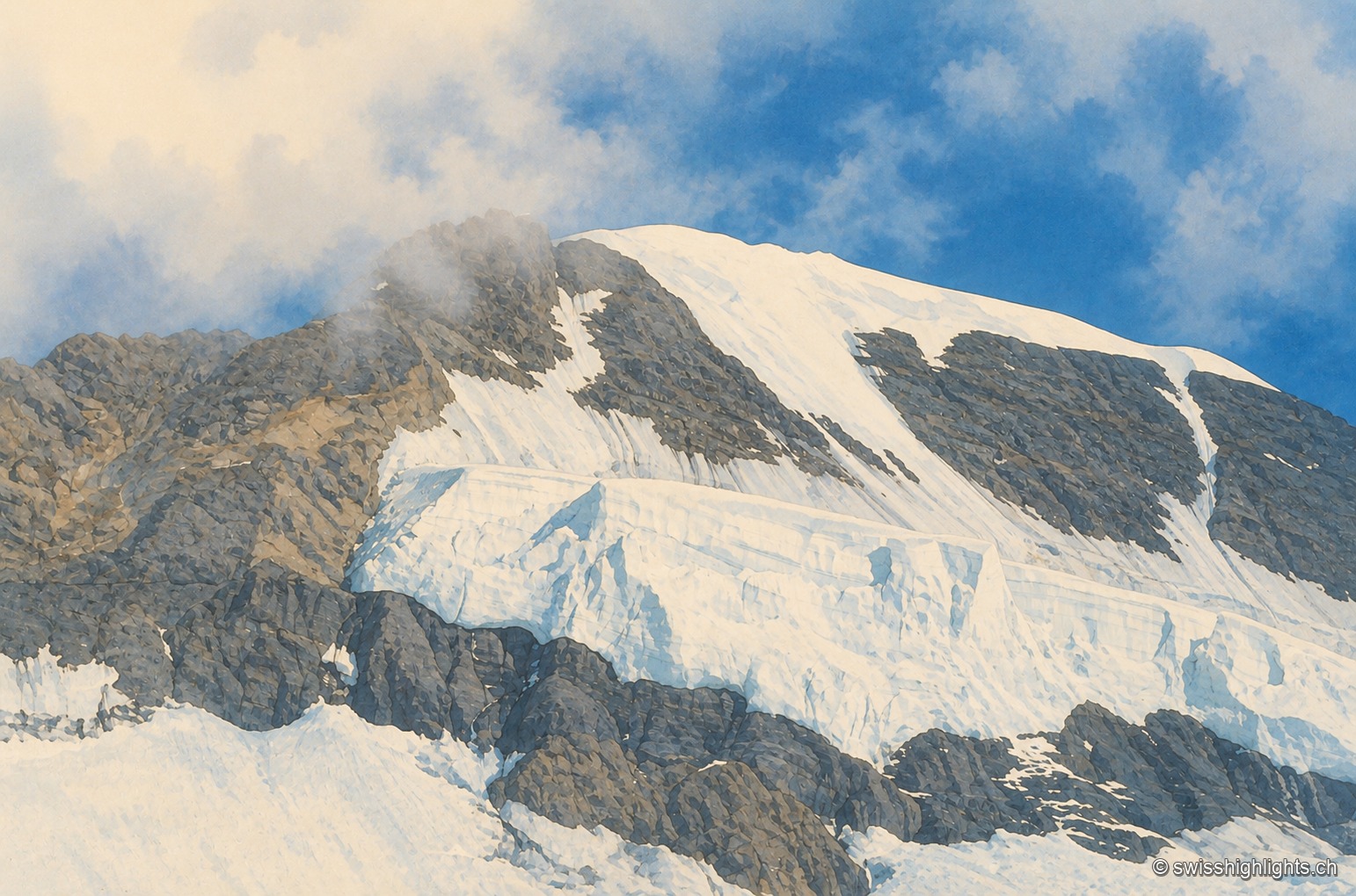
Bernese Alps summit · 4,110 m · 2 km as the crow flies
Mönch
Middle link of the Eiger–Mönch–Jungfrau chain, it reaches 4,110 metres. Its south face rests on the Jungfraufirn, a tongue of the Aletsch glacier; its name is thought to come from a horse pasture, not from a monk.
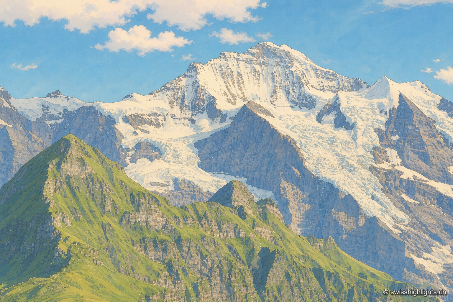
Summit · Bernese Alps · 2 km as the crow flies
Jungfrau
The mountain overlooks Lauterbrunnen, Grindelwald and Lake Thun. Since 1912 a rack railway has climbed to the Jungfraujoch, above 3,400 metres. The Jungfrau-Aletsch site has been a World Heritage property since 2001.
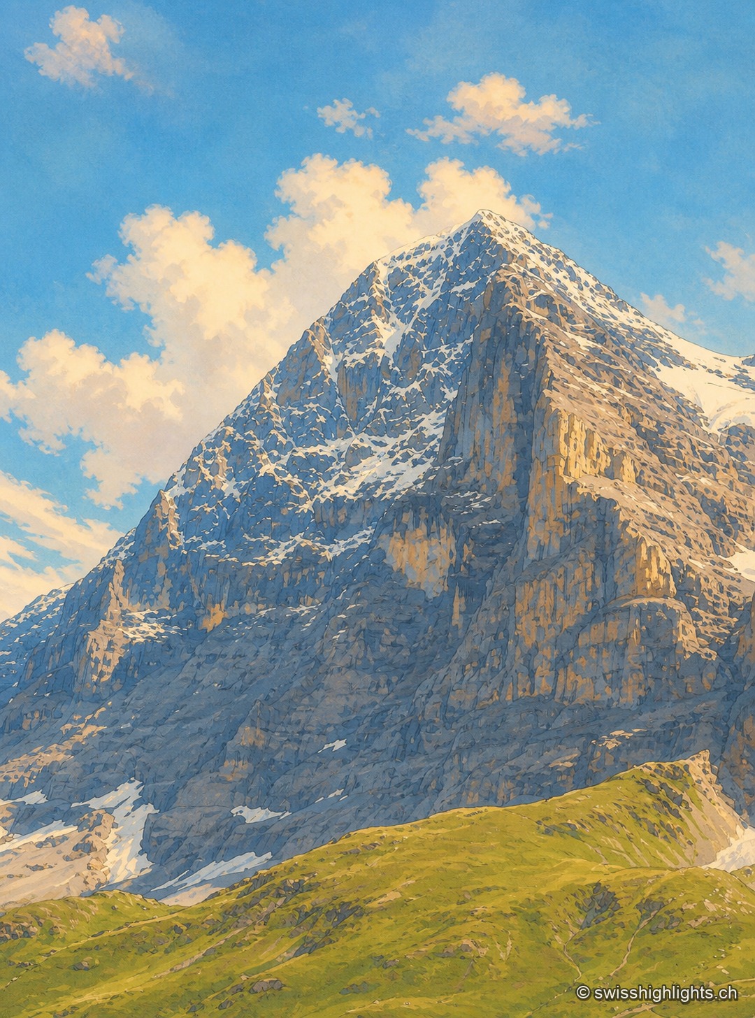
Summit · Bernese Alps · 4 km as the crow flies
Eiger
The Eiger carries its summit to 3,967 metres above Grindelwald. Its north face, about 1,650 metres high, was not climbed until July 1938; since 1912 a railway has run through the mountain itself.