Monastic island · Lake Zurich
Ufenau
The largest lake island in Switzerland, owned by Einsiedeln Abbey since 965, with a Romanesque church consecrated in 1141.
Ufenau is an island in Lake Zurich, within the territory of the Schwyz commune of Freienbach, and the largest lake island in Switzerland. Covering 11 hectares, it belongs to the territorial abbey of Einsiedeln. According to the Federal Office of Topography, it is the largest Swiss island not linked to shore by any bridge. Its surface is almost entirely grass, with a few stands of trees along the banks and buildings on the higher ground.
The site carries three protections of national importance: it appears on the inventory of townscapes worth protecting, on that of landscapes and natural monuments, and as a cultural property. This triple protection blocked, in 2012, a new restaurant designed by architect Peter Zumthor.
Underwater excavations south of the island uncovered pottery shards dated to the fourteenth century BC. A Gallo-Roman temple later stood here, replaced by a first chapel of Saint Martin. The island's first written mention, as Hupinauia, dates from 741. In 965, Emperor Otto I gave it to the monastery of Einsiedeln; soon after, the Swabian duchess Reginlinde settled there and had the parish church of Saints Peter and Paul built, consecrated in 1141, where her son, canonised as Saint Adalrich, rests.
Against the outer wall of the Romanesque church lies the tombstone of knight Ulrich von Hutten, who took refuge on the island during the Reformation and died there in 1523. Having become the property of the canton of Linth under the Helvetic Republic, the island was sold to a private owner, then bought back by Einsiedeln Abbey after the 1805 Act of Mediation. The first steamship served it in 1857; a harbour was built on the north side fifteen years later, then moved to the south in 1881.
Why this place is remarkable
An island under triple national protection — townscape, natural landscape, cultural property — to the point of stopping a 2012 restaurant project by Peter Zumthor: few places in Switzerland combine this biological and historical continuity. The history holds in a few dated names — Otto I in 965, Reginlinde and the church of 1141, knight Ulrich von Hutten who died here in 1523 — on 11 hectares that the Federal Office of Topography calls the largest bridgeless island in Switzerland.
History and origin
Pottery shards found south of the island date to the fourteenth century BC. A Gallo-Roman temple preceded the first chapel of Saint Martin. First mentioned in 741 as Hupinauia, the island was given by Emperor Otto I to the monastery of Einsiedeln in 965; Duchess Reginlinde then had the church of Saints Peter and Paul consecrated there in 1141. It passed to the canton of Linth under the Helvetic Republic and returned to Einsiedeln in 1805, after the Act of Mediation.
What to do and see
- Observe the Romanesque church of Saints Peter and Paul, consecrated in 1141 by order of Duchess Reginlinde.
- Find the tombstone of the knight Ulrich von Hutten, who died here in 1523, against the outer wall of the church.
- Walk around the island on foot: 11 hectares of grass, with no bridge to the shore, on Lake Zurich.
- Take the measure of the site's threefold national protection, which blocked a restaurant project by Peter Zumthor in 2012.
Coming with family: what to know
- The island is only accessible by boat, with no bridge or road access.
As a couple
- Cross by boat to the largest lake island in Switzerland, with no bridge to the shore.
- Linger before the Romanesque church of 1141 and the tomb of the knight Ulrich von Hutten.
- Walk quietly across the 11 hectares of grass and the stands of trees lining the shore.
Location
Loads an interactive Google Maps view on demand, from the place's verified coordinates.
The embedded map will be enabled once an authorized Google Maps key is configured. Use the link above in the meantime.
The map could not load. Check your connection or use the link above to open the place in Google Maps.
Related places
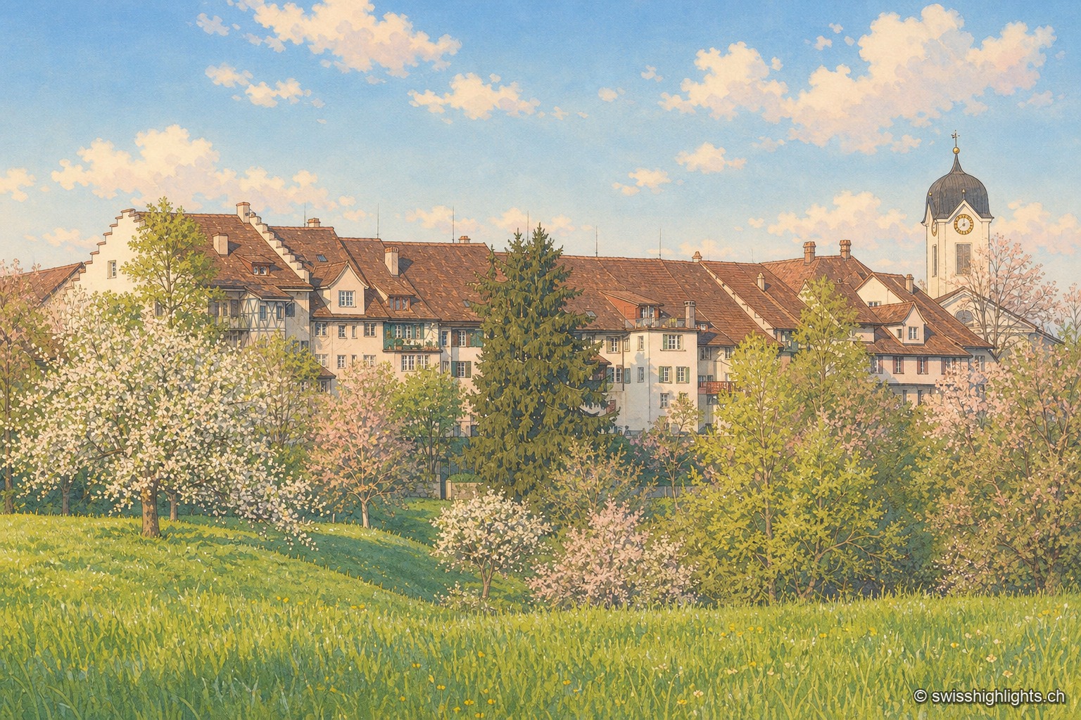
Bailiwick town · Zurich · 7 km as the crow flies
Grüningen
The castle goes back to the 13th century and housed the Zurich bailiffs until 1798; the Reformed church beside it dates from 1782-1783. A fire struck both in 1970. The commune received the Wakker Prize in 1976.
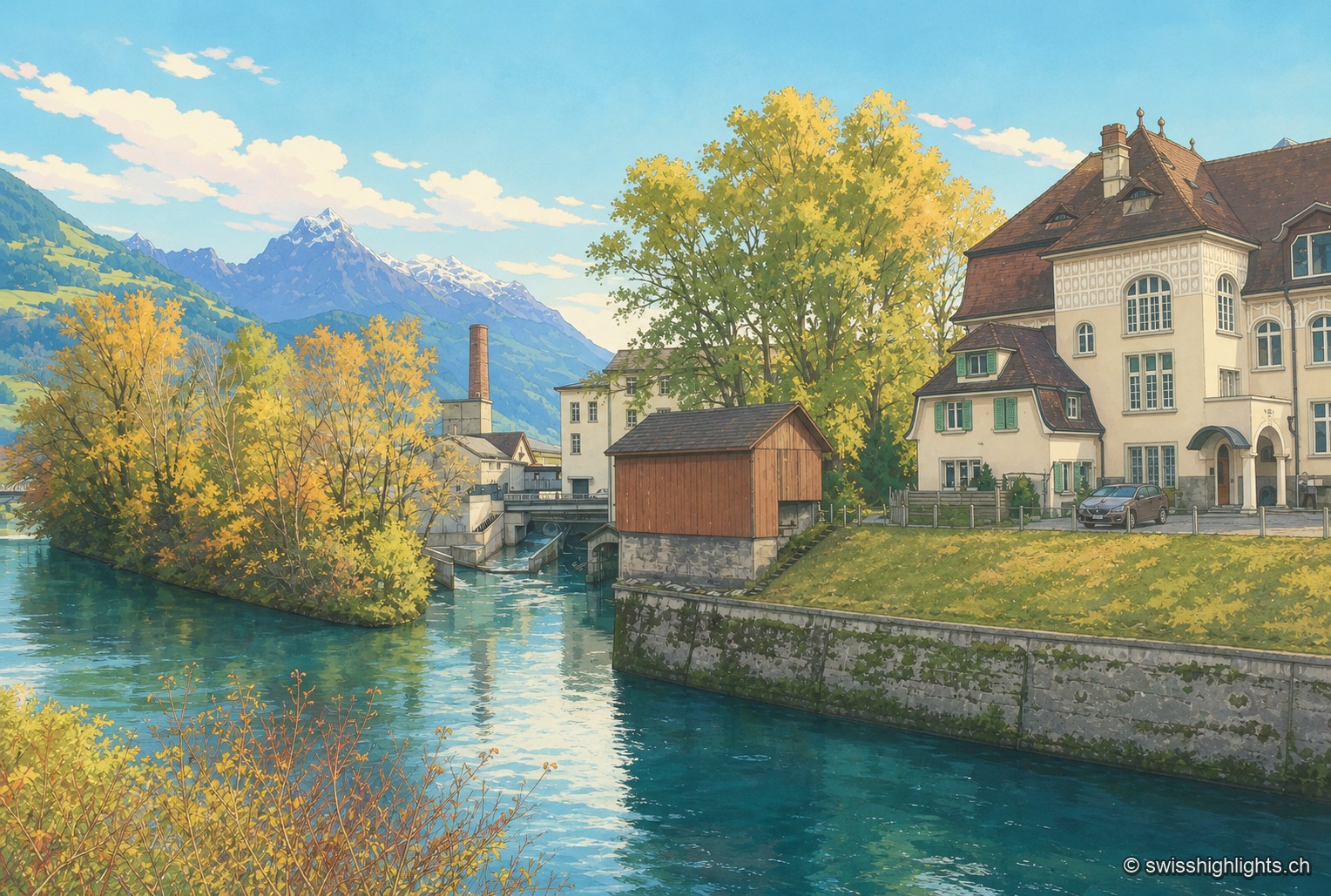
Village split by a canal · Glarus/SG · 23 km as the crow flies
Ziegelbrücke
The Linth Canal splits Ziegelbrücke in two: station and railway junction on the St. Gallen side, the Fritz & Caspar Jenny mill (1833), listed in the ISOS inventory, on the Glarus side.
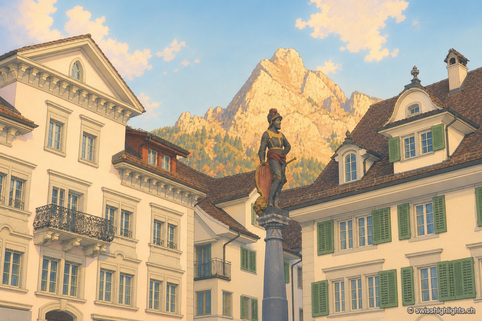
Capital below the Mythen · Schwyz · 24 km as the crow flies
Schwyz
The main square, one of the finest baroque squares in Switzerland, lies at the foot of the Grand Mythen (1899 m) and the Petit Mythen (1811 m). Schwyz has housed the Confederation's earliest archives since 1291.