Village split by a canal · Glarus/SG
Ziegelbrücke
A village split in two by the Linth Canal, the cantonal border between Glarus and St. Gallen, built around a mill founded in 1833 and a railway junction.
Ziegelbrücke, home to around 510 people, is split in two by the Linth Canal, which also forms the cantonal border: the north-eastern part, where the SBB railway station stands, belongs to the municipality of Schänis, in the canton of St. Gallen, while the south-western part lies in the canton of Glarus, within the municipality of Glarus Nord since 2011 — previously in the independent municipality of Niederurnen. On the St. Gallen side, only around 70 people live and work, most of them employed by SBB.
The place takes its name from a tile-roofed bridge, first recorded in 1532, which then crossed the Maag roughly where the present bridge over the Linth Canal stands. Before the Linth correction, carried out between 1807 and 1823, the Maag flowed here from Lake Walenstadt into the former Linth. The site, at this former confluence, was long a transshipment point and customs post on the waterway linking Walenstadt to Zürich; a Roman bronze statue of Mercury was uncovered here.
The heart of the village, on the Glarus side, is built around the Fritz & Caspar Jenny spinning, twisting and weaving mill, founded in 1833: the complete industrial ensemble — production and storage buildings, administration, workshops, a factory pond, a canal system, a power plant and chimney, together with workers' housing including the imposing boarding house built in 1861 by architect Hilarius Knobel — is listed in the federal inventory of built heritage sites (ISOS) as a site of national importance. Since 2012 the site has hosted a global coordination centre for the Danish brewery Carlsberg, which has employed around two hundred people since mid-2013; the cantonal vocational school of Glarus is also located here.
Ziegelbrücke station is a railway junction between the SBB line from Zürich to Chur and the regional line from Rapperswil to Linthal; Postauto lines and a local service connect it to Weesen, Amden, the communities of the Gasterland, and the localities of Bilten and Niederurnen.
Why this place is remarkable
Ziegelbrücke owes its shape to a canal that is at once a cantonal border and an industrial backbone: on one side the station that ties together the lines to Zürich, Chur and Rapperswil, on the other the Jenny mill founded in 1833, whose built ensemble — chimney, factory pond, workers' housing — is listed in the federal inventory of built heritage sites. The place's very name comes from a tile-roofed bridge recorded as early as 1532, at the exact spot where the canal is still crossed today.
History and origin
Before the Linth correction (1807-1823), a small stream, the Maag, flowed here from Lake Walenstadt toward the former Linth; a tile-roofed bridge, recorded as early as 1532, crossed the Maag at the spot now occupied by the bridge over the Linth Canal. The place, at this former confluence of the Linth and the Maag, was long a transshipment point and customs post on the Walenstadt-Zürich waterway; a Roman bronze statue of Mercury was found here.
What to do and see
- Spot the Linth canal, which is both the cantonal border between Glarus and St Gallen and the backbone of the village.
- See the industrial complex of the Jenny spinning mill, founded in 1833, with its chimney and mill pond.
- Place the bridge over the canal, on the site of a tile-roofed covered bridge attested from 1532.
- Observe the railway junction at the station, between the Zurich-Chur line and the Rapperswil-Linthal line.
Coming with family: what to know
- The village is crossed by a canal that separates two parts of the village, each in a different canton.
As a couple
- Follow the Linth canal, which cuts the village in two between two cantons.
- Stroll around the Jenny spinning mill of 1833 and its workers' houses.
Location
Loads an interactive Google Maps view on demand, from the place's verified coordinates.
The embedded map will be enabled once an authorized Google Maps key is configured. Use the link above in the meantime.
The map could not load. Check your connection or use the link above to open the place in Google Maps.
Related places

Former industrial village · Glarus · 11 km as the crow flies
Ennenda
2,684 inhabitants, a Gemeindehaus built like a palace in 1889-1890, the chocolate maker Läderach: Ennenda, merged into Glarus since 2011, was carried first by the slate-table trade, then by textiles.
Medieval small town · St Gallen · 20 km as the crow flies
Lichtensteig
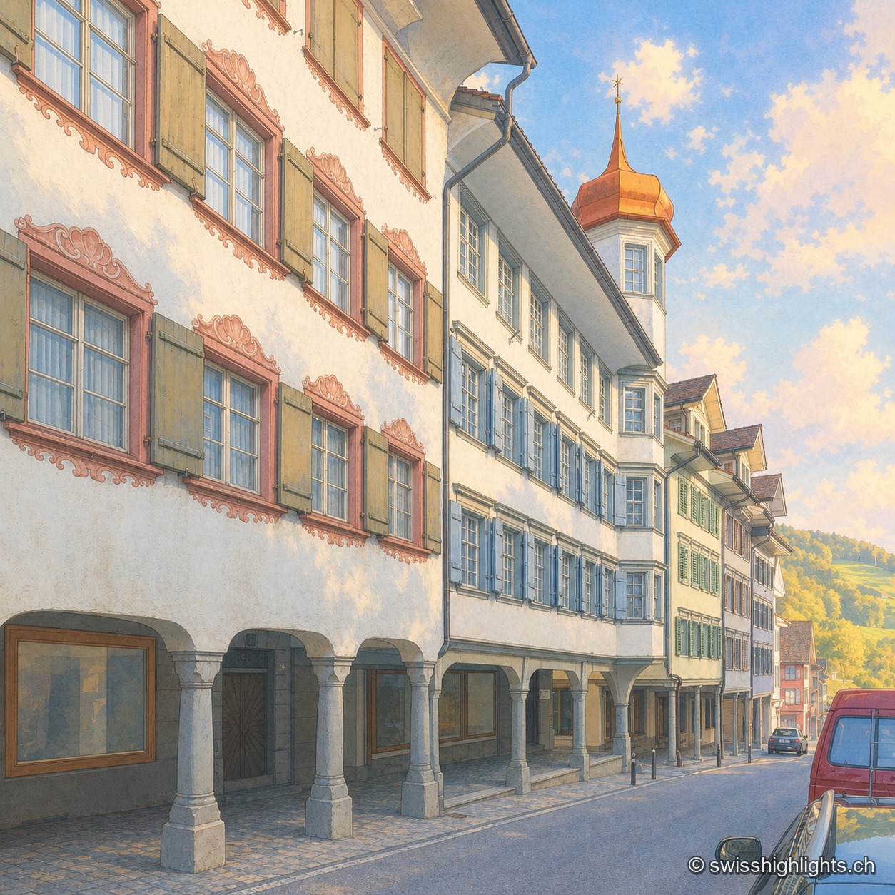
Recorded in 1228, the town gained charters of liberties from 1400. The county passed to the Abbey of St Gallen in 1468, which stationed its reeve there until 1798. Wakker Prize 2023, it joined Switzerland's Most Beautiful Villages in 2016.
Mountain village · St Gallen · 20 km as the crow flies
Hemberg
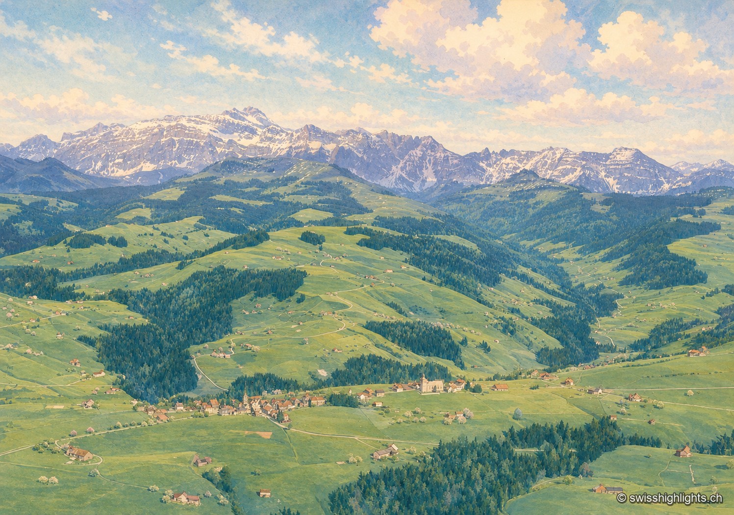
Made a parity village in 1526, Hemberg had Catholics and Protestants worship in the same building for two and a half centuries, until the two churches of 1779 and 1782. The place ranges from 709 to 1,139 metres.