Medieval town · Lake Biel
Erlach
A small fortified town in the Bernese Seeland, with a castle founded around 1100 by the Bishop of Basel, cradle of the patrician von Erlach family.
Erlach — Cerlier in French — is a commune in the canton of Bern, in the administrative district of Seeland, on the shore of Lake Biel. Its territory covers 3.51 km², of which 43.8% is farmland, 26.6% forest and 16.3% built-up area. The commune has 1,394 inhabitants as of 31 December 2024, a density of 397 per km²; its population grew by 11.5% between 2010 and 2019, more than the canton (6.1%) and the Swiss average (9.4%).
A village called Sunkort probably existed before the castle and the small town; the vineyards known as 'hinter Sunkort' and today's Amthausgasse are said to be its last traces. Since the year 1100, a castle has stood at Erlach, built by the Bishop of Basel, Bourcard de Fenis; his brother, the Bishop of Lausanne, Conon de Fenis, founded the Benedictine abbey of Saint-Jean-Baptiste around 1093-1103. Around 1117, an earthquake destroyed the Fenis family's original castle, after which they made Erlach castle their residence.
The lordship then passed to the Neuchâtel-Nidau branch, which received its charter of liberties in 1264-1266 under Rodolphe II, before falling to the House of Savoy in 1375. Erlach gave its name to the von Erlach family, a patrician dynasty that shaped Swiss history over several centuries.
The commune's built heritage includes Erlach castle and the Protestant church, remodelled by Abraham Dünz the Elder in 1680; Erlach has belonged since 2017 to the association of Switzerland's Most Beautiful Villages. Its natural heritage includes St Peter's Island — in fact a peninsula reachable on foot, by bicycle or by boat — and Jolimont hill, which overlooks Lake Biel. Federal Councillor Karl Scheurer, head of the military department from 1920 to 1929, was a citizen of Erlach.
Why this place is remarkable
Erlach owes its profile to its castle, raised around 1100 by the Bishop of Basel, Bourcard de Fenis, and turned into his family's residence after the earthquake that destroyed their original stronghold around 1117; it is from this place that the powerful patrician von Erlach family took its name. The town, a member since 2017 of the association of Switzerland's Most Beautiful Villages, looks out from Jolimont hill over St Peter's Island and Lake Biel.
History and origin
The lordship of Erlach, attested since the year 1100 around the castle built by the Bishop of Basel, Bourcard de Fenis, became a bailiwick after the town passed to the House of Savoy in 1375, which had already held suzerainty since 1265. In the meantime, Rodolphe II of Neuchâtel-Nidau had granted the town its charter of liberties in 1264-1266. The Benedictine abbey of Saint-Jean-Baptiste, founded around 1093-1103 by the Bishop of Lausanne, Conon de Fenis, Bourcard's brother, completes this high-medieval web of lordship and faith.
What to do and see
- See Erlach Castle, raised around 1100 by the Bishop of Basel Burkhard von Fenis and turned into his family's residence after the 1117 earthquake.
- Climb Jolimont hill for the view over St. Peter's Island, a peninsula reachable on foot, by bike or by boat, and over Lake Biel.
- Spot in the town the Protestant church transformed by Abraham Dünz the Elder in 1680, and remember that this village has been part of the Most Beautiful Villages of Switzerland since 2017.
As a couple
- Stroll through the fortified town around the castle founded by the von Fenis family, the origin of the name of Erlach's powerful patrician dynasty.
- From Jolimont hill, look together at Lake Biel and St. Peter's Island below.
- Combine the castle visit with that of the Protestant church remodelled in 1680, a few steps away.
Location
Loads an interactive Google Maps view on demand, from the place's verified coordinates.
The embedded map will be enabled once an authorized Google Maps key is configured. Use the link above in the meantime.
The map could not load. Check your connection or use the link above to open the place in Google Maps.
Related places
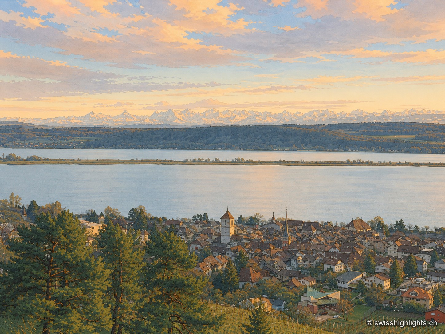
Medieval town · Lake Biel · 3 km as the crow flies
La Neuveville
Cobbled streets, fountains and coloured shutters between water and vines. The Schlossberg holds the cliff above the roofs; outside the walls, the Blanche-Église keeps frescoes from the 14th and 15th centuries.
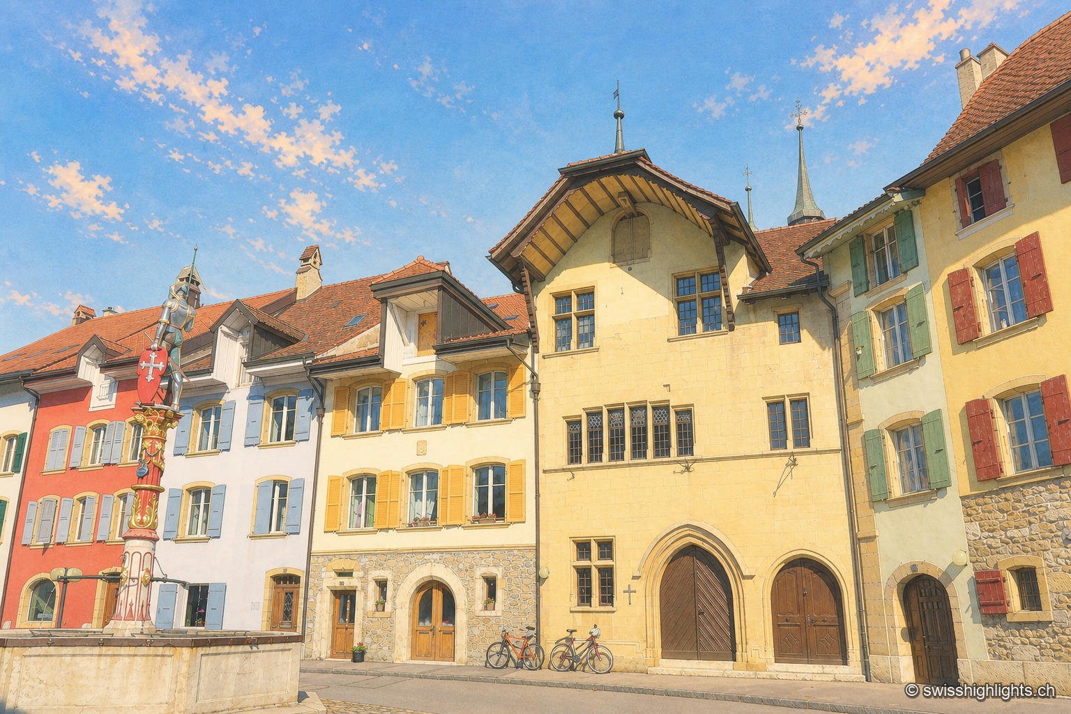
Fortified town · Neuchâtel · 3 km as the crow flies
Le Landeron
Catholic while the whole county of Neuchâtel turned Protestant between 1530 and 1562, Le Landeron owed its confessional enclave and its fortified town to the backing of its allies from Solothurn, bound by treaty since 1449.
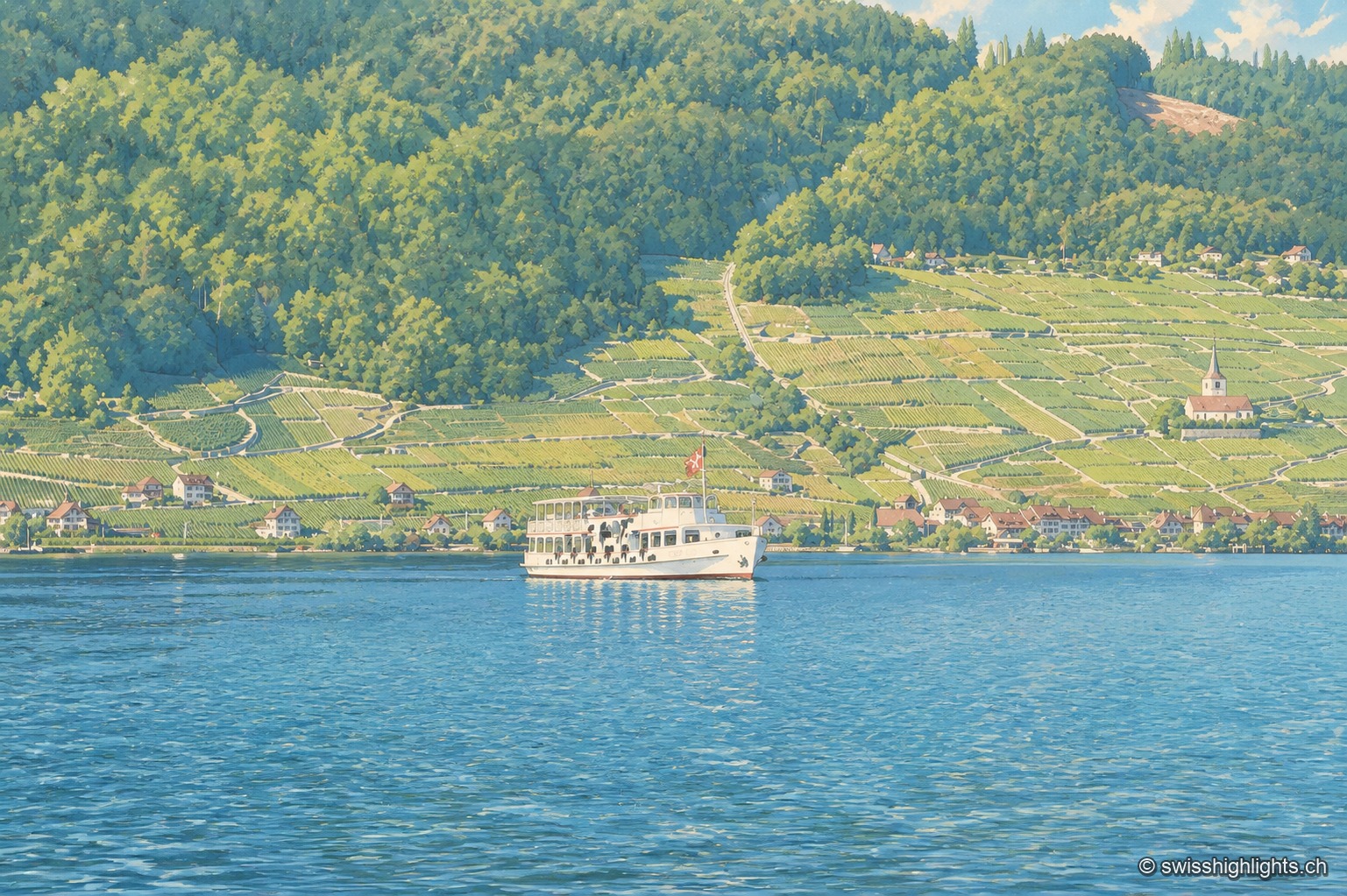
Lake at the foot of the Jura · Bern · 8 km as the crow flies
Lake Biel
39.3 km² of surface, 74 metres at its deepest, a catchment of 8,305 km² fed mainly by the Aare since 1878: Lake Biel is a landscape doubling as a piece of hydraulic engineering.