Medieval town · Lake Biel
La Neuveville
Between the Chasseral vineyards and Lake Biel, a medieval town watched over by the castle the bishop of Basel had built from 1283 to 1288.
La Neuveville leans on the south slope of the Chasseral and comes down to Lake Biel, between the vines and the water. The old town holds within a few parallel cobbled streets, lined with houses in coloured shutters and punctuated by fountains; the walls remain, the defensive towers, and a clock tower closing the perspective. Above, on a rocky shelf, the Schlossberg castle — built from 1283 to 1288 by the prince-bishop of Basel — commands the roofs. It all fits on one slope: from the lake, at 429 metres, to the place called Sur la Roche, at 926 metres.
The status of the place has long been ambiguous and still is. A village by size, it held the title of town under the agreement on the old towns, and it sits today in the Union of Swiss Cities without being a town in the sense of federal statistics. This small French-speaking place in a German-speaking canton hosts the Council of the Bernese Jura, the first regional parliament in Switzerland, whose 24 members are elected by the population of the French-speaking region of the canton of Bern. Outside the walls stands the Blanche-Église, whose building goes back to the 7th century; restored in 1984, it keeps frescoes from the 14th and 15th centuries.
The shore one walks along today did not exist a century and a half ago. The first correction of the Jura waters, carried out from 1868 to 1878, lowered the level of the lake: the periodic floods stopped, the pressure of the water on the banks eased — causing collapses at La Neuveville — and a band of new land, some 300 metres wide, appeared between the old town and the water. The drained shores yielded the remains of lake dwellings until then submerged, among them the station of Chavannes. The local doctor Victor Gross led excavations there; the purchase of his collection lies at the origin of the founding of the Swiss National Museum in Zurich.
Why this place is remarkable
Three things hold together here: a medieval enceinte still legible with its towers, the episcopal castle of 1283-1288 clinging above the town, and a shoreline entirely made by engineers between 1868 and 1878. To which a political function is added: La Neuveville is the seat of the Council of the Bernese Jura, the first regional parliament in Switzerland.
History and origin
From 1797 to 1815 La Neuveville belonged to France — first in the département of Mont-Terrible, then, from 1800, in that of Haut-Rhin; the Congress of Vienna assigned the former bishopric of Basel to the canton of Bern in 1815. The 19th century above all transformed the shore: the correction of the Jura waters, from 1868 to 1878, pushed the lake back and brought lake dwellings to light. Trade in objects picked up on the strand grew so brisk — some went as far as making fakes — that the Bernese authorities banned the collecting of antiquities in 1873.
What to do and see
- Walk the cobbled streets of the old town up to the clock tower, spotting the defense towers still standing in the walls.
- Climb to Schlossberg castle, built by the prince-bishop of Basel between 1283 and 1288, for the view over the rooftops.
- Walk to the shore of Lake Biel, on the strip of land that appeared after the Jura water correction of 1868 to 1878.
- Make a detour to the Blanche-Église, outside the walls, for its 14th- and 15th-century frescoes.
Coming with family: what to know
- The route lends itself to free walking between the fountains and the houses with colorful shutters, with no notable elevation gain mentioned in the descriptions.
As a couple
- A stroll through the cobbled lanes of the old town, between fountains and colorful facades.
- Schlossberg castle above the town, for a moment at height before heading back down toward the lake.
- The strip of shore reclaimed from the water since the 19th century, to follow as far as Lake Biel.
Location
Loads an interactive Google Maps view on demand, from the place's verified coordinates.
The embedded map will be enabled once an authorized Google Maps key is configured. Use the link above in the meantime.
The map could not load. Check your connection or use the link above to open the place in Google Maps.
Related places
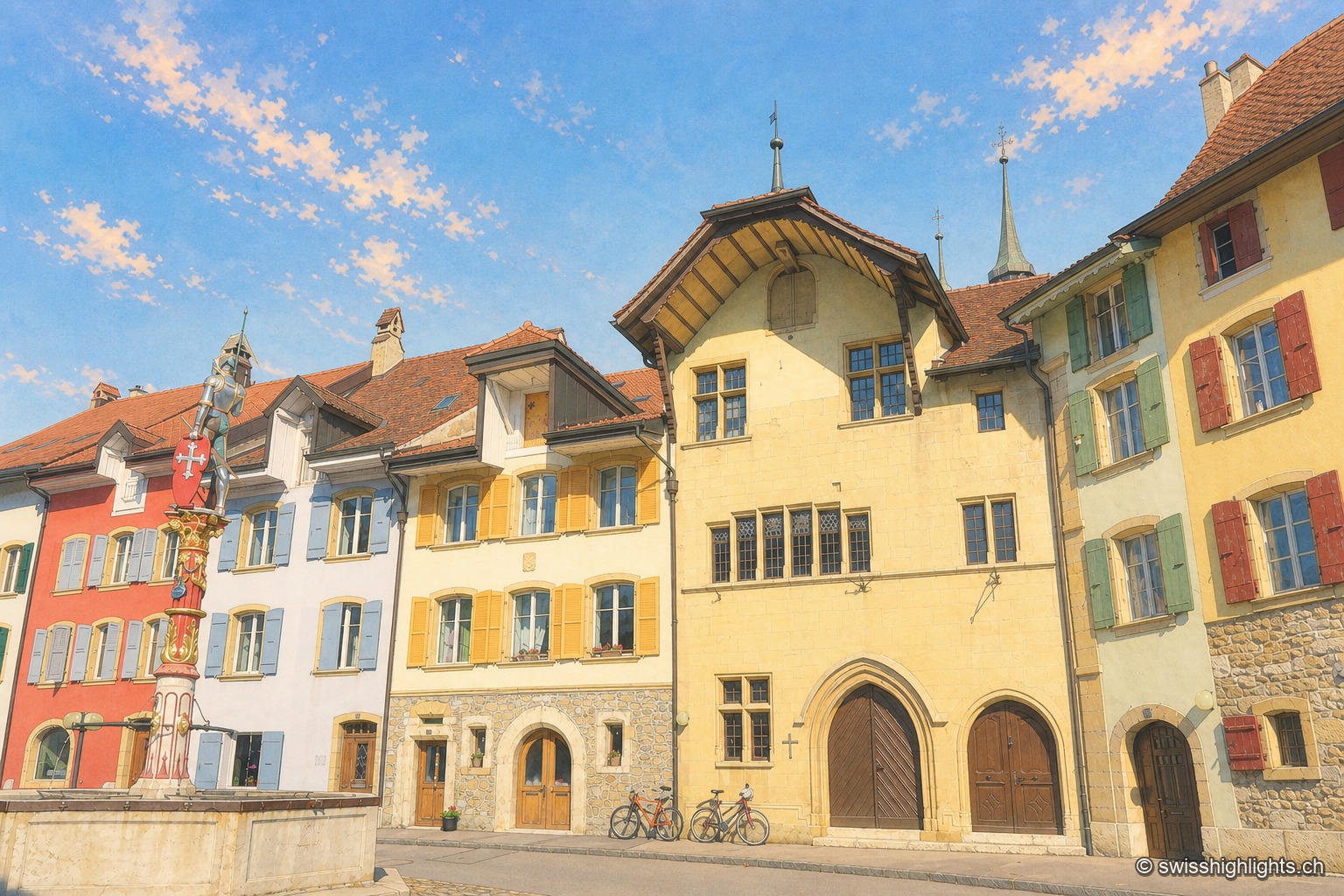
Fortified town · Neuchâtel · 2 km as the crow flies
Le Landeron
Catholic while the whole county of Neuchâtel turned Protestant between 1530 and 1562, Le Landeron owed its confessional enclave and its fortified town to the backing of its allies from Solothurn, bound by treaty since 1449.
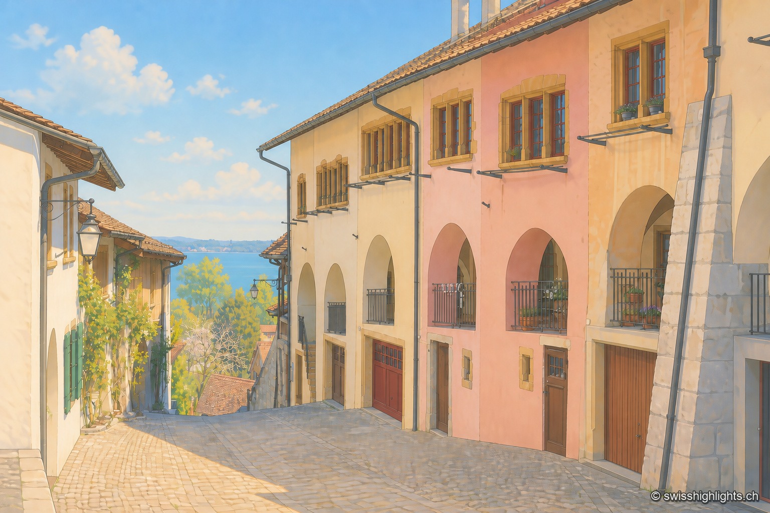
Medieval town · Lake Biel · 3 km as the crow flies
Erlach
The castle that has overlooked Erlach since the year 1100 gave its name to the patrician von Erlach family; the town, a member of Switzerland's Most Beautiful Villages since 2017, looks out from Jolimont hill toward St Peter's Island.
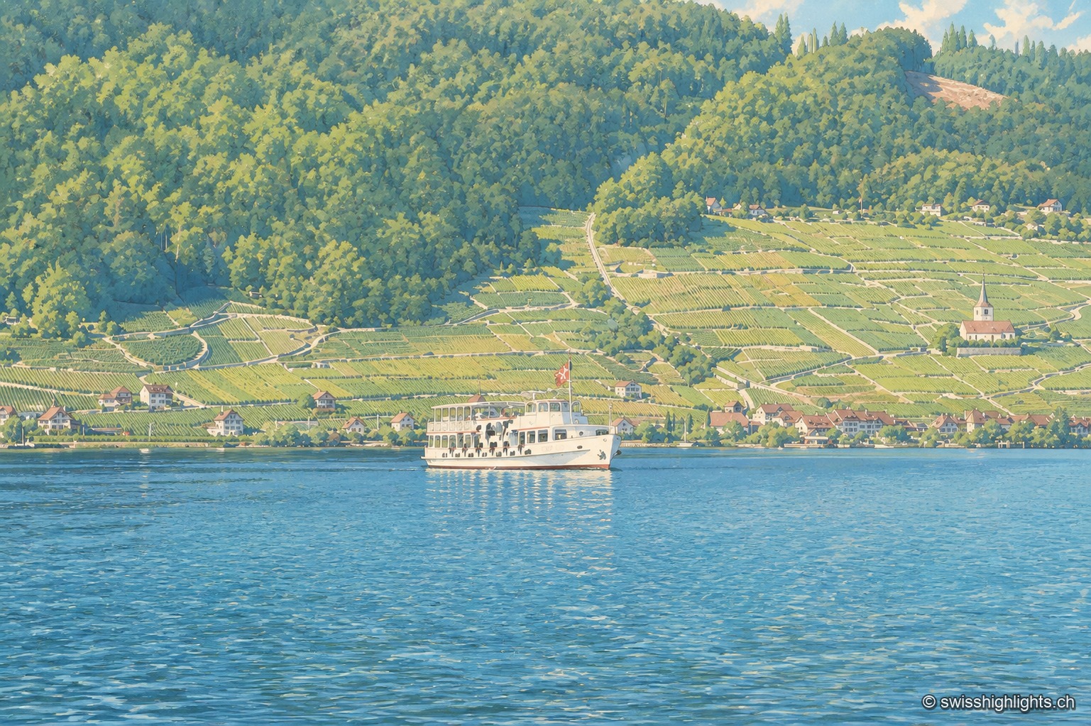
Lake at the foot of the Jura · Bern · 6 km as the crow flies
Lake Biel
39.3 km² of surface, 74 metres at its deepest, a catchment of 8,305 km² fed mainly by the Aare since 1878: Lake Biel is a landscape doubling as a piece of hydraulic engineering.