Lake at the foot of the Jura · Bern
Lake Biel
Fifteen kilometres of water at the foot of the Jura, at 429 metres, with St Peter's Island at its western end and Biel at its eastern tip.
Lake Biel is one of the three lakes strung along the foot of the Jura range. It stretches fifteen kilometres, 4.1 kilometres across at its widest, covers 39.3 km² and drops to 74 metres at its deepest, with a mean depth of 28.5 metres. Its surface normally stands at 429 metres; on 16 July 2021, after exceptional rain, it rose to 430.94 metres, the highest level ever measured.
The water is only passing through. The catchment covers 8,305 km², the mean inflow reaches 244 cubic metres per second, and the theoretical residence time of a drop is only 58 days. Since 1878 and the first Jura water correction, the Aare has flowed into the lake and become its main tributary; the Thielle, the Suze and the Douanne stream make up the rest. At the outlet, the Port dam controls the discharge, with 650 cubic metres per second under normal conditions; further down the valley, at the Murgenthal gauging station, the figure must never exceed 850 cubic metres per second, to spare Aargau from flooding.
The lake takes its name from Biel, the bilingual town at its eastern tip. At the other end, near Erlach, St Peter's Island keeps the memory of Jean-Jacques Rousseau, who took refuge there while fleeing his detractors; many years later, that stay produced the fifth walk of the Reveries of the Solitary Walker. A second, smaller island is called the Bird Island.
Fifteen communes line the water, from Biel and Nidau in the east to Erlach, Ligerz and Le Landeron in the west. Two of them are exceptions to the Bernese rule: La Neuveville is the only one in the Bernese Jura, and Le Landeron the only one in the canton of Neuchâtel, which borders the lake at its western end.
Why this place is remarkable
Lake Biel is not only a landscape, it is a piece of hydraulic engineering. Since 1878 the Aare has flowed into it instead of around it, and the outflow is controlled at the Port dam: 650 cubic metres per second under normal conditions, and never more than 850 cubic metres per second further down the valley, to spare Aargau from flooding. On 16 July 2021 exceptional rain pushed the surface to 430.94 metres. On the same stretch of water, an island keeps the memory of Jean-Jacques Rousseau, who found refuge there and drew from it the fifth of his Reveries.
History and origin
The lake belongs to the line of water along the foot of the Jura, and its regime was remade by human hand. The first Jura water correction, in 1878, diverted the Aare into the lake: since then the river has been its main tributary, and the level of the water depends on a regulation approved by the Federal Council. The basin thus gathered covers 8,305 km², out of all proportion to the 39.3 km² of the lake itself.
What to do and see
- Follow the fifteen kilometers of shoreline, between Biel at the eastern end and St. Peter's Island to the west.
- Reach St. Peter's Island, near Erlach, where Jean-Jacques Rousseau took refuge and drew the fifth walk of the Reveries.
- Spot the second, smaller island, called Bird Island.
- Observe, from the shores of La Neuveville or Le Landeron, the only two non-Bernese communes on the lake's shore.
As a couple
- A walk along the water toward St. Peter's Island, in Rousseau's footsteps.
- The contrast between Biel, a bilingual town at the eastern tip, and Erlach at the other end of the lake.
- The shore of La Neuveville, the only commune of the Bernese Jura bordering the lake.
Location
Loads an interactive Google Maps view on demand, from the place's verified coordinates.
The embedded map will be enabled once an authorized Google Maps key is configured. Use the link above in the meantime.
The map could not load. Check your connection or use the link above to open the place in Google Maps.
Related places
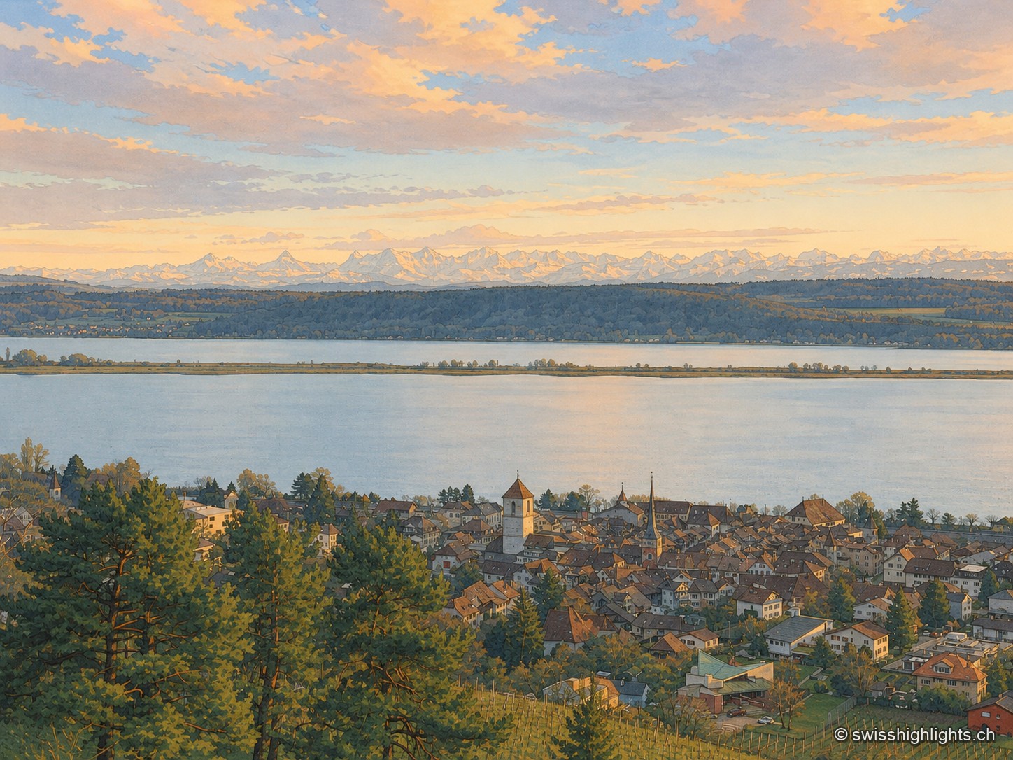
Medieval town · Lake Biel · 6 km as the crow flies
La Neuveville
Cobbled streets, fountains and coloured shutters between water and vines. The Schlossberg holds the cliff above the roofs; outside the walls, the Blanche-Église keeps frescoes from the 14th and 15th centuries.
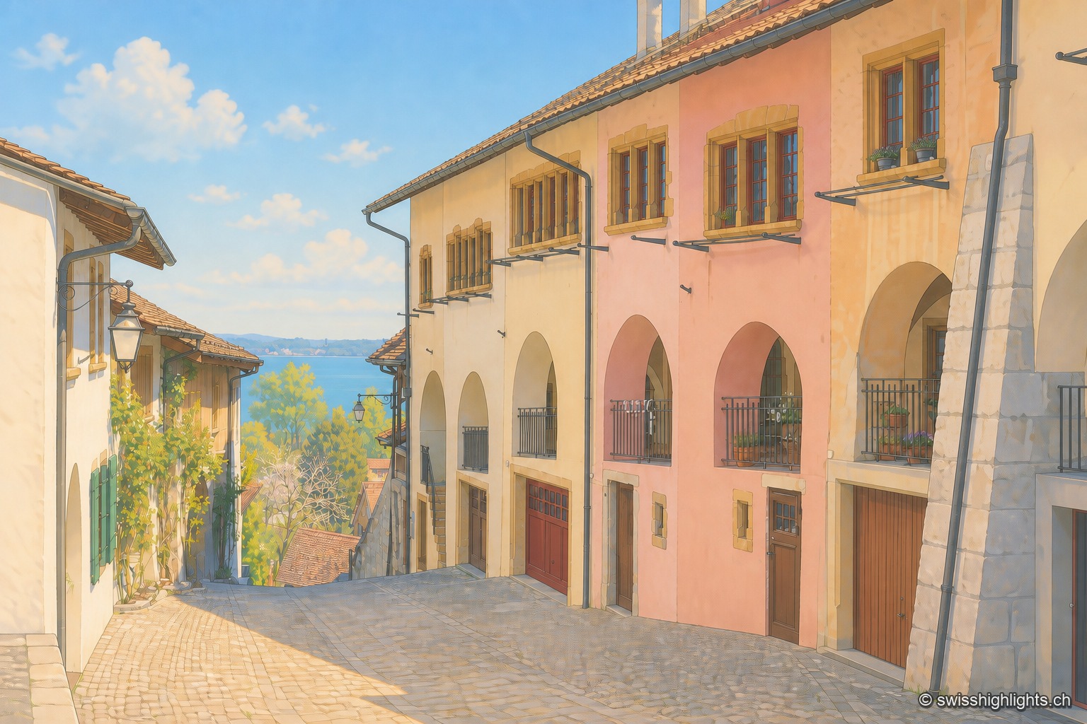
Medieval town · Lake Biel · 8 km as the crow flies
Erlach
The castle that has overlooked Erlach since the year 1100 gave its name to the patrician von Erlach family; the town, a member of Switzerland's Most Beautiful Villages since 2017, looks out from Jolimont hill toward St Peter's Island.
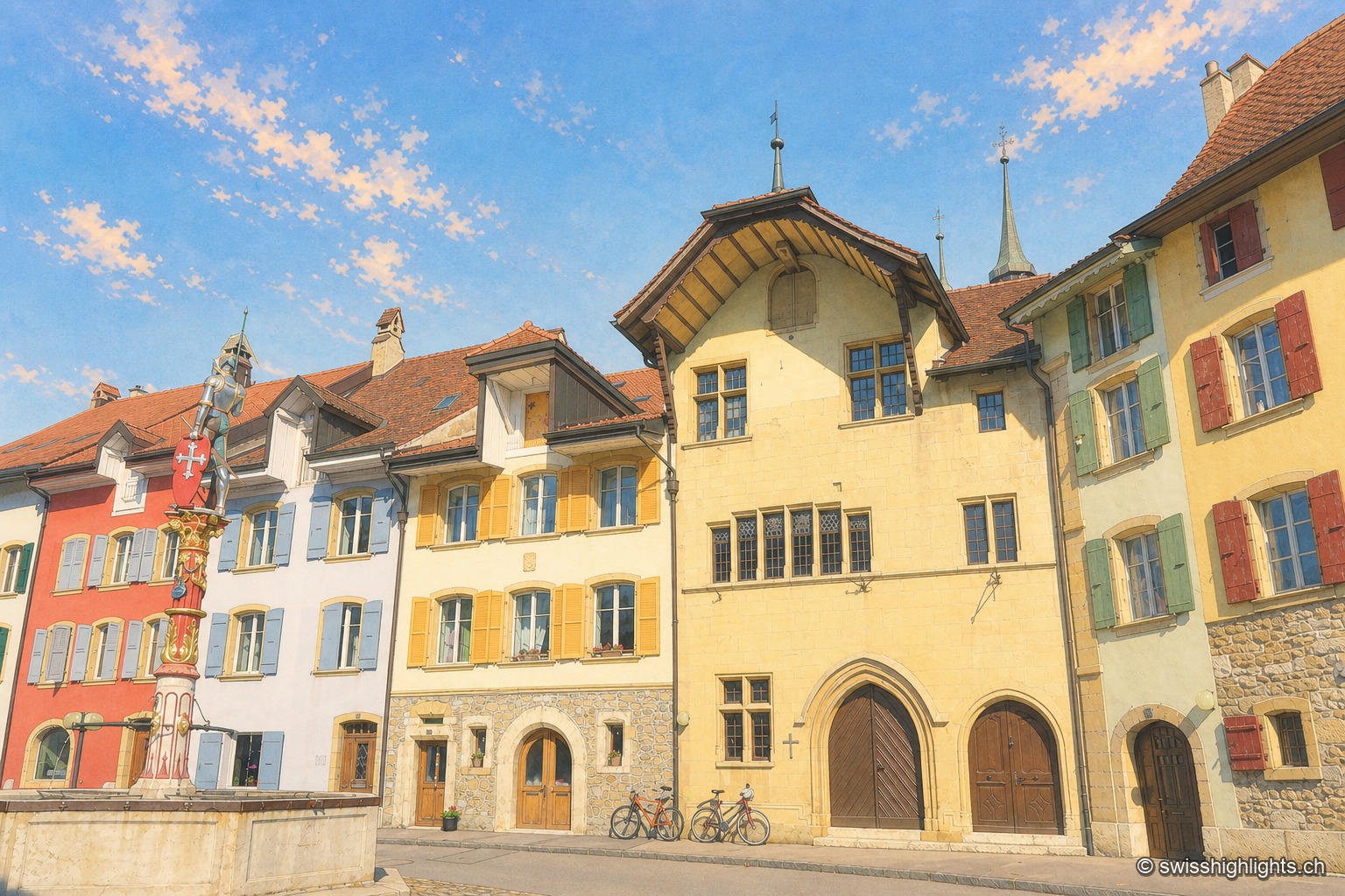
Fortified town · Neuchâtel · 9 km as the crow flies
Le Landeron
Catholic while the whole county of Neuchâtel turned Protestant between 1530 and 1562, Le Landeron owed its confessional enclave and its fortified town to the backing of its allies from Solothurn, bound by treaty since 1449.