Fortified town · Neuchâtel
Le Landeron
A fortified market town founded in 1325, the only commune of Neuchâtel on Lake Biel, listed among Switzerland's Most Beautiful Villages since 2016.
Le Landeron is a commune in the canton of Neuchâtel, in the Littoral region, and the only one in the canton bordering Lake Biel. It has 4,652 inhabitants as of 31 December 2024, a density of 451 inhabitants per square kilometre. Its territory covers 10.31 km², ranging from 429 m at the lakeshore to 1,055 m in the Serroue forest; 43.5% of its area is wooded, 39.7% farmland and 15.2% built-up. The commune borders Cressier, Lignières and Laténa on the Neuchâtel side, and La Neuveville, Gals and Cerlier on the Bernese side.
The name Le Landeron first appears in 1209, in writings of the Benedictine monastery of Erlach; the cluster of houses that preceded it was called Nugerol. The town was founded in 1325 by Rodolphe IV of Neuchâtel as the seat of a châtellenie with its own military organisation. In 1449 it signed a co-citizenship treaty with Solothurn that obliged it to supply soldiers to the allied town — 590 men fought under Solothurn's colours between 1523 and 1562 — in exchange for its protection.
That protection proved decisive during the Reformation: from 1530 to 1562, Le Landeron, together with Cressier, Lignières and Enges, remained the only Catholic communes in a canton of Neuchâtel that was converting, forming a confessional island that troubled relations among the Swiss cantons. Two fires, in 1751 and 1761, then destroyed many houses in the town. The commune merged with Combes in 1875 to form Landeron-Combes, then took back the name Le Landeron in 1966.
The town retains a built fabric close to its 14th-century layout: the town gate and its suburb, the Town Hall, the Chapel of the Ten Thousand Martyrs dated 1450, a castle, some twenty historic fountains and the church of Saint-Maurice. It has belonged since 2016 to the association of Switzerland's Most Beautiful Villages. The museum housed in the Town Hall displays cannons from the Battle of Murten, suits of armour and a model of the town as it looked in 1680.
Why this place is remarkable
Le Landeron owes its distinctiveness to religious resistance: the only commune of Neuchâtel, alongside Cressier, Lignières and Enges, not to turn Protestant between 1530 and 1562, it held its Catholic enclave thanks to the military backing of its allies from Solothurn, bound by the 1449 treaty. The resulting fortified town has kept its 14th-century layout, its gates, its twenty-odd fountains and façades dated to 1600.
History and origin
Before it was called Le Landeron, the place bore the name Nugerol; the place name 'Landeron' appears in 1209 in writings of the Erlach monastery. The town founded in 1325 by Rodolphe IV of Neuchâtel became the seat of a châtellenie. The co-citizenship treaty signed with Solothurn in 1449 secured it military protection in exchange for soldiers; this backing is what allowed Le Landeron, together with Cressier, Lignières and Enges, to remain Catholic through the thirty years in which the county of Neuchâtel turned to the Reformation (1530-1562). The commune, which became Landeron-Combes after merging with Combes in 1875, took back the name Le Landeron in 1966.
What to do and see
- Walk through the fortified town, close to its 14th-century layout, between the town gate, the Town Hall and the Chapel of the Ten Thousand Martyrs from 1450.
- Count the town's historic fountains, about twenty in all.
- See the castle and St. Maurice's church, then the Town Hall museum and its model of the town as it looked in 1680.
- Reach the shore of Lake Biel, of which Le Landeron is the only lakeside commune in the canton of Neuchâtel.
Coming with family: what to know
- The town fits within a tight perimeter, between the town gate and the Town Hall, with no indication of difficult terrain in the source.
As a couple
- A stroll between the historic fountains and the façades of the fortified town.
- The Town Hall museum, with its model of the town in 1680.
- The shore of Lake Biel, the only Neuchâtel outlet onto this body of water.
Location
Loads an interactive Google Maps view on demand, from the place's verified coordinates.
The embedded map will be enabled once an authorized Google Maps key is configured. Use the link above in the meantime.
The map could not load. Check your connection or use the link above to open the place in Google Maps.
Related places
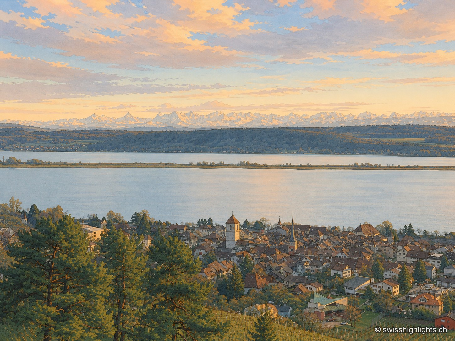
Medieval town · Lake Biel · 2 km as the crow flies
La Neuveville
Cobbled streets, fountains and coloured shutters between water and vines. The Schlossberg holds the cliff above the roofs; outside the walls, the Blanche-Église keeps frescoes from the 14th and 15th centuries.
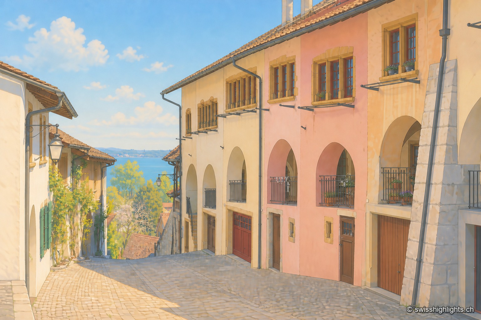
Medieval town · Lake Biel · 3 km as the crow flies
Erlach
The castle that has overlooked Erlach since the year 1100 gave its name to the patrician von Erlach family; the town, a member of Switzerland's Most Beautiful Villages since 2017, looks out from Jolimont hill toward St Peter's Island.
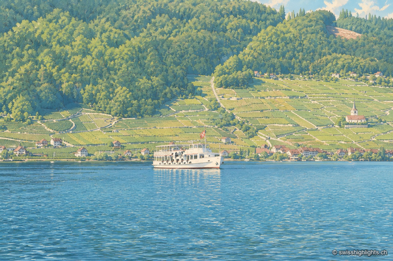
Lake at the foot of the Jura · Bern · 9 km as the crow flies
Lake Biel
39.3 km² of surface, 74 metres at its deepest, a catchment of 8,305 km² fed mainly by the Aare since 1878: Lake Biel is a landscape doubling as a piece of hydraulic engineering.