Lakeside village · Thurgau
Ermatingen
On the south shore of the Untersee, a Thurgau fishing village built on the largest delta of the lower lake, facing the island of Reichenau.
Ermatingen occupies the south shore of the Untersee, the western arm of Lake Constance, opposite the island of Reichenau. The village settled on the delta its stream, the Dorfbach, has been building since the last glaciation — the largest delta of the Untersee. From the water's edge, at about 396 metres, the commune rises to 613 metres on the Seerücken, the wooded ridge that closes it off to the south; the village itself sits at around 402 metres, its half-timbered houses turned towards the lake. Since 1 June 1975 Ermatingen and Triboltingen have formed a single commune of 3,748 inhabitants in 2023, listed in the federal inventory of built sites of national importance.
Fishing long sustained this shore, and the village still counts about half a dozen professional fishermen. Its most visible festival keeps the name: the Groppenfasnacht comes from the Groppe, a small fish that the drag net once brought in by the thousand and which has since become scarce. It falls on Laetare Sunday, three weeks before Easter, when the carnivals nearby have long since ended; every three years the great Groppe parade draws some 20,000 visitors. Local tradition traces the festival to 1415, during the Council of Constance: the antipope John XXIII, fleeing on 20 March, is said to have found shelter and a meal of Groppen in the village. Other versions see it first as a festival marking the opening of the fishing season.
Settlement of the shore is far older. The lakeside stations of Westerfeld and Büüge, first probed in 1861 and then studied from 1981 to 1983, yielded material of the Pfyn, Horgen and Corded Ware cultures, between 4000 and 2500 BC; drilling carried out in 2022 showed that the Büüge site, of national importance, covers about 3,000 square metres. The name of the place appears in writing in 724, as Erfmotingas, in the founding charter of Reichenau Abbey: Charles Martel gave the settlement to the monastery, and that tie to the far shore lasted, in one form or another, until 1798.
Why this place is remarkable
Ermatingen holds together two timescales rarely legible in one place: pile-dwelling villages excavated at Westerfeld and Büüge, between 4000 and 2500 BC, and a shore town whose calendar is still set by a fish. The Groppe gives its name to the carnival of Laetare Sunday, three weeks after the others; between the two lie a charter of 724 and a church shared by both confessions since 1546.
History and origin
The ground the village stands on is a delta: that of the Dorfbach, the largest on the Untersee, built up since the last glaciation over a molasse of micaceous sands carried from Bavaria and Alpine conglomerate, itself covered by moraine; the commune also holds the Graue Stein, the largest erratic boulder in Thurgau, left by the Rhine glacier. Written history begins with the donation of 724 to Reichenau Abbey; the army of the Swabian League burned much of the village in 1499, market rights were obtained in 1660, and the church has been used jointly by Reformed and Catholic congregations since 1546.
What to do and see
- Follow the shore of the Untersee to the Dorfbach delta, the largest of this arm of Lake Constance, facing the island of Reichenau.
- Spot the Graue Stein, the largest erratic boulder in Thurgau, deposited by the Rhine glacier.
- See the half-timbered houses of the fishing village, facing the lake, and the church shared by Protestants and Catholics since 1546.
As a couple
- Walk along the Untersee at sunset, facing the island of Reichenau.
- Search together for the Graue Stein, the largest erratic boulder in Thurgau, deposited by the Rhine glacier.
- Stop at the church shared since 1546 between Protestants and Catholics, a stone's throw from the fishermen's houses.
Location
Loads an interactive Google Maps view on demand, from the place's verified coordinates.
The embedded map will be enabled once an authorized Google Maps key is configured. Use the link above in the meantime.
The map could not load. Check your connection or use the link above to open the place in Google Maps.
Related places

Seerhein village · Thurgau · 4 km as the crow flies
Gottlieben
The village was fortified in 1251 by bishop Eberhard von Waldburg. Its castle served as a prison: Jan Hus and antipope John XXIII were shut up there in 1415, during the Council of Constance.
Rhine town · Thurgau · 25 km as the crow flies
Diessenhofen
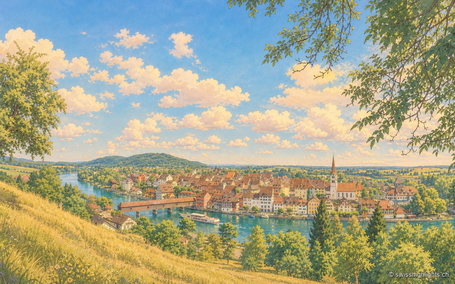
Raised to town status in 1178 by the counts of Kyburg, Diessenhofen has kept its medieval street plan, its Seal Tower with a zodiac dial, and its covered wooden bridge across the Rhine into Germany.
Weinland town · Zurich · 31 km as the crow flies
Andelfingen
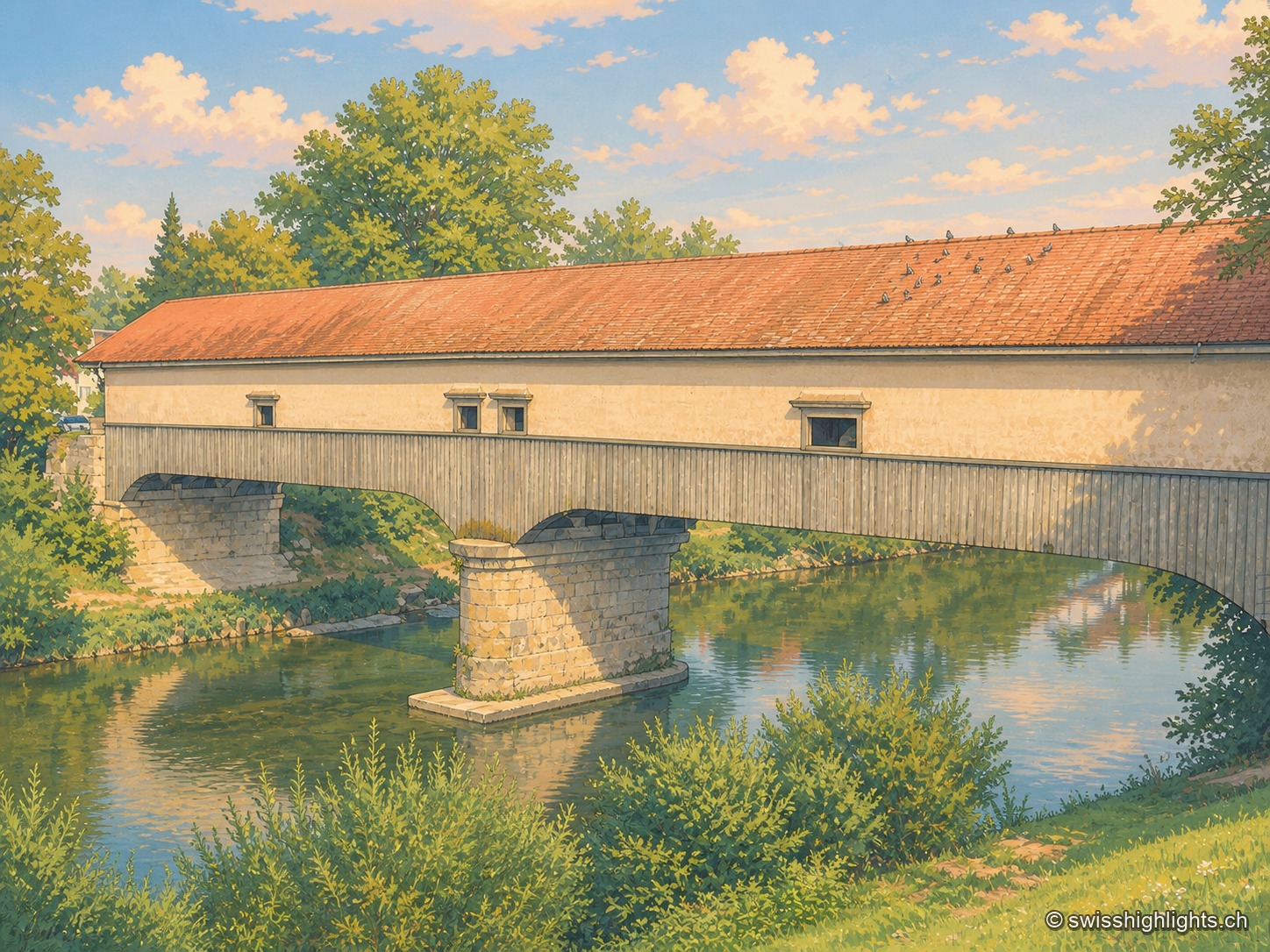
Recorded in 1248, Andelfingen commanded one of the few crossings of the Thur: a toll, a bridge already widened in 1324, destroyed in 1799 and rebuilt in wood in 1814-1815. The town keeps a castle of 1780-1782 and a chancellery of 1697.