Protected raised bog · Jura
Étang de la Gruère
A pond dug in the 17th century for a mill, today ringed by a protected raised bog in the Franches-Montagnes.
The Étang de la Gruère is not a natural lake: it was dug in the 17th century, in the municipality of Saignelégier, to drive a grain mill. It measures about five hundred metres long by sixty wide, does not exceed four and a half metres in depth, and lies at 998 metres above sea level. What surrounds it is far older than the pond itself: a raised bog of 56 hectares, where peat has settled to a thickness of nine metres over twelve thousand years, and from which fuel was extracted until 1943.
The reserve today covers more than 120 hectares and is listed in five federal inventories for the protection of nature and landscape; Pro Natura takes part in its management alongside the canton of Jura. The sphagnum mosses that build the bog live there beside species rare in Switzerland, whose affinity with the Siberian tundra Pro Natura points out; pike, perch, carp and tench, by contrast, were introduced by people. A laid-out path runs around the pond.
Why this place is remarkable
The contrast holds in a single place: an artificial pond three centuries old set in the middle of a peat bog twelve thousand years old, whose nine metres of peat archive the region's climate.
History and origin
Artificial pond dug in the 17th century to drive a grain mill. The raised bog around it formed over some twelve thousand years, with peat accumulating to nine metres in thickness; peat was taken there as fuel until 1943. The site is protected — from 1943 according to the canton of Jura, by a decree of 5 February 1980 according to Wikipedia — and falls under five federal inventories; the reserve exceeds 120 hectares, of which 56 are raised bog.
What to do and see
- Follow the developed trail that circles the pond, dug in the 17th century to power a grain mill.
- Observe the surrounding raised bog, where peat has accumulated to a depth of nine metres over twelve thousand years.
- Spot the sphagnum mosses and rare species that Pro Natura likens to the Siberian tundra.
Coming with family: what to know
- The raised bog is fragile: stay on the developed trail without entering the peat bog, where trampling destroys the vegetation (Pro Natura).
As a couple
- Circle the pond via the developed trail, between the water dug by hand in the 17th century and the twelve-thousand-year-old peat bog.
- Observe the surface of the pond, which does not exceed four and a half metres in depth, from its banks at 998 metres altitude.
- Search together for the sphagnum species that Pro Natura links to the Siberian tundra.
The raised bog is fragile: do not leave the laid-out path or enter the peat bog, where trampling destroys the vegetation (Pro Natura, consulted on 6 August 2026).
Picking plants and fruit there is prohibited (Republic and Canton of Jura, consulted on 6 August 2026).
Picking plants and fruit is prohibited there (Republic and Canton of Jura).
Location
Loads an interactive Google Maps view on demand, from the place's verified coordinates.
The embedded map will be enabled once an authorized Google Maps key is configured. Use the link above in the meantime.
The map could not load. Check your connection or use the link above to open the place in Google Maps.
Related places
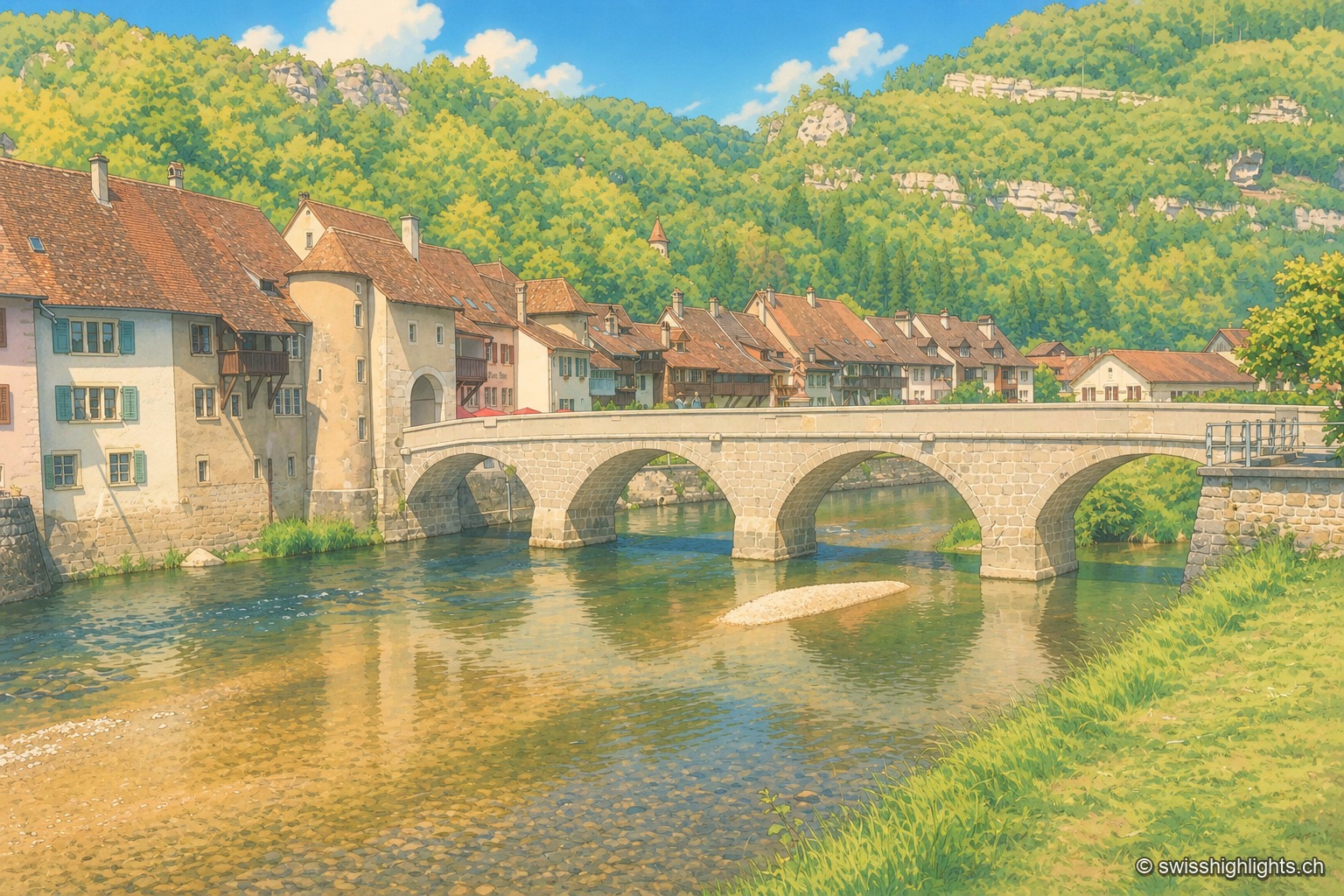
Medieval small town · Jura · 16 km as the crow flies
Saint-Ursanne
Born around a Benedictine abbey, it keeps its Romanesque collegiate church, its cloister and burgher houses from the 14th to the 16th century. At 440 metres, between wooded cliffs and river, it left its isolation only in 1877.
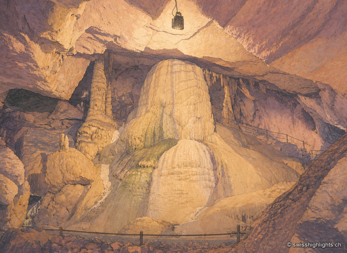
Show cave · Jura · 17 km as the crow flies
Grottes de Réclère
A pit that farmers called the 'Trou du Fahy' and used as a dump, revealed by the regional press in 1889: the Grottes de Réclère formed by collapse in a Jurassic limestone about 155 million years old.
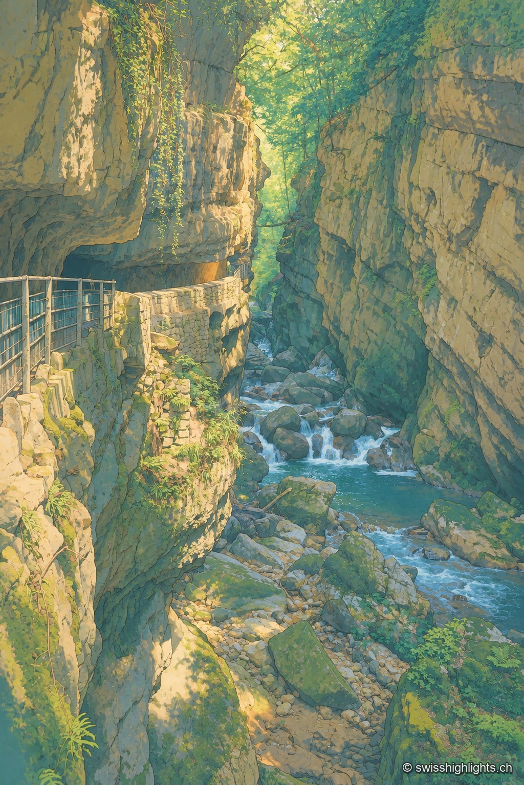
Limestone gorge · Biel, Bern · 19 km as the crow flies
Gorges de la Suze
A footpath was laid out there in 1889; the gorge was placed under partial nature protection from 1927. The name Taubenloch, attested since 1532, remains of uncertain origin despite several competing explanations.