Medieval small town · Jura
Saint-Ursanne
A medieval small town set in a bend of the Doubs, behind three stone gates and in front of a four-arched bridge dated 1728.
Saint-Ursanne sits in a bend of the Doubs, at 440 metres, where the river, after cutting north-eastwards into the Jura range, changes direction abruptly. The old town is entered through three stone gates — Saint-Paul to the west, Saint-Pierre to the east, Saint-Jean to the south — and over a four-arched bridge built in 1728, whose parapet carries a sandstone statue of Saint John of Nepomuk, patron of bridges. Inside, the built fabric has changed very little over the last centuries: most of the burgher houses date from the 14th to the 16th century.
The core of the town is monastic. An abbey founded by Benedictines left a Romanesque collegiate church of the 12th century and its cloister. The south portal, in Burgundian Romanesque style, is dated to around the year 1200; the encyclopaedic sources consulted rank it among the most remarkable of its kind in Switzerland. Above the roofs, a hermitage set in a cave is reached by a steep stair of 180 steps: legend has it that it sheltered Ursanne, a hermit from Ireland who died in the 7th century, and whose name stayed with the town.
Saint-Ursanne long lived apart. It came out of that in 1877, when the railway linking France to Switzerland opened between Delémont and Porrentruy, at the cost of several tunnels and a viaduct; the A16 motorway, the Transjurane, would later complete the opening up. On 1 January 2009 the locality ceased to be a commune of its own: it merged with Épauvillers, Épiquerez, Montenol, Montmelon, Ocourt and Seleute to form Clos du Doubs. It joined the association of the Most Beautiful Villages of Switzerland in 2017 and received the Best Tourism Villages label of the World Tourism Organization in 2023.
Why this place is remarkable
Everything happens within a few hundred metres: three gates, a cloister, a Romanesque collegiate church, a bridge of 1728 and the wooded cliff that closes the bend of the river. The centre has changed very little over the last centuries, which is rare for a small town that has stayed inhabited and long stood apart — the railway reached it only in 1877.
History and origin
The Doubs cut its way deep into the Jura range along a north-eastern axis before turning aside at Saint-Ursanne: that elbow gave the town its ground. Human history here was less peaceful. A castle of the 12th century commanded the site; a gate, a tower and a few stretches of wall are all that remain. Passed from the prince-bishop of Basel to various owners after the lords of Saint-Ursanne died out, it housed a French and Scottish garrison during the Thirty Years' War, which the population massacred in 1634. The town also owes part of its monuments to the Asuel family, a junior branch of the lords of Montfaucon, which gave one bishop to Basel and another to Strasbourg at the end of the 12th century.
What to do and see
- Enter the old town through one of the three stone gates, Saint-Paul, Saint-Pierre or Saint-Jean.
- Cross the four-arch bridge of 1728 with its sandstone statue of Saint John Nepomuk.
- Visit the 12th-century Romanesque collegiate church and its cloister, with the Burgundian Romanesque south portal dated around 1200.
- Climb to the hermitage set in a cave above the town, linked to the legend of the hermit Ursanne, who died in the 7th century.
Coming with family: what to know
- The hermitage is reached by a steep stairway of 180 steps.
As a couple
- Follow the loop of the Doubs from the 1728 bridge to the wooded cliff that closes it off.
- Stop in front of the collegiate church's south portal, dated around 1200, one of the finest of this style in Switzerland.
- Climb together to the hermitage via the 180 steps for the view over the river's loop.
- Wander the streets where most of the burgher houses date from the 14th to the 16th century.
The hermitage, set in a cave above the town, is reached by a steep stair of 180 steps.
Location
Loads an interactive Google Maps view on demand, from the place's verified coordinates.
The embedded map will be enabled once an authorized Google Maps key is configured. Use the link above in the meantime.
The map could not load. Check your connection or use the link above to open the place in Google Maps.
Related places
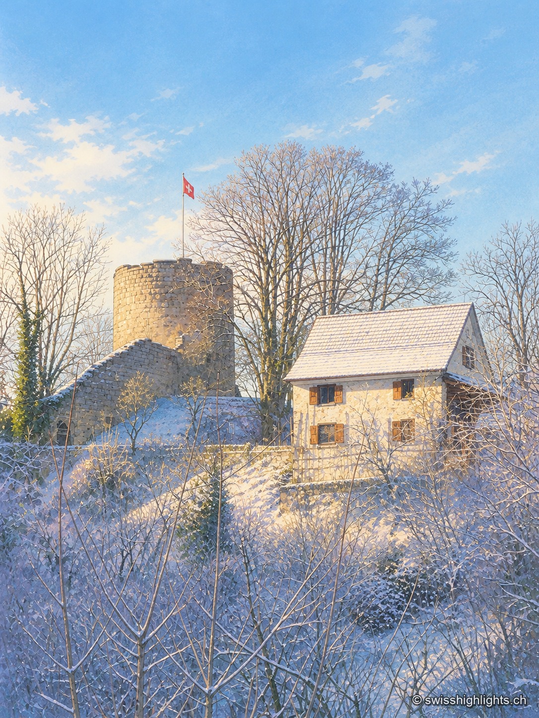
Castle village · Ajoie · 7 km as the crow flies
Pleujouse
At 580 metres, between forested heights, Pleujouse amounts to one street. The village formed around its fortress, which passed to the bishopric of Basel at the end of the 14th century and was rebuilt after the fire of 1980.
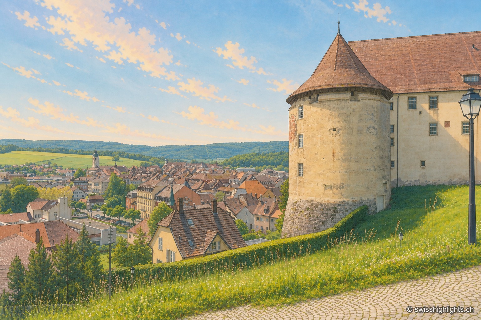
Town · Ajoie, canton of Jura · 8 km as the crow flies
Porrentruy
Driven from Basel by the Reformation, the prince-bishops settled in Porrentruy after 1528; their supposedly provisional residence lasted until 1828. Castle, Jesuit college, hôtel-Dieu and stone fountains still hold its measure.
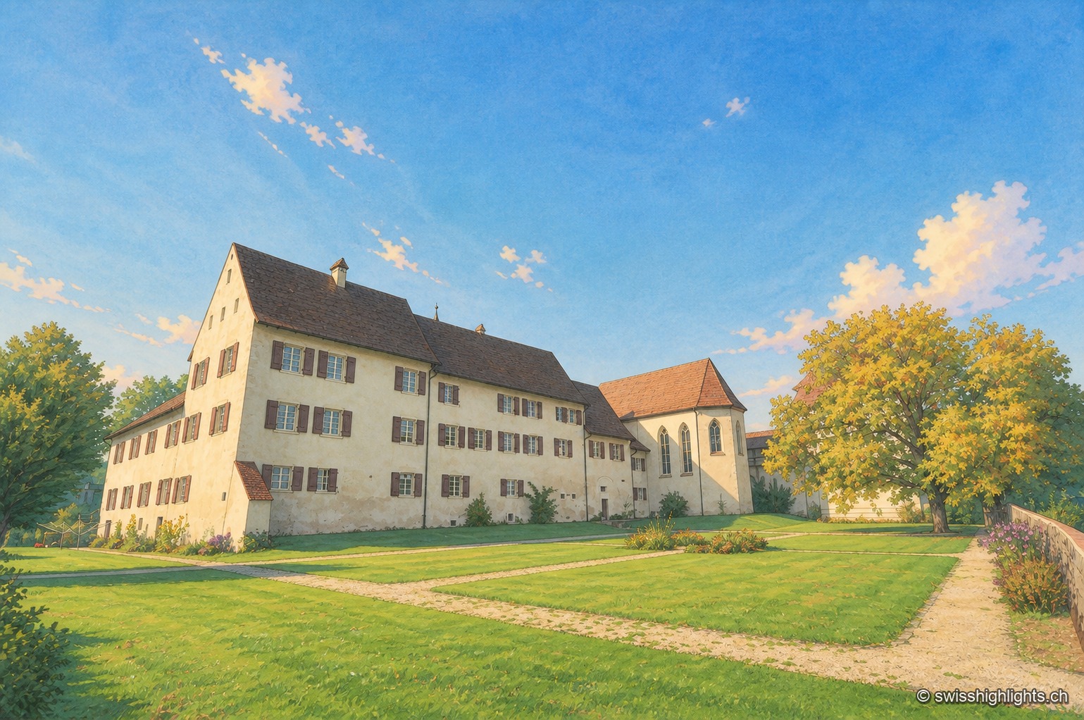
Hamlet and ruin · Jura · 14 km as the crow flies
Löwenburg
The hamlet of Löwenburg, the only German-speaking part of the commune of Pleigne, combines a castle ruin founded in the 10th century with a 16th-century fortified farm; the Christoph Merian Foundation of Basel has restored it since 1956.