Show cave · Jura
Grottes de Réclère
A network of caves nearly a kilometre and a half long, right on the French border, born 5 to 6 million years ago in the limestone of the Jura.
The Grottes de Réclère form an underground network located on the western outskirts of Porrentruy, in the Jura massif, right against the Franco-Swiss border; they extend nearly a kilometre and a half. They are hollowed out near a pass at 658 m, at the top of an advanced fold of the Jura massif that continues into the Lomont; this fold, running west to east, is wedged between the Doubs valley to the south and the Réclère valley to the north.
The caves result from the collapse of a primitive cavity, dug during the folding of the Jura at the start of the Pliocene, about 5 to 6 million years ago, through the corrosive action of surface water infiltrating the soft, heavily fractured limestones of the Rauracian — an Upper Jurassic stage about 155 million years old.
The regional press made the site's existence public in 1889. Local farmers, however, had long known of it: they had nicknamed this pit the 'Trou du Fahy' and used it as a dump, throwing in the carcasses of their domestic animals.
Why this place is remarkable
The Grottes de Réclère extend nearly a kilometre and a half beneath a Jura fold pinched between the Doubs valley and the Réclère valley, right on the French border — a void born 5 to 6 million years ago when infiltrating water ate through a soft, fractured limestone 155 million years old. Long known only to local farmers, who threw their dead livestock into it under the name 'Trou du Fahy', the site was not revealed by the regional press until 1889.
History and origin
The caves result from the collapse of a primitive cavity, dug during the folding of the Jura at the start of the Pliocene, about 5 to 6 million years ago, through the corrosive action of surface water infiltrating the soft, heavily fractured limestones of the Rauracian, an Upper Jurassic stage about 155 million years old. The regional press made the site's existence public in 1889; local farmers, however, had long known it under the name 'Trou du Fahy', a pit that served them as a dump for the carcasses of their domestic animals.
What to do and see
- Walk through the underground network of nearly a kilometre and a half, carved into Rauracian limestone.
- Observe the shapes born from the collapse of an original cavity dating from the early Pliocene, 5 to 6 million years ago.
- Take in the location near the pass at 658 metres altitude, right by the Franco-Swiss border.
As a couple
- Discover an underground network long known only to local farmers, who called it the 'Trou du Fahy'.
- Imagine the infiltration waters that ate away, 5 to 6 million years ago, this soft, fractured limestone.
- Combine the visit with the immediate proximity of the French border, a stone's throw from Porrentruy.
Location
Loads an interactive Google Maps view on demand, from the place's verified coordinates.
The embedded map will be enabled once an authorized Google Maps key is configured. Use the link above in the meantime.
The map could not load. Check your connection or use the link above to open the place in Google Maps.
Related places
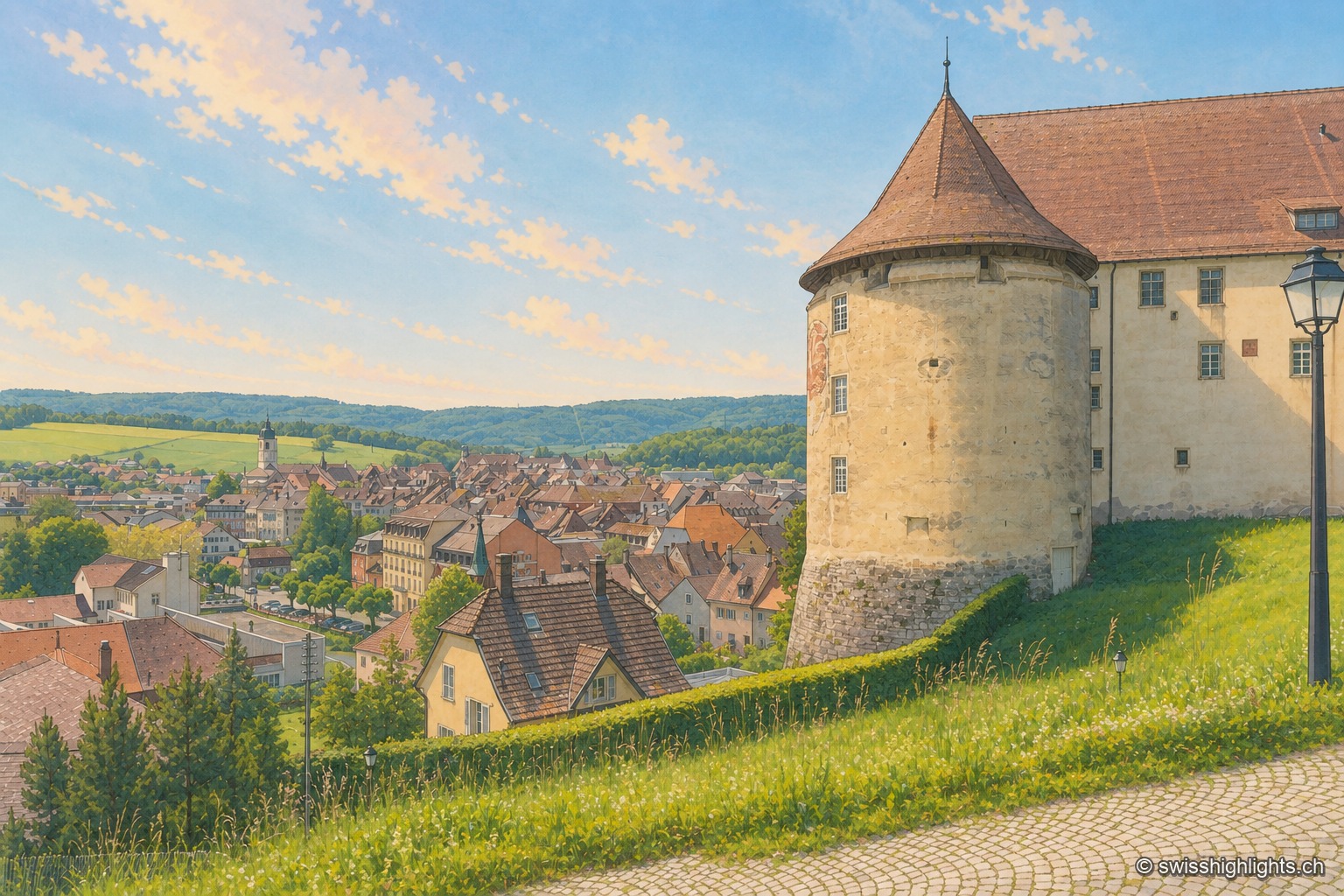
Town · Ajoie, canton of Jura · 14 km as the crow flies
Porrentruy
Driven from Basel by the Reformation, the prince-bishops settled in Porrentruy after 1528; their supposedly provisional residence lasted until 1828. Castle, Jesuit college, hôtel-Dieu and stone fountains still hold its measure.
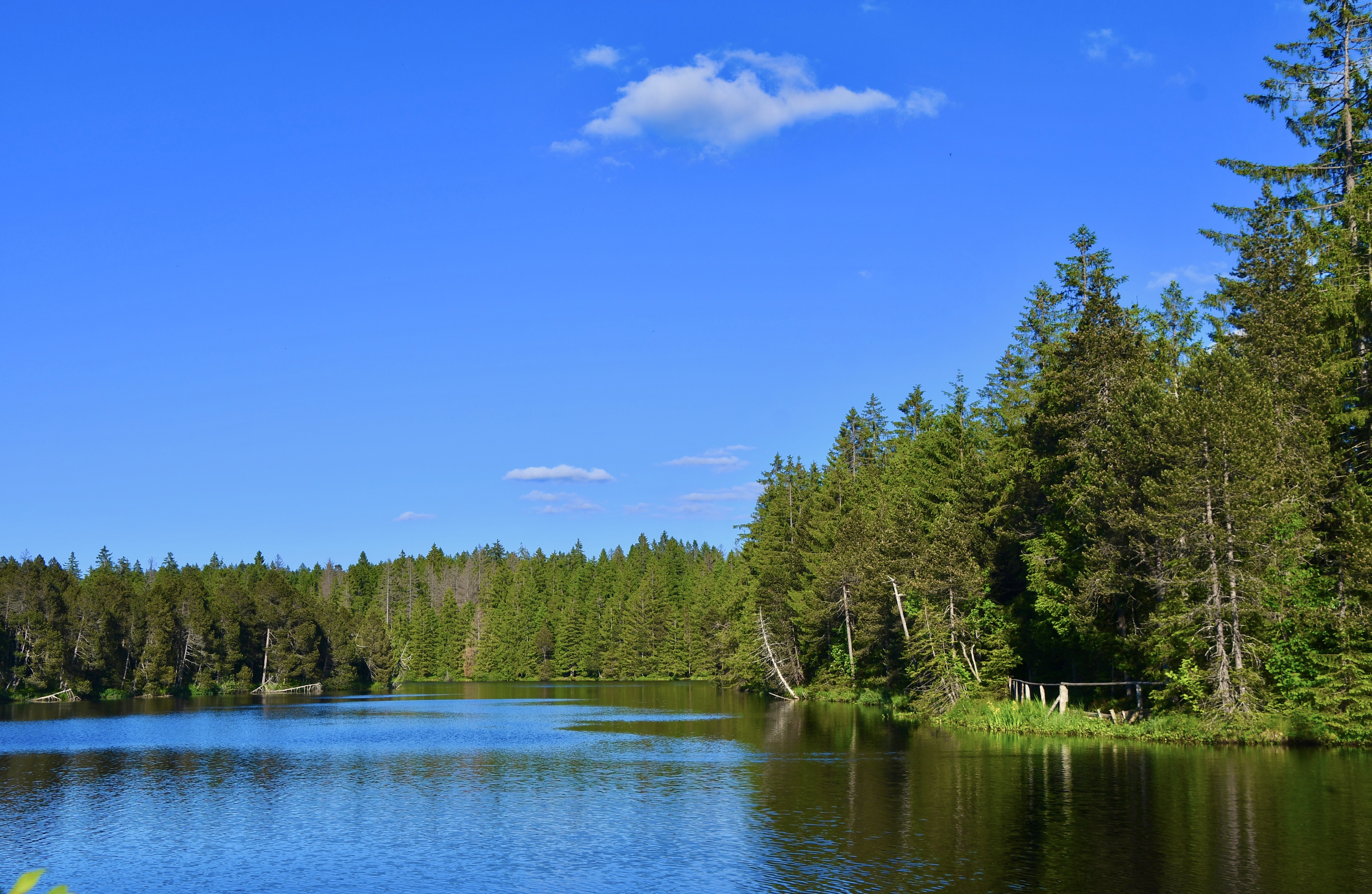
Protected raised bog · Jura · 17 km as the crow flies
Étang de la Gruère
At 998 metres, in the municipality of Saignelégier, a body of water five hundred metres long bordered by a 56-hectare peat bog, where peat has built up to nine metres thick over twelve thousand years.
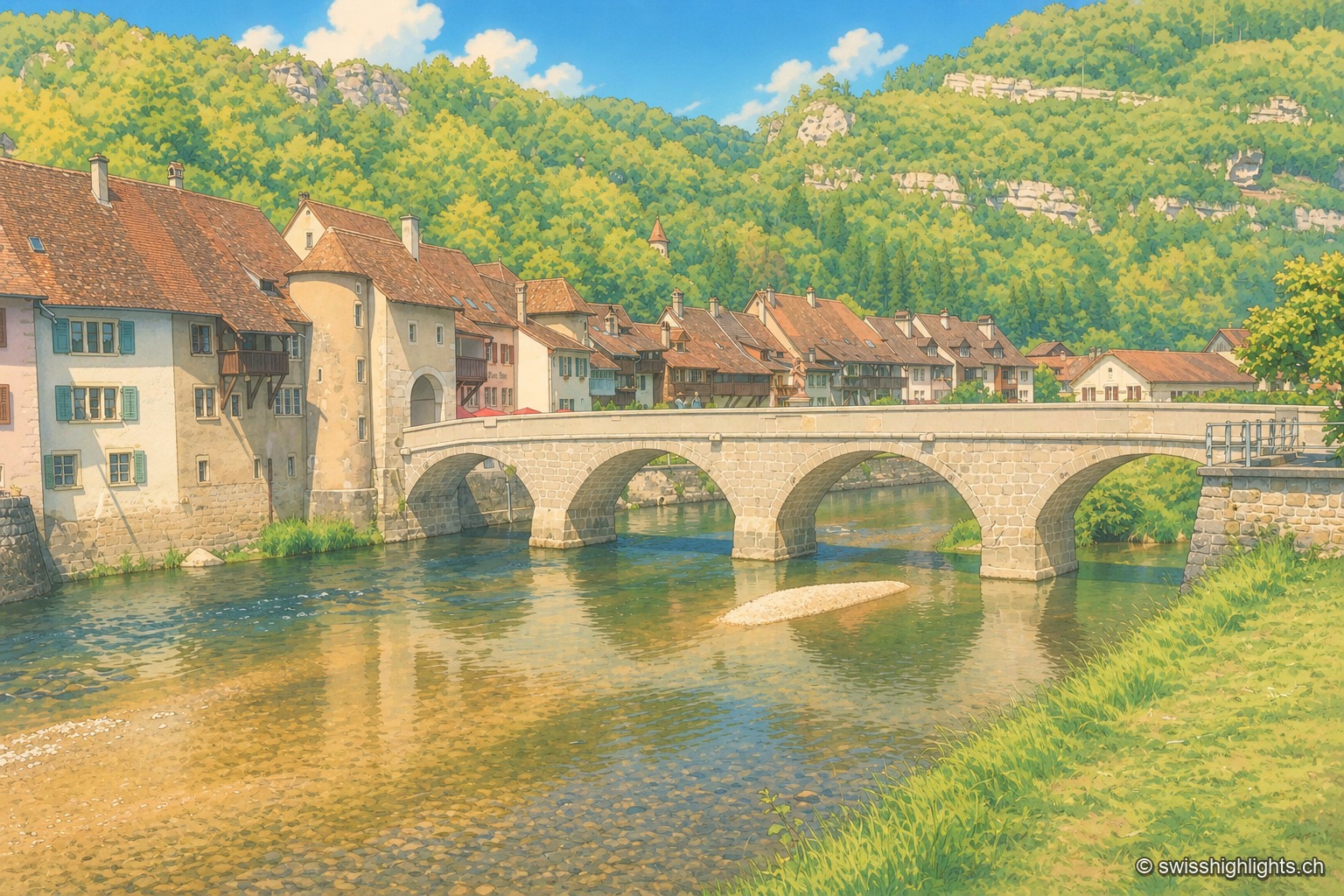
Medieval small town · Jura · 18 km as the crow flies
Saint-Ursanne
Born around a Benedictine abbey, it keeps its Romanesque collegiate church, its cloister and burgher houses from the 14th to the 16th century. At 440 metres, between wooded cliffs and river, it left its isolation only in 1877.