Mountain village · Valais
Évolène
The main village of the val d'Hérens, at 1,370 metres on the Borgne, where the Franco-Provençal dialect is still spoken and carnival lasts two months.
Évolène holds the floor of the val d'Hérens, at 1,370 metres, on the bank of the Borgne. It is the most populous of the six villages of the commune that bears its name — nearly 800 inhabitants — and it keeps the administration, the school and the shops, lined along a main street of timber houses set on stone bases. The commune itself covers 209.94 square kilometres and counted 1,666 inhabitants on 31 December 2024: the twelfth largest in Switzerland, it is two-thirds mineral, 67.8% of its surface being unproductive. Above it, the Dent Blanche rises to 4,358 metres.
The five other villages are laid out by altitude and by sun. Villa, La Sage and La Forclaz occupy a south-facing terrace some 300 metres above the plain running from Évolène to Les Haudères; their meadows climb to 2,700 metres. Les Haudères, about 450 inhabitants, stands where the Borgne de Ferpècle and the Borgne d'Arolla meet, at the foot of the Dents de Veisivi. Arolla, at 2,000 metres, is the highest and the most remote, on the high route from Chamonix to Zermatt. The hamlet of Lannaz, listed as of national importance in the ISOS inventory, sets its houses and its chapel of Saint Lawrence in a ring around a meadow; only some fifteen people still live there.
The valley's late opening can still be read in its usages. Traditional dress was worn here longer than elsewhere, and the Évolène dialect, a form of Franco-Provençal, remains the everyday language of inhabitants over 60, one that children still learn at home. Carnival is its most visible expression: it runs from 6 January to Shrove Tuesday. The village name comes from the stream that rises in its centre — ewe, water in Franco-Provençal, followed by an adjective linked to the idea of gentleness; it is Èvouolïn-na in the Valais dialect, Oleïnna in the local variant, and Evolena in German.
Why this place is remarkable
What sets Évolène apart has less to do with its setting than with time. The village lived almost self-sufficiently until the early 20th century: no carriage road to Sion before 1862, no motor car before 1926, no postal coach before 1950. That delay let survive what opening erased elsewhere — a Franco-Provençal dialect still spoken, a costume that never quite died out, a carnival that occupies two months of the winter.
History and origin
Local tradition places the founding of the village around 1200, but the documents begin only in the 14th century: in 1369 the people of Évolène concluded a treaty with those of the Valpelline, on the far side of the Col de Collon, through which exchanges then passed. The first parish church was built in 1446; the parish has Saint John the Baptist as patron, celebrated on 24 June. Évolène became a commune in its own right only in 1806 and remained joined to Saint-Martin until 1922. Tourism arrived in the 19th century — the Hôtel de la Dent-Blanche opened in 1857 — then the Grande-Dixence worksite transformed the valley in the 20th century, bringing roads, drinking water and electricity as far as Arolla and Ferpècle.
What to do and see
- Walk along Évolène's main street, lined with wooden houses set on stone bases, beside the Borgne.
- Look up at the Dent Blanche, which towers over the village at 4,358 metres.
- Consider an extension to Les Haudères, where the Borgne de Ferpècle and the Borgne d'Arolla meet, or to the hamlet of Lannaz, listed under ISOS, whose houses are arranged in a ring around a meadow.
Coming with family: what to know
- Carnival, which runs from 6 January to Shrove Tuesday, and the Évolène patois still passed down within families may interest children curious about local traditions.
As a couple
- Walk along Évolène's main street, among the traditional wooden houses, facing the Dent Blanche.
- As you stroll through the village, imagine its isolation until the early 20th century — no road for carts to Sion before 1862 — which let a Franco-Provençal patois survive that is still spoken today.
- Extend the walk to Les Haudères, at the confluence of the two Borgnes, at the foot of the Dents de Veisivi.
The valley is exposed to avalanches, rockfalls and floods of the Borgne, and settlement has concentrated in the safest places. On 21 February 1999 several avalanches on the territory of Évolène killed twelve people. Mountain conditions should be checked with the official services before any high route.
The valley is exposed to avalanches, landslides and floods of the Borgne; on 21 February 1999, several avalanches on the territory of Évolène killed twelve people — check mountain conditions with official services before any high-altitude outing.
Location
Loads an interactive Google Maps view on demand, from the place's verified coordinates.
The embedded map will be enabled once an authorized Google Maps key is configured. Use the link above in the meantime.
The map could not load. Check your connection or use the link above to open the place in Google Maps.
Related places
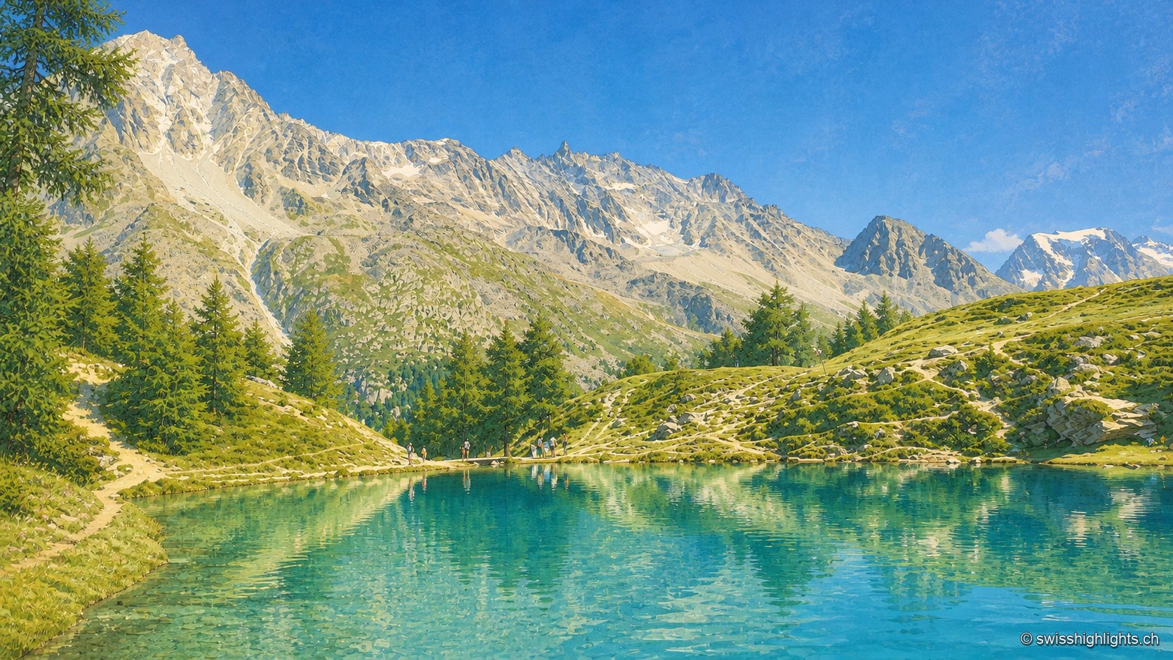
Mountain lake · Valais · 7 km as the crow flies
Lac Bleu d'Arolla
Ringed by larches and Swiss stone pines at the place called Le Louché, the lake is fed by an inflow rising 10 metres upstream; its outflow reaches the Borgne d'Arolla via the Aiguilles Rouges torrent, after about 280 metres.
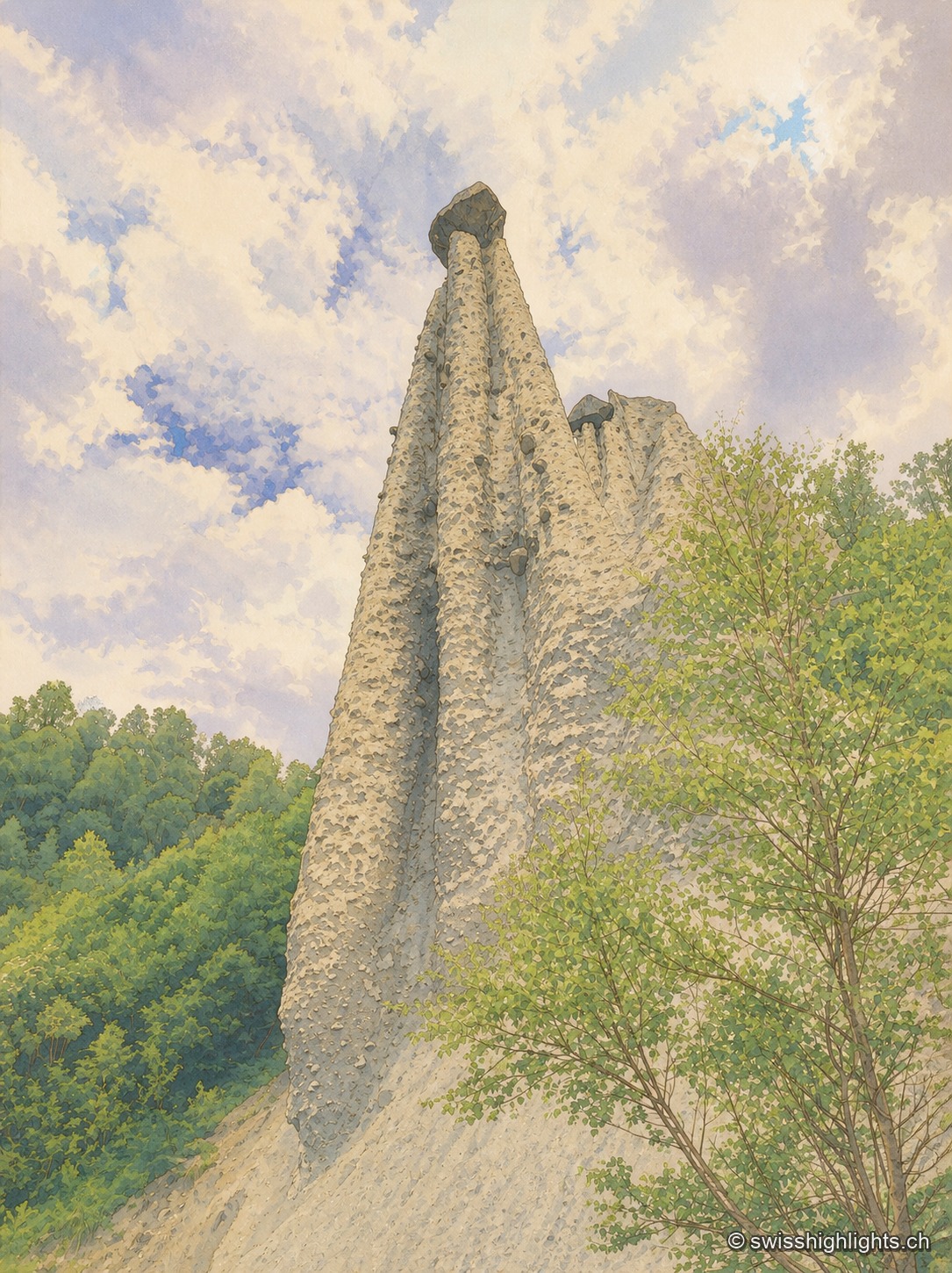
Earth pyramids · Valais · 9 km as the crow flies
Pyramides d'Euseigne
Each moraine cone of the Pyramides d'Euseigne, 10 to 15 metres tall, is capped by a boulder that protects it from erosion; the Val d'Hérens road passes through a tunnel cut beneath the formations.
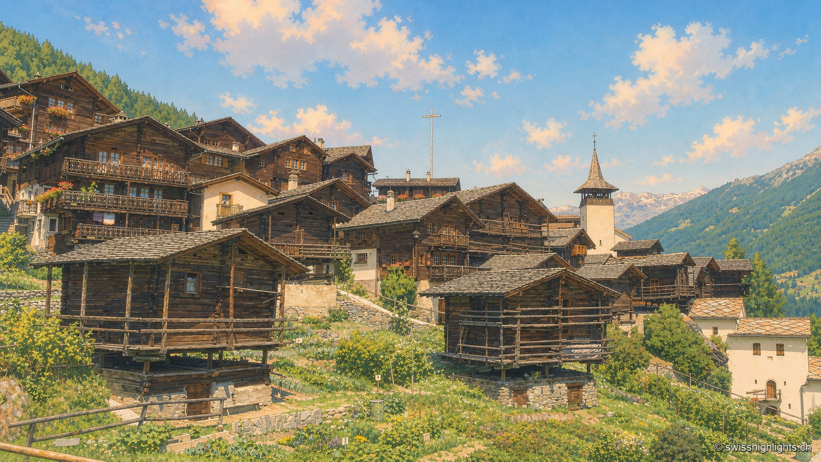
Valais · Val d'Anniviers · 10 km as the crow flies
Grimentz
Grimentz holds its slope at 1,572 metres above the Val d'Anniviers. Raccards on stilts stand beside the Maison Bourgeoise of 1550, in whose cellars the vin du Glacier ages.