Valais · Val d'Anniviers
Grimentz
At 1,572 metres in the Val d'Anniviers, a village of larch where the vin du Glacier ages in a cellar of 1550.
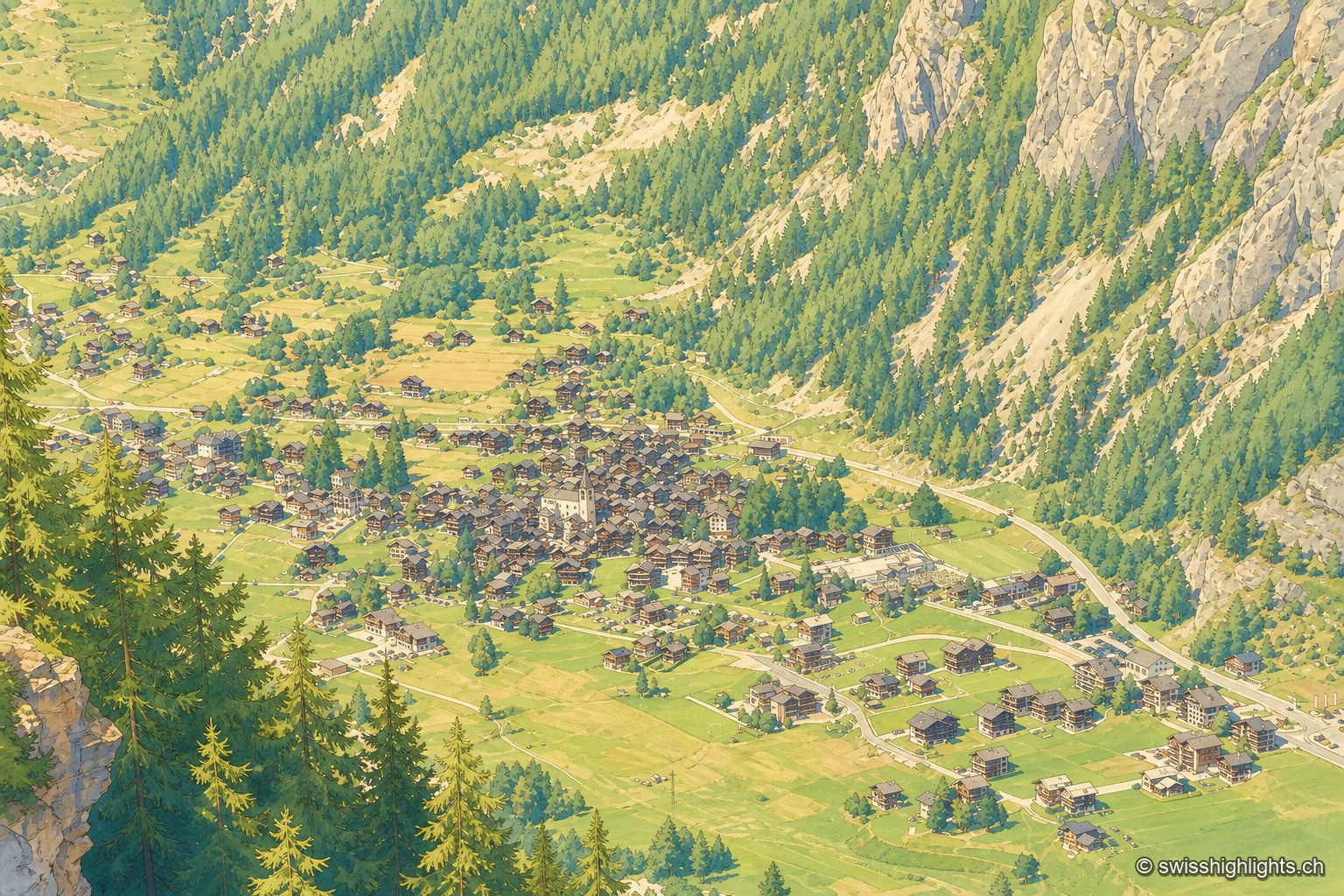
Grimentz occupies a terrace at 1,572 metres in the Val d'Anniviers, among the alpine pastures of Avoin, Moiry and Torrent. The village has kept its larch building: façades blackened by the sun, granaries and raccards perched on their stilts, narrow lanes where three fountains are still driven by water from the torrent.
The name is written Grimiens in 1052, Grimesi in 1243, Grimenchy in 1250, Grimeynchi in 1305, Grimenzi in 1812. It was formed by adding a Latin suffix to a Germanic personal name — Grimo, Grima or Chrimo — and would therefore mean the holding of Grimo. In 1243 Grimentz became the first village in Anniviers to constitute itself as a commune; in the 14th century it formed, with the hamlet of Saint-Jean, one of the valley's quarters alongside Vissoie, Saint-Luc and Ayer.
In the middle of the village, the Maison Bourgeoise of 1550 keeps in its cellars the vin du Glacier, which was once served only to the bishop. Grimentz long lived from raising Hérens cattle on its pastures; the Moiry dam, built in 1957, and then tourism from the late 1960s took over. Every 17 January the Boconett is celebrated: the legend tells that in 1348 girls tending cattle above the Saint-Jean pasture escaped the plague and promised that a share of the cheese from the Torrent pasture would be given out to the children each year.
The commune itself has ceased to exist: on 26 November 2006, 65.8% of voters accepted the merger with five other communes to form Anniviers, effective on 1 January 2009. The village has belonged since 2016 to the association of the Most Beautiful Villages of Switzerland. The flood of the Marais torrent, in May 1999, remains the event people talk about here: it carried away the sawmill built around 1819 and the larch on the post office square, of which only the roots remain, turned into a fountain.
Why this place is remarkable
What holds Grimentz together is wood: raccards on stilts, larch façades blackened by the sun, fountains turned by the torrent. The village lost its status as a commune in 2009 without its plan changing, and its best-known cellar, beneath the Maison Bourgeoise of 1550, keeps a wine once served only to the bishop.
History and origin
The first traces of settlement on this land go back to the 3rd or 4th century BC. In the 11th century these lands belonged to the lords of Granges and then to Bishop Aymon of Savoy. The village arms are recorded on the stove of the burghers' hall, with the date 1771 and the inscription LC DG, for Louable Commune De Grimentz; its four stars are taken to stand for the old quarters of Anniviers, and their tincture, long left undefined, was only settled in 1945.
What to do and see
- Stroll through lanes lined with raccards and granaries on stilts, larch facades blackened by the sun.
- Observe the village's three fountains, still set in motion by water from the torrent.
- Go down into the cellars of the Maison Bourgeoise of 1550, where Glacier wine ages.
- Spot the roots of the larch tree on the post office square, swept away by the flooding of the Marais torrent in May 1999 and turned into a fountain.
Coming with family: what to know
- The village occupies a terrace at 1,572 metres altitude, between the alpine pastures of Avoin, Moiry and Torrent.
As a couple
- Wander among the larch raccards blackened by the sun, at 1,572 metres in the Val d'Anniviers.
- Taste Glacier wine aged in the cellars of the Maison Bourgeoise of 1550, once reserved for the bishop.
- Stop by the three fountains animated by water from the torrent, in the village's narrow lanes.
Location
Loads an interactive Google Maps view on demand, from the place's verified coordinates.
The embedded map will be enabled once an authorized Google Maps key is configured. Use the link above in the meantime.
The map could not load. Check your connection or use the link above to open the place in Google Maps.
Related places
Mountain village · Valais · 10 km as the crow flies
Évolène
Nearly 800 inhabitants, a main street of timber houses on stone bases, a parish whose first church dates from 1446. With no carriage road before 1862, the village kept its dialect and its costume longer.
Earth pyramids · Valais · 12 km as the crow flies
Pyramides d'Euseigne
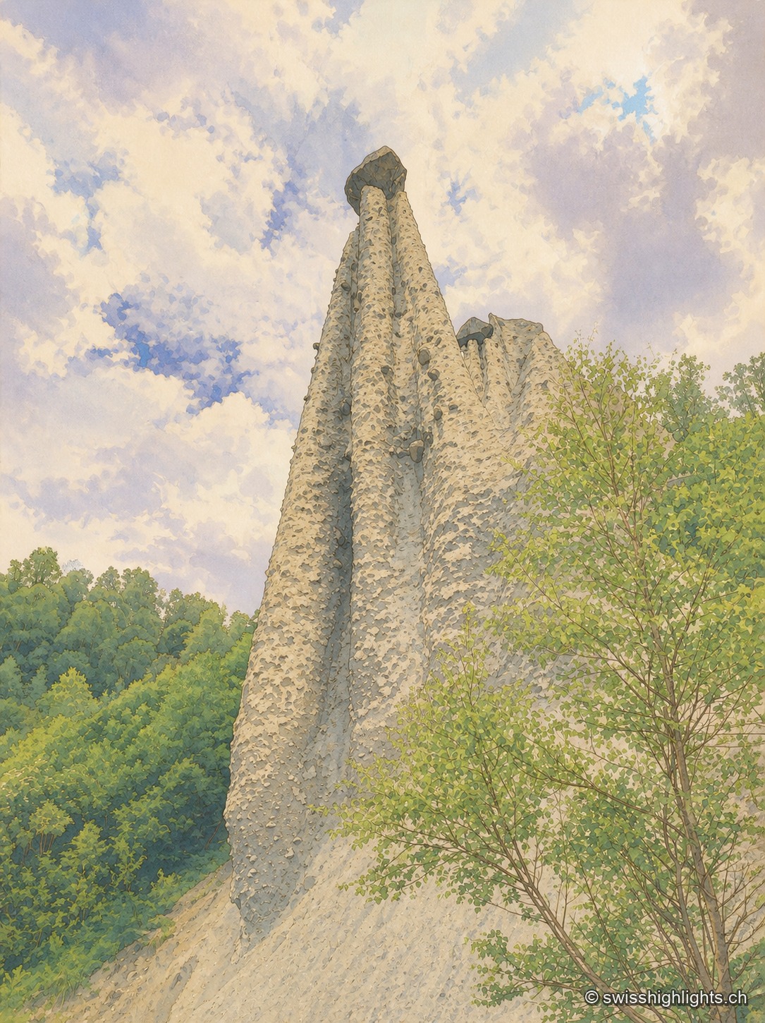
Each moraine cone of the Pyramides d'Euseigne, 10 to 15 metres tall, is capped by a boulder that protects it from erosion; the Val d'Hérens road passes through a tunnel cut beneath the formations.
Underground lake · Valais · 14 km as the crow flies
Saint-Léonard Underground Lake
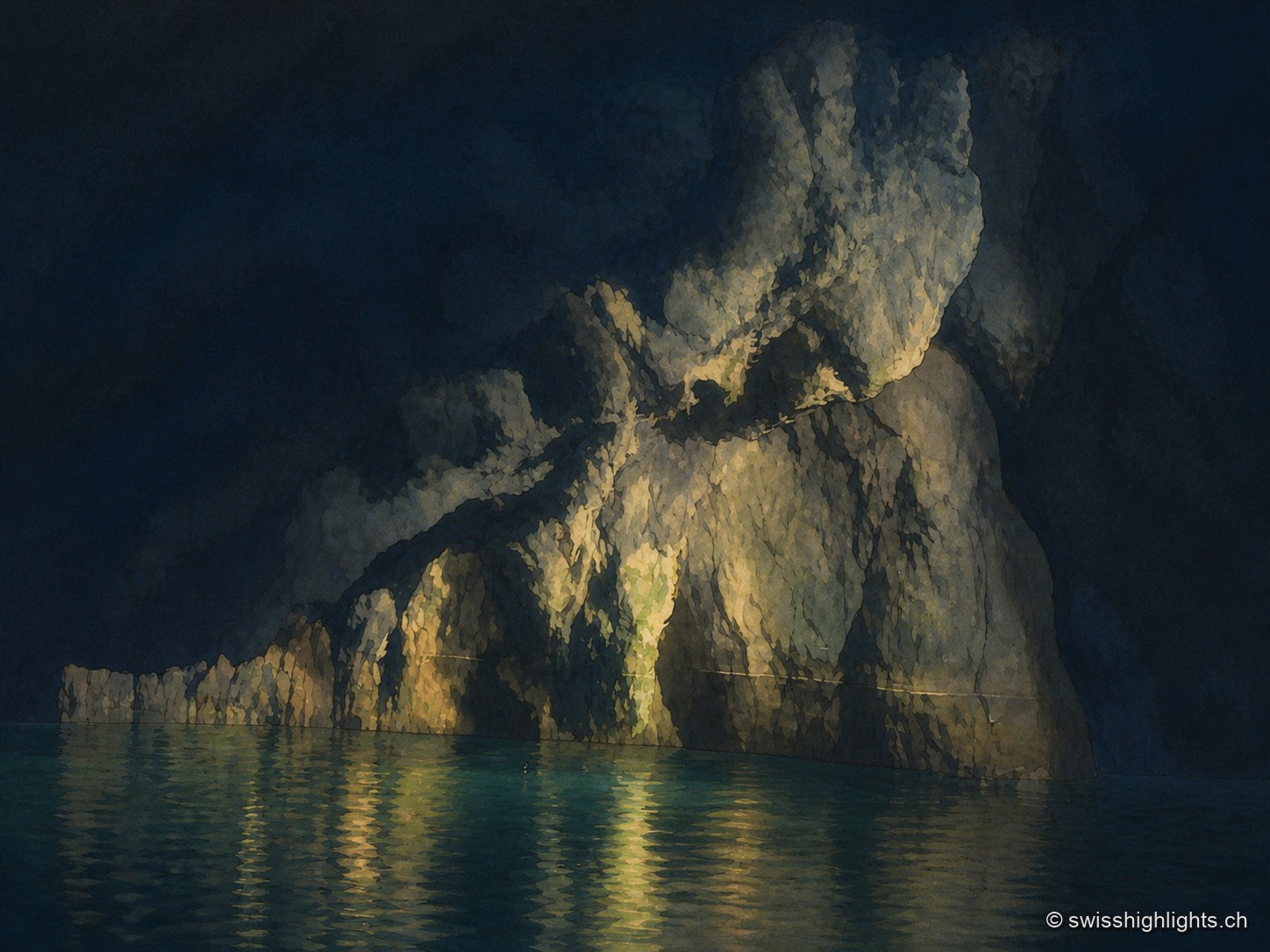
The lake fills only part of a cavity 1,400 metres long; a rockfall closes the rest. The 1946 earthquake lowered its level, and access, closed in 2000, reopened only in 2002 after consolidation.