Mountain lake · Valais
Lac Bleu d'Arolla
At 2091 m on the western flank of the Val d'Hérens, this mountain lake owes its intense blue colour to a combination of algae and clay minerals.
The Lac Bleu lies at 2091 m, at the place called Le Louché, on the western flank of the Val d'Hérens, in the commune of Évolène. To distinguish it from other lakes of the same name, it is also called Lac Bleu du Louché or Lac Bleu d'Arolla. Larches and Swiss stone pines surround it.
Its intense blue colour, in very clear water, comes from a combination of algae and clay minerals. The stream that feeds it rises just 10 metres upstream; its outflow reaches the Borgne d'Arolla via the Aiguilles Rouges torrent, at the place called Satarma, after about 280 metres.
Why this place is remarkable
The Lac Bleu owes its colour, an intense blue unusual for a mountain lake, to a precise combination of algae and clay minerals rather than to a mere reflection of the sky. Set at 2091 m on the western flank of the Val d'Hérens, ringed by larches and Swiss stone pines, it carries several names across sources, used to distinguish it from its namesakes: Lac Bleu du Louché, Lac Bleu d'Arolla.
What to do and see
- Observe the intense blue color of the water, due to a combination of algae and clay minerals rather than the sky's reflection alone.
- Spot the small tributary that feeds the lake, whose source springs just 10 meters upstream.
- Enjoy the setting of larches and arolla pines surrounding the small lake, at the site called Le Louché.
As a couple
- The unusual blue of the clear water, to observe quietly from the shore.
- An isolated site at 2091 meters, on the western slope of Val d'Hérens, surrounded by larches and arolla pines.
- The small outlet that joins the Borgne d'Arolla via the Aiguilles Rouges stream, to follow with the eye over about 280 meters.
Location
Loads an interactive Google Maps view on demand, from the place's verified coordinates.
The embedded map will be enabled once an authorized Google Maps key is configured. Use the link above in the meantime.
The map could not load. Check your connection or use the link above to open the place in Google Maps.
Related places
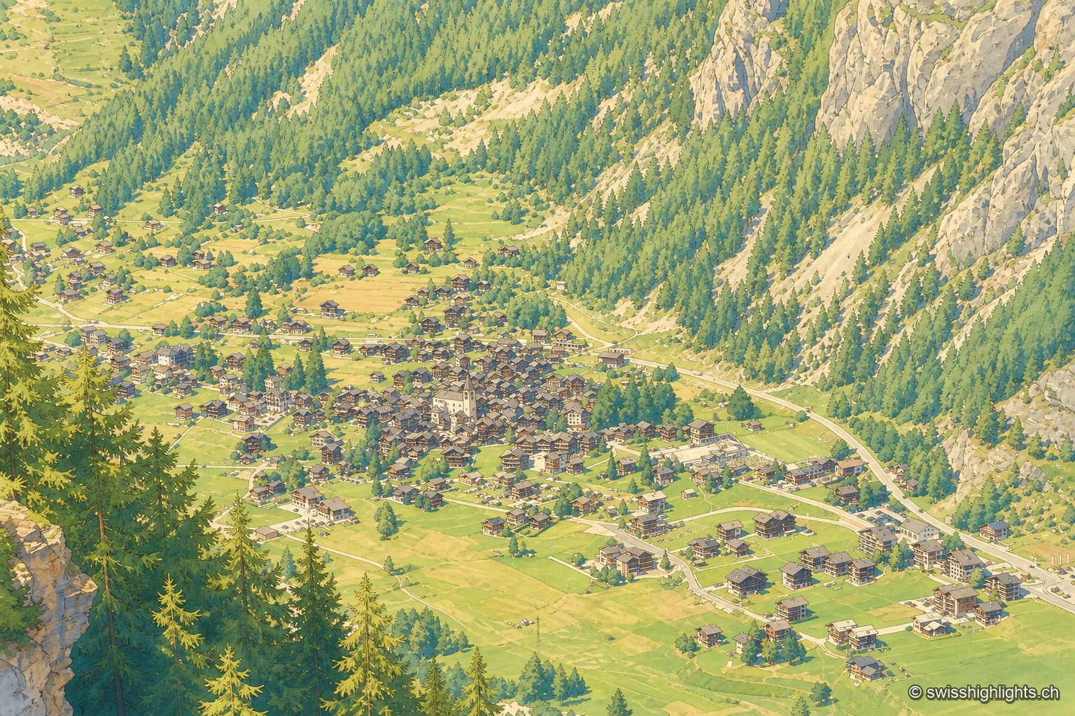
Mountain village · Valais · 7 km as the crow flies
Évolène
Nearly 800 inhabitants, a main street of timber houses on stone bases, a parish whose first church dates from 1446. With no carriage road before 1862, the village kept its dialect and its costume longer.
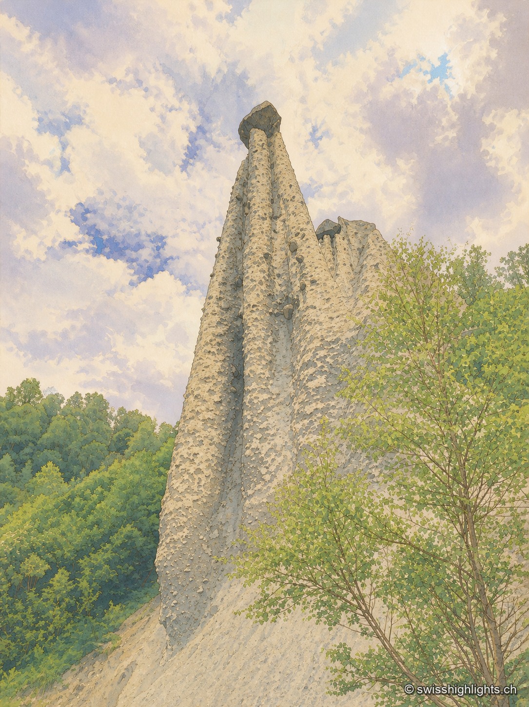
Earth pyramids · Valais · 14 km as the crow flies
Pyramides d'Euseigne
Each moraine cone of the Pyramides d'Euseigne, 10 to 15 metres tall, is capped by a boulder that protects it from erosion; the Val d'Hérens road passes through a tunnel cut beneath the formations.
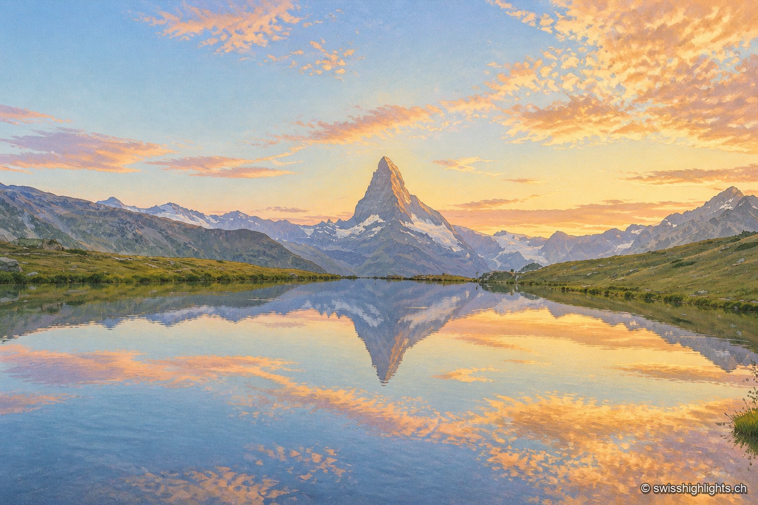
Peak · Valais and Aosta Valley · 16 km as the crow flies
Matterhorn
Four faces close 400 metres below the top. The summit ridge, 100 metres long, carries two summits and marks the border; the first ascent, in 1865, cost the lives of four of the seven men who made it.