Earth pyramids · Valais
Pyramides d'Euseigne
Rock formations capped by a protective boulder, 10 to 15 metres tall, carved from moraine in the Val d'Hérens.
The Pyramides d'Euseigne stand at the village of Euseigne, in the commune of Hérémence (Valais), at the fork of the Val d'Hérens and the Val d'Hérémence, at an altitude of 979 metres. They are natural cone-shaped landforms, 10 to 15 metres tall, formed by the erosion of glacial moraine and each capped by a boulder that protects the underlying moraine by compressing it.
These pyramids formed over millennia, following the last glaciation and successive retreats of the glaciers that once filled the valleys of Hérémence and Hérens between 10,000 and 80,000 years ago. The valley's main road passes through a small tunnel cut beneath the rock formations.
The village of Euseigne holds the oldest chapel in the parish of Hérémence, built in 1587 by canon official Georges Dayer. A severe fire destroyed the village and its chapel in 1800; on 22 December 1917, another fire consumed 107 buildings and destroyed almost the entire village. In 1978, after two years of work, the Collège Saint-Georges, the Val d'Hérens secondary school, was inaugurated in Euseigne.
The origin of the name Euseigne remains uncertain: attested historical spellings include Usegni and Usogny in 1200, then Osogny in 1352 and Ysogni in 1379; several competing hypotheses have been put forward by linguists Jules Guex, Albert Samuel Gatschet and André Bonnard, none of them consensual.
Why this place is remarkable
The Pyramides d'Euseigne owe their shape to a precise geological mechanism: a boulder sitting atop each moraine cone compresses and protects the loose material beneath it from erosion, while unprotected slopes erode away around it. Formed over millennia since the retreat of the glaciers that once filled the valleys of Hérémence and Hérens between 10,000 and 80,000 years ago, they now stand 10 to 15 metres tall, and the valley's main road passes through a tunnel cut beneath the formations.
History and origin
The pyramids result from the degradation of moraine left by the glaciers that filled the valleys of Hérémence and Hérens during the last glaciation, through staggered glacial retreats between 10,000 and 80,000 years ago. A boulder, more resistant than the surrounding moraine, protects the column beneath it by compressing it, while the surfaces around it erode away, gradually revealing the cones. The neighbouring village of Euseigne, whose oldest chapel in the parish of Hérémence dates to 1587, was destroyed by fire in 1800 and again on 22 December 1917, when a second fire consumed 107 buildings.
What to do and see
- Observe the moraine cones, 10 to 15 metres high, each capped by a rock block that protects the underlying column by compressing it.
- Pass through the tunnel dug beneath the formations, through which the valley's main road runs.
- Look for traces of the last glaciation, whose retreat between 10,000 and 80,000 years ago sculpted the moraines that gave rise to the pyramids.
- Make a detour to the village of Euseigne to see the oldest chapel in the parish of Hérémence, built in 1587.
As a couple
- Look closely at the geological mechanism of the pyramids: the summit block protecting the moraine from erosion while the surrounding slopes wear away.
- Walk through the road tunnel dug beneath the formations to appreciate their scale.
- Extend the visit with the village of Euseigne and its 1587 chapel.
Location
Loads an interactive Google Maps view on demand, from the place's verified coordinates.
The embedded map will be enabled once an authorized Google Maps key is configured. Use the link above in the meantime.
The map could not load. Check your connection or use the link above to open the place in Google Maps.
Related places
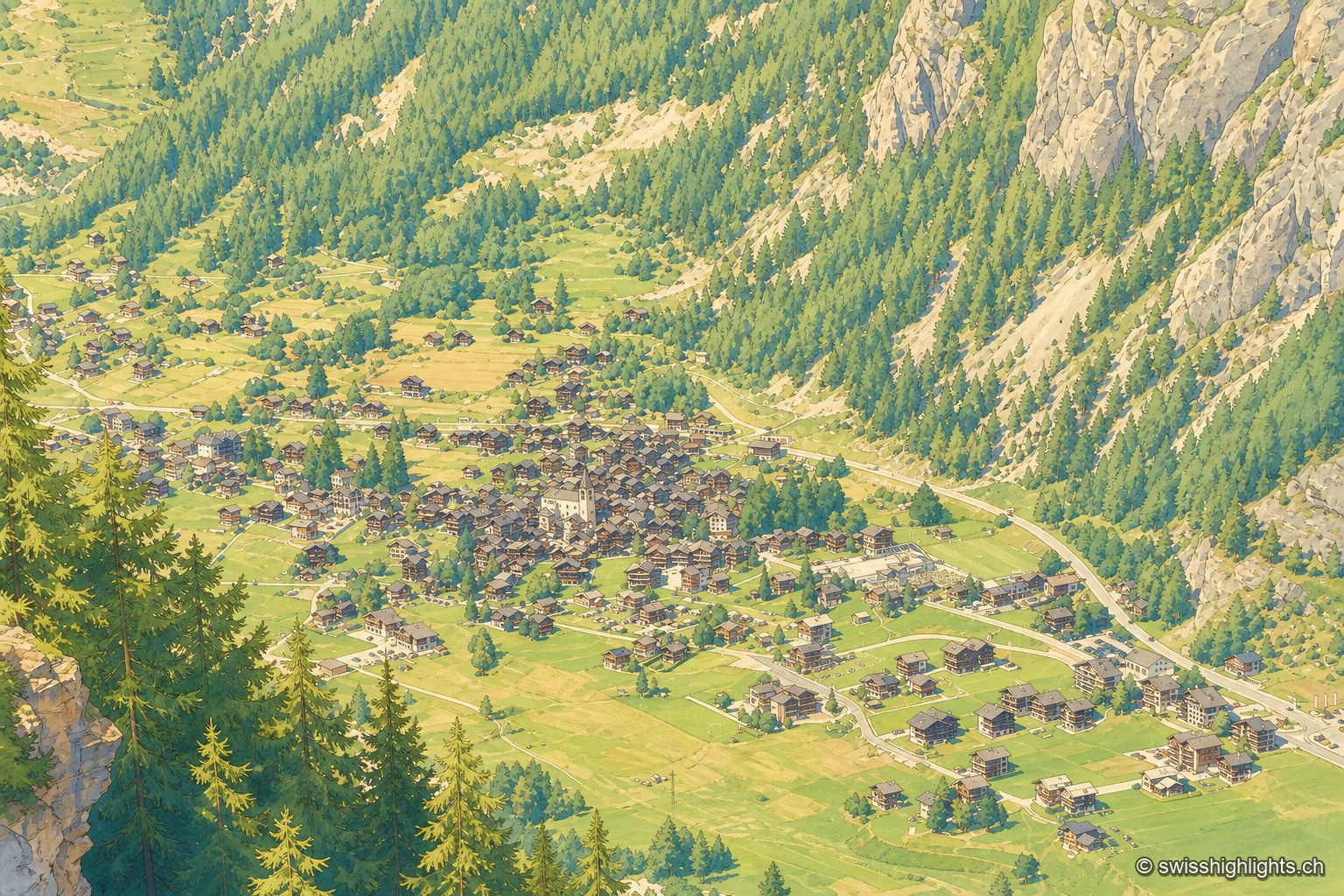
Mountain village · Valais · 9 km as the crow flies
Évolène
Nearly 800 inhabitants, a main street of timber houses on stone bases, a parish whose first church dates from 1446. With no carriage road before 1862, the village kept its dialect and its costume longer.
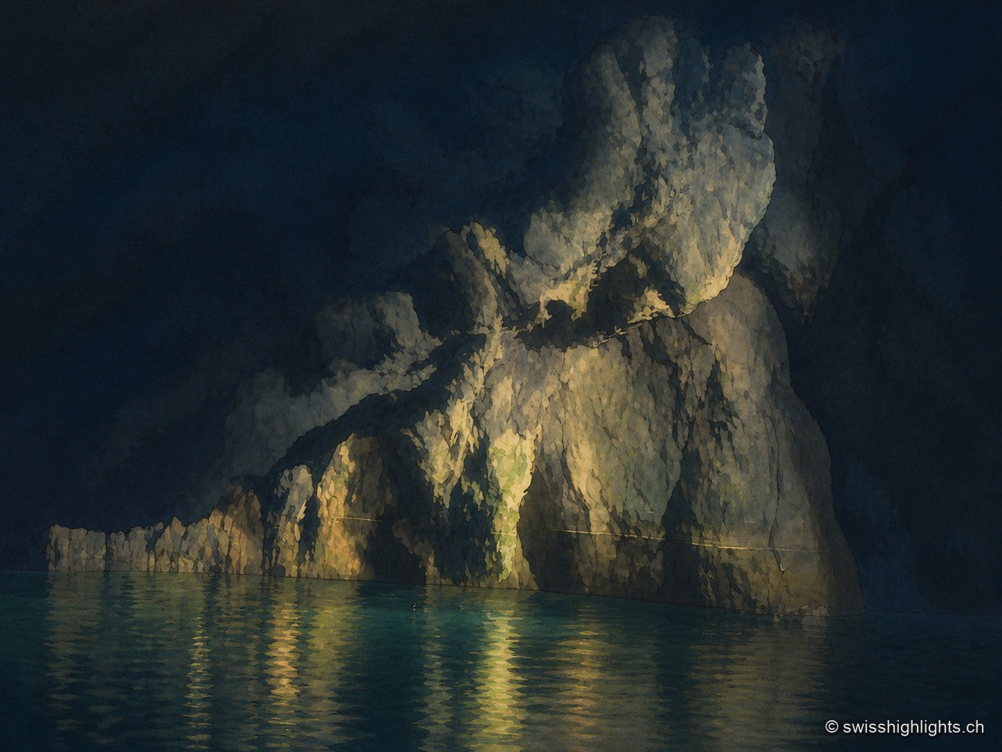
Underground lake · Valais · 9 km as the crow flies
Saint-Léonard Underground Lake
The lake fills only part of a cavity 1,400 metres long; a rockfall closes the rest. The 1946 earthquake lowered its level, and access, closed in 2000, reopened only in 2002 after consolidation.
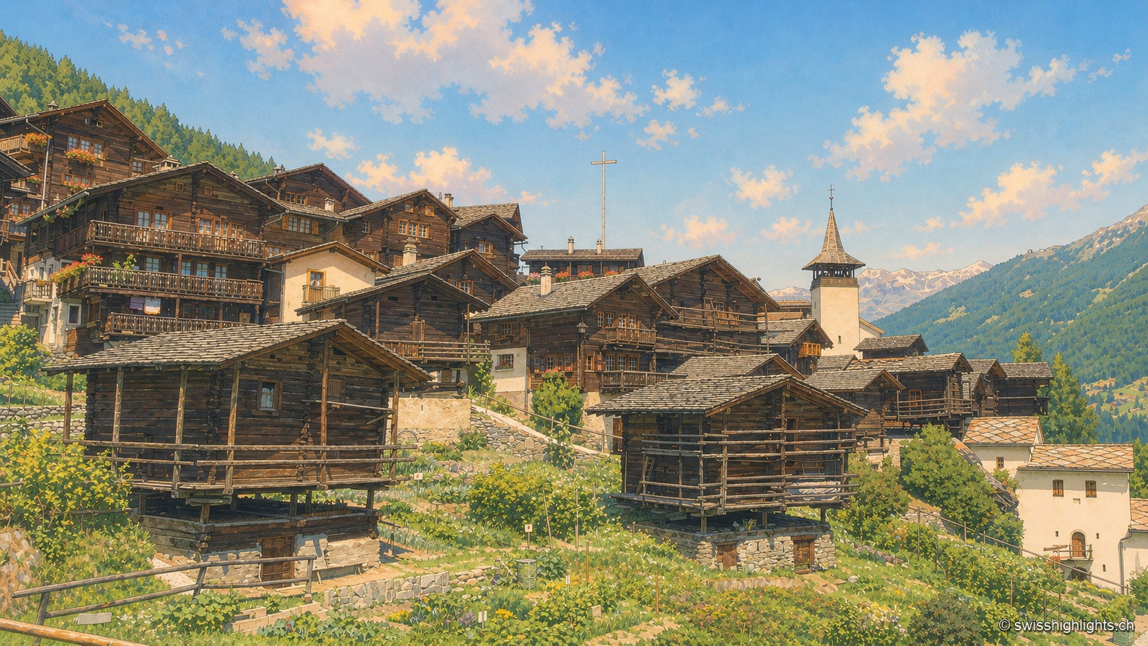
Valais · Val d'Anniviers · 12 km as the crow flies
Grimentz
Grimentz holds its slope at 1,572 metres above the Val d'Anniviers. Raccards on stilts stand beside the Maison Bourgeoise of 1550, in whose cellars the vin du Glacier ages.