Pilgrimage village · Obwalden
Flüeli-Ranft
Birthplace of Niklaus von Flüe, Switzerland's national saint, who withdrew in 1467 to a hermit's cell above the Ranft gorge.
Flüeli-Ranft is a mountain village in the commune of Sachseln, in canton Obwalden, central Switzerland. It sits on a plateau sheltered by a rock outcrop (Flue) above the Ranft gorge, from which its compound name comes — the village was only called Flüeli-Ranft from 1966, having previously carried the single name Flüeli. The site is listed on the federal inventory of townscapes worth protecting (ISOS) as a settlement of national importance.
Niklaus von Flüe, who became the hermit Brother Klaus, withdrew in 1467 to a cell carved beside the Melchaa torrent, where he lived until his death in 1487; his birth house and family home can still be visited in the village. Two pilgrimage chapels mark the Ranft: the upper chapel, consecrated in 1469 and renovated in 1693, and the lower chapel, built in 1501, whose wall paintings date from the mid-sixteenth century. The chapel of St Charles Borromeo, built between 1614 and 1618, overlooks the village from its rock. Niklaus von Flüe was canonised on 15 May 1947 under Pope Pius XII; his burial place lies three kilometres away, in the church of St Theodul in Sachseln.
From Flüeli-Ranft, the view takes in the Widderfeldstock, the Nünalphorn and the Huetstock, which rises to 2,676 metres. A Belle Époque hotel was built here in 1896; it has carried the name Paxmontana since 1966. The Way of St James coming from Stans crosses the village before joining Giswil and Lungern over the Brünig Pass, towards Interlaken. A frequent hiking destination is the Älggi-Alp, at 1,645 metres, regarded as the geographic centre of Switzerland.
Why this place is remarkable
Few Swiss villages owe their identity to one man with such precise dates: the hermit's cell of 1467, the two pilgrimage chapels of 1469 and 1501, the canonisation of 15 May 1947 that even changed the place's name in 1966. The site combines this religious heritage with an ISOS listing and a direct view of the Huetstock, at 2,676 metres, and the Älggi-Alp, described as the geographic centre of Switzerland.
History and origin
The village's name joins the rock (Flue) that shelters the plateau and the Ranft, the neighbouring gorge. Niklaus von Flüe (1417-1487) withdrew here as a hermit in 1467; the upper chapel of the Ranft was consecrated in 1469 and renovated in 1693, the lower chapel built in 1501 with wall paintings from the mid-sixteenth century, and the chapel of St Charles Borromeo built between 1614 and 1618. The village, called Flüeli until 1966, then took its current name; Niklaus von Flüe, canonised on 15 May 1947 under Pius XII, rests in Sachseln.
What to do and see
- Go down to the Ranft to see the hermit's cell where Niklaus von Flüe withdrew in 1467 until his death in 1487, beside the Melchaa torrent.
- Visit the two pilgrimage chapels of the Ranft: the upper chapel consecrated in 1469, and the lower chapel of 1501 with its mid-16th-century mural paintings.
- From the village, look towards the Huetstock, which rises to 2676 metres, and towards the Älggi-Alp, cited as the geographic centre of Switzerland.
As a couple
- Go down together to the Ranft, between the two pilgrimage chapels of 1469 and 1501, beside the Melchaa torrent.
- Stop at the St. Charles Borromeo chapel, built between 1614 and 1618, which overlooks the village from its rock.
- Enjoy the shared view of the Widderfeldstock, the Nünalphorn and the Huetstock.
Location
Loads an interactive Google Maps view on demand, from the place's verified coordinates.
The embedded map will be enabled once an authorized Google Maps key is configured. Use the link above in the meantime.
The map could not load. Check your connection or use the link above to open the place in Google Maps.
Related places
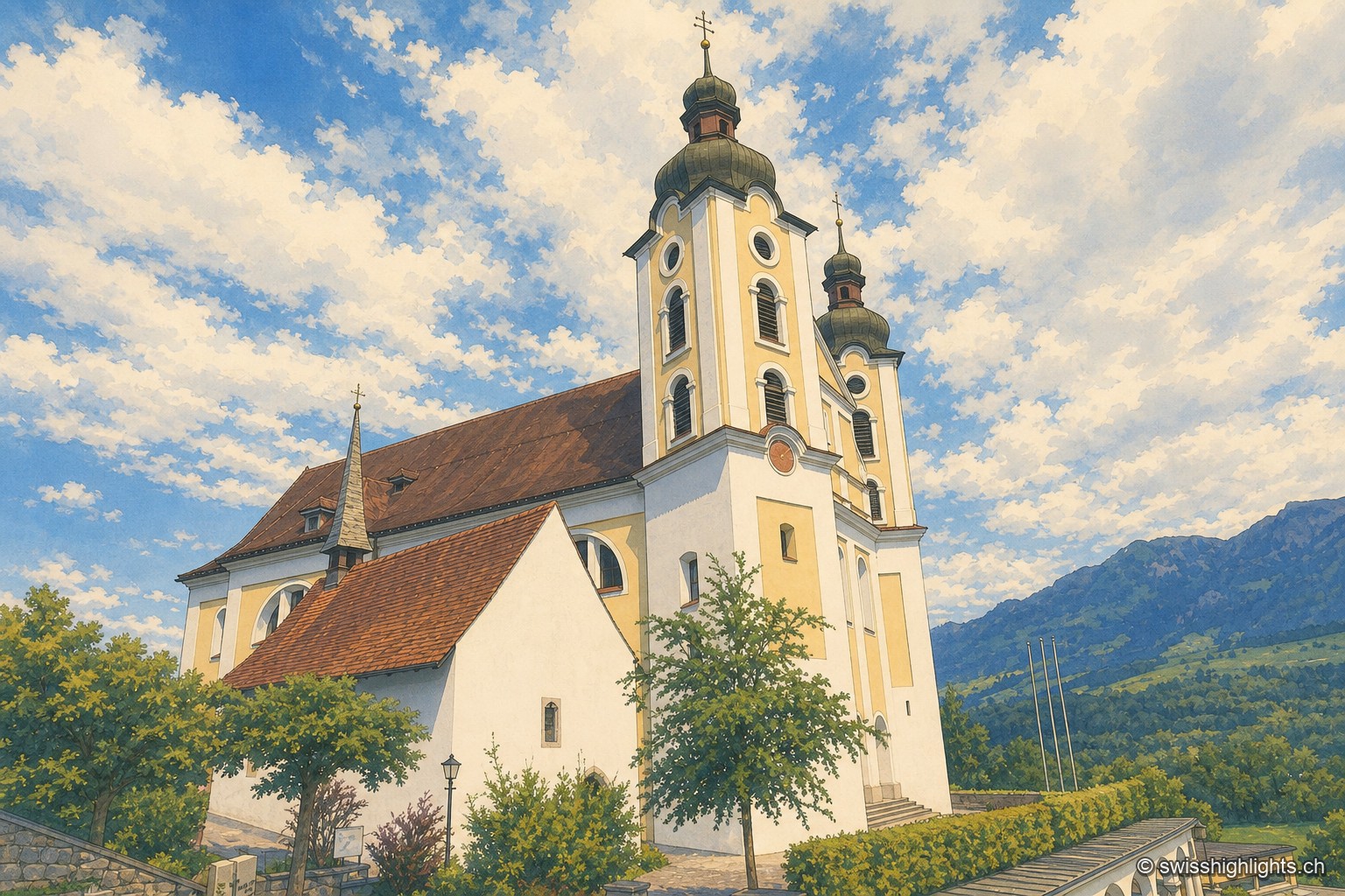
Historic quarter · Obwalden · 3 km as the crow flies
Kirchhofen
A mill first recorded in 1534 still turns here as a restaurant; Count Ulrich von Lenzburg had ceded his rights over Sarnen's church and over the "Unterer Hof" to Beromünster monastery, and that estate's name later gave the quarter its own.
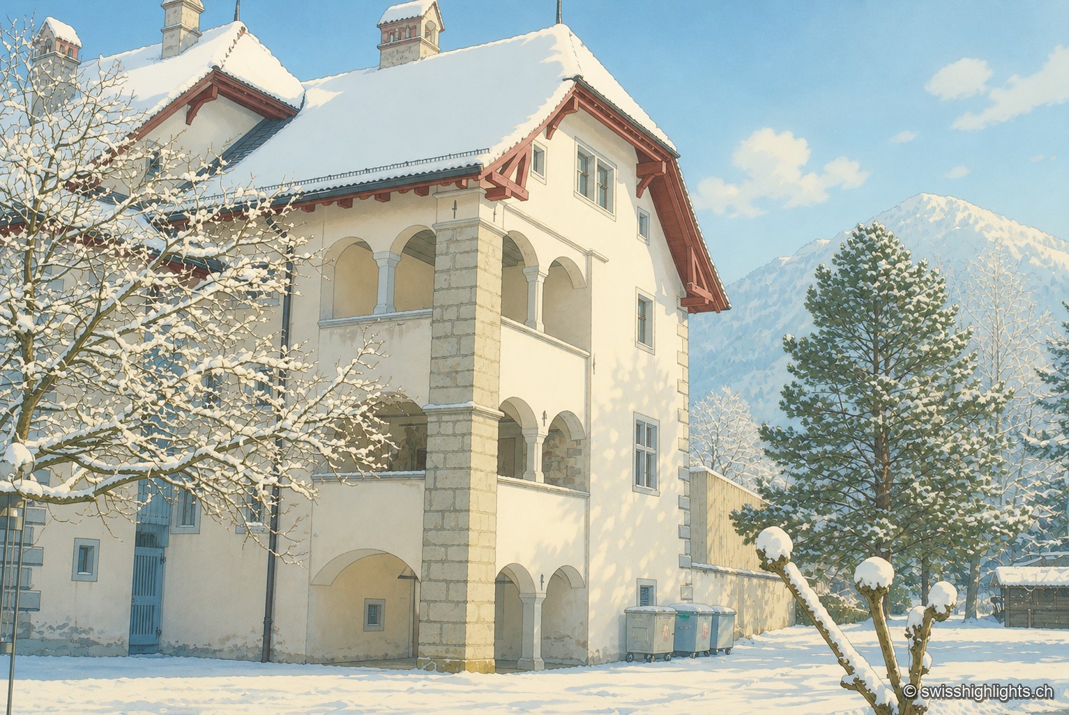
Below the Stanserhorn · Nidwalden · 12 km as the crow flies
Stans
In September 1798, French troops killed 414 residents there, including about a hundred women and twenty-six children, in response to the canton's resistance. Today Stans also lives on aviation, with the Pilatus Aircraft plant.
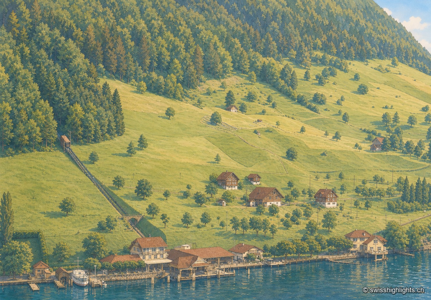
Lakeside village · Nidwalden · 17 km as the crow flies
Kehrsiten
The village, at 483 m and with its own postal code (6365), had several lakeside hotels in the 1950s — the Baumgarten, the Seeblick, the Wilhelm Tell — documented by ETH-Bibliothek aerial photographs.