Below the Stanserhorn · Nidwalden
Stans
Capital and most populous municipality of Nidwalden, Stans lies in the Aa valley at the foot of the Stanserhorn, near Winkelried Castle and the Pilatus plant.
Stans is the capital and most populous municipality of the canton of Nidwalden. Built in the Aa valley at the foot of the Stanserhorn, at 452 metres above sea level, it covers 11.09 km² and borders Dallenwil, Ennetmoos, Stansstad, Ennetbürgen, Buochs and Oberdorf. At the end of 2024 it had 8,508 inhabitants, for a density of 767 per km².
The Celto-Romans were the first settlers of Nidwalden. Stans is first mentioned in 1124, and a fire destroyed the town in 1713. In September 1798, French troops invaded Stans, whose inhabitants resisted the French occupation of Switzerland and its anti-Catholic policy: 414 residents were killed, including about a hundred women and twenty-six children.
The construction of the A2 motorway opened up the area south of Lake Lucerne and boosted the region's economic development; Stans lies at exits 32 and 33 of this Basel-Chiasso motorway, and on the Lucerne-Stans-Engelberg railway line. The Stanserhorn rack railway links the town to the mountain's summit. The aircraft maker Pilatus Aircraft is based in Stans.
The municipality preserves Winkelried Castle, Rosenburg Castle (Höfli), the church of Saints Peter and Paul and a Capuchin convent founded in 1582 and closed in 2004, alongside the Poor Clares' convent. Marie von Deschwanden (1830-1890), a pioneer of girls' schooling in the canton, and the alpine skier Marco Odermatt, born in 1997, were both born in Stans.
Why this place is remarkable
Stans holds its place in Swiss history through a tragic episode: in 1798, Nidwalden's resistance to the French occupation cost 414 residents their lives, including about a hundred women and twenty-six children. Two centuries later, the same Aa valley produces business jets at Pilatus and lifts visitors to the summit of the Stanserhorn by rack railway.
History and origin
The town occupies the Aa valley, at the foot of the Stanserhorn, between the municipalities of Dallenwil, Ennetmoos, Stansstad, Ennetbürgen, Buochs and Oberdorf. The Celto-Romans were the first attested settlers of Nidwalden; the name Stans first appears in a document from 1124.
What to do and see
- See Winkelried Castle, Rosenburg Castle, and the Church of Saints Peter and Paul in the Aa valley.
- Go up to the summit of the Stanserhorn by the rack railway that starts from the town.
- Spot the Capuchin convent founded in 1582 and the St Clare women's convent.
As a couple
- Go up together to the summit of the Stanserhorn by the rack railway.
- Walk between Winkelried Castle and Rosenburg Castle, at the foot of the Stanserhorn.
- Stop at the Church of Saints Peter and Paul in the old town.
- As you pass the town's monuments, tell each other about the residents' resistance to the French occupation of 1798.
Location
Loads an interactive Google Maps view on demand, from the place's verified coordinates.
The embedded map will be enabled once an authorized Google Maps key is configured. Use the link above in the meantime.
The map could not load. Check your connection or use the link above to open the place in Google Maps.
Related places
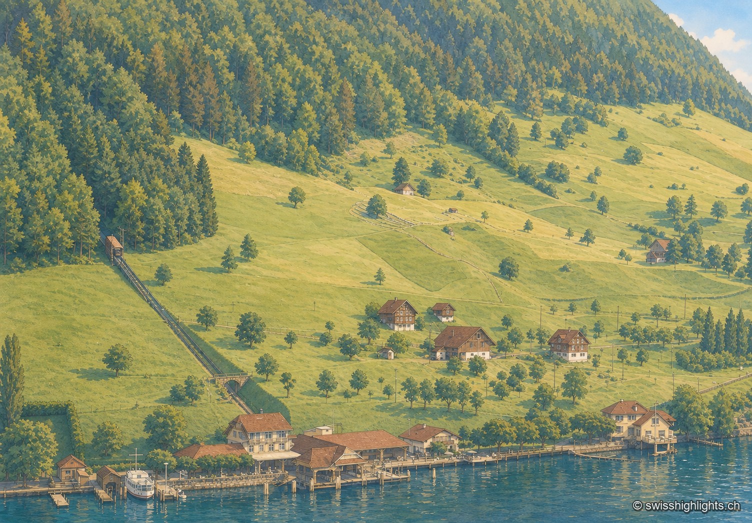
Lakeside village · Nidwalden · 5 km as the crow flies
Kehrsiten
The village, at 483 m and with its own postal code (6365), had several lakeside hotels in the 1950s — the Baumgarten, the Seeblick, the Wilhelm Tell — documented by ETH-Bibliothek aerial photographs.
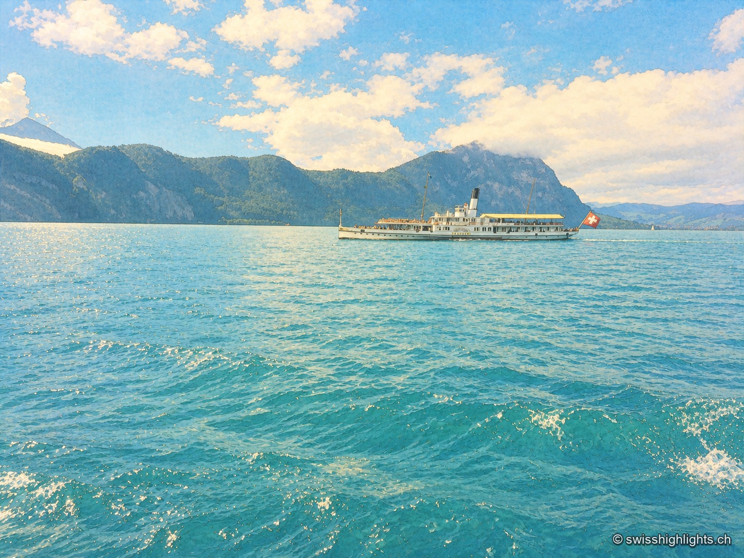
Glacial lake · Central Switzerland · 7 km as the crow flies
Lake Lucerne
The lake covers 114 km² at 434 metres above sea level and drops to 214 metres. Its basins change direction at every narrows, below the Pilatus at 2,129 metres and the Rigi at 1,798 metres.
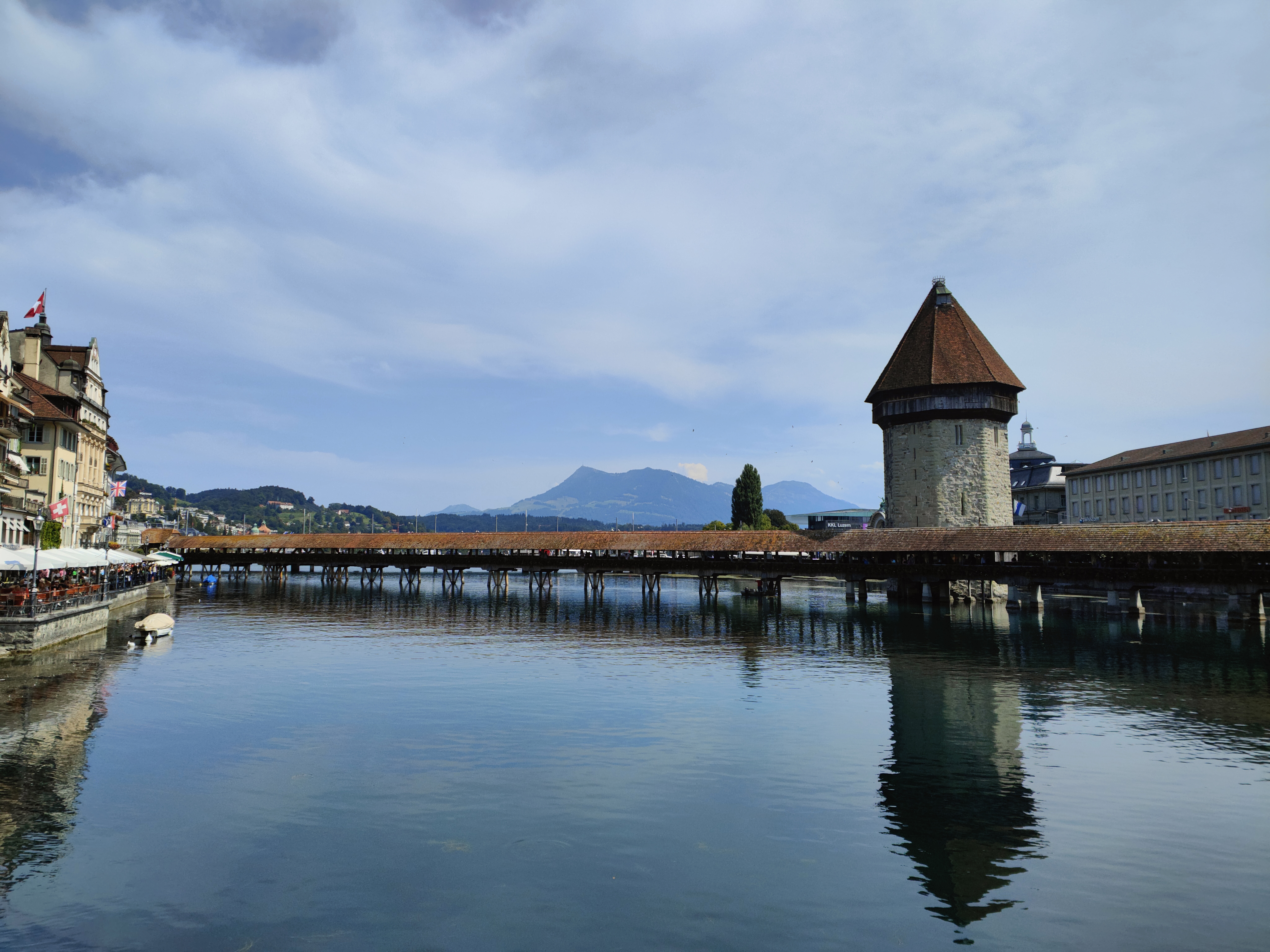
Old town and covered bridge · Lucerne · 11 km as the crow flies
Lucerne, old town and Kapellbrücke
It joined the Confederation in 1332, before any other town; along the Reuss, Lucerne lines up a wooden bridge of 1333, an octagonal water tower older than the bridge, and 870 metres of curtain wall with nine towers.