Historic quarter · Obwalden
Kirchhofen
A quarter of Sarnen dominated by the church of St Peter and Paul, Kirchhofen is listed under ISOS as a built heritage site of national importance.
Kirchhofen lies southwest of the main village of Sarnen, in the canton of Obwalden, linked to it by Kirchstrasse, a street that is almost continuously built up. To the southeast, the neighbouring Goldmatt quarter runs down to Lake Sarnen (Sarnersee); it is marked by individual houses, some of them villa-like.
Count Ulrich von Lenzburg ceded to Beromünster monastery three-quarters of his rights over the church of Sarnen and over the "Unterer Hof" (the lower farm); because of its proximity to the church, that estate later took the name Kirchhof, then Kirchhofen. For a long time the mill canal (Mühlekanal) was the quarter's lifeline: its water drove, among other things, a mill first recorded in 1534, though probably built as early as 1500. The building still stands and now houses a restaurant that also hosts cultural events. The Blattibach, also called the Mühlebach, disappeared around 1960; in 2008 a vineyard was planted on the slope bordering the quarter to the northwest.
The quarter is dominated by the parish church of St Peter and Paul, with its adjoining cemetery, the St Michael ossuary chapel and the rectory. Kirchhofen's village appearance is listed in the Swiss Inventory of Heritage Sites (ISOS) as a built heritage site of national importance. The quarter is also home to the Grosshaus Hofmatt, built in 1643, which today houses an art gallery.
Why this place is remarkable
Kirchhofen's built core is listed under ISOS as a built heritage site of national importance: around the parish church of St Peter and Paul, its cemetery, the St Michael ossuary chapel and the rectory, the quarter also preserves a mill first recorded in 1534 and still standing, now converted into a restaurant.
History and origin
The name Kirchhofen comes from the "Unterer Hof," an estate three-quarters of whose rights, along with those over the church of Sarnen, Count Ulrich von Lenzburg ceded to Beromünster monastery; its proximity to the church later earned it the name Kirchhof, then Kirchhofen. The mill canal (Mühlekanal) long remained the quarter's lifeline: it drove a mill first recorded in 1534, probably built as early as 1500, whose building survives today as a restaurant. The Blattibach, or Mühlebach, disappeared around 1960; a vineyard was planted on the quarter's northwest slope in 2008.
What to do and see
- Follow the Kirchstrasse, an almost entirely built-up street linking Kirchhofen to the village of Sarnen.
- Visit the Saints Peter and Paul parish church and the neighbouring Saint Michael ossuary chapel.
- Observe the mill attested since 1534, now converted into a restaurant, once the vital axis of the mill canal.
- Stop in front of the Grosshaus Hofmatt, built in 1643, which houses an art gallery.
Coming with family: what to know
- The neighbouring district of Goldmatt slopes down to Lake Sarnen; no accessibility details are given by the source.
As a couple
- Walk between the Saints Peter and Paul church, its cemetery and the Saint Michael ossuary chapel.
- Stop at the 16th-century mill turned restaurant, on the former mill canal.
- Visit the art gallery housed in the Grosshaus Hofmatt of 1643.
Location
Loads an interactive Google Maps view on demand, from the place's verified coordinates.
The embedded map will be enabled once an authorized Google Maps key is configured. Use the link above in the meantime.
The map could not load. Check your connection or use the link above to open the place in Google Maps.
Related places
Pilgrimage village · Obwalden · 3 km as the crow flies
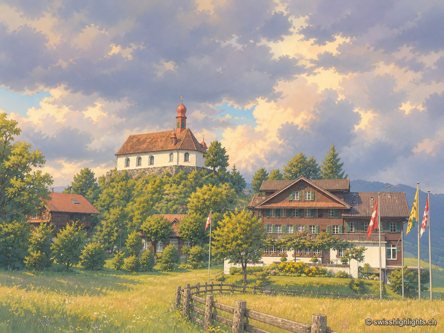
Flüeli-Ranft
Niklaus von Flüe (1417-1487) withdraws to the Ranft in 1467. The upper chapel is consecrated in 1469, the lower chapel built in 1501. Canonised on 15 May 1947 under Pius XII, he gave his name to the village, called only Flüeli until 1966.
Below the Stanserhorn · Nidwalden · 12 km as the crow flies
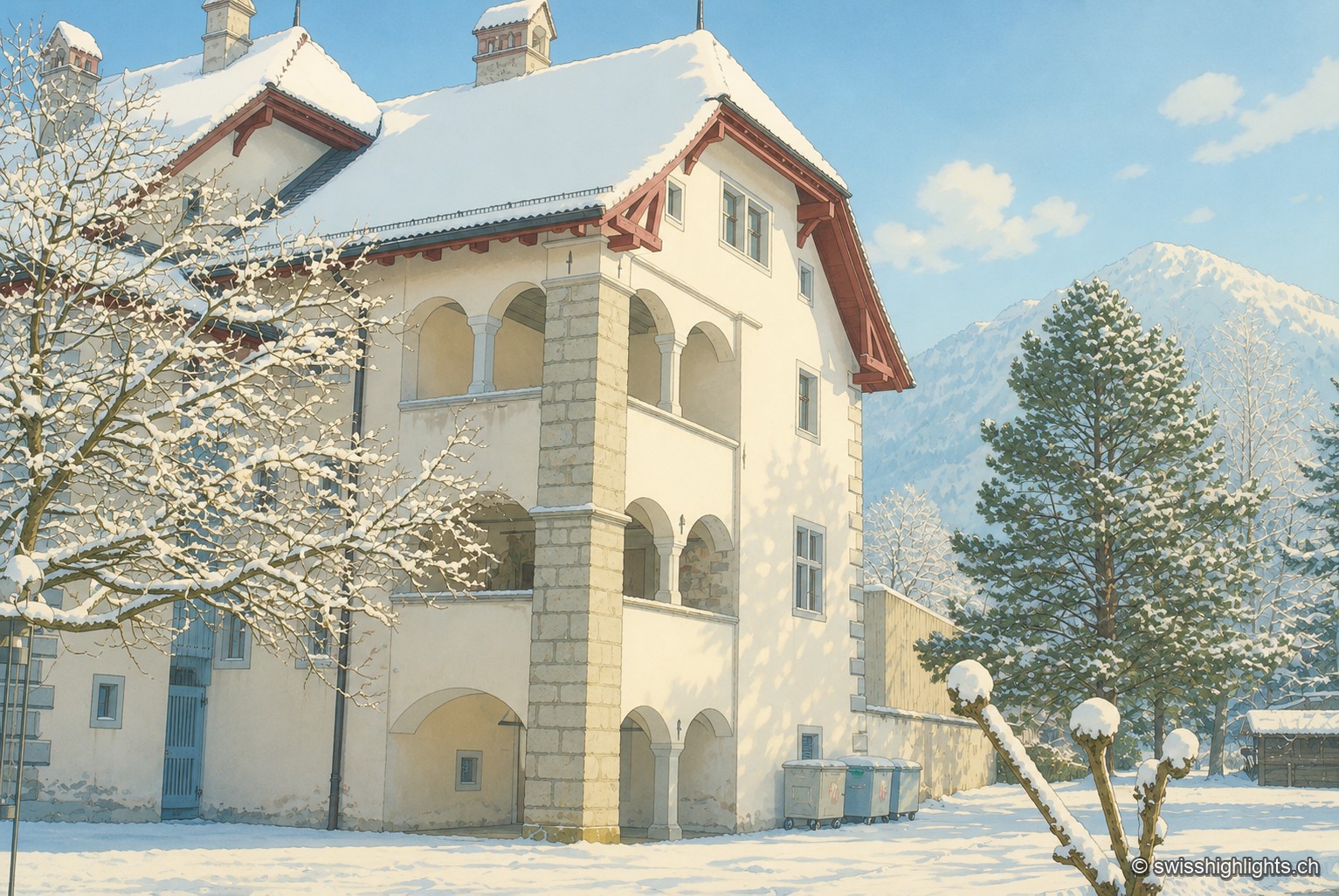
Stans
In September 1798, French troops killed 414 residents there, including about a hundred women and twenty-six children, in response to the canton's resistance. Today Stans also lives on aviation, with the Pilatus Aircraft plant.
Lakeside village · Nidwalden · 16 km as the crow flies
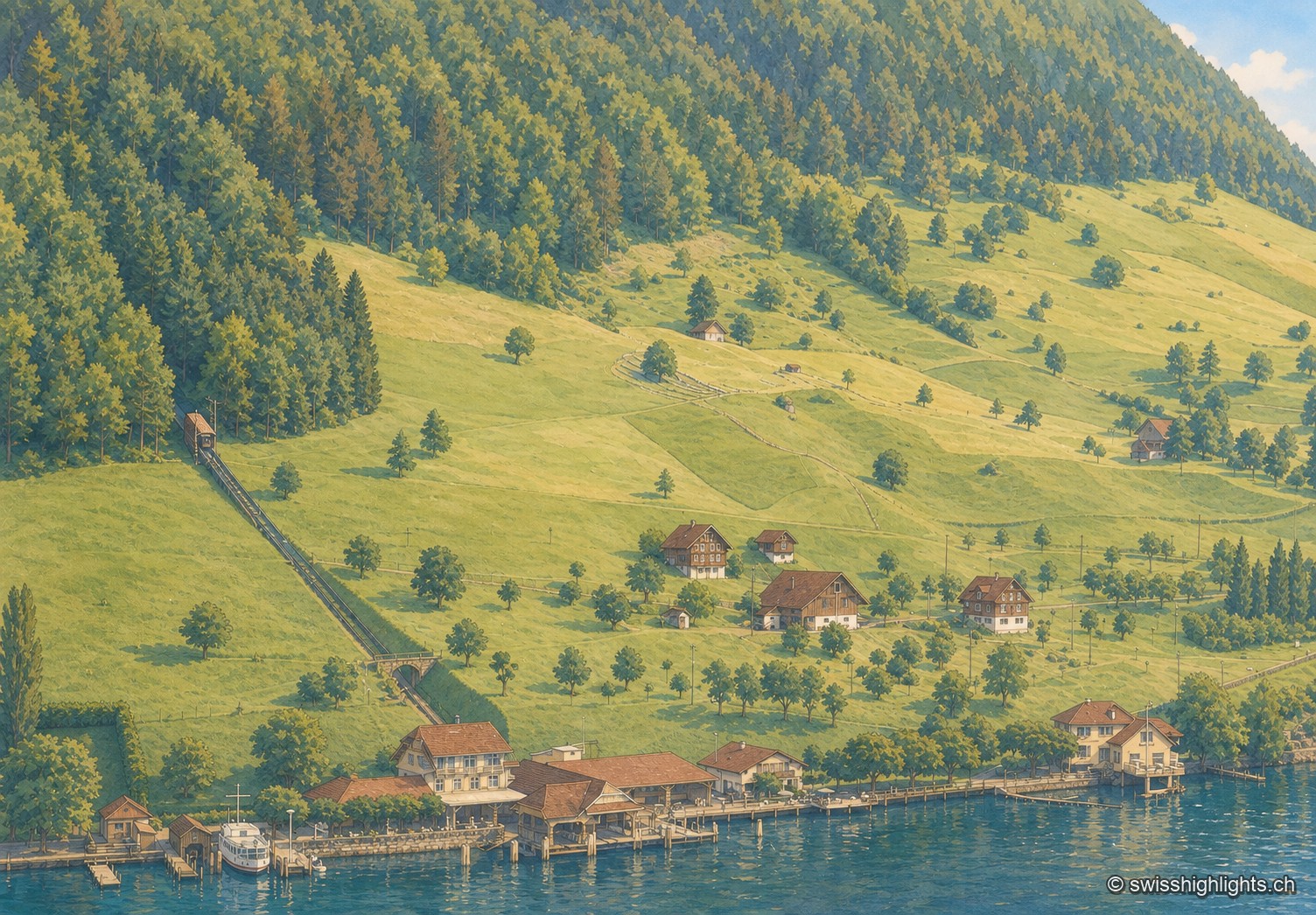
Kehrsiten
The village, at 483 m and with its own postal code (6365), had several lakeside hotels in the 1950s — the Baumgarten, the Seeblick, the Wilhelm Tell — documented by ETH-Bibliothek aerial photographs.