Lakeside village · Nidwalden
Kehrsiten
On the south shore of Lake Lucerne, 3 km east of Stansstad, Kehrsiten is listed in the federal Inventory of Swiss Heritage Sites (ISOS).
Kehrsiten is a village on the south shore of Lake Lucerne, 3 km east of Stansstad, of which it is administratively part, in the canton of Nidwalden; it has its own postal code, 6365. The village is listed in the federal Inventory of Swiss Heritage Sites (ISOS) under the name 'Kehrsiten (Stansstad)'.
One of the two Catholic churches of the commune of Stansstad outside the chief town stands in Kehrsiten, the other in Obbürgen. Aerial photographs by Werner Friedli from the ETH-Bibliothek, one of them dated 1954 and showing the SeeHotel Baumgarten, document several lakeside hotels in the 1950s: the Baumgarten, the Seeblick, the Wilhelm Tell, and the Hüttenort restaurant. One of these photographs, titled 'Kehrsiten, Station, Kehrsiten-Bürgenstock', shows an inclined track climbing the wooded slope toward the Bürgenstock.
Why this place is remarkable
Kehrsiten sits entirely on the narrow shore of Lake Lucerne, between the water and the wooded slope that climbs toward the Bürgenstock: a built core that 1950s aerial photographs show occupied almost exclusively by hotels and by an installation linking the shore to the heights above. The federal Inventory of Swiss Heritage Sites (ISOS) records the village under the name 'Kehrsiten (Stansstad)'.
What to do and see
- Walk along the narrow shore of Lake Lucerne between the water and the wooded slope that climbs towards the Bürgenstock.
- Spot the inclined track that climbs the slope towards the Bürgenstock, visible on aerial photographs from the 1950s.
- Pass by one of the two Catholic churches of the municipality of Stansstad, located in Kehrsiten and in Obbürgen.
Coming with family: what to know
- The village sits on a narrow shore between the lake and a wooded slope that climbs steeply.
As a couple
- Walk along Lake Lucerne, between the water and the forest climbing towards the Bürgenstock.
- Look for the traces of the former lakeside hotels, such as the SeeHotel Baumgarten.
Location
Loads an interactive Google Maps view on demand, from the place's verified coordinates.
The embedded map will be enabled once an authorized Google Maps key is configured. Use the link above in the meantime.
The map could not load. Check your connection or use the link above to open the place in Google Maps.
Related places
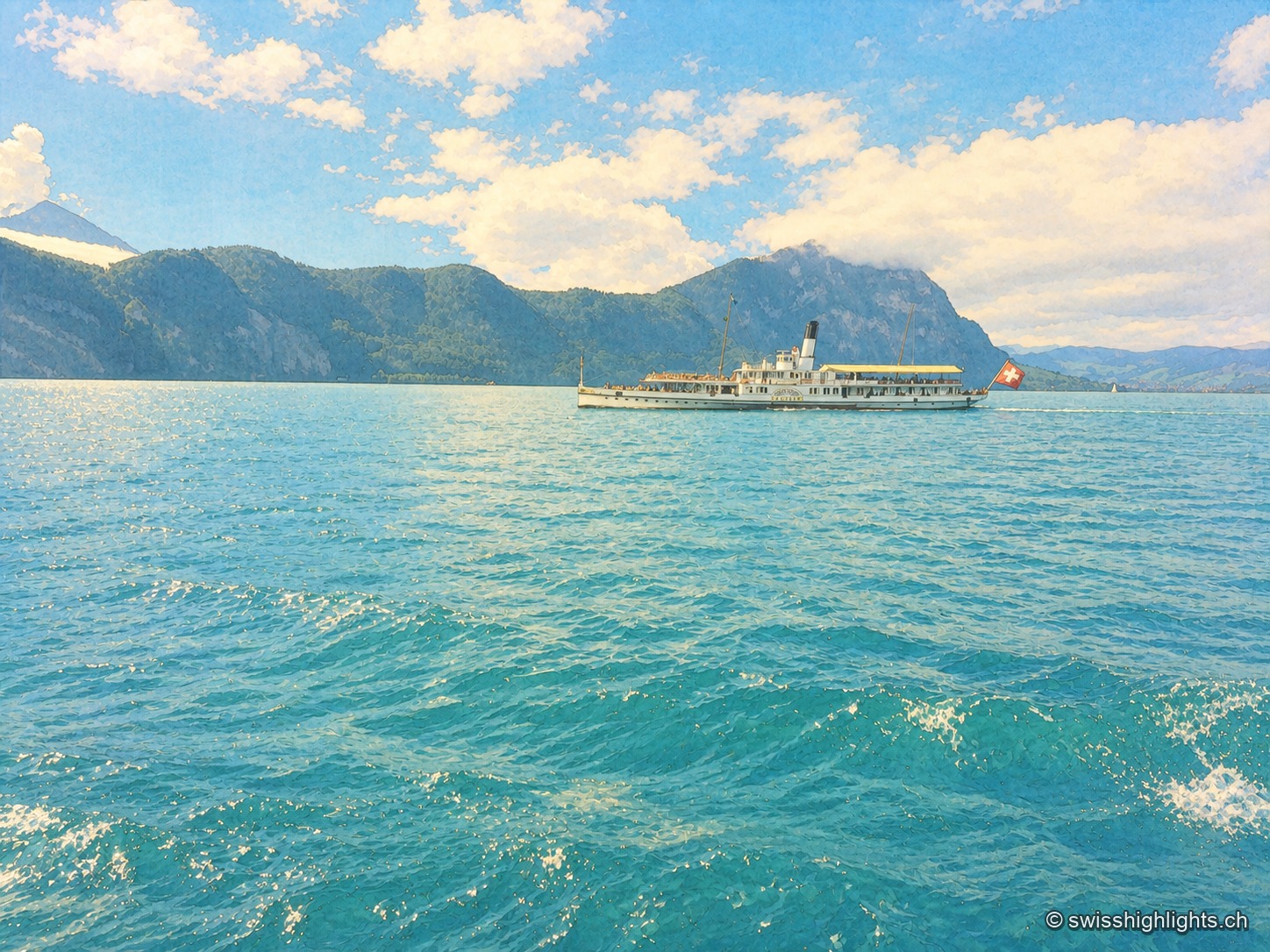
Glacial lake · Central Switzerland · 3 km as the crow flies
Lake Lucerne
The lake covers 114 km² at 434 metres above sea level and drops to 214 metres. Its basins change direction at every narrows, below the Pilatus at 2,129 metres and the Rigi at 1,798 metres.
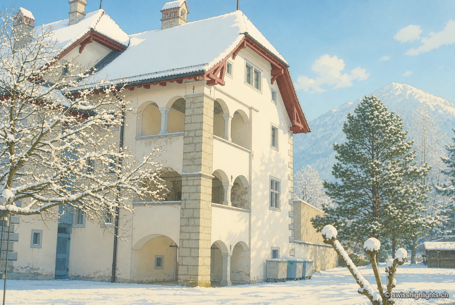
Below the Stanserhorn · Nidwalden · 5 km as the crow flies
Stans
In September 1798, French troops killed 414 residents there, including about a hundred women and twenty-six children, in response to the canton's resistance. Today Stans also lives on aviation, with the Pilatus Aircraft plant.
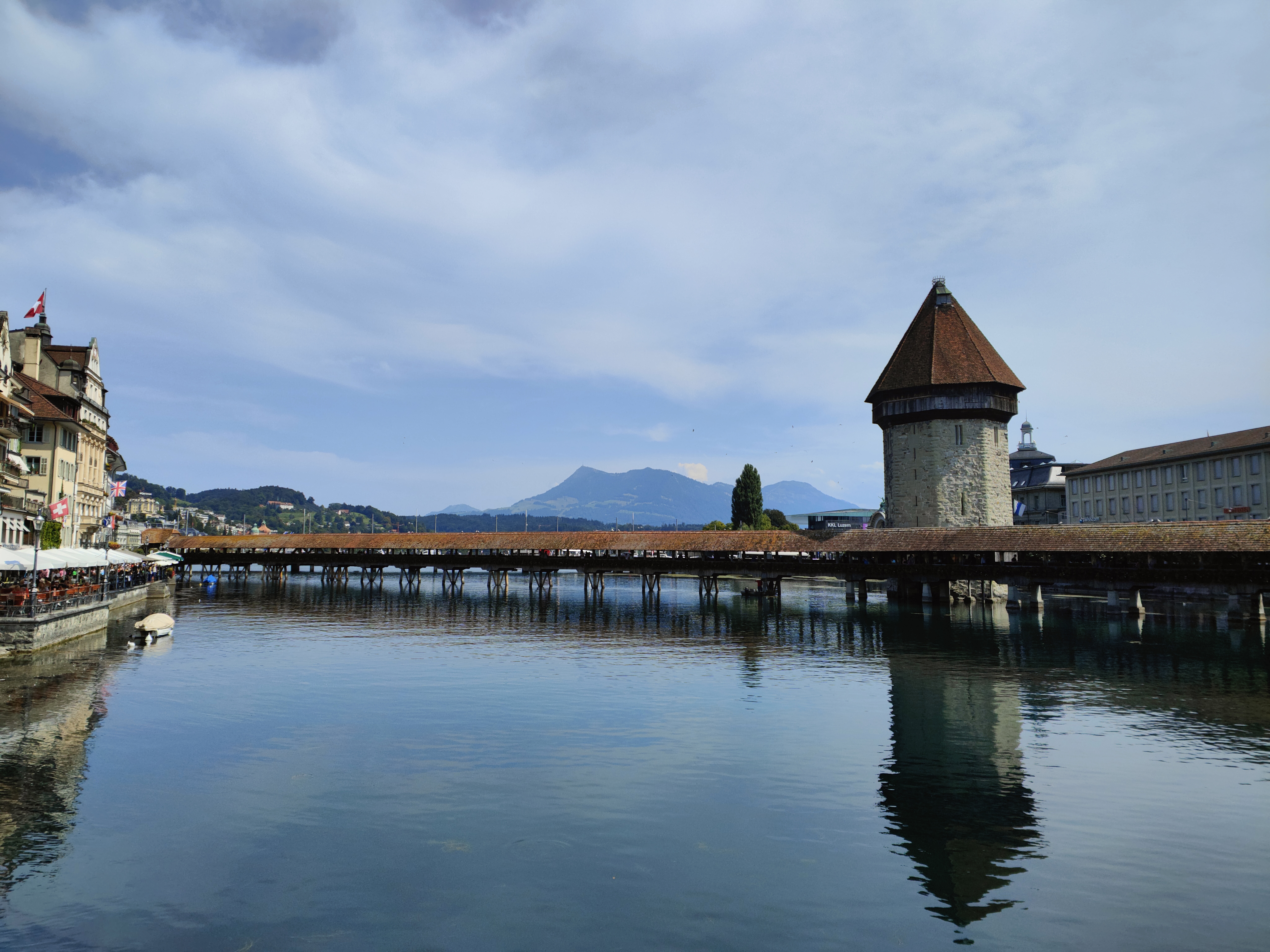
Old town and covered bridge · Lucerne · 8 km as the crow flies
Lucerne, old town and Kapellbrücke
It joined the Confederation in 1332, before any other town; along the Reuss, Lucerne lines up a wooden bridge of 1333, an octagonal water tower older than the bridge, and 870 metres of curtain wall with nine towers.