City · Canton of Geneva
Geneva
Switzerland's second city, at the south-western tip of Lake Geneva and on both banks of the Rhône, seat of 39 international organisations.
Geneva sits at the south-western tip of Lake Geneva, where the Rhône leaves the lake and resumes its course. The city lies in a basin whose entire rim — the Salève, the Voirons, the Môle, the Vuache, the Jura — stands on French soil. The old town grew on a hill on the left bank and along both banks of the river, around the Île. The commune covers only 15.93 km², 92.0% of it housing and infrastructure, and counted 203,856 inhabitants on 1 January 2021.
What strikes first is the gap between that surface and the city's reach. On the same date the cross-border metropolitan area held 1,053,436 inhabitants over 2,292 km², shared between Switzerland and France; the Grand Genève, a cooperation body created in 2013, counted 1,046,168, with 58.3% on the Swiss side and 41.7% on the French side. The canton hosts 39 international organisations and 431 non-governmental organisations — the European seat of the United Nations, the International Committee of the Red Cross, the World Health Organization, the World Trade Organization, the International Labour Organization — without Geneva being the political capital of any state.
Two rocks break the surface of the bay: the Pierres du Niton, blocks left by the last glaciation. Guillaume Henri Dufour took one of them as a benchmark, and every altitude in Switzerland is reckoned from that stone. Above them the Jet d'Eau rises to 140 metres and has been one of the city's draws since 1891.
The present commune is recent: it was formed in 1930 by the merger of Genève-Cité, Plainpalais, Les Eaux-Vives and Le Petit-Saconnex. The city had already spread in the 19th century, once its fortifications came down between 1850 and 1880. In 2000 its redesign of the Rhône embankments earned it the Wakker Prize of the Swiss Heritage Society.
Why this place is remarkable
Geneva carries functions out of all proportion to its 15.93 km²: 39 international organisations and 431 non-governmental organisations are based in the canton, and the city shares with Basel, New York and Strasbourg the trait of hosting such institutions without being a state capital. A quieter singularity goes with it: every altitude in Switzerland is measured from a rock in its bay.
History and origin
The name appears in Julius Caesar as Genava, on land then held by the Allobroges; it is traced either to a Ligurian root evoking nearby water or to the Gaulish *genu-, “mouth”. The basin the city occupies is closed by ridges — the Jura, the Vuache, the Salève chain — raised by the final phases of the Alpine orogeny 5 to 10 million years ago; those movements still register as measurable seismic activity.
What to do and see
- Walk along the Rhône to the Île, where the old town formed, between the hill on the left bank and the river's two shores.
- Look in the harbour for the Pierres du Niton, blocks deposited by the last glaciation, one of which serves as the reference point for calculating all Swiss altitudes since Guillaume-Henri Dufour.
- Watch the Jet d'Eau, which rises to 140 metres and has been one of the city's attractions since 1891.
As a couple
- Walk along the banks of the Rhône, redeveloped in 2000, winner of the Wakker Prize of the Swiss Heritage Society.
- Search together for the Niton stones in the bay, the reference point for Switzerland's altitude measurements.
- Watch the Jet d'Eau from the shore, a symbol of the city since 1891, while recalling the 39 international organisations based in the canton.
Location
Loads an interactive Google Maps view on demand, from the place's verified coordinates.
The embedded map will be enabled once an authorized Google Maps key is configured. Use the link above in the meantime.
The map could not load. Check your connection or use the link above to open the place in Google Maps.
Related places
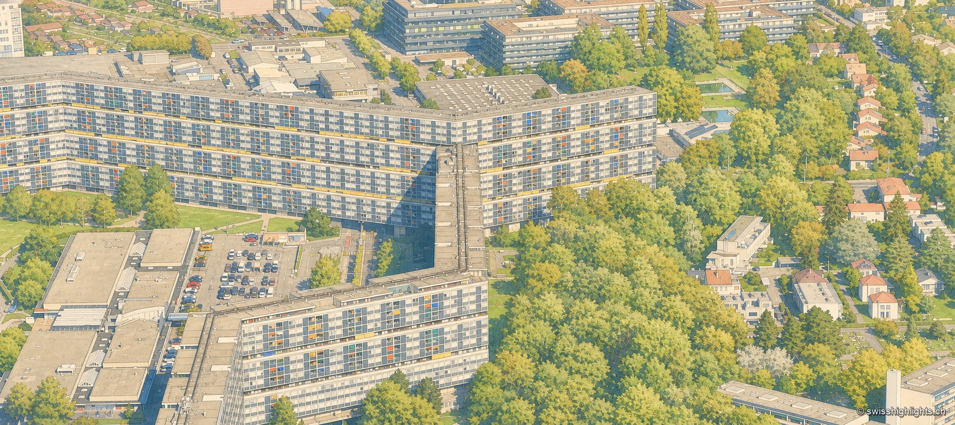
Modernist estate · Geneva · 4 km as the crow flies
Cité du Lignon
Built between 1962 and 1971 on former farmland in Vernier, the estate holds 2,780 dual-aspect flats and two towers, one of them 91 metres high, on just 8% of its ground.
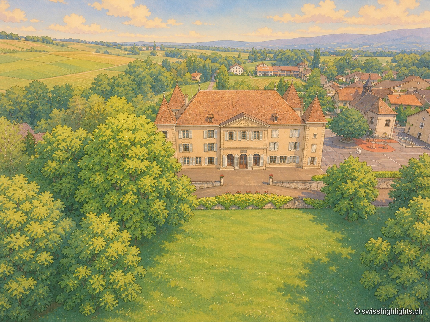
Wine-growing village · Geneva · 12 km as the crow flies
Dardagny
The largest château in the canton of Geneva, rebuilt by the banker Jean Vasserot in 1723, holds the centre of the village; in 1978 the Wakker Prize honoured the conservation of the site, a member since 2021 of the Most Beautiful Villages of Switzerland.
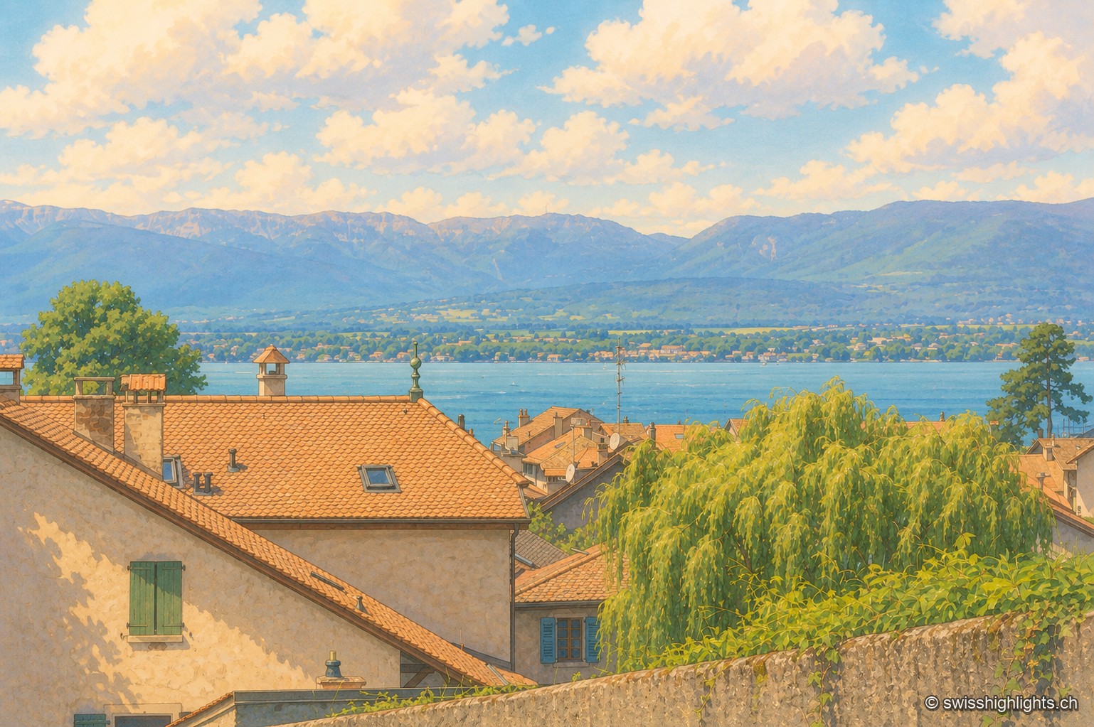
Medieval town · Geneva · 13 km as the crow flies
Hermance
A new town laid out by the lords of Faucigny, Hermance still has its ring wall, the round keep raised around 1337-1338 and a harbour of 159 berths. Savoyard until the Treaty of Turin of 1816, it covers just 1.44 km².