Former republic · Schwyz
Gersau
Schwyz village on Lake Lucerne, a sovereign republic from 1390 to 1817, now among the Most Beautiful Villages of Switzerland.
Gersau is a commune in the canton of Schwyz, itself forming the district of Gersau, on the southern shore of Lake Lucerne. Sheltered from the wind by the Rigi-Hochfluh and the Gersauerstock to the north, it enjoys a particularly mild climate in which sweet chestnut trees grow, earning the place the nickname Riviera of Lake Lucerne. The commune today covers 14.37 square kilometres and had 2,462 inhabitants at the end of 2024, a density of 171 inhabitants per square kilometre.
First mentioned in 1064, Gersau allied with the Old Swiss Confederacy of eight cantons as early as 1359; on 9 July 1386, men of Gersau fought alongside the Confederates for the first time, at the Battle of Sempach, where they captured the banner of Count Rudolf of Hohenzollern. In 1390 the inhabitants bought their freedom from their Habsburg overlords; in 1433 Emperor Sigismund granted them imperial immediacy over a territory of around 24 square kilometres, under the protection of the four forest cantons, Lucerne, Schwyz, Uri and Unterwalden.
The small republic's economy rested on silk spinning: around 1730, up to seven Gersau men worked as fergger for outside merchant houses, before Johann Anton Küttel became the village's first silk publisher in 1760. In the 18th century, the silk industry supported between 9,000 and 10,000 people across a wide catchment area stretching from Gersau to the Engelberg valley; the firm Camenzind + Co. AG remained, according to a 2021 source, the only active silk-spinning mill in Switzerland.
The French invasion of 1798 attached Gersau to the Helvetic Republic and then to the canton of Waldstätten; the small republic briefly re-emerged in 1814 before the Federal Diet decided in 1817 to force its union with the canton of Schwyz, effective from 1 January 1818, as the sixth and last district of the canton. The parish church of St Marzellus, attested from 1179, was rebuilt between 1806 and 1812 by the architect Jakob Nater. Since 2019, Gersau has belonged to the Most Beautiful Villages of Switzerland association.
Why this place is remarkable
Gersau is remembered as one of Europe's smallest sovereign republics: from 1390, when its inhabitants bought their freedom from their Habsburg overlords, to 1817, when the Federal Diet forced its union with the canton of Schwyz, it lived under its own authority for more than four centuries, protected by the four forest cantons. The particularly mild climate of its site, sheltered by the Rigi and open to Lake Lucerne, fed an 18th-century silk industry that employed up to 10,000 people across the region, while the church of St Marzellus, attested since 1179, anchors the village in an even longer history.
History and origin
Gersau is first mentioned in 1064. Allied with the Confederacy from 1359, it bought its freedom from its Habsburg overlords in 1390 and in 1433 obtained from Emperor Sigismund recognition of its imperial immediacy, becoming a sovereign republic of around 24 square kilometres under the protection of the four forest cantons. The French invasion of 1798 ended this independence; the republic briefly re-emerged in 1814, before the Federal Diet decided in 1817 on its union with the canton of Schwyz, effective 1 January 1818, as the sixth and last district of the canton.
What to do and see
- Walk through the village, sheltered from the wind by the Rigi-Hochfluh and the Gersauerstock, where chestnut trees grow thanks to a particularly mild climate.
- Visit the parish church of St. Marcellus, attested from 1179 and rebuilt between 1806 and 1812 by the architect Jakob Nater.
- Recall, while walking, Gersau's status as a former sovereign republic, from 1390 to 1817.
As a couple
- Walk along Lake Lucerne in this village nicknamed the Riviera of the lake, sheltered by the Rigi.
- Recall that Gersau was one of the smallest sovereign republics in Europe, from 1390 to 1817, before its forced annexation to the canton of Schwyz.
- Stop at the church of St. Marcellus, whose origins go back to 1179.
Location
Loads an interactive Google Maps view on demand, from the place's verified coordinates.
The embedded map will be enabled once an authorized Google Maps key is configured. Use the link above in the meantime.
The map could not load. Check your connection or use the link above to open the place in Google Maps.
Related places
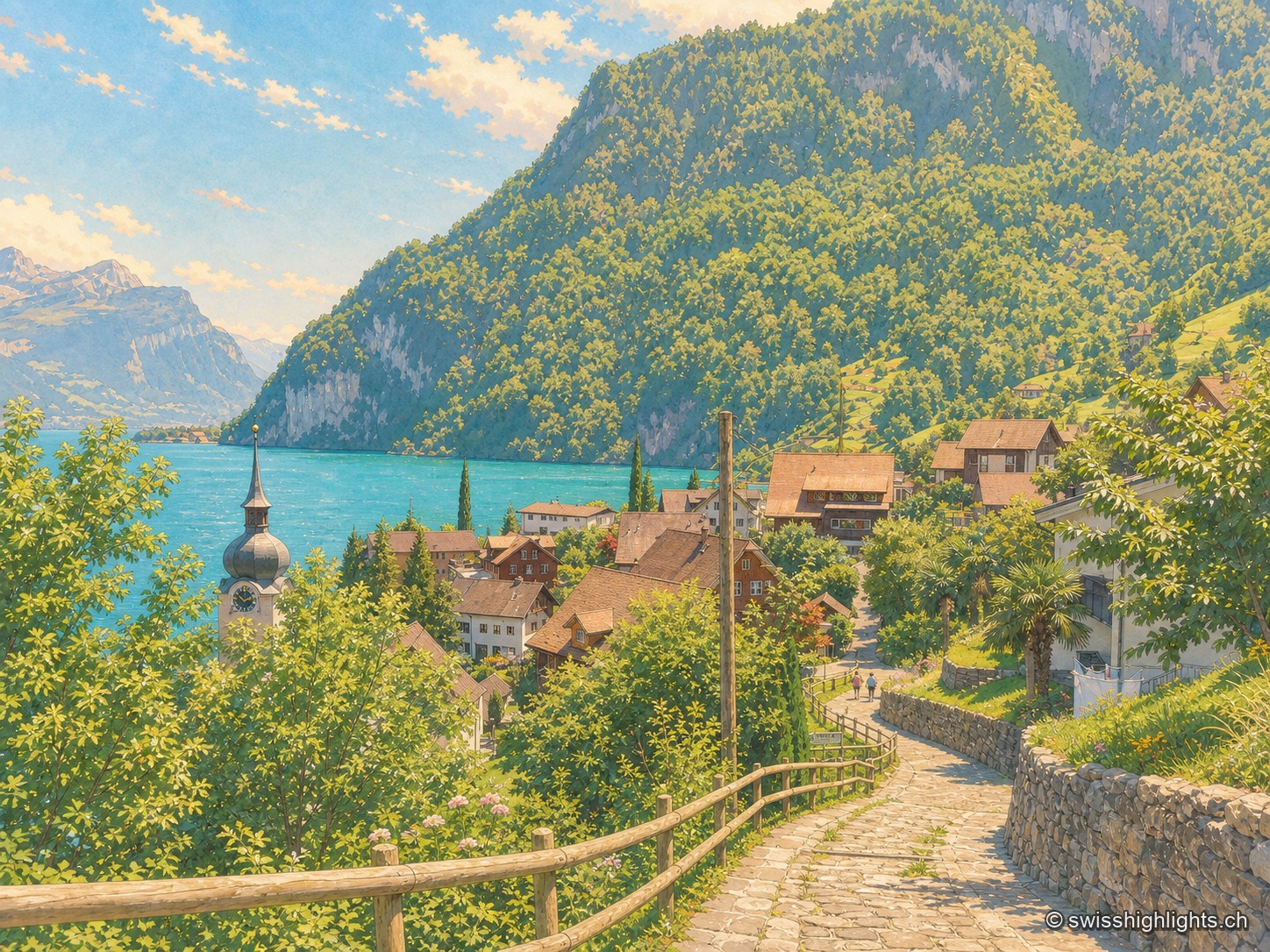
Lakeshore, Nobel's factory, anthem · 7 km as the crow flies
Bauen
On the west shore of Lake Uri, at the foot of the Bauenstöcke, the mild climate (figs, palm trees) contrasts with the industrial history of neighbouring Isleten, where Nobel produced dynamite and later blasting gelatin until 2003.
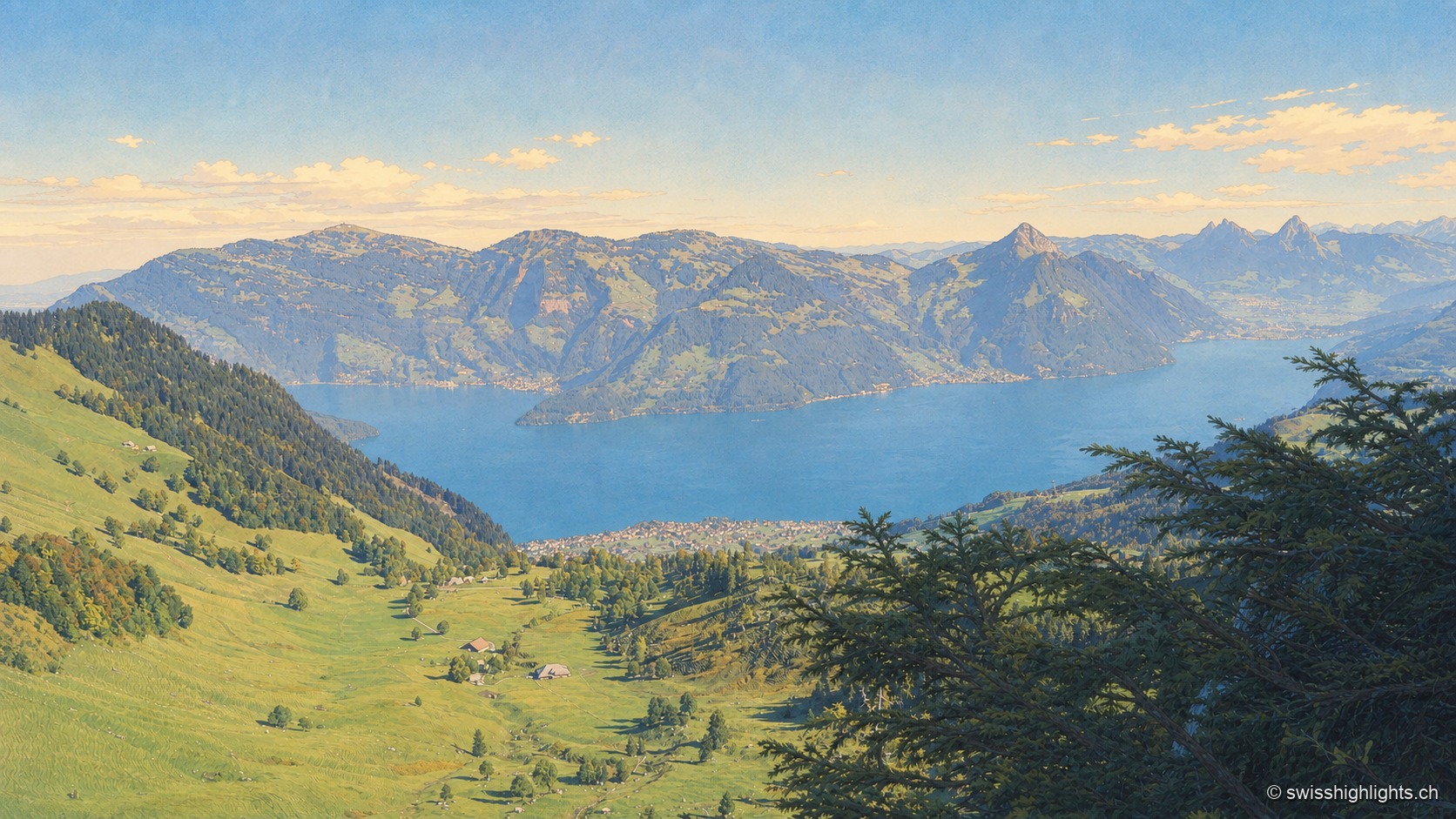
Mountain · Schwyz and Lucerne · 8 km as the crow flies
Rigi
Rigi Kulm stands at 1,797 metres above Lake Lucerne, Lake Zug and Lake Lauerz. The name comes from the bands of rock and grass that ring the summit; the rack railway has climbed it since 1871, the first in Europe.
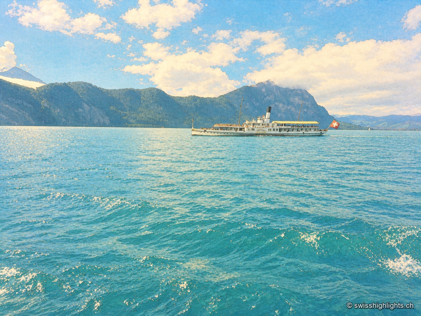
Glacial lake · Central Switzerland · 10 km as the crow flies
Lake Lucerne
The lake covers 114 km² at 434 metres above sea level and drops to 214 metres. Its basins change direction at every narrows, below the Pilatus at 2,129 metres and the Rigi at 1,798 metres.