Glacial lake · Central Switzerland
Lake Lucerne
A glacial lake in central Switzerland, 38 kilometres long and 214 metres deep, cut into basins closed off by narrows.
Lake Lucerne is not a single sheet of water but a run of basins with different orientations, separated by narrows: the Nasen narrows join the Weggis basin to the Gersau basin, 13 kilometres long. The whole measures 38 kilometres, covers 114 km² at 434 metres above sea level and reaches 214 metres deep. Around it the summits close the horizon — the Pilatus at 2,129 metres, the Rigi at 1,798 metres, the Uri-Rotstock at 2,826 metres, whose limestone walls drop straight into the water.
The climate here is held to be mild by the standards of the Swiss Alps: the lake is sheltered from northerly winds, receives a warm dry foehn down the Reuss valley, and its own body of water softens the extremes. The consequence shows at Gersau, where Mediterranean plants and a few palms grow in the hotel parks. The mountains around it alternate limestone, marl and flysch; at the western end the hard molasse of the Swiss plateau outcrops.
The basin was overdeepened by the Reuss glacier, then filled after the ice withdrew 12,000 years ago; the Glacier Garden in Lucerne keeps the traces. The shores have been inhabited since prehistory, and antiquity left Roman settlements here; in the Middle Ages the region became a corridor towards the Gotthard pass, between Germany and Italy, and Lucerne a trading town. The name came later: Waldstätten denotes the three original cantons — Uri, Schwyz and Unterwalden with its half-cantons Obwalden and Nidwalden — joined by Lucerne; before the 16th century it was simply called the Lake of Lucerne. It is on the Rütli meadow, at the water's edge, that legend places the oath of 1291.
In the 19th century the lake drew artists from elsewhere: in 1832 Ludwig Rellstab heard, in the first movement of Beethoven's fourteenth piano sonata, a boat by moonlight on this lake, and Turner made several paintings of it. Today some of the boats crossing the lake date from the early 20th century, two rack railways climb to the Rigi and to the Pilatus — the latter described as the steepest in the world — and the Swiss Path runs round the lake, serving the Rütli, the Tellsplatte, the Tell chapel and Küssnacht. A less visible part of that history lies on the bottom: 2,800 tonnes of munitions were sunk in the Lake of Uri and 530 tonnes in the Gersau basin.
Why this place is remarkable
What sets this lake apart is its shape: not an open expanse but a run of basins that change axis at every narrowing, so that no shore shows the whole of it. Limestone walls plunge straight into the water, the Uri-Rotstock stands 2,826 metres above it, and yet shelter from northerly winds and the foehn from the Reuss valley keep a climate mild enough for palms to hold in the parks of Gersau.
History and origin
The lake fills a trough overdeepened by the Reuss glacier; after the ice withdrew, 12,000 years ago, water filled the basin. The surrounding relief alternates limestone, marl and flysch, and the hard molasse of the Swiss plateau outcrops at the western end. The present name only took hold after the 16th century, replacing “Lake of Lucerne”: Waldstätten there denotes Uri, Schwyz and Unterwalden, joined by Lucerne.
What to do and see
- Follow the Nasen narrows, which connect the Weggis basin with the Gersau basin.
- Reach the Rütli meadow, on the water's edge, where legend places the 1291 oath.
- Observe, from Gersau, the palm trees and Mediterranean plants that the lake's sheltered climate allows.
- Follow the Swiss Path along the lake, passing through Rütli, the Tellsplatte, and the Tell chapel.
As a couple
- A journey by boat or along the shore to pass from one basin to another, each with a different character.
- The Rütli meadow, steeped in the legend of the 1291 oath.
- The limestone walls of the Uri-Rotstock, dropping straight into the water, to observe from the shore.
- A stop in Gersau, where the lake's mild climate lets palm trees grow in the hotel gardens.
Munitions were sunk in the lake — 2,800 tonnes in the Lake of Uri, 530 tonnes in the Gersau basin — and are a potential source of pollution.
Munitions have been dumped in the lake — 2,800 tonnes in the Lake of Uri, 530 tonnes in the Gersau basin — a potential source of pollution flagged in the warnings.
Location
Loads an interactive Google Maps view on demand, from the place's verified coordinates.
The embedded map will be enabled once an authorized Google Maps key is configured. Use the link above in the meantime.
The map could not load. Check your connection or use the link above to open the place in Google Maps.
Related places
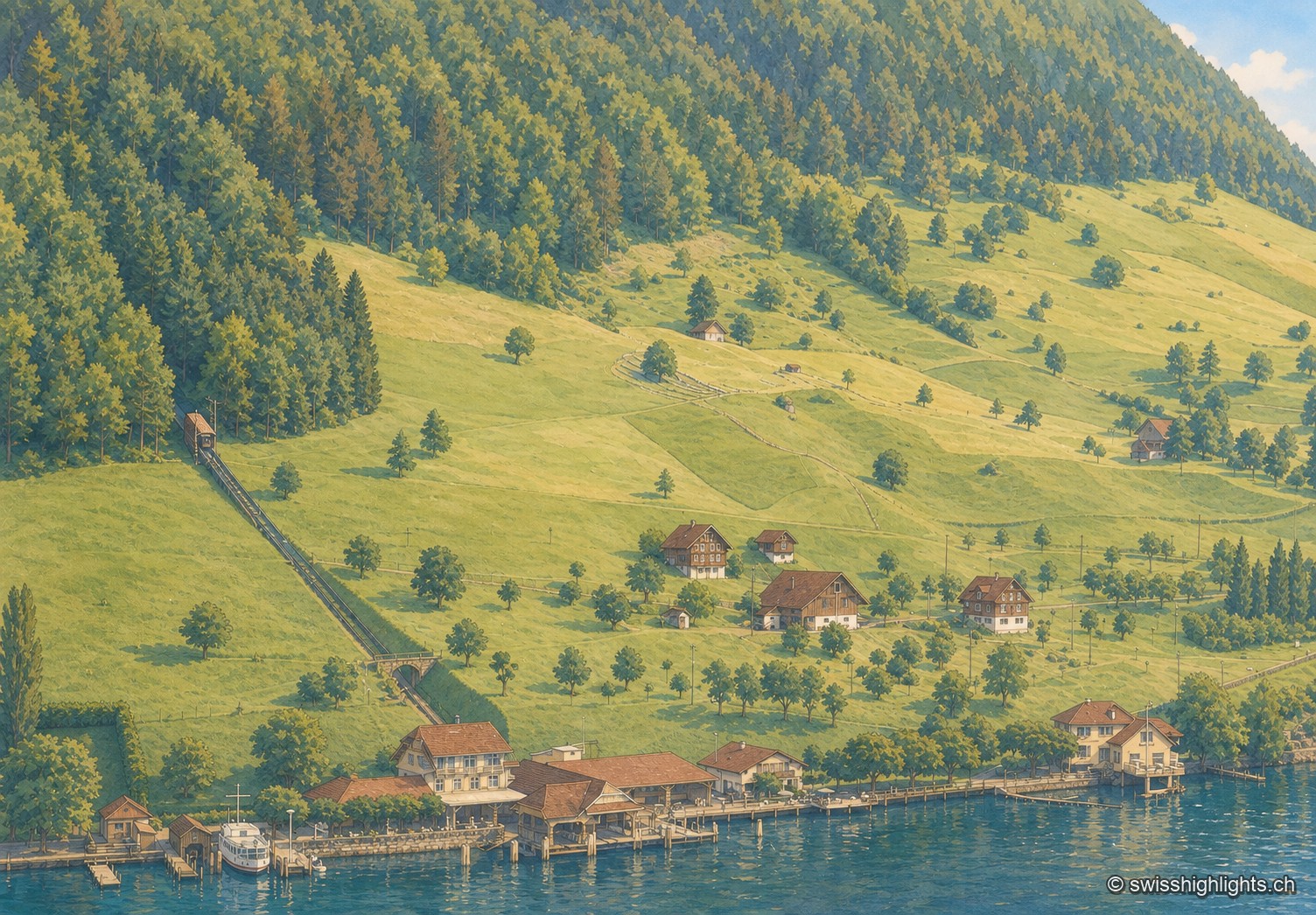
Lakeside village · Nidwalden · 3 km as the crow flies
Kehrsiten
The village, at 483 m and with its own postal code (6365), had several lakeside hotels in the 1950s — the Baumgarten, the Seeblick, the Wilhelm Tell — documented by ETH-Bibliothek aerial photographs.
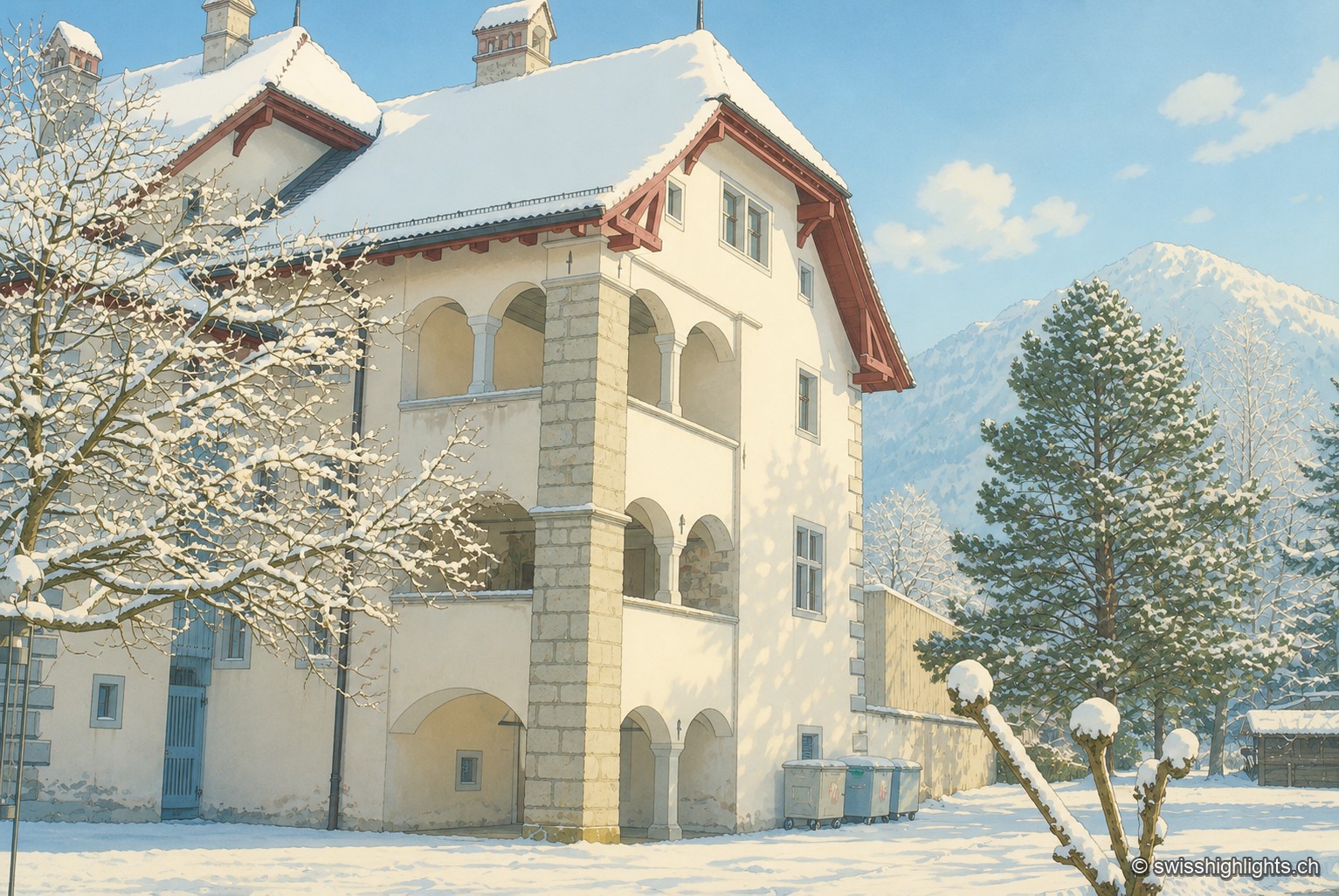
Below the Stanserhorn · Nidwalden · 7 km as the crow flies
Stans
In September 1798, French troops killed 414 residents there, including about a hundred women and twenty-six children, in response to the canton's resistance. Today Stans also lives on aviation, with the Pilatus Aircraft plant.
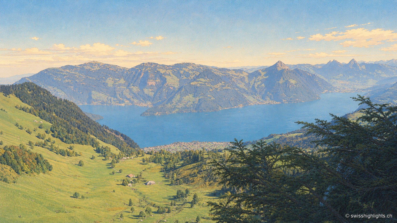
Mountain · Schwyz and Lucerne · 8 km as the crow flies
Rigi
Rigi Kulm stands at 1,797 metres above Lake Lucerne, Lake Zug and Lake Lauerz. The name comes from the bands of rock and grass that ring the summit; the rack railway has climbed it since 1871, the first in Europe.