Mountain · Schwyz and Lucerne
Rigi
An isolated massif between three lakes in central Switzerland, climbed from 1871 by the first mountain railway in Europe.
The Rigi is an isolated massif in central Switzerland, ringed by Lake Lucerne, Lake Zug and Lake Lauerz. Its high point, Rigi Kulm, reaches 1,797 metres; the Rigi Hoflue, the Dossen, the Rigi Scheidegg and the summit Lucerne calls Vitznauerstock and Schwyz calls Gersauerstock stay a little lower. The mountain belongs to both cantons at once. It is not Alpine for all that: apart from a few limestone crags in the south, it belongs to the Subalpine Molasse, and so to the Swiss plateau.
The name says nothing about a crown. From 1479 the humanists derived it from the Latin Regina montium, queen of mountains; the history of the language does not follow them. Rigi is a Swiss German word for a horizontal stratification, a band: the bands that rock and grass draw in turn around the summit, from west to east, and that can be seen from far off. The oldest documents use the plural, Rigenen, because those bands are many; the singular appears in a deed of 1439, when the common noun becomes the name of the mountain.
People have come here for a long time: the virtue of the Rigi Kaltbad spring is recorded as early as 1540, and by the eighteenth century the mountain was already a destination known well beyond its region. Goethe came up in 1775 for the view alone, Victor Hugo in 1839 from Weggis, Turner brought back three watercolours, among them The Blue Rigi, Sunrise. A first wooden guest house rose on the Kulm in 1816; in 1875 the Grand Hotel Schreiber opened with its 300 beds, demolished in the early 1950s. On 21 May 1871 the line from Vitznau became the first mountain railway in Europe; the Arth-Goldau line followed in 1875 and would be, in 1907, the first standard-gauge rack railway in the world to run on electricity.
Why this place is remarkable
The Rigi is the mountain where the excursion turned into an industry, and the landscape still shows it: a hotel on the summit from 1816, a rack railway since 21 May 1871 — the first in Europe — and before that visitors who came for the view alone, Goethe in 1775, Hugo in 1839, Turner and his watercolours. The massif itself is no Alpine peak: it is molasse, and its name refers only to the bands of rock and grass that run around it.
History and origin
Apart from the limestone crags of the Hoflue and the Gersauerstock in the south, the Rigi belongs not to the Alps but to the Subalpine Molasse, that is, to the Swiss plateau. Its rock, weakly bound, packs together material of every size: it is called Nagelfluh. The west and north slopes take heavy rain, which strips the soil in places and elsewhere piles up thick loose deposits mixed with humus.
What to do and see
- Observe the horizontal bands of rock and grass that run around the massif from west to east and gave it its name.
- Ride up to Rigi Kulm on the line opened on 21 May 1871 from Vitznau, Europe's first mountain railway.
- Spot the three lakes that surround the isolated massif from the summit: Lake Lucerne, Lake Zug and Lake Lauerz.
- Look for the site of the former Grand Hôtel Schreiber, demolished in the early 1950s, and picture the view that attracted Goethe in 1775 and Hugo in 1839.
Coming with family: what to know
- The rack railway journey up to the Kulm suits a mountain train outing rather than a hike.
As a couple
- Choose the Arth-Goldau line, the world's first electrified standard-gauge rack railway in 1907, for a different ascent.
- Enjoy the view that inspired Turner to paint three watercolours, including The Blue Rigi, Sunrise.
- Dwell on the fact that the mountain belongs to both the cantons of Schwyz and Lucerne, each naming the same secondary summit differently.
Location
Loads an interactive Google Maps view on demand, from the place's verified coordinates.
The embedded map will be enabled once an authorized Google Maps key is configured. Use the link above in the meantime.
The map could not load. Check your connection or use the link above to open the place in Google Maps.
Related places
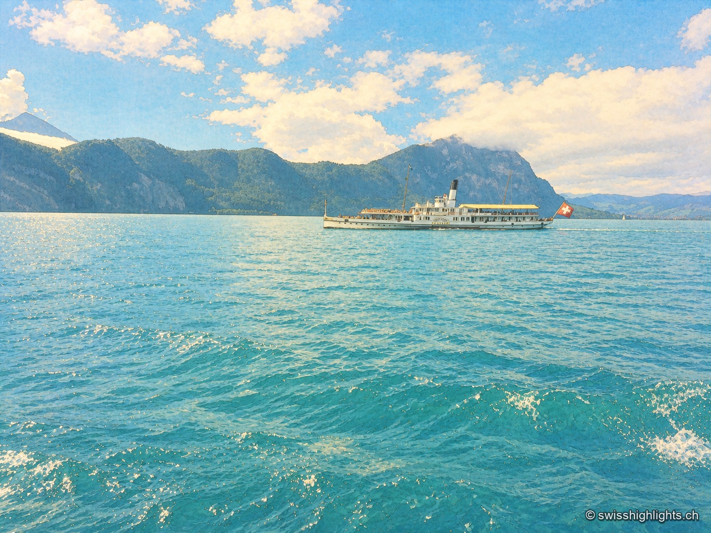
Glacial lake · Central Switzerland · 8 km as the crow flies
Lake Lucerne
The lake covers 114 km² at 434 metres above sea level and drops to 214 metres. Its basins change direction at every narrows, below the Pilatus at 2,129 metres and the Rigi at 1,798 metres.
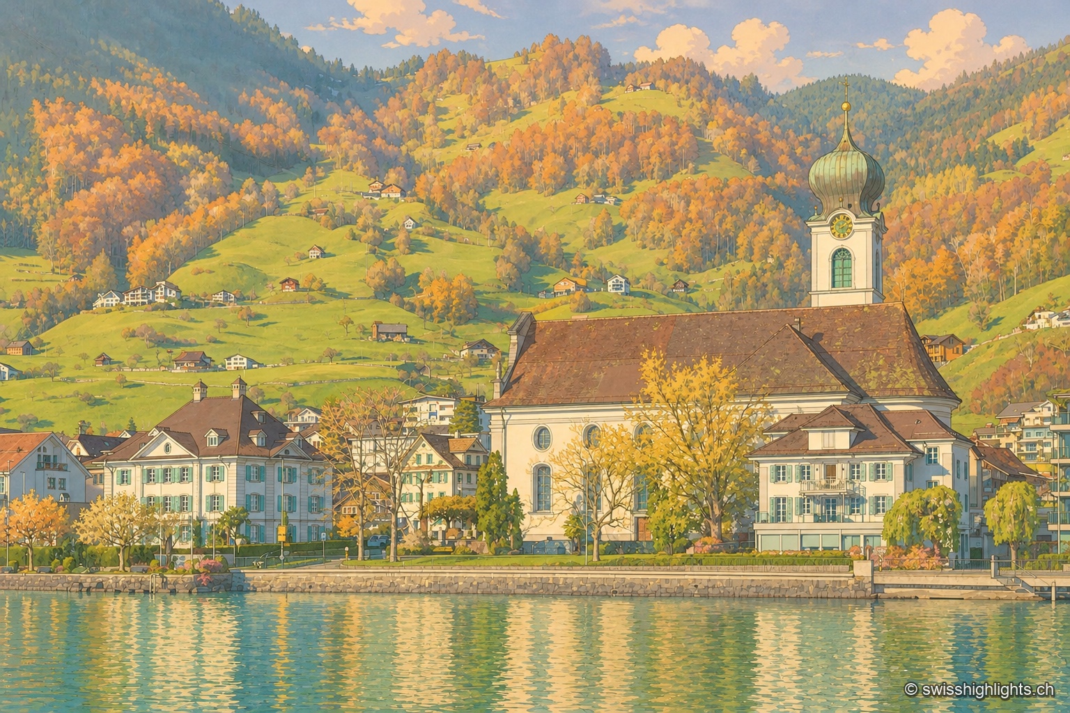
Former republic · Schwyz · 8 km as the crow flies
Gersau
Gersau was a sovereign republic from 1390 to 1817, recognised by Emperor Sigismund in 1433; sheltered by the Rigi on Lake Lucerne, it keeps its mild climate and its church of St Marzellus, attested from 1179.
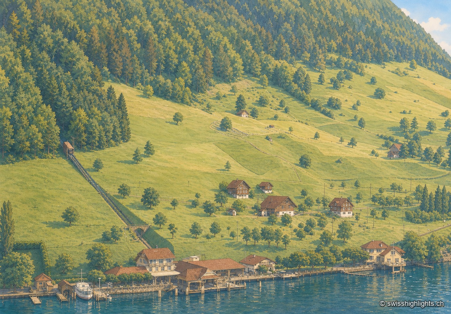
Lakeside village · Nidwalden · 10 km as the crow flies
Kehrsiten
The village, at 483 m and with its own postal code (6365), had several lakeside hotels in the 1950s — the Baumgarten, the Seeblick, the Wilhelm Tell — documented by ETH-Bibliothek aerial photographs.