Summit · Bernese Alps
Jungfrau
A summit of the Bernese Alps at 4,158 metres, on the boundary between Bern and Valais, third term of the trio it forms with the Eiger and the Mönch.
The Jungfrau is a distinct summit of the Bernese Alps: it reaches 4,158 metres, on the boundary between the canton of Bern and Valais. On one side it overlooks the valleys of Lauterbrunnen and Grindelwald, on the other Lake Thun. With the Eiger and the Mönch, its two neighbours, it forms a trio whose north faces line up — and it is that row, seen from the north, that made the group's reputation long before the summit itself was climbed.
Its climbing history begins in 1811 with the Meyer brothers, of Aarau: their ascent took three days, a length the sheer scale of the range is enough to explain. The first guideless ascent followed in 1881, the first by the north face in 1926. The mountain has lost none of its severity: on 12 July 2007 an avalanche released at 3,800 metres on the south face swept away two rope teams of Swiss army mountain specialists and killed them all.
Since 1912 the Jungfrau Railway, the highest rack railway in Europe, has run up to the Jungfraujoch, the col between the Mönch and the Jungfrau, above 3,400 metres. In 2001 UNESCO inscribed the Swiss Alps Jungfrau-Aletsch site — the Jungfrau, the Aletsch Glacier and the Bietschhorn — on the World Heritage List. The mountain also circulates in images: on a commemorative 10-franc coin struck in 2005, on the official Federal Council photograph of 2024 and, far earlier, in Alphonse Daudet's novel in which Tartarin climbs it, published in 1885.
Why this place is remarkable
Few summits of this altitude can be approached so closely: since 1912 a rack railway has set travellers down above 3,400 metres, at the Jungfraujoch, in the notch that separates the Mönch from the Jungfrau. To that is added the arrangement of the group: the Eiger, the Mönch and the Jungfrau align their north faces side by side, so that the mountain can be read in a single glance from the valley.
History and origin
The name means literally “young woman” and can also be rendered as “maiden”. It did not first denote the peak: the alpine pastures north-west of the mountain belonged to Augustinian nuns and were for that reason called the maidens' mountains, and the name eventually travelled up to the summit.
What to do and see
- Reach the Jungfraujoch by train, above 3,400 metres, between the Mönch and the Jungfrau, via Europe's highest rack railway.
- Observe from the valley the alignment of the north faces of the Eiger, the Mönch and the Jungfrau.
- Place the summit within the UNESCO Swiss Alps Jungfrau-Aletsch site, which brings together the Jungfrau, the Aletsch glacier and the Bietschhorn.
Coming with family: what to know
- Climbing the summit is a matter of high-mountain mountaineering: on 12 July 2007, an avalanche at 3,800 metres on the south face killed two roped teams of Swiss army specialists. The Jungfraujoch, reachable by train, is a distinct experience from the ascent itself.
As a couple
- Ride together up to the Jungfraujoch on the 1912 rack railway, through the notch between the Mönch and the Jungfrau.
- Contemplate from the Lauterbrunnen or Grindelwald valley the alignment of the three north faces.
- While admiring the massif, discuss the origin of its name, linked to the alpine pastures of Augustinian nuns — the 'maidens' peaks.'
Climbing it is high-altitude mountaineering. On 12 July 2007 an avalanche released at 3,800 metres on the south face swept away two rope teams of three men and left no survivors.
Location
Loads an interactive Google Maps view on demand, from the place's verified coordinates.
The embedded map will be enabled once an authorized Google Maps key is configured. Use the link above in the meantime.
The map could not load. Check your connection or use the link above to open the place in Google Maps.
Related places
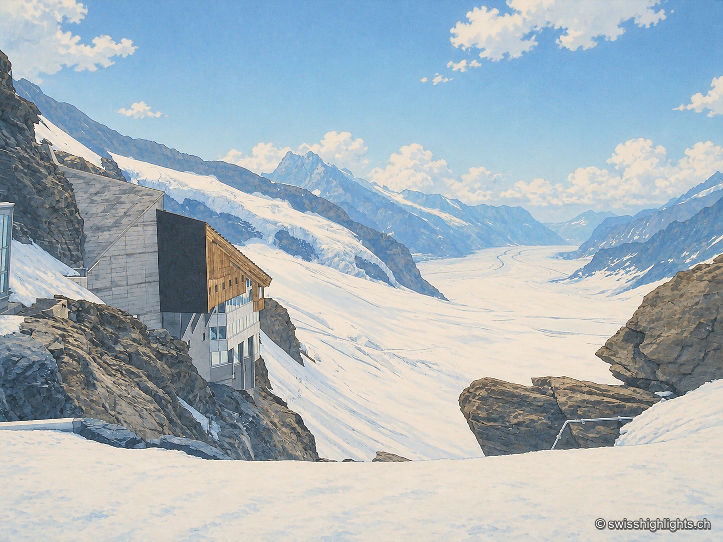
Railway pass · Bernese Alps · 2 km as the crow flies
Jungfraujoch
The line, proposed in 1893 by Adolf Guyer-Zeller and completed in 1912 after 7.1 km of tunnel under the Eiger and the Mönch, reaches 3,454 metres. The site drew more than a million visitors a year between 2017 and 2019.
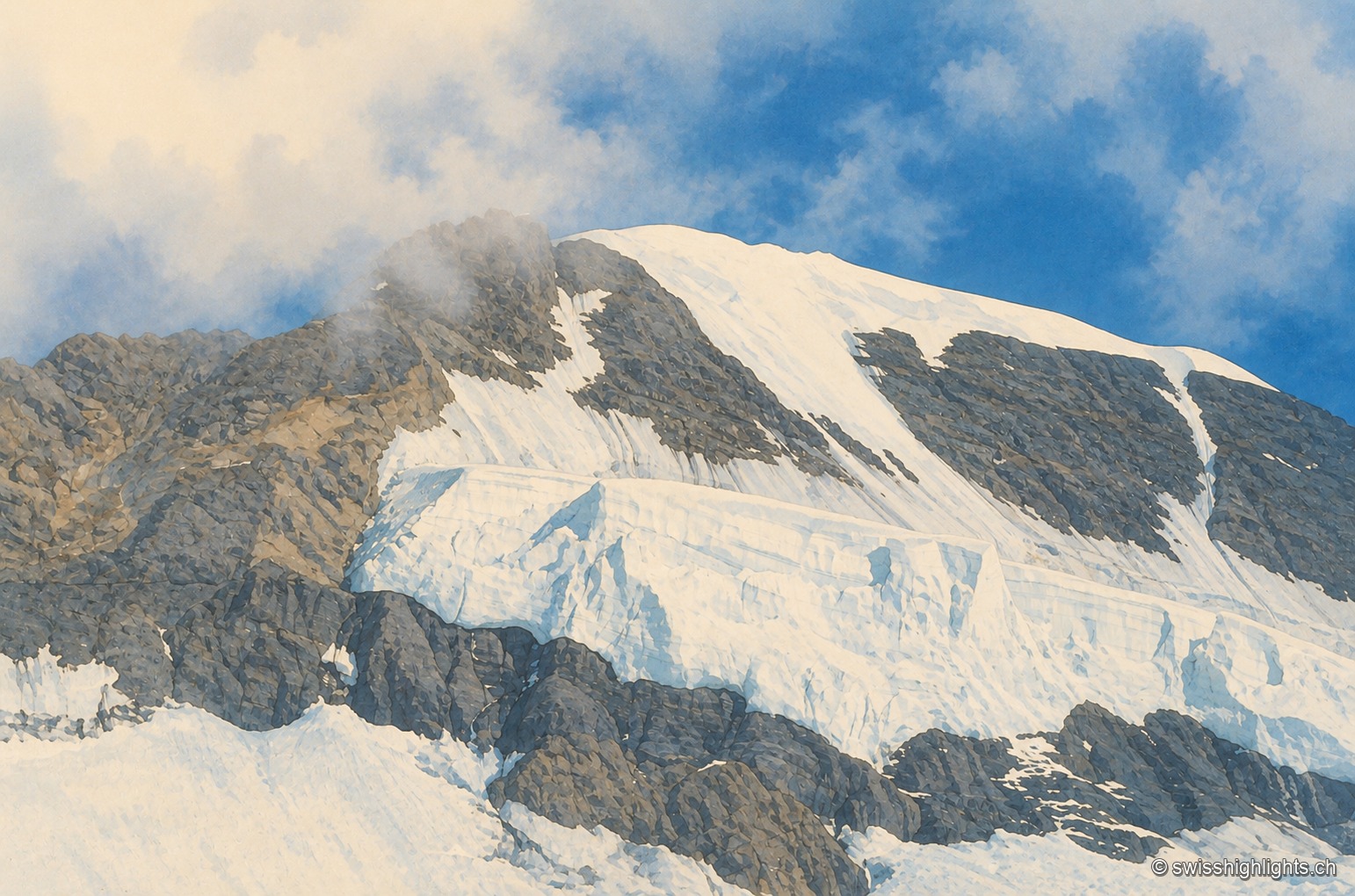
Bernese Alps summit · 4,110 m · 4 km as the crow flies
Mönch
Middle link of the Eiger–Mönch–Jungfrau chain, it reaches 4,110 metres. Its south face rests on the Jungfraufirn, a tongue of the Aletsch glacier; its name is thought to come from a horse pasture, not from a monk.
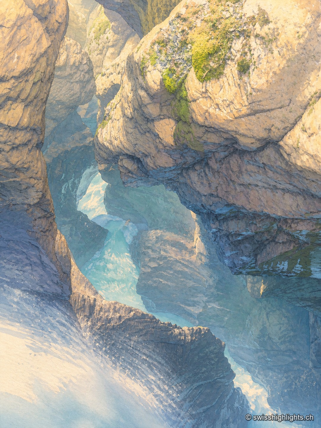
Underground falls · Bernese Oberland · 5 km as the crow flies
Trümmelbach Falls
The Trümmelbach alone drains the glacier faces of the Eiger, the Mönch and the Jungfrau: up to 20,000 litres a second in a gorge so narrow that daylight no longer reaches the upper falls.