River gorge · Bernese Oberland
Aare Gorge
In the Hasli valley, a 1,400-metre cut up to 180 metres deep that the Aare has carved through the limestone ridge of the Kirchet.
The Aare Gorge cuts through the Kirchet, a limestone ridge that bars the Hasli valley between the Grimsel Pass and Lake Brienz, within the commune of Meiringen (Bern). About 10,000 years ago, at the end of the last Ice Age, meltwater beneath the Aar glacier carved seven successive gorges through this ridge; the one visited today is the youngest of the seven, 1,400 metres long, up to 30 metres wide and barely 1 metre at its narrowest, and up to 180 metres deep. The site is listed on the federal inventory of landscapes and natural monuments of national importance.
A path was opened to visitors in 1888; the company that owns the site was founded in 1892 in Willigen. Since 1912, artificial lighting has allowed night walks. Two entrances serve the route: to the west, just past Meiringen coming from Interlaken or the Brünig Pass; to the east, one kilometre from Innertkirchen — both linked by the Meiringen-Innertkirchen railway, at the Aareschlucht West and Aareschlucht East stations.
Local legend placed a Tatzelwurm, a fabled worm or lizard, in the gorge, with reported sightings still recorded into the twentieth century; the creature now serves as the site's tourism mascot. A walk through the gorge inspired architect Rudolf Schwarz in the sequence of spaces and the handling of light he later gave to the church of St Michael in the Nordend district of Frankfurt.
Why this place is remarkable
The gorge open to visitors is the youngest of a series of seven, all carved by meltwater from the Aar glacier through the same limestone ridge: an open-air lesson in glacial erosion, up to 30 metres wide and narrowing in places to 1 metre. It has been open to visitors since 1888 and lit for night walks since 1912 — one of the oldest gorge-tourism sites in Switzerland.
History and origin
The Kirchet is a limestone ridge that once barred the Aare's flow out of the Grimsel region; about 10,000 years ago, meltwater beneath the Aar glacier cut seven transverse and longitudinal gorges through it. Today's Aare Gorge is the youngest of that series, 1,400 metres long, up to 30 metres wide, narrowing to 1 metre at its tightest point, and up to 180 metres deep. A path was built for visitors in 1888; the company that owns the site was founded in 1892 in Willigen, and artificial lighting has allowed night walks since 1912.
What to do and see
- Follow the 1400-metre path carved through the limestone lock of the Kirchet, to the narrowest point, barely 1 metre wide.
- Observe the traces of the seven successive gorges cut by meltwater from the Aar glacier around 10,000 years ago, of which this is the most recent.
- Choose one of the two entrances, at Meiringen or one kilometre from Innertkirchen, linked by the Meiringen-Innertkirchen railway.
- Spot the figures of the tatzelwurm, the fabled lizard of local legend that became the site's tourist emblem.
Coming with family: what to know
- The path runs along a deep-cut gorge, in places up to 180 metres deep: caution is needed on a narrow, overhanging route.
As a couple
- Walk through the youngest cut of a series of seven gorges carved by the same glacier, a route open since 1888.
- Extend the visit into the evening thanks to the artificial lighting installed since 1912 for night visits.
- Let yourselves be told the legend of the tatzelwurm while walking between walls narrowing to 1 metre.
Location
Loads an interactive Google Maps view on demand, from the place's verified coordinates.
The embedded map will be enabled once an authorized Google Maps key is configured. Use the link above in the meantime.
The map could not load. Check your connection or use the link above to open the place in Google Maps.
Related places
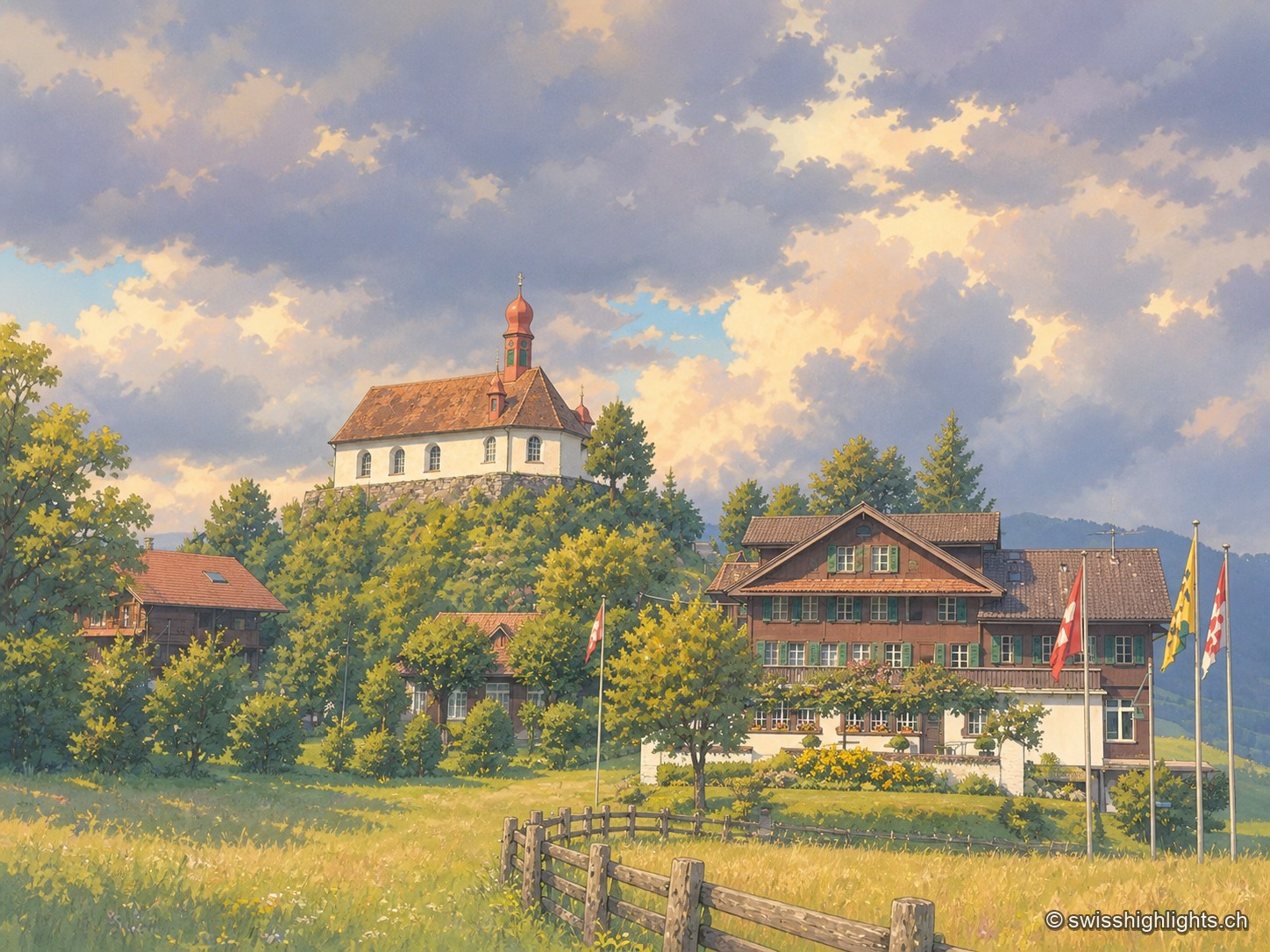
Pilgrimage village · Obwalden · 18 km as the crow flies
Flüeli-Ranft
Niklaus von Flüe (1417-1487) withdraws to the Ranft in 1467. The upper chapel is consecrated in 1469, the lower chapel built in 1501. Canonised on 15 May 1947 under Pius XII, he gave his name to the village, called only Flüeli until 1966.
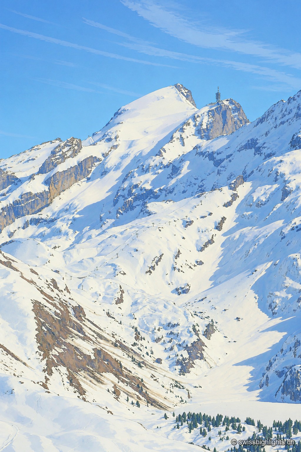
Summit · Obwalden–Bern · 18 km as the crow flies
Titlis
The Titlis reaches 3,238 metres at the end of an east–west limestone ridge. A glacier of 1.7 square kilometres covers its summit area; the upper cable-car station stands at 3,020 metres.
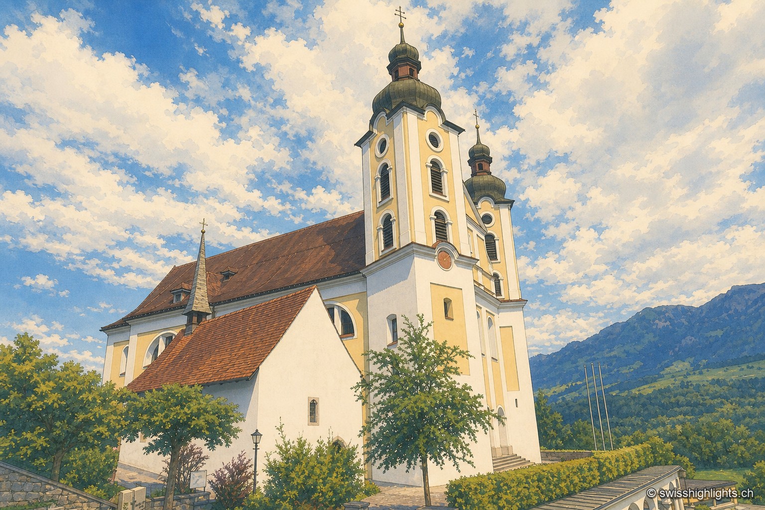
Historic quarter · Obwalden · 20 km as the crow flies
Kirchhofen
A mill first recorded in 1534 still turns here as a restaurant; Count Ulrich von Lenzburg had ceded his rights over Sarnen's church and over the "Unterer Hof" to Beromünster monastery, and that estate's name later gave the quarter its own.