Alpine gorge · Bovernier, Valais
Gorges du Durnand
An alpine torrent drops through fourteen waterfalls and giant's kettles over just over a kilometre, followed since 1877 by a trail of boardwalks and steps.
The Gorges du Durnand cut, over about a kilometre, into the slope separating the spurs of the Pointe Ronde and the Catogne, in the municipality of Bovernier, at 613 metres, south of Martigny. The Durnand rises in the Zennepi area, takes in a first tributary from the Pointe Ronde, then flows into the Dranse at the place called Borgeaud; it is fed mainly by the Arpette and Gurriaz glaciers. The passage illustrates an erosion phenomenon typical of alpine torrents: giant's kettles carved into the rock by the swirl of pebble-laden water.
A trail built in 1877 made the gorge accessible to the public; in places it turns into a series of wooden footbridges that cross the torrent and follow its fourteen waterfalls. About a kilometre long with 200 metres of elevation change and 330 steps, it takes roughly an hour to walk, with the option of returning via a forest path. Fully renovated and raised in 1987, it again needed major repairs after a flood in 2006, paid for with an investment of 70,000 Swiss francs from the local bourgeoisie (communal land corporation). Since 2019, two metal footbridges have been added at the start of the route to bypass a rockfall-prone area.
Why this place is remarkable
The Gorges du Durnand trail, opened as early as 1877, is one of the oldest facilities of its kind in the Valais Alps: a series of wooden footbridges fixed to the rock face that follow, over barely a kilometre, fourteen waterfalls and giant's kettles carved into the rock by the torrent. The water that carves them comes directly from the Arpette and Gurriaz glaciers, directly linking this narrow cut to the peaks above it.
History and origin
The narrow passage results from the erosion of the Durnand, a torrent born in the Zennepi area and fed mainly by the Arpette and Gurriaz glaciers before joining the Dranse at Borgeaud: the giant's kettles that punctuate its bed are the direct product of this work of pebble-laden water on the rock. The trail that follows it, opened in 1877, was fully renovated and raised in 1987, then repaired after the 2006 flood; two metal footbridges added in 2019 now bypass an area formerly prone to rockfall.
What to do and see
- Follow the boardwalk path opened in 1877, punctuated by 330 steps, along the fourteen waterfalls of the Durnand.
- Observe the giant's kettles carved into the rock by the swirling of water laden with pebbles.
- Cross the torrent on the wooden footbridges clinging to the rock face, over about one kilometre for 200 metres of elevation gain.
- Descend by the alternative forest path offered at the end of the route.
As a couple
- Follow the fourteen waterfalls of the Durnand on a path open since as early as 1877, one of the oldest developments of this kind in the Valais Alps.
- Observe the water flowing straight down from the Arpette and Gurriaz glaciers that has sculpted these giant's kettles.
- Choose the descent via the forest path to extend the walk after the footbridges.
The gorge is crossed on wooden footbridges overhanging the torrent, along a stretch formerly prone to rockfall and bypassed since 2019 by two metal footbridges.
The path passes over wooden footbridges overhanging the torrent; a section once exposed to rockfalls is now bypassed by two metal footbridges installed in 2019.
Location
Loads an interactive Google Maps view on demand, from the place's verified coordinates.
The embedded map will be enabled once an authorized Google Maps key is configured. Use the link above in the meantime.
The map could not load. Check your connection or use the link above to open the place in Google Maps.
Related places
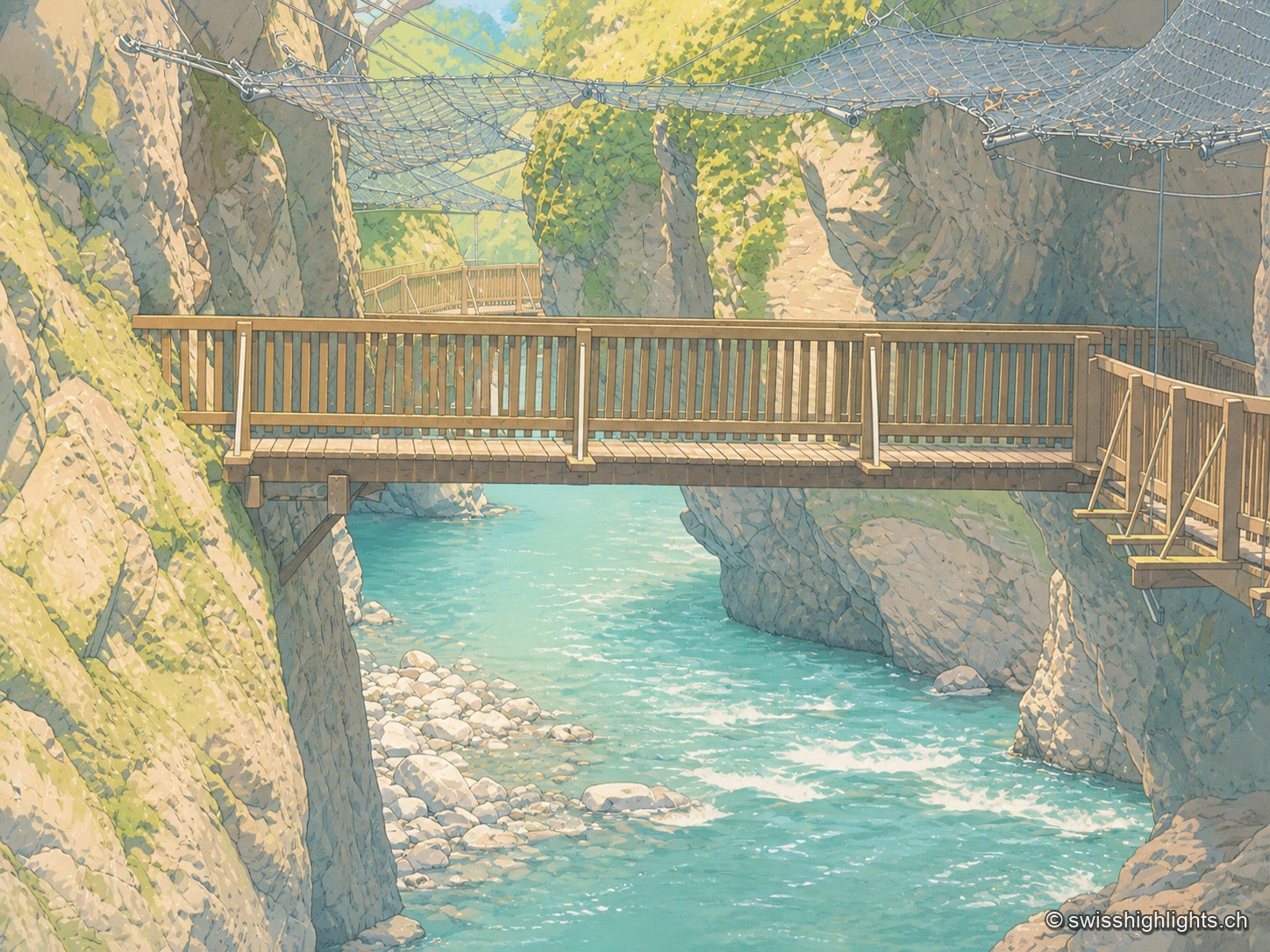
Alpine gorge · Valais · 8 km as the crow flies
Gorges du Trient
Between the communes of Salvan, Vernayaz and Martigny, the Trient has carved a 2 km gorge through rock combining moraine deposits, amphibolite, limestone and schist; two bridges mark the trail that follows it to the Pissevache waterfall.
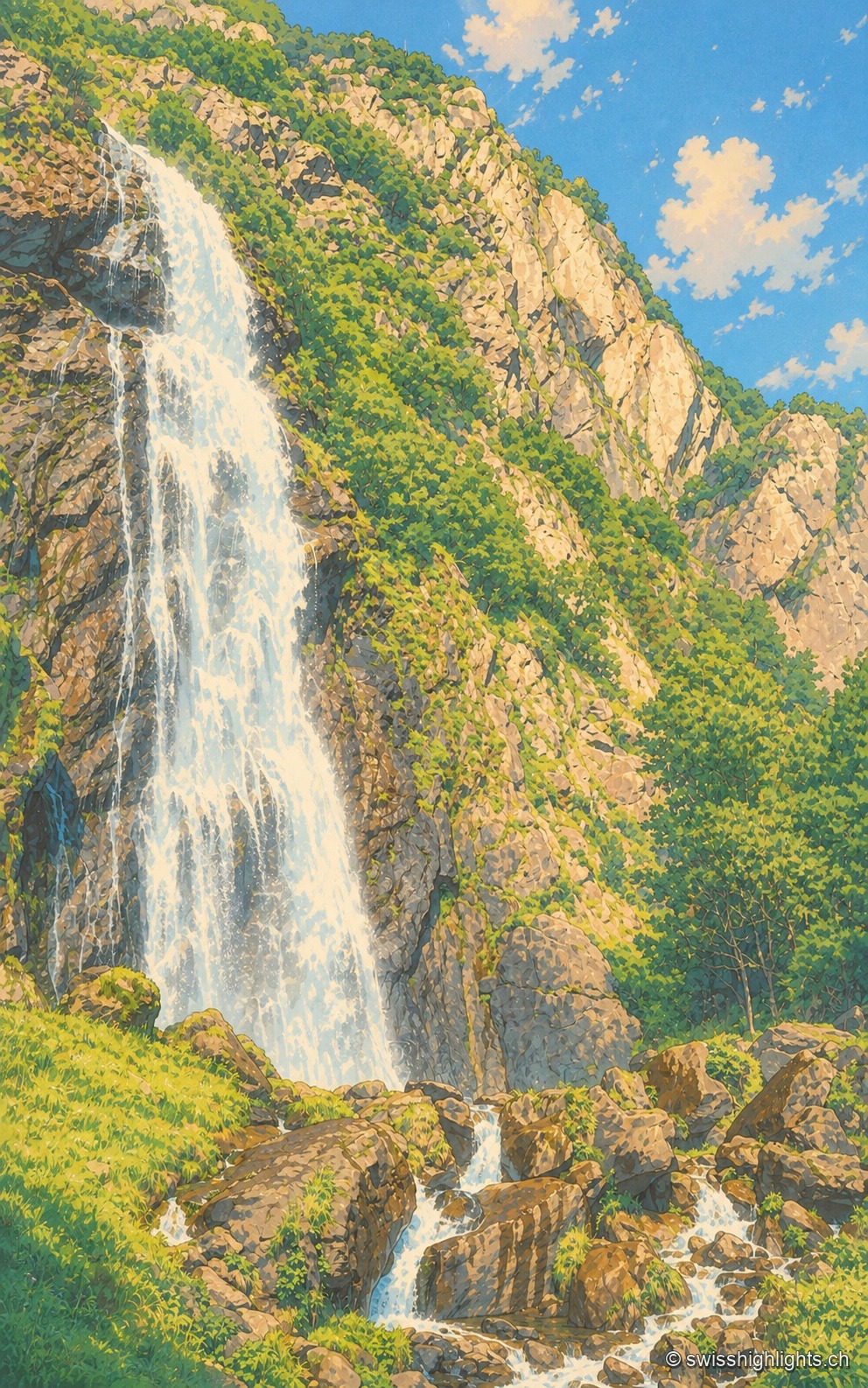
Waterfall · Valais · 9 km as the crow flies
Cascade de la Pissevache
Looked at since the 17th century, it also turned mills; from 1866 a walkway took visitors under the water. The Salanfe dam, built from 1947 to 1950, has greatly reduced its flow.
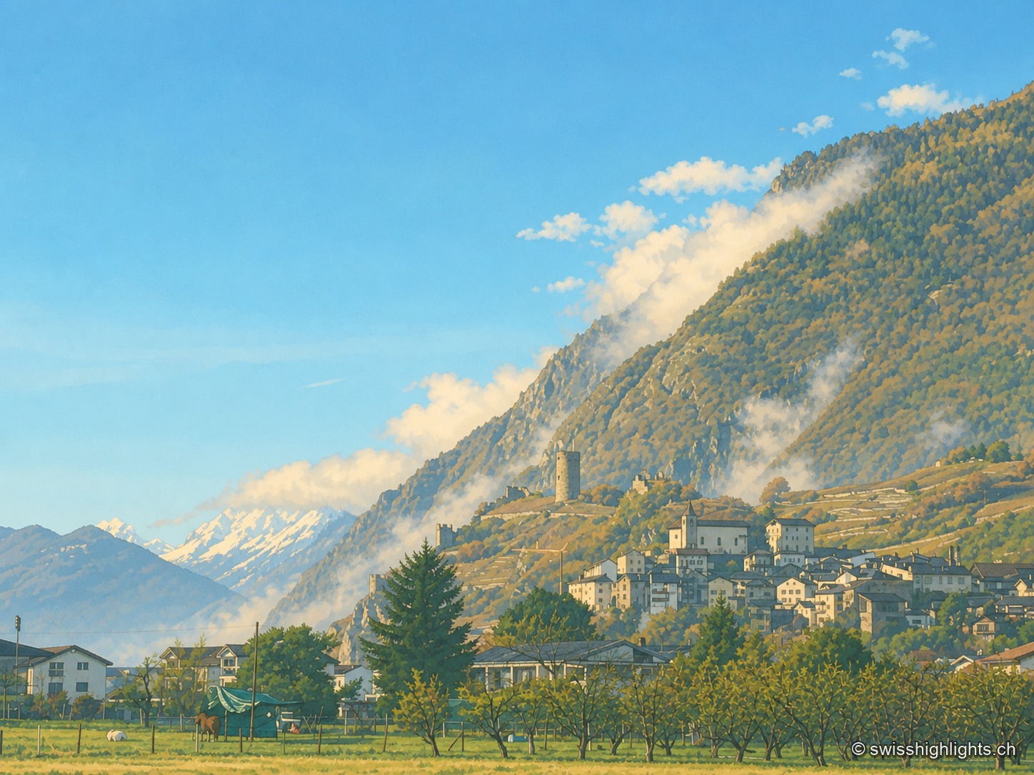
Medieval town · Valais · 14 km as the crow flies
Saillon
The keep stands outside the walls: the castle hill was too narrow to take it. Below, the quarry yielded from 1873 a banded marble that Charles Garnier had laid in the Paris Opera the following year.