Medieval town · Valais
Saillon
A medieval walled town packed onto its rock above the Rhône plain, watched over by the Tour Bayart, a keep raised in 1261-1262 away from the castle.
Saillon holds to a rocky bar that interrupts the Rhône plain, twelve kilometres north-east of Martigny, on the right bank of the river. The town is enclosed by a 13th-century wall pierced by gates opening to the four cardinal points; inside, paved lanes climb in curves, broken by passages and vaulted stairways. The church of Sainte-Catherine, built in 1740 on the rock of the Porte du Scex and topped by a stone pyramid spire, closes the upper end. The commune covers 13.74 km² and keeps an exclave, that of Euloi.
The Tour Bayart occupies a knoll of its own. Jean Mésot, master builder to Peter II of Savoy, and Franciscus cementarius raised it in 1261-1262 on land belonging to Dame Bayart, whose name it carries. The arrangement is unusual: this keep does not stand behind the castle walls, the neighbouring hill being too narrow to hold both a great tower and living quarters. Of the castle only stretches of wall remain; west of the tower, three half-towers and the rampart joining them have been repaired. The top, once covered by a wooden roof now gone, is reached by a stair set in the thickness of the wall, and from there the eye runs from Martigny to Sion.
The other history of Saillon is underground. Marble was cut here from 1832 — a pearly white, a striated blue-grey turquin — but it was the discovery, in 1873, of a cipolin banded with green and violet that launched industrial working: the vein, worked in antiquity, had been thought lost. Charles Garnier had it laid in the Paris Opera from 1874, and a narrow-gauge funicular brought the blocks down from the quarry, opened at 1,000 metres, to the marble works at La Sarvaz from 1880. Twenty-five companies followed one another until 1930, the year extraction stopped; the blocks already in the plain were sold until 1950. A revival in the 1960s, this time to crush the stone, ended in 1975.
Below the town the Salentse has cut a gorge two kilometres long, whose spring re-emerges in the plain at about twenty degrees. Joseph-Samuel Farinet (1845-1880), a counterfeiter born in the Aosta valley, took refuge there and died there; he struck a single coin, a Swiss twenty-centime piece dated 1850, which he handed out in exchange for food and protection. A path marked by twenty-one stained-glass works leads from the square that bears his name to the vineyard known as Farinet's — three vine stocks whose must joins each year a cuvée of 1,000 numbered bottles sold for charity. Higher up, a footbridge crosses the gorge 140 metres above the void.
Why this place is remarkable
Two things set Saillon apart. A great tower built in 1261-1262 outside the castle enclosure, because the castle hill could take either the keep or the quarters but not both — a reversal of the feudal rule, still legible in the two separate knolls above the town. And a quarry whose cipolin, found again in 1873 after being lost since antiquity, went to line the Paris Opera from 1874, then a quantity of buildings across Europe and as far as the United States.
History and origin
The name appears in writing in 1052 as Psallionis; it probably derives from a Latin personal name, Salius or Sallius, and denoted that man's estate. The chapel of Saint-Laurent, outside the village towards Leytron, served as parish church from the 11th century until the town built its own in the 18th. The wall dates from the 13th century; research has located within it two Saint-Jacques hospices, one for travellers, one for the sick, along with the houses of minor local lords. The church of Sainte-Catherine, of 1740, was enlarged in 1925 then restored in 1945 and in 1996; it holds a fresco by Paul Monnier on the martyrdom of Saint Lawrence. The arms come from an old banner, a banneret being attested in 1517.
What to do and see
- Climb the Tour Bayart, a keep built in 1261-1262 apart from the castle, on a mound distinct from the castle's own.
- Wander the medieval town enclosed within its 13th-century walls, cobbled lanes and vaulted passages.
- Follow the trail of twenty-one stained-glass windows dedicated to Farinet, from the square that bears his name to the vine with three stocks.
- Spot, below, the gorge of the Salentse and its spring, which emerges on the plain at around twenty degrees.
Coming with family: what to know
- The via ferrata in the Salentse gorges is rated from moderately difficult to extremely difficult and requires equipment and experience.
- The Poteu cave, with galleries explored over more than twelve kilometres, is passable only by experienced speleologists.
- The footbridge that crosses the gorge 140 metres above the void requires attentiveness with young children.
As a couple
- Climb to the top of the Tour Bayart via the stairway set into the thickness of the wall, with a view from Martigny to Sion.
- Follow the trail of twenty-one stained-glass windows to Farinet's vine and its annual vintage of 1,000 numbered bottles.
- Cross the suspension footbridge 140 metres above the Salentse gorge.
- Look, in the Sainte-Catherine church of 1740, for Paul Monnier's fresco depicting the martyrdom of Saint Lawrence.
The via ferrata that starts from the Salentse gorges is graded from moderately difficult to extremely difficult: it calls for the matching equipment and experience.
The Poteu cave, of which more than twelve kilometres of galleries have been explored, is passable only by experienced cavers.
Location
Loads an interactive Google Maps view on demand, from the place's verified coordinates.
The embedded map will be enabled once an authorized Google Maps key is configured. Use the link above in the meantime.
The map could not load. Check your connection or use the link above to open the place in Google Maps.
Related places
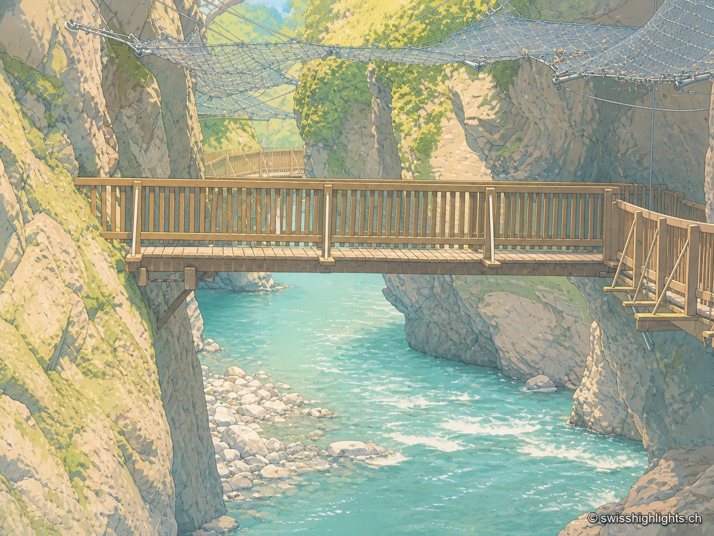
Alpine gorge · Valais · 12 km as the crow flies
Gorges du Trient
Between the communes of Salvan, Vernayaz and Martigny, the Trient has carved a 2 km gorge through rock combining moraine deposits, amphibolite, limestone and schist; two bridges mark the trail that follows it to the Pissevache waterfall.
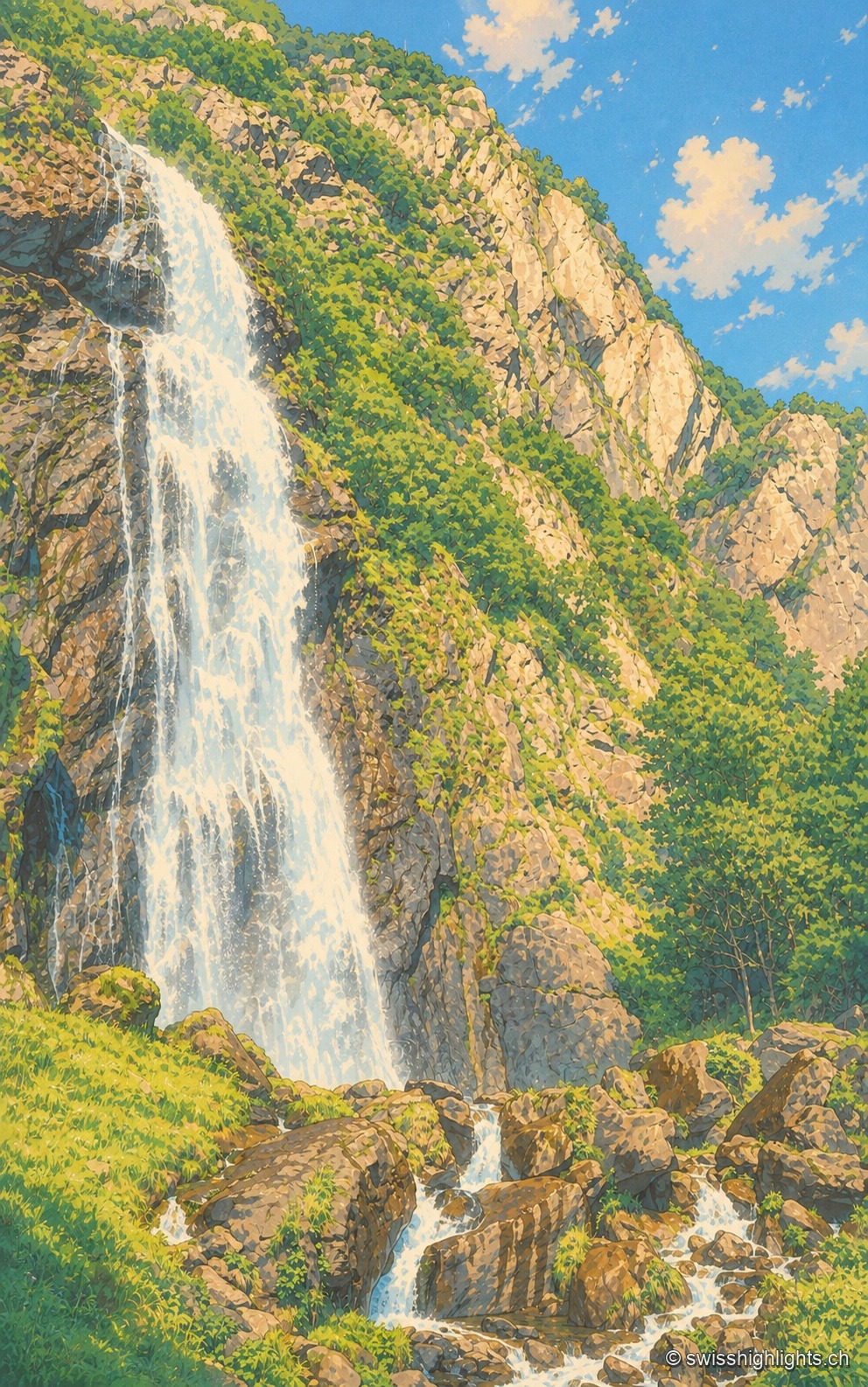
Waterfall · Valais · 13 km as the crow flies
Cascade de la Pissevache
Looked at since the 17th century, it also turned mills; from 1866 a walkway took visitors under the water. The Salanfe dam, built from 1947 to 1950, has greatly reduced its flow.
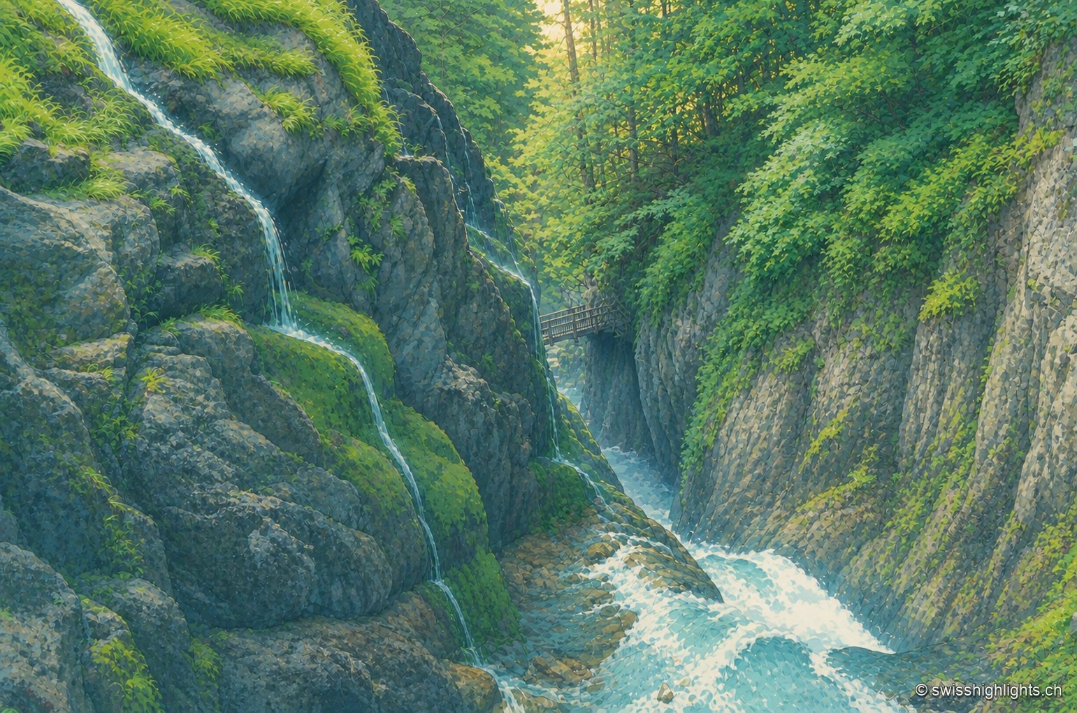
Alpine gorge · Bovernier, Valais · 14 km as the crow flies
Gorges du Durnand
Fed by the Arpette and Gurriaz glaciers, the Durnand cuts through the rock between the Pointe Ronde and the Catogne. A trail opened in 1877, renovated in 1987, follows its fourteen waterfalls near Martigny.