Limestone gorge · St. Gallen
Gorges de la Tamina
An 8.4 km limestone gorge between Pfäfers and Bad Ragaz (SG), carved by the Tamina over 15,000 years, followed by a marked trail suitable for all ages.
The Tamina gorge lies between the communes of Pfäfers and Bad Ragaz, in the south of the canton of St. Gallen. It runs 8,364 metres long over an area of 0.60 km², ranging in altitude from 861 to 1,330 metres, and consists mainly of Quaternary limestone.
Between Valens and the hamlet of Bonadivis, the waters of the Tamina have cut up to 200 metres into the ground over the past 15,000 years, carving a narrow rock fissure about 750 metres long and 70 metres deep, partly covered by a natural bridge between Valens and Ragol. The Swiss geologist Albert Heim wrote in 1921 that 'no other gorge in the Swiss Alps surpasses it in grandeur'.
At the head of the gorge rises a thermal spring whose water, at 36.6°C, supplied the baths of Bad Pfäfers from 1350 to 1969; since then it has served the Valens health clinic and the thermal baths of Bad Ragaz, where the water is used to treat circulatory and rheumatic complaints and the after-effects of accidents.
From Bad Ragaz, the gorge has been walkable along a carriage road opened in 1838; from Bad Pfäfers, a path cut into the eastern flank is passable in summer as far as the spring. A marked trail, suitable for all ages, now follows the whole gorge; the crossing takes about an hour and passes over the Tamina bridge.
Why this place is remarkable
The gorge the Tamina carved through limestone over fifteen thousand years closes in places into a natural bridge, between Valens and Ragol — a formation the geologist Albert Heim judged in 1921 to be unmatched in the Swiss Alps. At its head, a 36.6°C thermal spring has continuously supplied the region's baths from the 14th century to today, first at Bad Pfäfers, then at Valens and Bad Ragaz.
History and origin
How the Tamina's natural bridge formed is still debated. One hypothesis holds that the river first cut a narrow groove through the roughly seven-metre-thick nummulitic limestone before reaching the softer Seewer shale beneath; the resulting widening of the valley is thought to have left the adjoining limestone beds standing, forming the bridge. A second hypothesis holds that the Tamina cut its way beneath the hard rock and that the gorge is in fact a cave; the key outcrops that would settle the question, at the natural bridges themselves, are neither accessible nor visible. Before the Gigerwald dam was built, the riverbed deepened by half a centimetre to two centimetres a year.
What to do and see
- Follow the waymarked path along the full 8.4 kilometres of gorges between Pfäfers and Bad Ragaz, a crossing of about an hour.
- Observe the natural bridge that closes off the gorge in places between Valens and Ragol, a formation that the geologist Albert Heim judged in 1921 to be unmatched in the Swiss Alps.
- Spot the 36.6 °C thermal spring gushing at the bottom of the gorges, which has fed the region's baths since the 14th century.
- Take the carriage road opened in 1838 from Bad Ragaz, passing by the Tamina bridge.
Coming with family: what to know
- The waymarked path along the full length of the Tamina gorges is described in the source as accessible to all ages.
As a couple
- Walk to the natural bridge formed by the waters of the Tamina over 15,000 years of carving through limestone.
- Stop at the bottom of the gorge, where the thermal spring that has fed the baths of Bad Ragaz for centuries gushes out.
- Combine the crossing with a stop at the Tamina bridge, a landmark of the route.
Location
Loads an interactive Google Maps view on demand, from the place's verified coordinates.
The embedded map will be enabled once an authorized Google Maps key is configured. Use the link above in the meantime.
The map could not load. Check your connection or use the link above to open the place in Google Maps.
Related places
Wine village · Grisons · 7 km as the crow flies
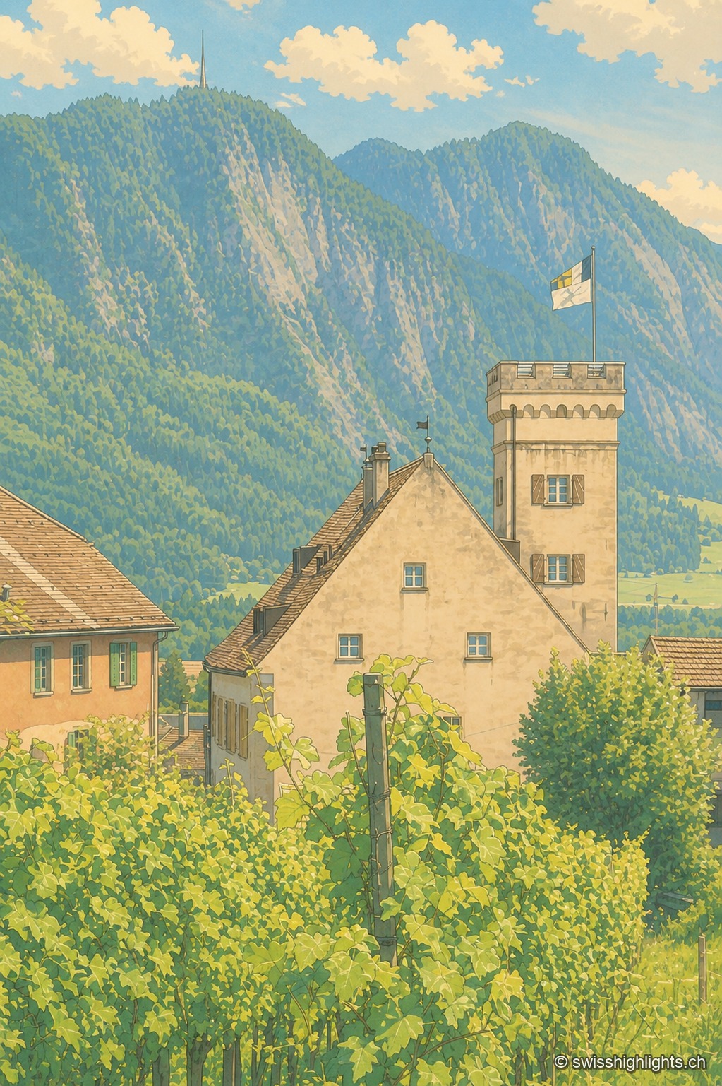
Malans
The village centre and Bothmar Castle, whose central wing dates from the 16th century, are cultural properties of national significance. The Gothic church of 1469 received rococo stuccowork in 1773; the town hall keeps a council room from 1685.
Fortified town · St. Gallen · 22 km as the crow flies
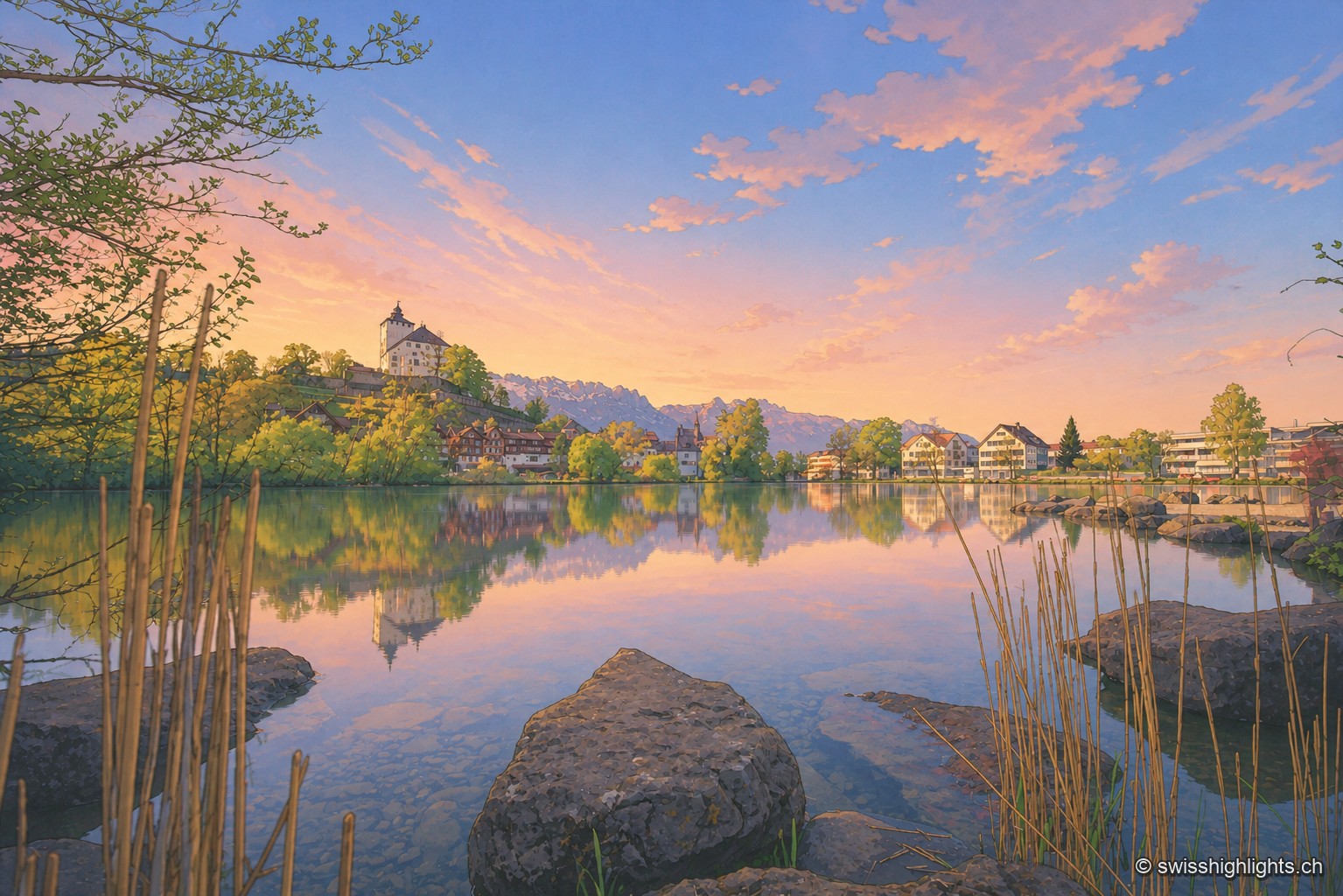
Werdenberg
Market rights here are attested since 1289. The county of Werdenberg changed hands several times before being sold to Glarus in 1517; it joined St. Gallen in 1803. The castle has hosted a festival since 1985.
Former industrial village · Glarus · 32 km as the crow flies
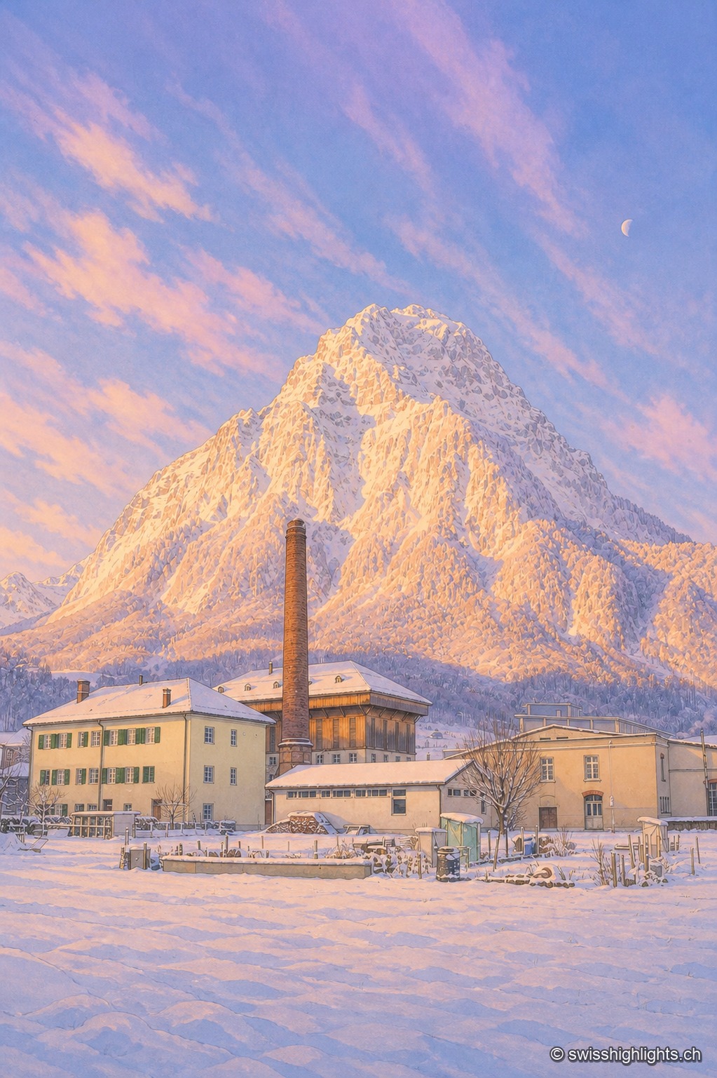
Ennenda
2,684 inhabitants, a Gemeindehaus built like a palace in 1889-1890, the chocolate maker Läderach: Ennenda, merged into Glarus since 2011, was carried first by the slate-table trade, then by textiles.