Fortified town · St. Gallen
Werdenberg
A medieval town of some forty wooden houses, dominated by its castle, which claims the title of the smallest town in Switzerland (about 90 inhabitants).
Werdenberg is a locality in the canton of St. Gallen, in the municipality of Grabs, 0.5 kilometres west of Buchs, on the shore of Lake Werdenberg and at the foot of the Gonzen and Hoher Kasten peaks. This medieval town of some forty wooden houses holds town status, with market rights attested since 1289; it claims the title of the smallest town in Switzerland, with about 90 inhabitants. Werdenberg Castle overlooks the town from its rocky spur.
Since 2008, the built ensemble of Werdenberg has been listed in the Federal Inventory of Swiss Heritage Sites of National Importance (ISOS). The castle, which today houses a museum, has hosted the Werdenberger Schloss-Festspiele, a festival held in its courtyard, since 1985.
Why this place is remarkable
Werdenberg owes its distinctiveness to a mismatch of scale: a town of some forty wooden houses, which claims the title of smallest town in Switzerland with about 90 inhabitants, yet has held market rights since 1289 and a castle that was the seat of a county sold to the Confederates of Glarus in 1517 for 21,500 guilders.
History and origin
The county of Werdenberg, born of the 1277 division among the branches of the House of Werdenberg, changed hands several times before being sold in 1517 to the Confederates of Glarus for 21,500 guilders. Glarus then administered it as a bailiwick, with a reputation for severity. In 1798, under the Helvetic Republic, Werdenberg passed to the canton of Linth; in 1803, the Mediation constitution attached it to the canton of St. Gallen. The earliest written mention of a house owner in the town dates to 1294.
What to do and see
- Walk through the medieval town of about forty timber houses, on the shore of Lake Werdenberg.
- Climb up to the castle on its rocky spur, now a museum.
- Place the market rights attested since 1289 and the claimed title of smallest town in Switzerland.
- Take in the setting: Lake Werdenberg at the foot of the Gonzen and the Hoher Kasten.
Coming with family: what to know
- The town can be visited on foot, on the shore of Lake Werdenberg.
As a couple
- Wander the lanes of the smallest town-borough claimed in Switzerland, among timber houses.
- Climb up to the castle on its rocky spur, with a view over Lake Werdenberg.
- Take time by the lake, at the foot of the Gonzen and the Hoher Kasten.
Location
Loads an interactive Google Maps view on demand, from the place's verified coordinates.
The embedded map will be enabled once an authorized Google Maps key is configured. Use the link above in the meantime.
The map could not load. Check your connection or use the link above to open the place in Google Maps.
Related places
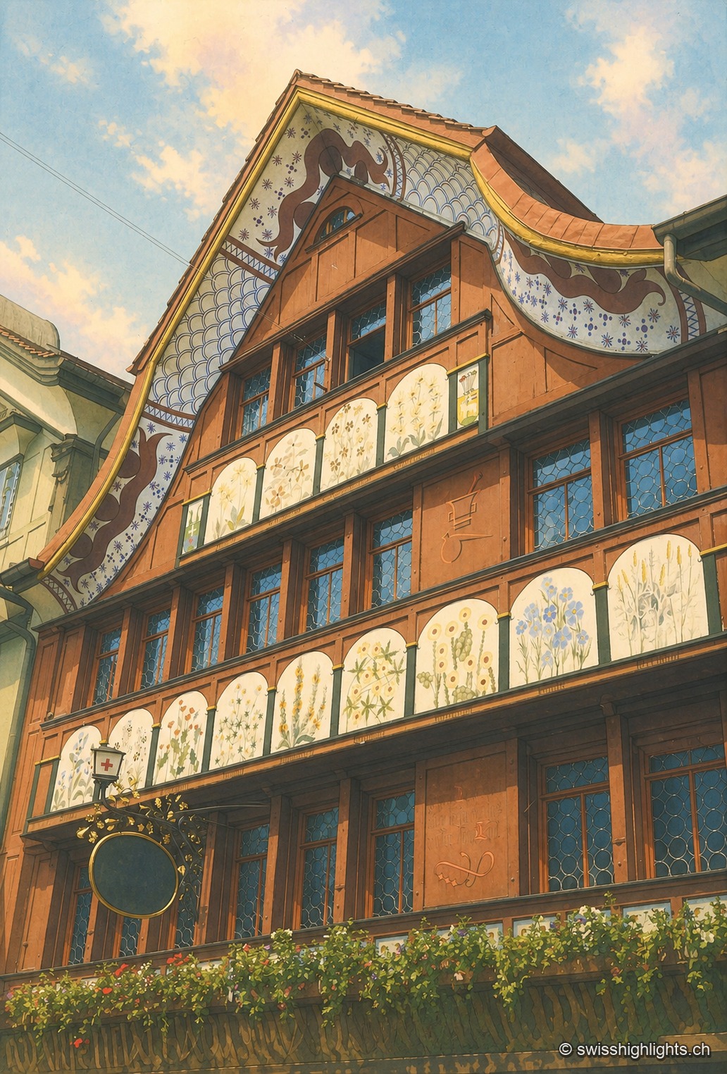
Village · Appenzell Innerrhoden · 19 km as the crow flies
Appenzell
A township of 5,778 inhabitants at the foot of the Appenzell Prealps, whose name, recorded in 1071, means the abbot's cell. On its square, citizens still vote by show of hands.
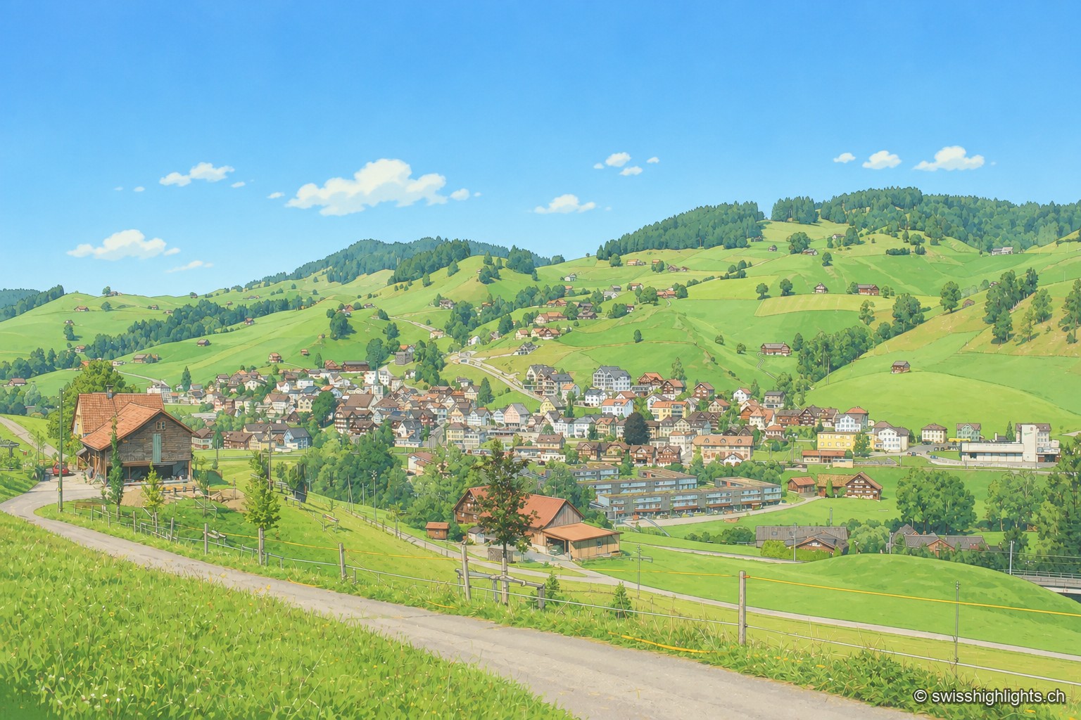
Appenzell village · Ausserrhoden · 21 km as the crow flies
Urnäsch
First recorded in 831, Urnäsch became an autonomous parish in 1417, then, after the 1597 cantonal split, the first of the six Rhoden of Appenzell Ausserrhoden. Weaving, then embroidery, supported generations here.
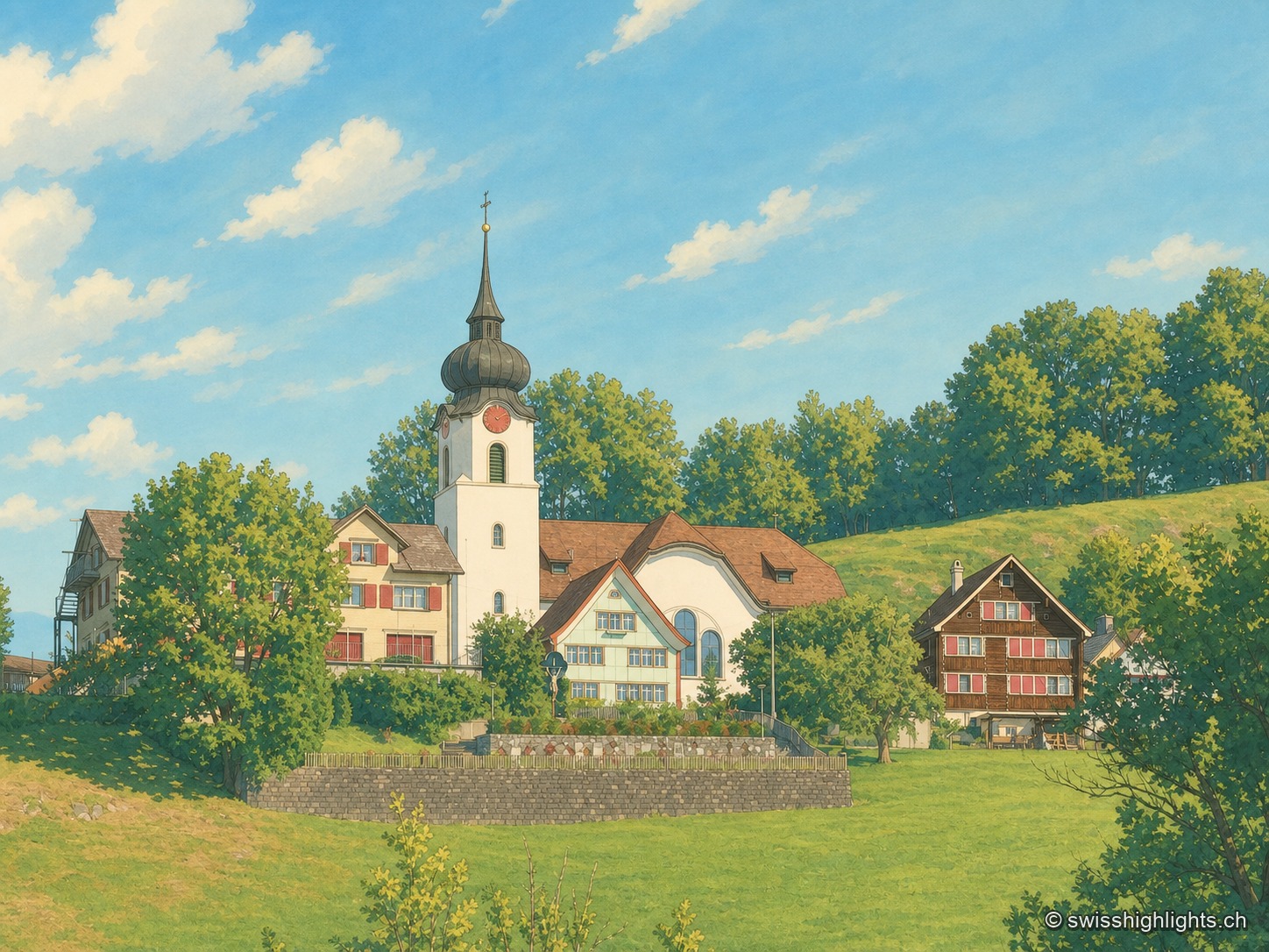
Ridge village · Appenzell · 22 km as the crow flies
Schlatt AI
The name is written around 1200, as Slatte, for a pasture on a slope. The road to Appenzell came only in 1898, and the church was consecrated on 12 June 1912. The site is listed in the ISOS inventory under number 0391.