Switzerland's highest summit · Valais
Dufourspitze
At 4,634 m, Switzerland's highest summit and the highest in the Alps outside the Mont Blanc massif, on the Monte Rosa ridge above Zermatt.
The Dufourspitze rises to 4,634 m on the west-east ridge of Monte Rosa, where six summits above 4,000 m stand in the south-east of canton Valais, in the municipality of Zermatt, a few hundred metres from the Italian border. It lies about 130 m from the Grenzgipfel, which marks the highest point of the border between Italy and Switzerland. Its north face carries the Monte Rosa Glacier, its south face the Grenz Glacier; both feed the Gorner Glacier, which gives rise to the Mattervispa, in the Rhône basin.
The summit was first called Höchste Spitze ('highest point'). It took its current name by decision of the Federal Council on 28 January 1863, honouring Guillaume Henri Dufour, a Swiss army general during the Sonderbund war and creator of the Dufour map. Its first ascent, on 1 August 1855, was led by the Britons Charles Hudson, John Birkbeck, Edward John Stevenson and the brothers Christofer and James Greenville Smyth, with the guides Mathias and Johann Zumtaugwald of Zermatt and Ulrich Lauener of Lauterbrunnen — unrelated to the Swiss National Day, first celebrated only in 1891. Ten years later Charles Hudson died, together with three of his six rope-mates, during the first ascent of the Matterhorn.
The Italian normal route starts from the Capanna Regina Margherita, the highest staffed refuge in the Alps at 4,554 m on the Punta Gnifetti, usually reached after crossing the 'Monte Rosa 4,000ers' to aid acclimatisation. On the Swiss side, the most used route takes the Gornergrat rack railway from Zermatt to Rotenboden station, crosses the crevassed Gorner Glacier for a few dozen metres, reaches the Monte Rosa hut, then climbs the Monte Rosa Glacier to the Satteltole before the final ridge.
Why this place is remarkable
The Dufourspitze is, by a margin of 130 m, the highest point of the Italian-Swiss border and the highest summit in the Alps outside the Mont Blanc massif — a status its name, given in 1863 to honour a cartographer rather than a mountaineering feat, does not suggest. It is sometimes loosely called 'Monte Rosa', after the massif it crowns, though Monte Rosa proper groups six distinct summits above 4,000 m. Charles Hudson, who led the first rope party in 1855, died ten years later on the neighbouring Matterhorn, in the same decade that saw high-mountain climbing take shape in this region.
History and origin
The summit was called Höchste Spitze until the Federal Council gave it, on 28 January 1863, the name of Guillaume Henri Dufour, a Swiss army general during the Sonderbund war and creator of the Dufour map. The first ascent of the eastern flank (normal route) dates from 1872, made by the Britons Richard and William Pendlebury and Charles Taylor, the Swiss Ferdinand Imseng, the Austrian Gabriel Spechtenhauser and the Italian Giovanni Oberto; the first winter ascent of the same flank took place on 5 and 6 February 1965, by the Italian guides Luciano Bettineschi, Felice Iacchini, Michele Pala and Lino Pironi, starting from Macugnaga.
What to do and see
- Follow the Swiss route from Zermatt: the Gornergrat rack railway to Rotenboden, crossing the Gorner glacier, the Monte Rosa hut, then the final ridge.
- Note the Grenzgipfel, about 130 metres from the Dufourspitze, which marks the highest point of the Italian-Swiss border.
- Locate the six peaks over 4000 metres aligned along the Monte Rosa ridge, of which the Dufourspitze is the highest point.
- Observe the glaciers that originate on its two flanks — the Monte Rosa Glacier to the north, the Grenz Glacier to the south — feeding the Gorner glacier.
As a couple
- Take the Gornergrat rack railway together, the first stage of the Swiss route to the summit.
- Stop at the Monte Rosa hut before the final glacial stretch to Satteltole and the final ridge.
- Tell each other the story of the first roped party in 1855, led by Charles Hudson, who died ten years later on the nearby Matterhorn.
The climb crosses a crevassed glacier for several dozen metres and requires prior acclimatisation to altitude; it is not a summit accessible without mountaineering experience, whichever route is chosen.
The ascent crosses a crevassed glacier for several dozen metres and requires prior altitude acclimatisation; this is not a summit accessible without alpine experience, whichever route is chosen.
Location
Loads an interactive Google Maps view on demand, from the place's verified coordinates.
The embedded map will be enabled once an authorized Google Maps key is configured. Use the link above in the meantime.
The map could not load. Check your connection or use the link above to open the place in Google Maps.
Related places
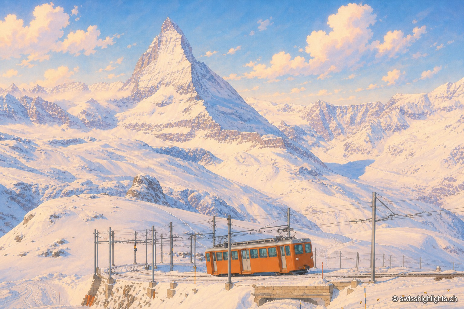
Summit ridge · Valais · 8 km as the crow flies
Gornergrat
From this ridge at 3,133 metres, more than twenty Alpine summits above 4,000 metres can be taken in at once. A rack railway has climbed here since 1898, and two hotel towers house observatories.
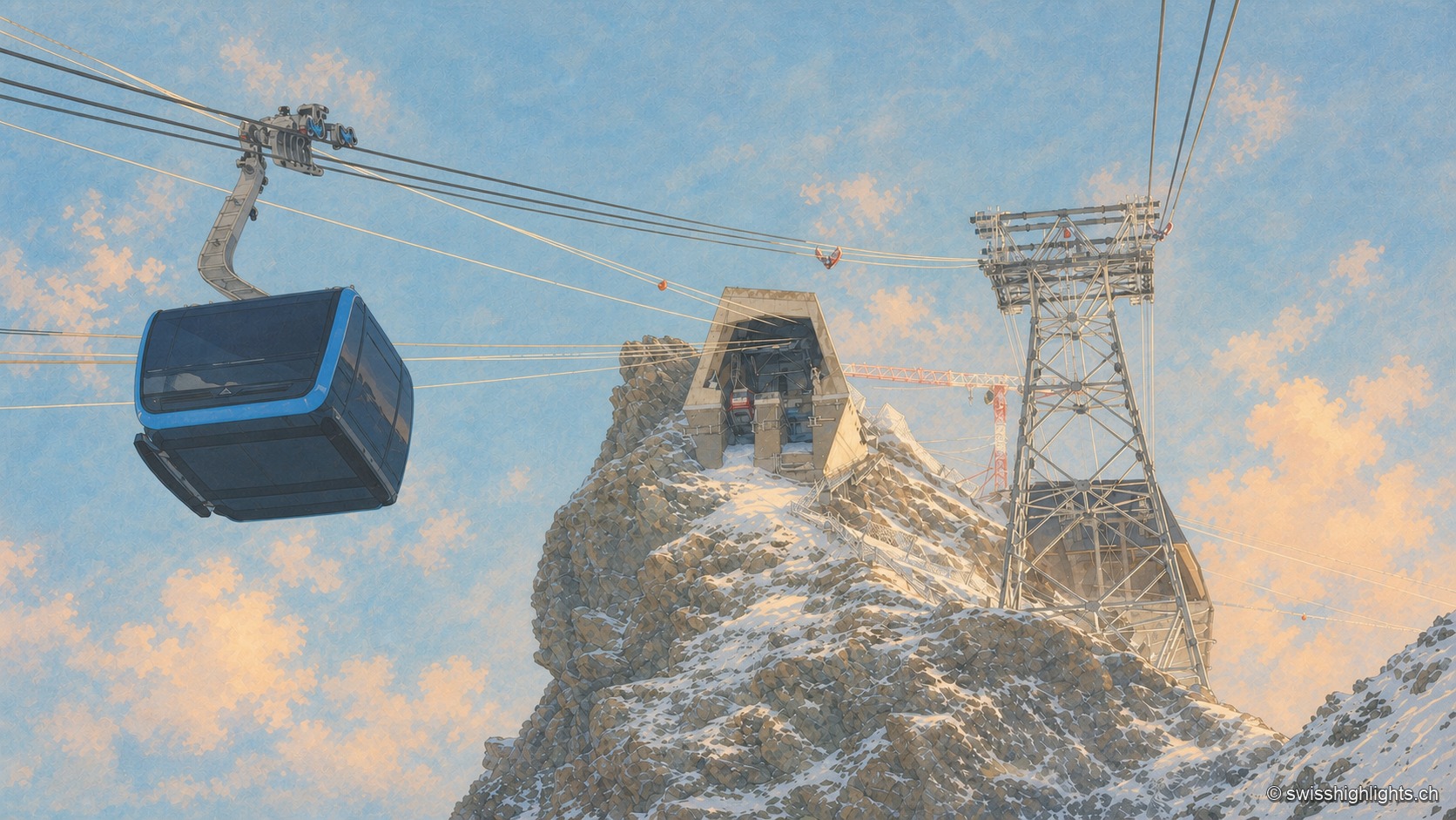
Summit · Valais · 11 km as the crow flies
Klein Matterhorn
Surveys give it as 3,882 or 3,883 metres, a little over a kilometre from the Italian border. Its north face carries a cable-car station at 3,820 metres, from which a 160-metre tunnel runs through the mountain.
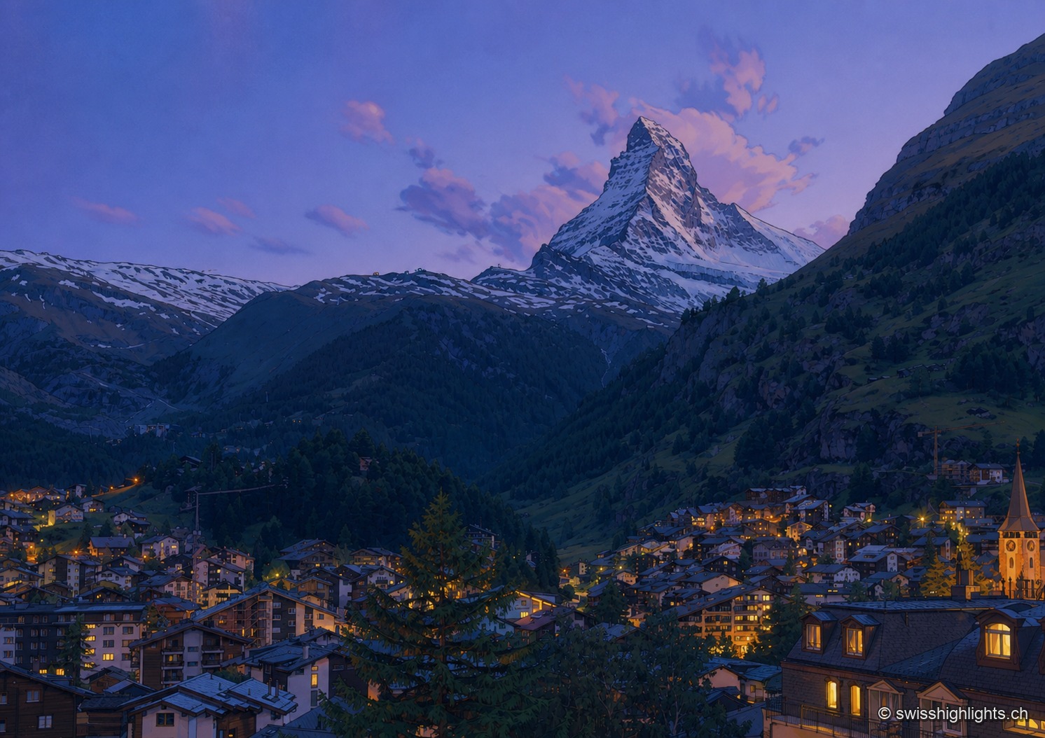
Mountain village · Valais · 13 km as the crow flies
Zermatt
A village at 1,620 metres at the end of a valley closed off by ice. Cars have been kept out since the votes of 1972 and 1986, and 85.2% of the communal territory remains unproductive.